Browse Listings in Asia > Central Asia
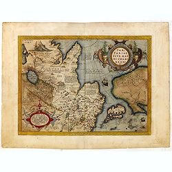
Tartariae sive Magni Chami Imperium.
This is a very early depiction of the northern Pacific, with the first mapping of the Northwest Coast of America and probably the first map to name California 'C. Califor...
Date: Antwerp, c. 1590
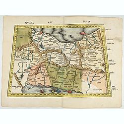
Quinta Asie Tabvla.
A woodblock map of ancient Median and Persian lands in modern-day Iran is from Martin Waldseemüller's 1513 edition of Ptolemy, a landmark work that contributed to major a...
Date: Strasbourg, J. Schott, 1513
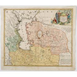
Nova Maris Caspii et Regions Usbeck. . .
This is the first printed map specifically of the Uzbek region. It shows the area around the Caspian Sea and northern Iran. The area eastward from the Caspian is marked '...
Date: Nuremberg, 1735
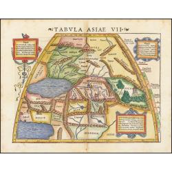
Tabula Asiae VII.
Attractive woodblock map, depicting the Caspian Sea, Black Sea and the Persian Gulf, extending to the Imaus Mountains. according to Ptolemy. In the center of the map is...
Date: Basle, 1542
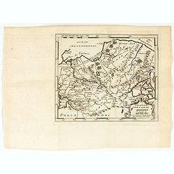
Grande Tartarie.
A very nice small map of Central Asia extending from the Caspian Sea to the Pacific Ocean. From Francisco Giustiniani for El Atlas abreviado o el nuevo compendio de la Ge...
Date: Leon de Francia (Lyon), Jaime Certa, 1739
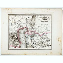
Il Turkestan il Mar d'Aral ed il Mar Caspio.
Uncommon map of Turkestan with the Northern part of the Caspian Sea, with part of present-day Uzbekistan in the lower right corner. in the prepared by Francesco Costanti...
Date: Genova, Paolo Rivara fu Giacomo, 1858
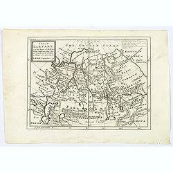
Great Tartary, with the tract of the Moscovite Ambassador's Travels from Moscow to Pekin in China.
An interesting map illustrating the route taken by the Russian Ambassador on his travels east to Beijing. Shows the Great Wall, "Somer Houses" and "parts u...
Date: London, 1732
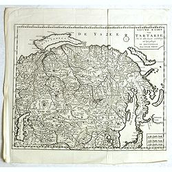
Nieuwe kaart van Tartarie. . .
A map of Tartary, Korea and part of Japan. Map place names in Korea are marked. The map is most notable for the confusion between Kamchatka and Jesso.The Caspian Sea in t...
Date: Amsterdam, 1731 / 1750
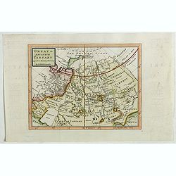
Great or Asiatick Tartary, Agreable to Modern History.
Map of Tartary to Peking. The eastern coastline of Asia is almost flat, with no attempt to mark Kamchatka. The Caspian Sea in the lower left, with present-day Uzbekistan ...
Date: London, 1727
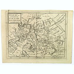
Great or Asiatick Tartary, Agreeable to Modern History.
A map from the Frozen Ocean in the north to Usbec Tartary in the south, from Moscow in the west to China Tartary and Peking in the east. Rivers and mountains feature prom...
Date: London, ca. 1727
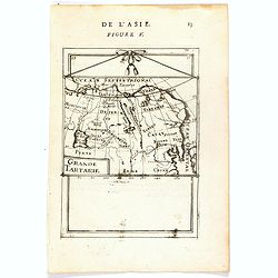
Grande Tartarie (de L'Asie / Figure V).
A fine and uncommon early 17th century map of Tartary with Korea. and the name USBECK showing in present-day Usbekistan.From the French text edition of "Description ...
Date: Paris, 1683
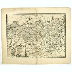
A New and Accurate Map of the Whole Russian Empire as contained both in Europe and Asia. . .
Detailed map of Russia, from the Sea of Anadyr, Sea of Kamchatka and the Kuril Islands to St.Petersburg. Also includes Tibet, Korea and part of China, with the Great Wal...
Date: London, c. 1747
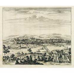
Terki, ville de la Circassie, dans l'Asie.
A very detailed panoramic view of Terki in the Caucasus, the capital of one of the most powerful Dagestani potentates of southeast Asia.Showing the Volga River.The town o...
Date: Leiden, c. 1719
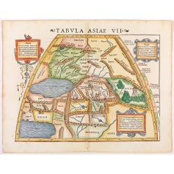
Tabula Asiae VII.
Attractive woodblock map, depicting the Caspian Sea, Black Sea and the Persian Gulf, extending to the Imaus Mountains, according to Ptolemy. In the center of the map is m...
Date: Basle, 1542
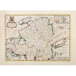
A New Map of Great Tartary and China with the adjoining parts of Asia…
Two insets show the land to the northeast of China, according to Jesuit information. The map stretches from northern Russia and Nova Zemlya in the northwest to Formosa in...
Date: Oxford, 1700
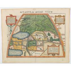
Tabula Asiae VII.
Attractive woodblock map, depicting the Caspian Sea, Black Sea and the Persian Gulf, extending to the Imaus Mountains. according to Ptolemy. In the center of the map is...
- $500 / ≈ €427
Date: Basle, 1542
