Browse Listings in America > North America > Indiana / Ohio / Kentucky / Georgia / Alabama
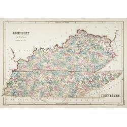
Kentucky.
A detailed lithographed map of Kentucky. Published by Adam (1784-1874) and Charles Black, publishers active in Edinburgh.
- $100 / ≈ €87
Date: Edinburg, 1874
