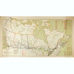
Featured Listings in America > Canada > Canada maps
![The Coast of New Found Land From Salmon Cove to Cape Bonavista. . . [together with] The Coast of New Found Land from Cape-Raze to Cape St-Francis.](/uploads/cache/40658-250x250.jpg)
The Coast of New Found Land From Salmon Cove to Cape Bonavista. . . [together with] The Coast of New Found Land from Cape-Raze to Cape St-Francis.
Two charts showing the coast of New Found Land from Salmon Cove to Cape Bonavista and from Cape-Raze to Cape St-Francis. With inset chart of Trinity HarborGrierson publis...
Date: Dublin, 1767

Nieuwe kaart van Kanada . . .
Nice map of the Bay of Hudson, In Labrador, a small inset of Nova Scotia. The map is dated 1769. All text is in Dutch. The map shows the region shortly after the conclusi...
Date: Amsterdam, 1769

Carte de la partie septentrionale des Etats Unis..
An attractive 1801 map of North America's east coast north of Long Island. Including St.Laurence River as far south as Lake Ontario. Engraved by André and P.F.Tardieu. A...
Date: Paris, 1801

Cunard to Canada.
Poster by Charles Eddowes Turner for Cunard lines. The poster shows The NEW SYLVANIA, one of the four new 22,000 - ton Cunarders which are the largest ever built for serv...
Date: England, ca. 1930
