Browse Listings
[Lot of 14 maps] Carte Generale de la Coste de la Guinée. Plus a map of the Gulf of Guinea on 2 sheets by Rigobert Bonne and 6 other maps of the Gulf of Guinea
Jaques Nicolas Bellin (1702-720) was the most important French hydrographer of the 18th century. Sea-atlas 'Hydrographique Français' , 1756-65, atlas to accompany Prévo...
Date: Paris, 1750
Selling price: ????
Please login to see price!
Sold in 2024
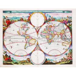
Orbis Terrarum Tabula Recens Emendata Et In Lucem Edita.
A world map in two hemispheres, decorated in the corners with the representations of the four continents in allegorical form.
Date: Amsterdam, c. 1750
Selling price: ????
Please login to see price!
Sold in 2022
[Lot of 4 maps] Afbeeldinge der Oostersche Landen. / van ' T Land Kanaan.
Willem Albert Bachiene (1712-1783), Dutch geographer in Maastricht. Most important work ' Heilige Geographie', a work on the Holy Land. A map of the Near East and a map o...
Date: Amsterdam, c. 1750
Selling price: ????
Please login to see price!
Sold in 2022
[Lot of 10 maps and prints of Birma, Thailand and Malaysia.]
A map of the Gulf of Bengal with the adjacent coasts of India and Sri Lanka, Bangla Desh, Birma, Thailand and Malaysia. Ref.: Gole, India within the Ganges, 62.11.1Jaques...
Date: Paris, Amsterdam, c. 1750
Selling price: ????
Please login to see price!
Sold in 2022
[9 maps of Peru and Chili]
A map of the Southamerican continent from the Dutch edition of Robertson's ' History of America'.Plus 8 maps of Peru and Chili
Date: London, ca. 1750
Selling price: ????
Please login to see price!
Sold in 2022
[lot of 5 maps/prints map of South America] Chili. Paraguay, Brésil, Amazones, et Pérou.
Louis Brion de la Tour (1756-1823), ' Atlas Géneral, Civil et Ecclésiastique', 1766, ' Atlas Général', 1790-98. Louis Charles Desnos (fl.1750-70), Paris-based publish...
Date: Paris, c. 1750
Selling price: ????
Please login to see price!
Sold in 2022
[Portrait of Petrus Bertius.]
Portrait of Petrus Bertius (1565-1629). After a painting of R.Buys. Theologian, historian, geographer and cartographer. Bertius published much in mathematics, and histori...
Date: Amsterdam, 1750
Selling price: ????
Please login to see price!
Sold in 2022
[Lot of 22 maps / prints] Kaart van Mexico en Nieuw Granada in de Spaansche West-Indien.
A detailed map showing the Caribbeans, the Gulf of Mexico with its adjacent lands and Central America.. Izaak Tirion (d. 1769) Amsterdam publisher. His ' Nieuwe en beknop...
Date: Amsterdam, c. 1750
Selling price: ????
Please login to see price!
Sold in 2022
[Lot of 7 map / prints of Madagascar] Parte de la Cote Orientale d' Afrique avec l' Isle de Madagascar et les Cartes particulières des Isles de France et de Bourbon.
A map of Madagascar with 2 insets depicting Mauritius and Réunion. and the opposite mainland of Africa, nowadays Mocambique. The area around the Zambesi river, rich in g...
Date: Paris, c. 1750
Selling price: ????
Please login to see price!
Sold in 2022
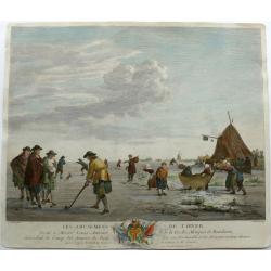
Winter pleasures on the Haarlemmer Lake with Haarlem in the distance.
Engraving By J. Aliamet, Les Amusements De L'Hiver. Rare 18th century Dutch golf engraving by J. Aliamet depicting Dutchman playing the early form of golf on the ice near...
Date: Paris, 1750
Selling price: ????
Please login to see price!
Sold in 2023
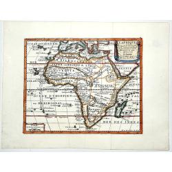
L AFRIQUE Dresse sur les Observations de Mrs de L'academie Royalle des Sciences. . .
A very fine, old color, decorative map of Africa, showing the Mediterranean and south Europe, Madagascar, Azores and Cape Verde. The Atlas was published on behalf of the ...
Date: Paris, 1751
Selling price: ????
Please login to see price!
Sold in 2019
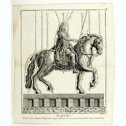
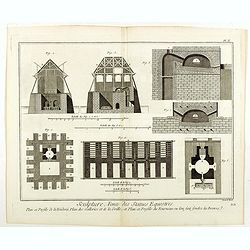
Sculpture, Fonte des Statues Equestres . . . (PL IV).
The plate shows the steps in the casting of massive equestrian statues, one of the staples of public monuments before the twentieth century. As the rule with the plates i...
Date: Paris, 1751
Selling price: ????
Please login to see price!
Sold in 2019
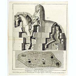
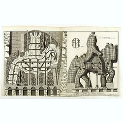
Sculpture, Fonte des Statues Equestres . . . (suite de la PL III)
The plate shows the steps in the casting of massive equestrian statues, one of the staples of public monuments before the twentieth century. As the rule with the plates i...
Date: Paris, 1751
Selling price: ????
Please login to see price!
Sold in 2019
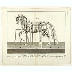
Sculpture, Fonte des Statues Equestres . . . (PL III)
The plate shows the steps in the casting of massive equestrian statues, one of the staples of public monuments before the twentieth century. As the rule with the plates i...
Date: Paris, 1751
Selling price: ????
Please login to see price!
Sold in 2020
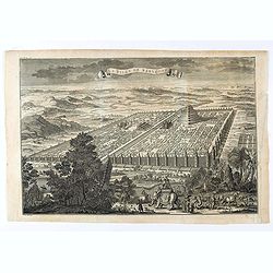
La ville de Babylone.
Eye bird view of the city of Babylone. Engraved by J.Punt. From "L'Histoire Universelle Depuis la Commencement du Monde, Jusqu'a Present, Traduit de L'Anglois D'Une ...
Date: Amsterdam, Arkstée et Merkus, 1751
Selling price: ????
Please login to see price!
Sold in 2021
Sculpture, Fonte des Statues Equestres . . . (PL II)
The plate show the steps in the casting of massive equestrian statues, one of the staples of public monuments before the twentieth century. As the rule with the plates in...
Date: Paris, 1751
Selling price: ????
Please login to see price!
Sold in 2021
Sculpture, Fonte des Statues Equestres . . . (PL V)
The plate shows a step in the casting of a massive equestrian statue, one of the staples of public monuments before the twentieth century. As the rule with the plates in ...
Date: Paris, 1751
Selling price: ????
Please login to see price!
Sold in 2021
Sculpture, Fonte des Statues Equestres . . . (PL I)
The plate shows the steps in the casting of massive equestrian statues, one of the staples of public monuments before the twentieth century. As the rule with the plates i...
Date: Paris, 1751
Selling price: ????
Please login to see price!
Sold in 2021
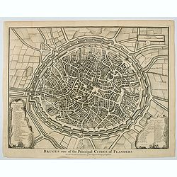
Bruges one of the Principal Cities of Flanders.
A birds-eye plan of the lovely Belgian city of Bruges, seen here within its ancient walls and fortifications. A number of bridges and windmills are shown, along with pict...
Date: London, ca 1751
Selling price: ????
Please login to see price!
Sold in 2023
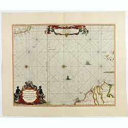
Pascaerte van Rio Gambia Als meede het Vaerwater tussen Cabo Verde en Brazil.
A highly decorative sea chart of the Atlantic Ocean between Gambia, Cap Verde and Brazil. On top is a figurative scale cartouche flanked with putti and in the lower left...
Date: Amsterdam, 1751
Selling price: ????
Please login to see price!
Sold in 2023
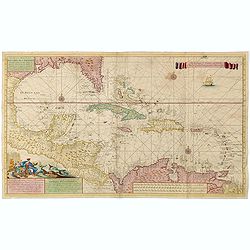
Nouvelle Carte Marine de Toute les Cotes de l´Amerique montrant toutes les isles, Bayes et rivieres, aussi toutes les roches et profonts . . .
Rare chart of Florida, the Gulf Coast, Caribbean and Central America, with great detail through the region, including dangerous rocks, soundings, etc.Florida shows a bit ...
Date: Amsterdam, 1728 - 1751
Selling price: ????
Please login to see price!
Sold
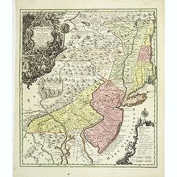
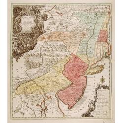
Pensylvania, Nova Jersey et Nova York..
One of the few maps to concentrate on this area and one of the most bizarre maps of North America ever published. The entire coastline is highly inaccurate; New Hampshire...
Date: Augsburg c.1751
Selling price: ????
Please login to see price!
Sold
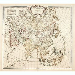
Carte de l'Asie dressé sur les relations les plus..
Standard map of Asia, with good detail.
Date: Paris, 1751
Selling price: ????
Please login to see price!
Sold
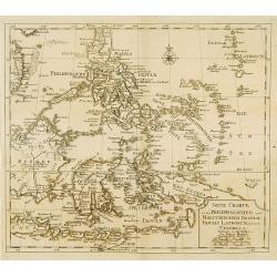
Neue Charte von dem Philippinischen und Moluckischen Insuln..
Very rare map of South East Asia including the Philippines, Moluccas, New Guinea, parts of Borneo, and Java. The map is a faithful copy of Isaac Tirion's map of a few yea...
Date: Altona, 1751
Selling price: ????
Please login to see price!
Sold
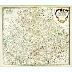
Le royaume de Boheme, le Duché de Silésie..
Covering Czech Republic, embellished with decorative title cartouche.
Date: Paris, 1751
Selling price: ????
Please login to see price!
Sold in 2008
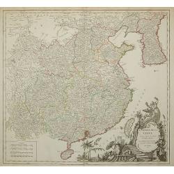
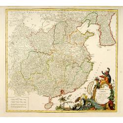
L'Empire de la Chine..
Detailed map of China, Korea and Taiwan. Decorative cartouche lower right.
Date: Paris 1751
Selling price: ????
Please login to see price!
Sold
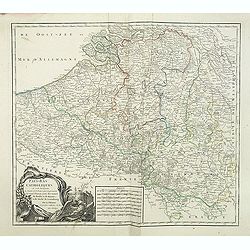
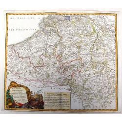
Pays-Bas Catholiques.
Nice, detailed, copper engraved map of the region of present day Belgium and Luxembourg. A fine military themed cartouche with a large fancy cartouche. Gilles Robert de V...
Date: Paris, 1751
Selling price: ????
Please login to see price!
Sold in 2015
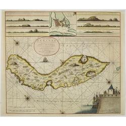
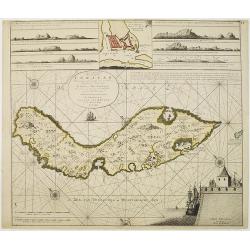
Nieuwe Afteekening van het Eyland Curacao vertoonende alle desselfs geleegentheden mitsgaders de haven van St. Anna en 't Fort Amsterdam int grood, als ook hoe sig dit Eyland uyt der zee vertoont
Decorative and extremely rare of Curaçao with several coastal insets and an inset of Fort Amsterdam and the Bay of St.Anna (127x135mm.)Besides the island of Curacao, th...
Date: Amsterdam, 1751
Selling price: ????
Please login to see price!
Sold in 2017
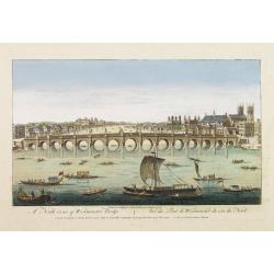
A North viewe of Westminster Bridge.
So-called optical print illustrating a North view of Westminster Bridge with vessels on the River Thames.In the eighteenth and nineteenth centuries there were many popula...
Date: London 1751
Selling price: ????
Please login to see price!
Sold
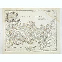
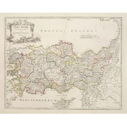
Asia Minor in suas partes seu provincias divisa..
Detailed map of Cyprus, Asia Minor and contiguous Islands and the Black Sea region.
Date: Paris 1751
Selling price: ????
Please login to see price!
Sold
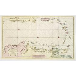
Nieuwe en.. West Indien .. Rio Oronoque tot ..Porto Rico..
A highly detailed and rare chart of the coast of Columbia, Venezuela and its islands, Bonaire, Curaçao, Aruba, and several Caribbean Islands, Puerto Rico, Southern coast...
Date: Amsterdam 1751
Selling price: ????
Please login to see price!
Sold
Les Ports de, Lisbonne [. . .] Le Detroit de Gibraltar...Cadis
A finely engraved two section map of the Lisbon coast / Setubal area of Portugal and Cadiz / Straights of Gibraltar in Spain. The work contains two elaborate cartouches a...
Date: Paris, ca. 1751
Selling price: ????
Please login to see price!
Sold in 2008
L'Empire de la Chine ...
Detailed map of China, Korea and Taiwan. Decorative cartouche lower right.
Date: Paris, 1751
Selling price: ????
Please login to see price!
Sold in 2011
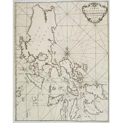
Carte du Canal des Iles Philippines. . . Page 88.
Important large-scale map of the northern Philippines, from Luzon to Negros, featuring the track of the Manila Galleon on its yearly treasure voyage from Manila to Mexico...
Date: Amsterdam, 1751
Selling price: ????
Please login to see price!
Sold in 2008
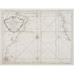
Carte de l'Ocean Meridional. . .
Map of the southern Atlantic Ocean including South America and South African coastlines. From "Voyage Autour du Monde, Fait dans les Années MDCCXL, I, II, III, IV. ...
Date: Amsterdam, 1751
Selling price: ????
Please login to see price!
Sold in 2008
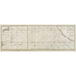
Carte de la Mer du Sud ou Mer Pacifique / Kaart van de ZUYD - ZEE of STILLE OCEAAN. . .
Map of the Pacific Ocean from the Northern Marianas Islands to the Californian and Mexican coastline. Important large-scale map of the Pacific Ocean. From \"Voyage A...
Date: Amsterdam, 1751
Selling price: ????
Please login to see price!
Sold in 2009
Carte de L\'Asie dressée sur les Relations les plus nouvelles principalement..
Detailed map of Asia from the Atlas Universel , first published in 1755. The map is detailed, precisely engraved and not given to the fanciful cartography being promoted ...
Date: Paris, 1751
Selling price: ????
Please login to see price!
Sold in 2010
L'Europe divisée en ses principaux Etats?
A detailed map from the Atlas Universel. The map is precisely engraved and not given to the fanciful cartography being promoted by many of the other contemporary French t...
Date: Paris, 1751
Selling price: ????
Please login to see price!
Sold in 2009
Instructie Ende Ordre op het houden van de scheeps-soldy en guarnisoens-boeken...
Contains instructions and orders concerning bookkeeping of the ship's pay and the monthly payments, testaments loans, etc., of V.O.C. employees. It is based on a Resoluti...
Date: Amsterdam, 1751
Selling price: ????
Please login to see price!
Sold
L'ASIE divisée en ses principaux ETATS par le Sr. Janvier, G
This fine map presents a fairly accurate and modern outline of Asia. The Bering Straits are identified as Detroit du Nord ou d'Anian.The map is of interest for the use of...
Date: Paris, 1751
Selling price: ????
Please login to see price!
Sold in 2010
A Plan of Madras and Fort St. George, Taken by the French, Commanded by Monsieur Martre de la Bourdonnais. / Plan de Madras et du Fort St. Georges, pris parles Francois, Commandes par Mr. Matre de la Bourdonnais
A very rare plan of Madras during the Carnatic WarsThis copper engraved plan of Madra in India was published by John Rocque in 1751 and engraved by one of his employees R...
Date: London, 1751
Selling price: ????
Please login to see price!
Sold in 2010
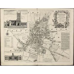
A Plan of Wolverhampton Surveyed in MDCCL By Isaac Taylor and Engraved by Thomas Jefferys Geographer to His Royal Highness the Prince of Wales
Important and rare plan of Wolverhampton by T. JefferysA large and detailed copper engraved plan of Wolverhampton, engraved and published by Thomas Jefferys in 1751 after...
Date: London, 1751
Selling price: ????
Please login to see price!
Sold in 2010
Nieuwe Afteekening van het Eijland Curaçao. . .
Decorative and extremely rare chart of Curaçao with several coastal insets and an inset of Fort Amsterdam and the Bay of St.Anna (127x135mm.)Besides the island of Curaca...
Date: Amsterdam, 1751
Selling price: ????
Please login to see price!
Sold in 2010
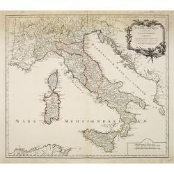
Italia antiqua cum insulius Sicilia, Sardinia et Corsica. . .
Map of Italy, including the islands of Corsica, Sardinia and Sicilia. Published by Robert Vaugondy (son 1723-1886) after a map by Nicolas Sanson.Map shows the ancient div...
Date: Paris, c.1751
Selling price: ????
Please login to see price!
Sold in 2010
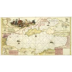
Nieuwe Paskaart van de gehele Swarte Zee Beginnende van Constantinopolen tot Azak opgestelt door G: van Keulen. . .
A highly detailed and rare chart of the Black Sea.A large title cartouche upper left, and a dedication to Peter Alexeowits (the Great).
Date: Amsterdam, 1751
Selling price: ????
Please login to see price!
Sold in 2010
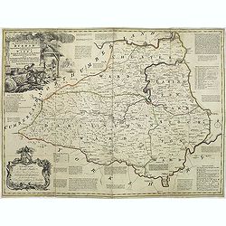
An accurate map of the county Palatine of Durham. . .
Scarce pre-atlas issue of 'The Large English Atlas' map of County Durham, published by John Hinton in 1751. Decorative cartouche around the title. Important and influenti...
Date: London, 1751
Selling price: ????
Please login to see price!
Sold in 2017
Pensylvania, Nova Jersey et Nova York..
Pre-Revolutionary War era map based on Lewis Evans’ map of 1749 and one of the few maps to concentrate on this area and one of the most bizarre maps of North America ev...
Date: Augsburg, c.1751
Selling price: ????
Please login to see price!
Sold in 2011
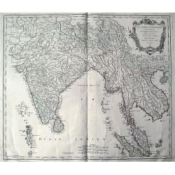
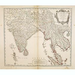
Les Indes Orientales ou sont distingues les Empires et Royaumes quelles contiennent, tirees du Neptune Oriental.
An early edition of Robert de Vaugondy's map from his Atlas Universel. Reaches from Pakistan (with Candahar and Caboul) to Sumatra and Singapore. Includes India, the Male...
Date: Paris, 1751
Selling price: ????
Please login to see price!
Sold in 2011
Asia Minor in suas partes seu provincias divisa. . .
Detailed map of Ancient Turkey with Cyprus from his "Atlas Universel".Gilles Robert de Vaugondy (1688–1766), also known as Le Sieur or Monsieur Robert, and hi...
Date: Paris, 1751
Selling price: ????
Please login to see price!
Sold in 2012
Pays-Bas Catholiques . . .
Detailled map of Belgium from his "Atlas Universel".Gilles Robert de Vaugondy (1688–1766), also known as Le Sieur or Monsieur Robert, and his son, Didier Robe...
Date: Paris, 1751
Selling price: ????
Please login to see price!
Sold in 2011
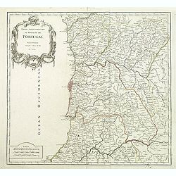
Partie Septentrionale du Royaume de Portugal.
Detailed map encompassing the whole northern half of Portugal from his "Atlas Universel".Gilles Robert de Vaugondy (1688–1766), also known as Le Sieur or Mons...
Date: Paris, 1751
Selling price: ????
Please login to see price!
Sold in 2011
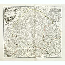
Le Royaume de Hongrie.
Detailed map of Hungary. Including kingdom of Croatia, Bosnia, Serbia and Bulgaria from his "Atlas Universel".Gilles Robert de Vaugondy (1688–1766), also know...
Date: Paris, 1751
Selling price: ????
Please login to see price!
Sold in 2020
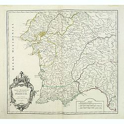
Partie Meridionale du Royaume de Portugal.
Detailed map encompassing the whole southern half of Portugal from his "Atlas Universel".Gilles Robert de Vaugondy (1688–1766), also known as Le Sieur or Mons...
Date: Paris, 1751
Selling price: ????
Please login to see price!
Sold in 2011
Charta öfwer Stockholms Stads Belägenhet.
A scarce town-plan of Stockholm. The map was engraved by Georg Biurmans himself and covers a large area around Stockholm including Drottningholm Palace in the west and in...
Date: Stockholm, c.1751
Selling price: ????
Please login to see price!
Sold in 2012
Charta öfwer Stockholm med des malmar och förstäder af Hans Konge Majt. til strandernes anlaggning i nader faststäld den 1. julii 1751.
A scarce town-plan of Stockholm. The map was engraved by Georg Biurmans himself and covers a large area around Stockholm. The major roads are carefully recorded. A large ...
Date: Stockholm, c.1751
Selling price: ????
Please login to see price!
Sold in 2012
L'Empire de la Chine..
Detailed map of China, Korea and Taiwan. Decorative cartouche lower right showing natives.
Date: Paris, 1751
Selling price: ????
Please login to see price!
Sold in 2012
Pensylvania, Nova Jersey et Nova York..
Pre-Revolutionary War era map based on Lewis Evans’ map of 1749 and one of the few maps to concentrate on this area and one of the most bizarre maps of North America ev...
Date: Augsburg, c.1751
Selling price: ????
Please login to see price!
Sold in 2019
Les Indes Orientales, ou sount distingues les Empires et Royaumes..
Interesting regional map extending from India, the Ganges and the Maldive Islands to Hai-nan, Cochinchina, Malacca and Sumatra. Includes islands, "Sinca poura" ...
Date: Paris, 1751
Selling price: ????
Please login to see price!
Sold
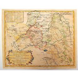
Galliae Christianae Belgica Secunda Provinciae Ecclesiasticae Remensis
Nicely detailed copper engraved map covering the southwestern part of France. This map depicts the cities of Amiens, Senlis, Laon, Beauvais and Saint-Omer. Details includ...
Date: Paris, 1751
Selling price: ????
Please login to see price!
Sold in 2014
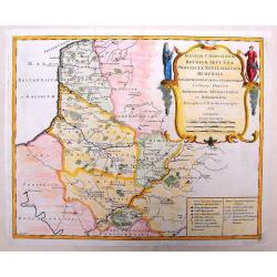
Galliae Christianae Belgicae Secundae Ecclesiasticae Provinciae Remensis
Very large, decorative title cartouche on an interesting Nolin map of Reims, Amiens & Senlis France. Engraved on copper plates by Dussy.J. B. Nolin 1657-1708)set up h...
Date: Paris, 1751
Selling price: ????
Please login to see price!
Sold in 2014
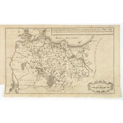
Carte generale des Villes et des Bailliages de la Prusse avec une partie de la Pologne et de la Vistule depuis Fantzig jusque à Warsovie.
Scarce map of northern part of Poland, including Gdansk and Warschaw. Engraved by Jacobus van der Schley (1715 - 1779).From "Memoires Pour Servir A L'Histoire De La ...
Date: The Hague, Berlin, Jean Neaulme, 1751
Selling price: ????
Please login to see price!
Sold in 2013
Hand colored Copper Engraving of Two Fancy Sideboards (Untitled).
Fine copper engraving of two very fancy sideboards. From "Oevres D'Architecture de Jean Le Pautre" published by Jobert. Jean le Pautre (1618 – 1682) was a F...
Date: Paris, 1751
Selling price: ????
Please login to see price!
Sold in 2015
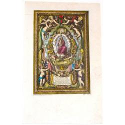
Madonna & Child.
Fine copper engraving of an ultra decorative "Madonna & Child" painting with engraved frame entitiled "Inventions for making Plates". From "O...
Date: Paris, 1751
Selling price: ????
Please login to see price!
Sold in 2014
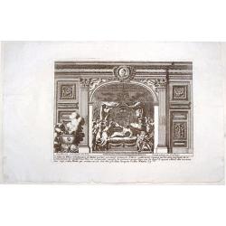
Les Filles de Pelias.
This fine copper engraving by Le Pautre features the daughters of Pelias turning on him and trying to kill him.From "Oeuvres d'Architecture de Jean Le Pautre" b...
Date: Paris, Mariette, 1751
Selling price: ????
Please login to see price!
Sold in 2015
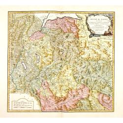
Duche de Savoye qui comprend le Chablais, le Fossigny, le Genevois, la Savoye Propre, la Tarentaise et la Maurienne, dresse d'apres la Grande Carte de Piemont de Tomaso Borgomo (i.e., Borgonio) et autres. . .
Finely and crisply engraved map of Savoy prepared by Robert de Vaugondy's map, from "Atlas Universel".Large decorative title cartouche in the upper right corner...
Date: Venice, ca.,1751
Selling price: ????
Please login to see price!
Sold
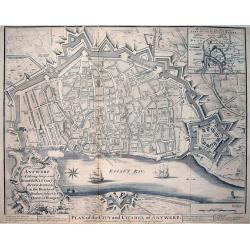
Antwerp A strong, large, and Beautiful City on ye River Scheld, in the Dutchy of Brabant, subject to ye Queen of Hungary / Plan of the City and Citadel of Antwerp
A large and very detailed plan of Antwerp with its forts. Shows numerous buildings and street names! Published in "Mr Tindal's Continuation of Mr Rapin's History of ...
Date: London, 1751
Selling price: ????
Please login to see price!
Sold in 2013
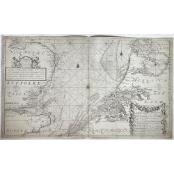
Nieuwe paskaart van het zuyderste gedeelte der Noord-Zee strekkende van Texel tot aande Hoofden...
Fine chart of the North Sea with the coasts of Belgium, Netherlands and South East England. Decorated with soundings, compass card, ship. Full title in a cartouche at bot...
Date: Amsterdam, 1728-1751
Selling price: ????
Please login to see price!
Sold in 2021
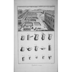
(Complete 15 Plate set) Fayancerie.
Complete 15 Plate set ‘Fayancerie’ Contenant Douze Planches Diderot's ‘Encyclopede du Duictionarnaire Raisonn des Sciences’. Original copper engraving drawn by L...
Date: Paris, 1751
Selling price: ????
Please login to see price!
Sold in 2014
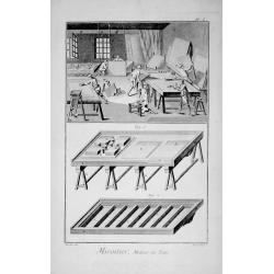
(Complete 9 Plate set) Miroitier Metteur au Teint.
Complete 9 Plate set ‘Miroitier Metteur au Teint’ ‘Encyclopede du Duictionarnaire Raisonn des Sciences’.Original copper engraving drawn by Lucotte & others, ...
Date: Paris, 1751
Selling price: ????
Please login to see price!
Sold in 2015
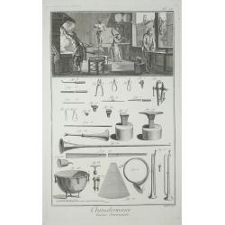
(Complete 5 Plate set) Chaudronnier.
Complete 5 Plate set Chaudronnier ‘Encyclopede du Duictionarnaire Raisonn des Sciences’.Original copper engraving drawn by Dasgerantins & others, engraved by Prev...
Date: Paris 1751
Selling price: ????
Please login to see price!
Sold in 2015
(Complete 9 Plate set of silk dryeing.) Teinturier.
Complete 9 Plate set ‘Teinturier’ from, Diderot's ‘Encyclopede du Duictionarnaire Raisonn des Sciences’ Edited by Denis Diderot. Original copper engraving drawn b...
Date: Paris, 1751
Selling price: ????
Please login to see price!
Sold in 2015
(A set of five plates about optical lens making.) Lunettier.
A set of five plates Lunettier (optical lens maker). From, Diderot's ‘Encyclopede du Duictionarnaire Raisonn des Sciences’.Edited by Denis Diderot.Collection of Plate...
Date: Paris, 1751
Selling price: ????
Please login to see price!
Sold in 2015
(A set of seven plates about button making in many forms) Boutonnier.
A set of seven plates ‘Boutonnier’ (Button making in many forms), from, Diderot's ‘Encyclopede du Duictionarnaire Raisonn des Sciences’. Edited by Denis Diderot. ...
Date: Paris 1751
Selling price: ????
Please login to see price!
Sold in 2016
Cercle de Westphalie, divisé en tous ses etats et souverainetés.
Detailed map of the northwestern part of Germany, centered on M¨nster.
Date: Paris, 1751
Selling price: ????
Please login to see price!
Sold in 2014
Partie méridionale du cercle de Haute Saxe. . .
Detailed map of part of Germany, centered on Leipzig.
Date: Paris, 1751
Selling price: ????
Please login to see price!
Sold in 2014
Partie méridionale du cercle de Haute Saxe. . .
Highly detailed regional map from De Vaugondy's Atlas Universel.
Date: Paris, 1751
Selling price: ????
Please login to see price!
Sold in 2014
Carte de la République des Suisses. . .
Detailed map of Switzerland from De Vaugondy's Atlas Universel.
Date: Paris, 1751
Selling price: ????
Please login to see price!
Sold in 2014
Gouvernement General de Bretagne divife dioceses ou recceptes.
An attractive map of Brittany that extends to the island of Belle-Île, just off of the Quiberon Peninsula. The map shows the divisions of the dioceses and is filled with...
Date: Paris, 1751
Selling price: ????
Please login to see price!
Sold in 2016
Italia antiqua cum insulius Sicilia, Sardinia et Corsica. . .
Map of Italy, including the islands of Corsica, Sardinia and Sicilia. Published by Robert Vaugondy (son 1723-1886) after a map by Nicolas Sanson. Map shows the ancient di...
Date: Paris, c.1751
Selling price: ????
Please login to see price!
Sold in 2014
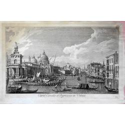
Caput Canalis et ingressus in urbem. . .
From "Urbis Venetiarum prospectus celebriores ex Antonii Canal tabulis XXXVIII. Aere expressi ab Antonio Visentini in partes tres distributi. Pars prima", this ...
Date: Venece, 1751
Selling price: ????
Please login to see price!
Sold in 2018
![[Lot of 14 maps] Carte Generale de la Coste de la Guinée. Plus a map of the Gulf of Guinea on 2 sheets by Rigobert Bonne and 6 other maps of the Gulf of Guinea](/uploads/cache/18246-250x250.jpg)
![[Lot of 4 maps] Afbeeldinge der Oostersche Landen. / van ' T Land Kanaan.](/uploads/cache/100146-250x250.jpg)
![[Lot of 10 maps and prints of Birma, Thailand and Malaysia.]](/uploads/cache/20085-(4)-250x250.jpg)
![[9 maps of Peru and Chili]](/uploads/cache/20641-(1)-250x250.jpg)
![[lot of 5 maps/prints map of South America] Chili. Paraguay, Brésil, Amazones, et Pérou.](/uploads/cache/19976-(2)-250x250.jpg)
![[Portrait of Petrus Bertius.]](/uploads/cache/48311-250x250.jpg)
![[Lot of 22 maps / prints] Kaart van Mexico en Nieuw Granada in de Spaansche West-Indien.](/uploads/cache/20690-(3)-250x250.jpg)
![[Lot of 7 map / prints of Madagascar] Parte de la Cote Orientale d' Afrique avec l' Isle de Madagascar et les Cartes particulières des Isles de France et de Bourbon.](/uploads/cache/18022-(1)-250x250.jpg)

![Les Ports de, Lisbonne [. . .] Le Detroit de Gibraltar...Cadis](/uploads/cache/90434-250x250.jpg)
