Browse Listings
[No title] Gravenhage.
A very decorative panoramic view of the town, with detailed keys to the principal buildings and roads of the town.With dedication to Willem Carel Henderik Friso.Engraved ...
Date: The Hague 1747
Selling price: ????
Please login to see price!
Sold
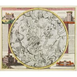
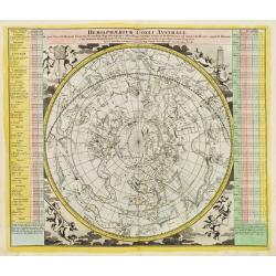
Hemisphaerium Coeli Australe
Magnificent celestial chart drawn by the famous scientist Johann Gabriel Doppelmayer. Large circular charts of the southern hemisphere constellation, with decorative vign...
Date: Nuremberg 1747
Selling price: ????
Please login to see price!
Sold
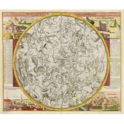
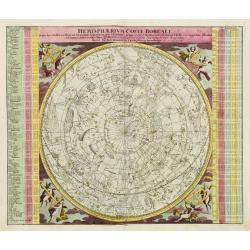
Hemisphaerium Coeli Boreale..
A magnificent celestial charts drawn by the famous scientist Johann Gabriel Doppelmayer. Large circular chart of the northern hemisphere constellations, with decorative v...
Date: Nuremberg 1747
Selling price: ????
Please login to see price!
Sold
Die versinsterte Erdkugel.. Der sonnen od. Erd-finsternisden 25ten Jilli 1748.
A charming print showing a Sun disappearance calculated for July 25th 1748. With 3 hemisphere projections of Europe, Asia and Africa.Uncommon, with text in German, French...
Date: Nuremberg 1747
Selling price: ????
Please login to see price!
Sold
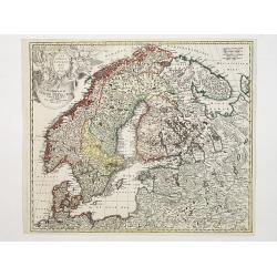
Scandinavia complectens Sueciae, Daniae & Norvegia..
Johann Baptist Homann's well-engraved map has a large decorative cartouche. Detailed map of Scandinavia.Johann Baptist Homann (1663-1724) was a German engraver and publis...
Date: Nuremberg 1747
Selling price: ????
Please login to see price!
Sold
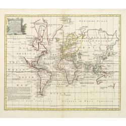
A new & accurate chart of the world drawn from authentic..
Shows the world on Mercator's projection. The boundaries of both Australia and New Zealand are not yet completely defined. The northwest coast of North America and the su...
Date: London, 1747
Selling price: ????
Please login to see price!
Sold
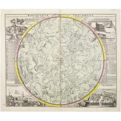
Hemisphaerium Coeli Boreale in quo Fixarum..
A magnificent celestial charts drawn by the famous scientist Johann Gabriel Doppelmayer. Large circular chart of the northern hemisphere constellations, with decorative v...
Date: Nuremberg 1747
Selling price: ????
Please login to see price!
Sold
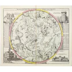
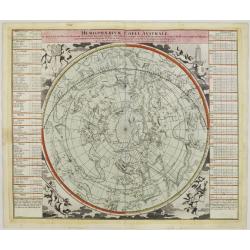
Hemisphaerium Coeli Australe in quo Fixarum..
Magnificent celestial chart drawn by the famous scientist Johann Gabriel Doppelmayer.Large circular charts of the southern hemisphere constellation, with decorative vigne...
Date: Nuremberg, 1747
Selling price: ????
Please login to see price!
Sold
Hemisphaerium Coeli Australe in quo loca Stellarum..
Magnificent celestial chart drawn by the famous scientist Johann Gabriel Doppelmayer.Large circular charts of the southern hemisphere constellation, with decorative vigne...
Date: Nuremberg 1747
Selling price: ????
Please login to see price!
Sold
Hemisphaerium Coeli Boreale in quo loca Stellarum..
Magnificent celestial chart drawn by the famous scientist Johann Gabriel Doppelmayer.Large circular charts of the northern hemisphere constellation, with decorative vigne...
Date: Nuremberg 1747
Selling price: ????
Please login to see price!
Sold
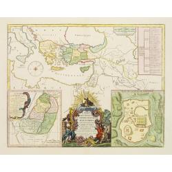
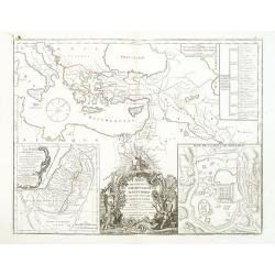
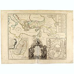
Carte des voyages de Notre seigneur Jesus Christ..
Showing eastern part of the Mediterranean, including Cyprus, Italy. Lower right hand corner inset plan of Jerusalem. Lower left map of Palestine. Published by Vaugondy, a...
Date: Paris, 1747
Selling price: ????
Please login to see price!
Sold in 2009
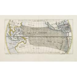
Répresentation du Cours ordinaire des Vents de Traverse qui regnent sur les Côtes dans la grande Mer Du Sud.
Sea chart of tides wind currents, centred on the equatorial regions of the South Pacific, from South America to Indochina. Published by Bellin in the Histoire Generale de...
Date: Paris, 1747
Selling price: ????
Please login to see price!
Sold
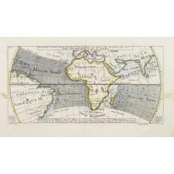
Representation du Cours ordinaire des Vents de Traverse qui regnent le long des Côtes dans la Mer Atlantique & celle des Indes.
A relatively early scientific map of the winds relating to the Atlantic and Indian oceans.Eight islands are named in the bottom margins which correspond to their location...
Date: Paris 1747
Selling price: ????
Please login to see price!
Sold
Hemisphaerium Coeli Australe in quo loca Stellarum..
Magnificent celestial chart drawn by the famous scientist Johann Gabriel Doppelmayr.Large circular charts of the southern hemisphere constellation, with decorative vignet...
Date: Nuremberg, 1747
Selling price: ????
Please login to see price!
Sold
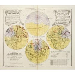
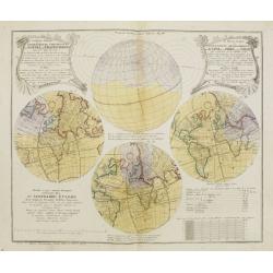
Le Monde Eclipsé ou.. Eclipse de la Terre ou du Soleil.. Premiere feuille.
Showing four hemispheric world maps showing the predicted eclipse of 1748, based upon the calculations of the important 18th Century Swiss mathematician and astronomer Le...
Date: Nuremberg, 1747
Selling price: ????
Please login to see price!
Sold
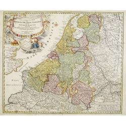
Provinciae XVII Infer Germaniae. . .
A decorative map with colored cartouche surrounded by the coats of arms of Brabant, Limburg, Luxembourg, Geldern, Holland, Zeeland, Zutphen, Flandria, Flanders, Artois, H...
Date: Nurember, 1747
Selling price: ????
Please login to see price!
Sold in 2008
Hemisphaerium Coeli Australe [together with] . . . Coeli Boreale . . .
Magnificent set of celestial charts drawn by the famous scientist Johann Gabriel Doppelmayr. Large circular charts of the southern hemisphere constellation, with decorati...
Date: Nuremberg 1747
Selling price: ????
Please login to see price!
Sold in 2013
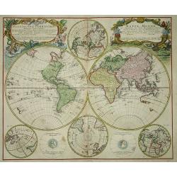
Planiglobii Terrestris. . .
Johann Baptist Homann's well-engraved double hemisphere world map has large decorative cartouches.Johann Baptist Homann (1663-1724) was a German engraver and publisher, w...
Date: Nuremberg, 1747
Selling price: ????
Please login to see price!
Sold in 2009
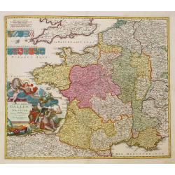
Totius Galliae sive Franciae tabula..
Johann Baptist Homann's well-engraved map of France has a large decorative cartouche and 12 coats of arms of different provinces. Detailed map centred on Venice. Johann B...
Date: Nuremberg, 1747
Selling price: ????
Please login to see price!
Sold
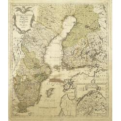
Svea och Göta Riken med Finland och Norland : afritade i Stockholm år 1747
A detailed and rare map of Sweden and Finland, published in Stockholm, 1747. In lower right a cartouche with the north of Norway.Engraved by George Biurman (1700-1755), w...
Date: Stockholm, 1747
Selling price: ????
Please login to see price!
Sold in 2010
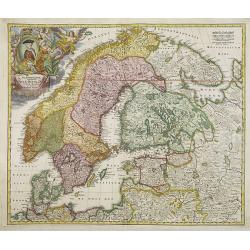
Scandinavia complectens Sueciae, Daniae & Norvegia. . .
Johann Baptist Homann's well-engraved map has a large decorative cartouche. Detailed map of Scandinavia.Johann Baptist Homann (1663-1724) was a German engraver and publis...
Date: Nuremberg, 1747
Selling price: ????
Please login to see price!
Sold in 2011
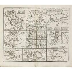
Particular Draughts and Plans of Some of the Principal Towns and Harbours Belonging to the English, French, and Spaniards, in America and West Indies
An unusual copper engraving by E. Bowen from 'A Complete System of Geography'. Featuring 13 small maps of colonial towns and sea ports of North America and the West Indie...
Date: London, 1747
Selling price: ????
Please login to see price!
Sold in 2010
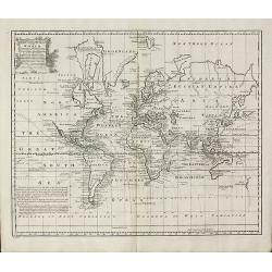
A New & Accurate Chart of the World
World map by Emanuel Bowen from 'A Complete System of Geography'. Showing the world in Mercator projection with isogonic lines. With one cartouche. New Zealand is largely...
Date: London, 1747
Selling price: ????
Please login to see price!
Sold in 2010
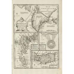
A Map of Old Greenland or Oster Bygd & Wester Bygd ... An Improved Map of Iceland ... A Map of the Islands of Ferro ... A Draught of the Whirlpool on the South East of Sumbo Rocks
An unusual copper engraving by E. Bowen from 'A Complete System of Geography'. Featuring 4 small maps of the North Atlantic Islands Greenland, Iceland and Faroe. A curios...
Date: London, 1747
Selling price: ????
Please login to see price!
Sold in 2011
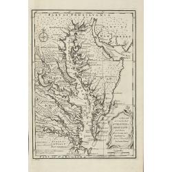
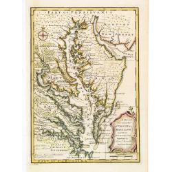
A New and Accurate Map of Virginia & Maryland. Laid Down from Surveys and Regulated by Astronl. Observatns
Scarce map of the Chesapeake region by Bowen from 'A Complete System of Geography'. Based on Hermann's map of 1673 and Popple's map of 1733. Showing numerous early towns ...
Date: London, 1747
Selling price: ????
Please login to see price!
Sold in 2010
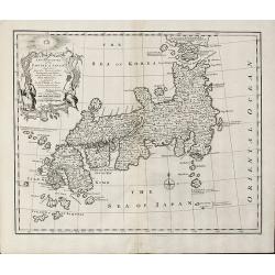
A New and Accurate Map of the Empire of Japan Laid down from the Memoirs of the Portuguese and Dutch and ... the Jesuit Missionaries
Bowen's map of Japan from 'A Complete System of Geography'. With an elaborate allegorical cartouche and a compass rose. The way in which the area to the north of Honshu i...
Date: London, 1747
Selling price: ????
Please login to see price!
Sold in 2011
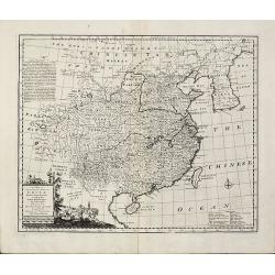
A New & Accurate Map of China. Drawn from Surveys made by the Jesuit Missionaries, by Order of the Emperor
Bowen's map of China from 'A Complete System of Geography'. With an elaborate allegorical cartouche and a compass rose. Includes Korea and Formosa and advertising notes a...
Date: London, 1747
Selling price: ????
Please login to see price!
Sold in 2010
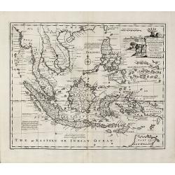
A New and Accurate Map of the East India Islands
Bowen's map of Southeast Asia from 'A Complete System of Geography'. With an elaborate allegorical cartouche and a compass rose. Includes the Philippines and part of Aust...
Date: London, 1747
Selling price: ????
Please login to see price!
Sold in 2010
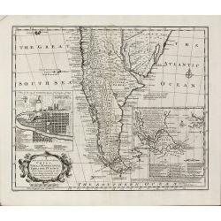
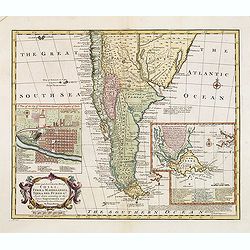
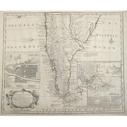
A New and Accurate Map of Chili, Terra Magellanica, Terra del Fuego &c
Bowen's map of the southern part of South America from 'A Complete System of Geography'. With one title cartouche and a compass rose. With two inset maps, one of Santiago...
Date: London, 1747
Selling price: ????
Please login to see price!
Sold in 2010
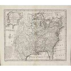
A New & Accurate Map of Louisiana, with Part of Florida and Canada, and the Adjacent Countries
Remarkable map of the British, Spanish & French Colonies in North America on the eve of the French & Indian War by E. Bowen from 'A Complete System of Geography'....
Date: London, 1747
Selling price: ????
Please login to see price!
Sold in 2011
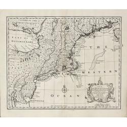
A New and Accurate Map of New Jersey, Pensilvania, New York and New England with the Adjacent Countries
A scarce map of New Jersey, New York, Pennsylvania, Maine, New Hampshire and Connecticut by E. Bowen from 'A Complete System of Geography'. Covering the area from the Che...
Date: London, 1747
Selling price: ????
Please login to see price!
Sold in 2011
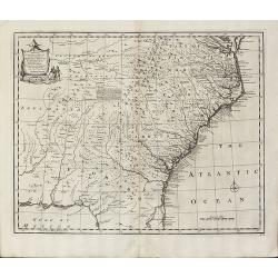
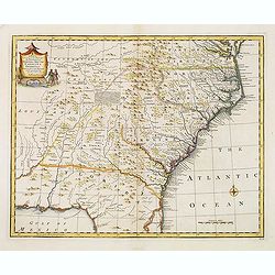
A New & Accurate Map of the Provinces of North & South Carolina Georgia &c
Bowen's map of the Carolinas and Georgia from 'A Complete System of Geography'. Showing the area from the mouth of the Chesapeake Bay to St. Augustine and from Louisiana ...
Date: London, 1747
Selling price: ????
Please login to see price!
Sold in 2012
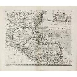
An Accurate Map of the West Indies
Bowen's map of the West Indies from 'A Complete System of Geography'. Showing the area from Long Island in the north to the delta of the Orinoco in the south. Decorated w...
Date: London, 1747
Selling price: ????
Please login to see price!
Sold in 2011
Carte des voyages de Notre seigneur Jesus Christ. . .
Showing eastern part of the Mediterranean, including Cyprus, Italy. Lower right hand corner inset plan of Jerusalem. Lower left map of Palestine. Published by Vaugondy, a...
Date: Paris, 1747
Selling price: ????
Please login to see price!
Sold in 2011
A New and Accurate Map of Savoy, Piemont, and Montferrat Exhibiting the Present Seat of War. . .
An attractive map of the Savoy and Montferrat regions of southeastern France and the northern Italian region of Piedmont on the Mediterranean Sea coast by Emmanuel Bowen...
Date: London, 1747
Selling price: ????
Please login to see price!
Sold in 2010
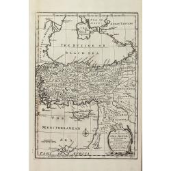
An Accurate Map of Asia Minor, as Divided into its Provinces, before it became Possess'd by the Turks
Engraved map of Turkey by Bowen from 'A Complete System of Geography'. Showing Asia Minor with the Black-sea region and the eastern part of the Mediterranean sea with Cyp...
Date: London, 1747
Selling price: ????
Please login to see price!
Sold in 2013
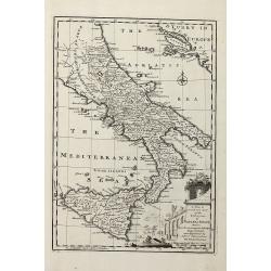
A New & Accurate Map of the Kingdoms of Naples & Sicily
Decorative engraved map of South Italy by Bowen from 'A Complete System of Geography'. Showing the southern part of Italy with Sicily. With one decorative cartouche, a co...
Date: London, 1747
Selling price: ????
Please login to see price!
Sold in 2011
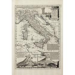
A New and Accurate Map of Italy Drawn from the Latest and Best Authorities, and Regulated by the Most Approved Astronl. Observations
Decorative engraved map of Italy by Bowen from 'A Complete System of Geography'. Below with to inset views of Mount Vesuvius eruptions. With one decorative cartouche, a c...
Date: London, 1747
Selling price: ????
Please login to see price!
Sold in 2013
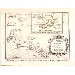
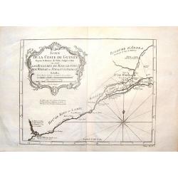
Partie de la Coste de Guinee Depuis le Cap de Monte Jusqu'au Cap des Basses.
Fine little map engraved by Schley featuring the coast of Guinee in Western Africa. The insert is of the Sestos River. Pleasing floral, title cartouche. The map was publi...
Date: Paris, 1747
Selling price: ????
Please login to see price!
Sold in 2015
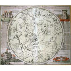
Hemisphaerium Coeli Australe...
Magnificent map of the southern hemisphere constellation for 1730, with celestial monsters and zodiac signs. With tables on the side giving information on the constellati...
Date: Nuremberg, 1747
Selling price: ????
Please login to see price!
Sold in 2011
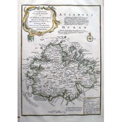
A New and Accurate Map of the Island of Antigua or Antego...
Highly attractive map of Antigua. Very detailed map with many place names, streets, etc. With text describing the island and a legend explaining symbols to churches, for...
Date: London, 1747
Selling price: ????
Please login to see price!
Sold in 2012
Charta öfwer Södermanland Med Kongl. Maj.ts. Nådigste privilegio utgifven af Kong:e Landtmäteri Contoiret.
A scarce map of the district of Södermanland, including Stockholm in Sweden. A large title cartouche upper right and a key in the upper left corner. The map is a part of...
Date: Stockholm, c.1747
Selling price: ????
Please login to see price!
Sold in 2012
A new and accurate map of New Jersey, Pensilvania, New York and New England with the Adjacent Countries. . .
A scarce map of New Jersey, New York, Pennsylvania, Maine, New Hampshire and Connecticut. Canada extends south to the Pennsylvania border. Published by E. Bowen from &quo...
Date: London, 1747
Selling price: ????
Please login to see price!
Sold in 2018
Theoria Satellitum Iovis et Saturni...
Magnificent chart of the satellite systems of Jupiter and Saturn compared with the Earth-Moon system according to the observations of Giovanni Domenico Cassini in Bologna...
Date: Nuremberg, 1747
Selling price: ????
Please login to see price!
Sold in 2012
Kaartje Van TKeizer-Ryk China... [two maps]
Two rare maps based on the work of De L'Isle, one of the Empire of China and a second of Chinese Tartary, including Korea and an oversized Hokkaido.
Date: Deventer, 1747
Selling price: ????
Please login to see price!
Sold in 2012
A Map of China, Japan, Tonquin, Cochin-China and Siam.
Uncommon map of South East Asia engraved by R.W. Seale.
Date: London, c. 1747
Selling price: ????
Please login to see price!
Sold in 2012
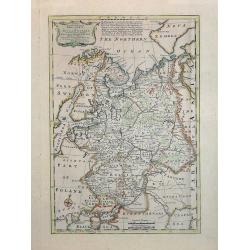
A New & Accurate map of MOSCOVY or Russia in Europe with its Aquisitions. . .
Decorative 1747 copper engraved map of Russia by Emanuel Bowen from "A Complete System of Geography". Showing the region from northern part of Norway to the Bla...
Date: London, 1747
Selling price: ????
Please login to see price!
Sold in 2013
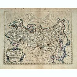
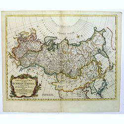
A New and Accurate Map of the Whole Russian Empire as contained both in Europe and Asia. . .
Detailed map of Russia, from the Sea of Anadyr, Sea of Kamchatka and the Kuril Islands to Poland. In the NW Coast of America references to Tschirikov's contact with Alask...
Date: London, c. 1747
Selling price: ????
Please login to see price!
Sold in 2013
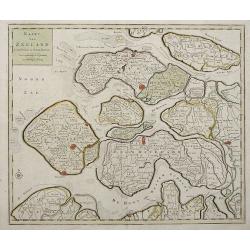
Kaart Van Zeeland.
Interesting map of the Dutch province of Zeeland depicting the individual islands in good detail. The fortified cities are highlighted in red.
Date: Amsterdam, 1747
Selling price: ????
Please login to see price!
Sold in 2013
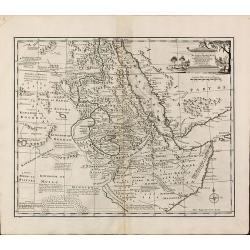
A New and Accurate Map of Nubia & Abissinia, Together with All the Kingdoms Tributary there...
Showing the area from lower Egypt, through Sudan and Ethiopia and down to Somalia. The map also includes the Red Sea and what is now Yemen and South Arabia. Blank on vers...
Date: London, 1747
Selling price: ????
Please login to see price!
Sold in 2013
A New and Accurate Map of Virginia & Maryland. Laid Down from Surveys and Regulated by Astronl. Observatns
Uncommon map of the Chesapeake region, including only a thin strip of southern Pennsylvania, which is named but with nothing identified. Published by Bowen from 'A Comple...
Date: London, c.1747
Selling price: ????
Please login to see price!
Sold in 2016
A new & accurate map of.. North & South Carolina, Georgia &c. c. Drawn from late Surveys and regulated by Astron.
An excellent early engraving of the American Southeast from the mouth of the Chesapeake to Northern Florida. Georgia occupies a very small area next to a large Florida. N...
Date: London, 1747
Selling price: ????
Please login to see price!
Sold in 2015
A New and Accurate Map of Chili, Terra Magellanica, Terra del Fuego &c. . .
Bowen's map of the southern part of South America from 'A Complete System of Geography'. With one title cartouche and a compass rose. With two inset maps, one of Santiago...
Date: London, 1747
Selling price: ????
Please login to see price!
Sold in 2016
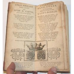
Atlas Portatif.
Small hand atlas of the world with 33 of 34 maps. Map nr. 4 (De Nieuwe en Ouden Oppervlakke en Doorzigtkundige Aardryks Bollen) is missing. The title page and register ar...
Date: Almelo, 1747
Selling price: ????
Please login to see price!
Sold in 2013
A new and accurate map of Chili, Terra Magellanica, Terra del Fuego &c. Laid down according to the latest improvements and regulated by astronl. observatns. By Eman: Bowen.
Full Title as it appears on the map, A new and accurate map of Chili, Terra Magellanica, Terra del Fuego &c. Laid down according to the latest improvements and regula...
Date: London, 1747
Selling price: ????
Please login to see price!
Sold in 2014
Francis Drake.
Fine hand-colored copperplate engraving featuring Francis Drake, the famous pirate. From "Heads of Illustrius Persons of Great Britain" by Thomas Birch. Engrave...
Date: London, 1747
Selling price: ????
Please login to see price!
Sold in 2013
The Industrious Apprentice Performing the Duty of a Christian.
Fine, large, copper engraved Hogarth print featuring the industrious apprentice singing in the choir. William Hogarth (1697 – 1764) was an English painter, printmake...
Date: London, 1747
Selling price: ????
Please login to see price!
Sold in 2013
The Industrious Apprentice Grown Rich & Sheriff of London.
Fine large, copper engraved, hand-colored print featuring the industrious apprentice as the Sheriff of London. William Hogarth (1697 – 1764) was an English painter, p...
Date: London, 1747
Selling price: ????
Please login to see price!
Sold in 2013
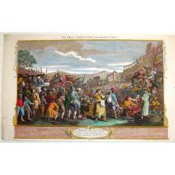
The Idle Apprentice Executed at Tyburn.
Fine, large, hand-colored copper engraving featuring a crowd gathering to watch the execution of the Idle Apprentice. William Hogarth (1697 – 1764) was an English pai...
Date: London, 1747
Selling price: ????
Please login to see price!
Sold in 2013
The Industrious Apprentice - Lord-Mayor of London.
Fine, large, hand-colored copper engraving featuring the industrious apprentice riding in a carriage in London. William Hogarth (1697 – 1764) was an English painter, ...
Date: London, 1747
Selling price: ????
Please login to see price!
Sold in 2013
The Idle Apprentice Returned From Dea & in a Garret With a Common Prostitute.
Fine, large, hand-colored, copper engraving featuring the idle apprentice with a prostitute. William Hogarth (1697 – 1764) was an English painter, printmaker, , picto...
Date: London, 1747
Selling price: ????
Please login to see price!
Sold in 2013
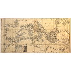
An accurate chart of the Mediterranean and Adriatic Sea. . .
An excellent early engraving of the Mediterranean and Adriatic Sea.
Date: London, 1747
Selling price: ????
Please login to see price!
Sold in 2014
Suite de la Coste de Guinnee Deouis la Riviere de Volta Jusqu'a Jakin.
Fine detailed map of the African Guinea coast, west of the Volta River. Featuring the kingdoms of Koto, de Popo, de Whidah and Ardra.Engraved by J. Schley from atlas of P...
Date: Paris, 1747
Selling price: ????
Please login to see price!
Sold in 2015
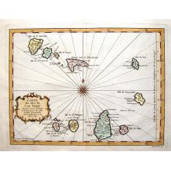
Carte des Isles du Cap Verd.
Striking map of the Cape Verde Islands off the coast of Africa. Fancy cartouche and interesting, unique compass rose.By Bellin from the Abbe Prevost d'Exiles.
Date: Paris, 1747
Selling price: ????
Please login to see price!
Sold in 2016
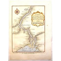
Carte du Cours de la Riviere de Tunquin.
Handsome hand colored map of the Tonkin River from Ho Chi Mingh to the Gulf of Tonkin. The map provides fine detail of the region and is embellished with a compass rose a...
Date: Paris, 1747
Selling price: ????
Please login to see price!
Sold in 2015
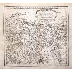
Suite de la Carte de la Siberie et le Paijs de Kamtfchatka.
A detailed map of Russia covering the coast of Siberia and Kamchatka, the island of Sakhalin and part of Tatary. Near the top is the voyage track of Semen Dezhnev who led...
Date: Paris, 1747
Selling price: ????
Please login to see price!
Sold in 2015
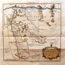
Carte du Cours des Rivieres de Faleme et Sanaga dans les Pays de Bambuc et Tamba Awra.
An interesting map of the Faleme and Sanaga Rivers in Camaroon in Africa. The map by Jacques Bellin has a decorative title cartouche.
Date: Paris, 1747
Selling price: ????
Please login to see price!
Sold in 2016
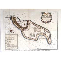
Plan de L'Isle de Gore avec ses Fortifications.
Fine plans of Isle Gore, one of the main sites from which thousands of slaves were loaded on to ships bound for the New World. Engraved by J.V. Schley in 1747. From Abbe...
Date: Paris, 1747
Selling price: ????
Please login to see price!
Sold in 2016
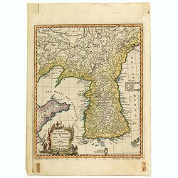
A map of Quan-Tonge province and the kingdom of Kau-Li or Korea.
Detailed map of Korea, Liaodong, and the tip of Shandong Province prepared by Thomas Kitchin for Thomas Salmon's "Universal Traveller", based on D'Anville's lan...
Date: London, 1747
Selling price: ????
Please login to see price!
Sold in 2023
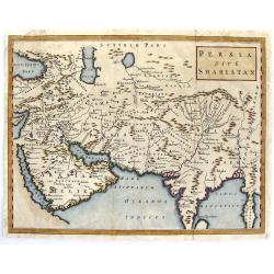
Persia Sive Shahistan.
Map of ancient western and southern Asia. The map is centered on Persia, but extends from Cyprus to east of the Ganges and as far north as the Caspian Sea. It uses the na...
Date: London, 1747
Selling price: ????
Please login to see price!
Sold in 2015
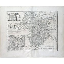
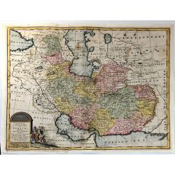
A New & accurate Map of Persia, with the Adjacent Countries.
A fine map of the Persian Empire including present day countries of Afghanistan, Iraq and Iran. Decorated with a pictorial title cartouche. Published in 1747 in Bowen’...
Date: Paris, 1747
Selling price: ????
Please login to see price!
Sold in 2015
A Map of Great Tibet drawn from that made by Lama Mathematicians in 1717.
Uncommon map of the Gobi Desert, Kashgar regions with Tibet. Drawn from indigenous sources, including the Dalai Lama's mathematicians and engraved by G. Child - with his ...
Date: London, 1745-1747
Selling price: ????
Please login to see price!
Sold in 2015
The observatory of Pe-kin from Le Comte.
Print of the observatory of Peking after Le Comte who visited the Peking Observatory in 1688. Engraved by G. Child - with his signature in lower bottom.From Astley, Thoma...
Date: London, 1745-1747
Selling price: ????
Please login to see price!
Sold in 2016
A New & Accurate Map of Spain & Portugal Drawn from the latest Surveys & most approved Maps & Charts The whole being adjusted by Astron Observations. By Emanuel Bowen
A fine Emanuel Bowen map of Spain and Portugal with two inset plans – ‘The Harbour of Port Mahon’ and ‘A Chart of the Straits of Gibraltar, with the Coast of Spai...
Date: London, 1747
Selling price: ????
Please login to see price!
Sold in 2017
Coste de Guinee Depuis le Cap Apollonia Jusqu'a la Riviere de Volta ou La Coste d'Or.
Bellin's detailed map of the Guinea coast in west Africa, from Cape Appollonia to the mouth of the Volta River in what is now Ghana (the Gold Coast), from the atlas of Pr...
Date: Paris, 1747
Selling price: ????
Please login to see price!
Sold in 2016
Carte des voyages de Notre seigneur Jesus Christ. . .
Showing eastern part of the Mediterranean, including Cyprus, Italy. Lower right hand corner inset plan of Jerusalem. Lower left map of Palestine. Published by Vaugondy, a...
Date: Paris, 1747
Selling price: ????
Please login to see price!
Sold in 2022
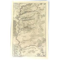
Nouveau Plan de la Bataille Donnee Pres de Hochstet ....
The Battle of Blenheim (referred to in some countries as the Second Battle of Höchstädt), fought on 13 August 1704, was a major battle of the War of the Spanish Success...
Date: Amsterdam, 1747
Selling price: ????
Please login to see price!
Sold in 2019
A New and Accurate map of the Whole Russian Empire, as contained both in Europe and Asia...
A pleasant map, by the English cartographer Thomas Kitchin, of the vast Russian Empire, as it was during the middle of the eighteenth century.The map has been colored to ...
Date: London, 1747
Selling price: ????
Please login to see price!
Sold in 2017
A Chart of the South part of Cephalonia, with the Islands of Zante and the Coast of Morea ... [on sheet with] A Chart of the South Coast of Morea from Venetica to CS. Angelo
This two part sea chart features the island of Zante and Cephanolia on the left side, and Serigo to Candia (Crete) on the right. Engraved by 'J[oel] Gas[coyne]' this plat...
Date: 1747
Selling price: ????
Please login to see price!
Sold in 2016
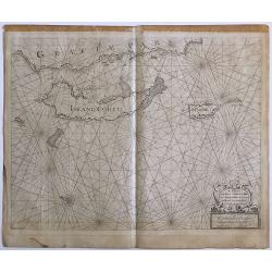
A Chart of the Islands Corfu, Pachsu and Antipachsu with ye Channel and Roads between the Island of Corfu & ye Graetian Coast
A superb rare sea chart with rhumb lines of Corfu and nearby coastlines. The main town and castle in Corfu is clearly outlined. It is engraved by 'J[oel] Gascoyne' and wa...
Date: 1747
Selling price: ????
Please login to see price!
Sold in 2016
![[No title] Gravenhage.](/uploads/cache/21302-250x250.jpg)
![Hemisphaerium Coeli Australe [together with] . . . Coeli Boreale . . .](/uploads/cache/25375-250x250.jpg)
![Kaartje Van TKeizer-Ryk China... [two maps]](/uploads/cache/92001-250x250.jpg)




![A Chart of the South part of Cephalonia, with the Islands of Zante and the Coast of Morea ... [on sheet with] A Chart of the South Coast of Morea from Venetica to CS. Angelo](/uploads/cache/97451-250x250.jpg)
