Browse Listings
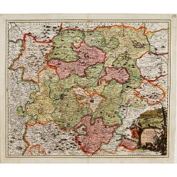
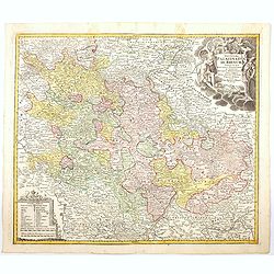
Ducatus Brunsuicensis..
"Showing the area of Hildesheim, Gottingen, Wolfenbuttel, etc. Lower left splendid title cartouche.The map is painted in strong and a somewhat impressionistic way. C...
Date: Nurenberg, 1710
Selling price: ????
Please login to see price!
Sold in 2013
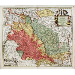
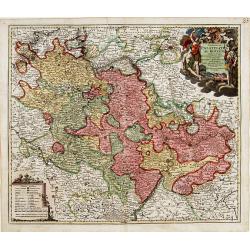
Archiepiscopatus et electoratis Coloniensis..
"Detailed map covering the area in-between Maastricht, Weert, Nijmegen, Dü'sseldorf, Cologne and Bonn. Upper right splendid title cartouche.The map is painte...
Date: Nurenberg 1710
Selling price: ????
Please login to see price!
Sold
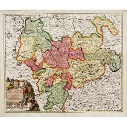
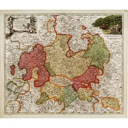
Landgraviatus Thuringae tabula generalis. . .
Detailed map centered on Gotha and Erfurt. Lower right splendid title cartouche.The map is painted in strong colors. Clearly from an show-piece atlas produced for a wealt...
Date: Nurenberg, 1710
Selling price: ????
Please login to see price!
Sold in 2018
Exactissima Palatinatus ad Rhenum..
Covering southern part of the river Rhine. Including the towns of Frankfurt, Heidelberg, Neustadt, Saarbrücken, Mainz, etc.. Upper right splendid title cartouche.The map...
Date: Nurenberg, 1710
Selling price: ????
Please login to see price!
Sold in 2018
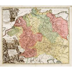
Hydrographia Germaniae..
Showing the river system of western Europe. Upper and lower left corner splendid title cartouches with Neptune and other mythological figures.The map is painted in strong...
Date: Nurenberg 1710
Selling price: ????
Please login to see price!
Sold
Landgraviatus Hassiae Inferioris..
"Detailed map centered on Kassel Upper left and right splendid title cartouches.The map is painted in strong colors. Clearly from an show-piece atlas produced for a ...
Date: Nurenberg 1710
Selling price: ????
Please login to see price!
Sold
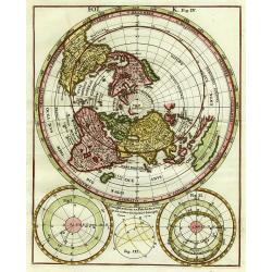
Polus Arcticus.
Interesting polar projection featuring CALIFORNIA AS AN ISLAND. Three astronomical diagrams below.
Date: Munich ca. 1710
Selling price: ????
Please login to see price!
Sold
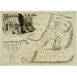
Patriarchatus Hierosolymitani Geographica descriptio.
An ecclesiastical map showing the extent of Patriarchate of Jerusalem in Roman times. Divided into Palestine prima, secunda, salvtatis. The shore line runs from Sicaminum...
Date: Amsterdam 1699-1710
Selling price: ????
Please login to see price!
Sold
No title.
A fine and rare panoramic view of a town in the Near East. With extensive shipping on the foreground. From the Voyage de M. le Chevalier Chardin en Perse, et autres lieux...
Date: Paris,1710
Selling price: ????
Please login to see price!
Sold in 2012
[Ruines d'un palais perse]
From the Voyage de M. le Chevalier Chardin en Perse, et autres lieux de l'Orient.
Date: Paris, 1710
Selling price: ????
Please login to see price!
Sold in 2014
No title.
From the Voyage de M. le Chevalier Chardin en Perse, et autres lieux de l'Orient.Panoramic view of a city in the Near East.
Date: Paris, 1710
Selling price: ????
Please login to see price!
Sold in 2012
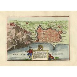
Barcelonne.
Nice little plan of Barcelona, with a nice cartouche with coat of arms.
Date: Amsterdam 1710
Selling price: ????
Please login to see price!
Sold
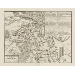
Plan de la Bataille de Malplaquet Donnée entre l'armée du Roy et celle des alliés le 11. Sept. 1709.
Extremely fine and detailed plan depicting the siege of de Malplaquet over Price Eugéne on September 11th 1709. With key list in the upper right corner. Engrav...
Date: Paris, 1710
Selling price: ????
Please login to see price!
Sold in 2009
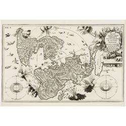
Imago Totius Orbis..
A very graphic map of the world on a north polar projection. Surrounding the lands are two astronomical round diagrams, eight classic wind heads usually seen on 16th cent...
Date: Munich ca. 1710
Selling price: ????
Please login to see price!
Sold
Les Duchés de Clèves, de Iuliers et de Limbourg..
Including Cleve, Wesel, Emmerich,
Date: Paris, ca. 1710
Selling price: ????
Please login to see price!
Sold
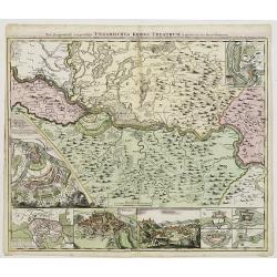
Neu Geographisch vorgestelltes Ungarisches Kriegs -Theatrum. . .
A rare map centered on Belgrade, including two plans of the battle of Belgrade and Temeswar in 1717 : underneath the map, two views of Belgrade and the Serbian city of Sm...
Date: Nuremberg, ca 1710
Selling price: ????
Please login to see price!
Sold in 2020
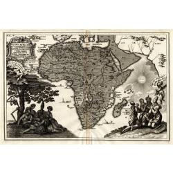
Representatio Totius Africae ...
This is Scherer's (1628-1704) famous but rather uncommon map showing the skeleton chopping down the tree. Based on his earlier map of the continent (see Norwich Map 62),...
Date: Munich 1710
Selling price: ????
Please login to see price!
Sold
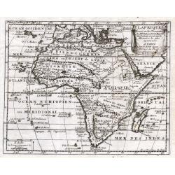
L'Afrique
Nicolas Bion (1652-1733) was a French mapmaker in Paris. In 1710 Bion's L'Usage des Globes Celestes et Terrestrees et des spheres was published, from which this map com...
Date: Paris, 1710
Selling price: ????
Please login to see price!
Sold
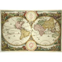
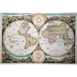
Werelt Caert
Beautiful double hemisphere from a Dutch Bible. Surrounded by allegorical representations of the continents, based on Visscher. CALIFORNIA AS AN ISLAND with a flat northe...
Date: Dordrecht 1710
Selling price: ????
Please login to see price!
Sold
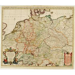
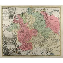
Novi Imperii Germanici ? L'Allemagne Dressé sur les observations ..
Fine map of Germany, Low countries, Switzerland, Austria and Poland. Pierre Mortier copied the map of Nicolas Sanson and de L'Isle. Sanson was to bring about the rise of ...
Date: Amsterdam, 1710
Selling price: ????
Please login to see price!
Sold in 2008
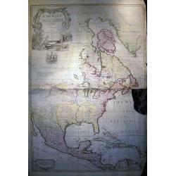
North America corrected from the observations communicated to the Royal Society of London, and the Royal Academy at Paris...
Monumental and important large wall map of the Eastern part of North America with the United States, Central America, and the West Indies. Centered on the great lakes.1st...
Date: London, c 1710
Selling price: ????
Please login to see price!
Sold in 2008
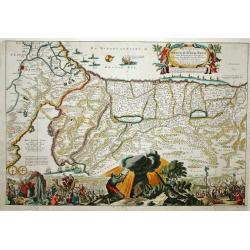
Pergrinatie ofte Veertich-iarige Reyse
Dutch Bible map of the Holy Land depicting the Exodus from Egypt and the wanderings of the Children of Israel. The lower part of the map is elaborately engraved with a sc...
Date: Amsterdam, 1710
Selling price: ????
Please login to see price!
Sold
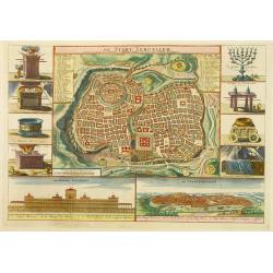
De Stadt Jerusalem.
A stunning "carte à figures" plan of ancient Jerusalem from a Dutch bible after Villalpando. Lower left the Temple as a Renaissance palace and lower right a pa...
Date: Amsterdam, 1710
Selling price: ????
Please login to see price!
Sold in 2008
Hydrographia Germaniae qua Geographiae Naturalis
colored map of the river system of Germany from J. B. Homann. With two beautiful cartouches. From "Grosser Atlas".
Date: Nuremberg, 1710
Selling price: ????
Please login to see price!
Sold in 2009
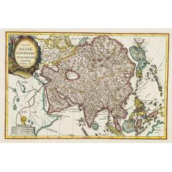
Totius Asiae continens cum praecipuis insulis eidem annexis
On this map Hokkaido is connected with Honshu and even bigger depicted than Honshu. In lower left cartouche a scale and a monstrance with the sign of the Society of Jesus...
Date: Munich, 1710
Selling price: ????
Please login to see price!
Sold in 2008
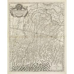
Legazione di Bologna . . .
A uncommon map of part of the Bologna region in northern Italy, in the Po Valley, between the Po River and the Apennines, exactly between the Reno River and the Sàvena R...
Date: Rome, ca. 1710
Selling price: ????
Please login to see price!
Sold in 2009
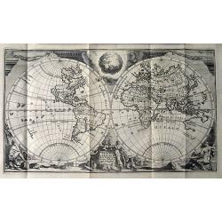
Werelt Caert. Orbis terrarum
Lovely double hemisphere map from a Dutch Bible. Title inside the surrounding allegorical representations of the continents, based on Visscher. CALIFORNIA IS AN ISLAND wi...
Date: Amsterdam 1710
Selling price: ????
Please login to see price!
Sold in 2009
Theatre de la Guerre en Espange et en Portugal. . . Presenté à Philippe V Roy d'Espagne, et de Indes. . . [four sheets]
The map is exceptionally detailed, but the most remarkable feature of the engraving is the enormous, superbly detailed and designed title-piece. A dedication to Philip V ...
Date: Amsterdam, 1710
Selling price: ????
Please login to see price!
Sold in 2009
Le Royaume de Siam avec Les Royaumes Qui Luy sont Tributaries & c. / La Royaume de Siam avec les royaumes qui luy sont Tributaires, et les Isles de Sumatra, Andemaon, etc. . . [two sheet map]
Influential map of Southeast Asia and the East Indies including modern day Thailand, southern Vietnam, Cambodia, Malaysia, Singapore, Borneo, Sumatra and Java. Ottens inc...
Date: Amsterdam, 1710
Selling price: ????
Please login to see price!
Sold in 2009
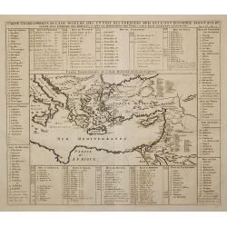
Carte Geographique de l'Asie Mineure ...
Detailed map of the Mediterranean Region, from Chatelain's monumental Atlas Historique.
Date: Paris, 1710
Selling price: ????
Please login to see price!
Sold in 2011
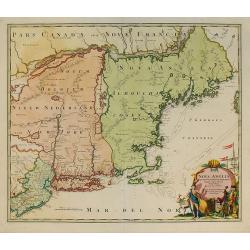
Nova Anglia Septentrionali Americae implantata ..
German interest in North America was high during the first half of the eighteenth century when Johan Baptiste Homann was the leading German cartographer. During this peri...
Date: Nuremberg, c.1710
Selling price: ????
Please login to see price!
Sold in 2011
Creatio Universi... [Genesis]
An attractive and skillful engraving of the creation of the universe, the earth surrounded by planetary orbits, by Tigur Melchior Fuesslinus who flourished as an engraver...
Date: Augsburg, c.1710
Selling price: ????
Please login to see price!
Sold in 2010
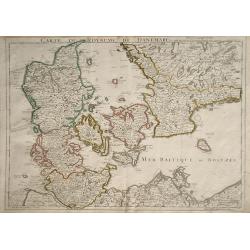
Carte du Royaume de Danemarc
Detailed map of Denmark, also including southern Sweden and northern Germany, showing the city of Copenhagen (Copenhague).
Date: Paris, 1710
Selling price: ????
Please login to see price!
Sold in 2010
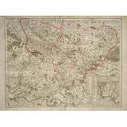
Carte du Diocese de Beauvais.
Map of the Roman Catholic Diocese of Beauvais, in north central France. The town of Beauvais, the seat of the seat of the Diocese, and home to the beautiful gothic cathed...
Date: Paris, 1710
Selling price: ????
Please login to see price!
Sold in 2010
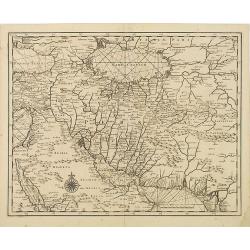
Carte marine de la mer Caspienne avec toutes ses Bayes Rivieres et Havres, dressée sur les observations des plus habiles Navigateurs,. . .
Strikingly engraved and attractive map of the region south of the Caspian Sea, showing major towns, ports, etc. Large compass rose in Arabia.
Date: Leiden, 1710
Selling price: ????
Please login to see price!
Sold in 2010
Nansenbushu bankoku shoka no zu.
This map is a great example of Japanese world maps representing Buddhist cosmology with real-world cartography. It is the earliest one and - therefore - the prototype for...
Date: Kyoto, 1710
Selling price: ????
Please login to see price!
Sold in 2010
Reipublicae et status generalis Poloniae nova Tabula comprehendens Maioris et minoris Poloniae Regni.
Large map of Poland, reaching in the east as far as the Crimea. Engraved by Jacob Keyser.Joachim Ottens (1663 - 1719) and his sons Renier and Joshua were prominent Dutch ...
Date: Amsterdam, ca. 1710
Selling price: ????
Please login to see price!
Sold in 2010
Cimebebas et Caffariae Littora a Catenbela ad Promontorium Bonae Spei. Pascaerte... Gedruckt tot Amsterdam by L Renard.
A highly decorative of the southern and southwest coast of Africa including the Cape of Good Hope. A large title cartouche dominates the top of the chart. This cartouc...
Date: Amsterdam, (c.1675) 1710
Selling price: ????
Please login to see price!
Sold in 2011
Paskaart van de Mont van de Witte Zee,. Beginnende van Tiepena tot Pelitza, als mede van C. Cindenoes tot Catsnoes.
Fine sea chart of the southern part of the Barents Sea, oriented to the West. With 5 inset maps: - Swetenoes, de Kust van Laplandt, Lombascho, ''T Vaste Landt van Lapland...
Date: Amsterdam, c.1710
Selling price: ????
Please login to see price!
Sold in 2011
Orbis Terrarum Nova et Accuratissima Tabula.
Superb elaborate double-hemisphere copper engraved map of the world. Shows California as an island, large "Compagnies Land" between the Asian and American cont...
Date: Leiden, c. 1710
Selling price: ????
Please login to see price!
Sold in 2011
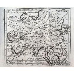
Asie.
A small map of Asia with curiously shaped coast lines. Korea is shown as being thin and long, whilst Japan is misshaped, as is India. Includes the Philippines, Borneo and...
Date: Paris, ca 1710
Selling price: ????
Please login to see price!
Sold in 2019
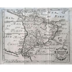
Amerique meridionale.
A small map of South America with an interestingly shaped of coast line. It shows a few dates and fictional islands. A large "Terres Inconnues" is shown in the ...
Date: Paris, ca 1710
Selling price: ????
Please login to see price!
Sold in 2019
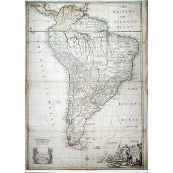
SOUTH AMERICA. Corrected from the Observations comunicated to the Royal Societys of London & Paris.
A lovely extra large map of South America, dedicated by Senex to the famous Astronomer and Mnathematician Edmund Halley LLD Savilian Professor of Geometery in Oxford and ...
Date: London, 1710
Selling price: ????
Please login to see price!
Sold in 2022
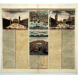
Carte du Gouvernement Civil et Politique de l a Republique de Venise ses Differens Conseils de Palais de St Marc et Celui des procurateurs.
This impressive engraving is a wonderful example of Chatelain's elegant plates. It provides a detailed description of the infrastructure of the Venetian government. Ornam...
Date: Amsterdam, 1710
Selling price: ????
Please login to see price!
Sold in 2020
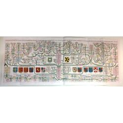
[German liberty heroes tree] Trophee Eleve a la Gloire des Premiers Heros de la Liberte Germanique et a celle de leurs decendants.
An elaborate tree featuring 41 coats of arms and family crests and pictures of the hero's of german history. The base of the tree comes from a large tankard adorned by se...
Date: Paris, 1710
Selling price: ????
Please login to see price!
Sold in 2020
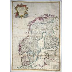
Sweden Corrected from the Observations Communicated to the Royal Society in London and the Royal Academy in Paris. . .
A large-scale general map of Scandinavia. In addition to Sweden, it shows Norway, Denmark and Finland. The new city of St. Petersburg (founded 1703) is shown at the head ...
Date: London, 1710
Selling price: ????
Please login to see price!
Sold in 2020
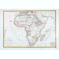
Carta dell Affrica in eisa dalli Fratelli Bordiga.
Decorative map of the African continent with Madagascar and the surrounding islands. Also the Arabia peninsular. Published by the Bordiga brothers of Milan.
Date: Milan, ca. 1710
Selling price: ????
Please login to see price!
Sold in 2020
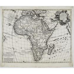
AFRICA Concinnata Secundum Observationes. . .
A rare issue by German the publisher Jeremia Wolff of de l’Isle’s map of Africa, which served as the model for European mapmakers, and was frequently copied throughou...
Date: Augsburg, 1710
Selling price: ????
Please login to see price!
Sold in 2020
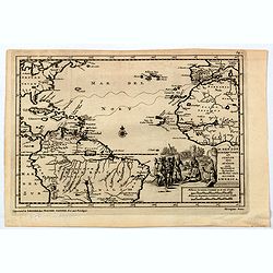
H. Benzos Scheep-togt uit Italie over Spanje na de Westindize Eylanden, en Kusten van't Zuider America.
A delightful map of the Atlantic Ocean highlighting the route of explorer Hieronymus Benzon, who travelled from Spain to the Americas, and back to Italy between 1541-56. ...
Date: Leiden, ca 1710
Selling price: ????
Please login to see price!
Sold in 2020
Exactissima Palatinatus ad Rhenum. . .
A nice detailed map covering the southern part of the river Rhine. Including the towns of Frankfurt, Heidelberg, Neustadt, Saarbrucken, Mainz, etc. Embellished with a lov...
Date: Nuremberg, 1710
Selling price: ????
Please login to see price!
Sold in 2020
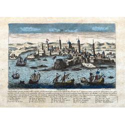
Tripoli.
A decorative view of Tripoli. With detailed sailing ships and buildings. Below the view with descriptive French text of the city and its (pirate) history. A 1-16 legend k...
Date: Paris, ca 1710
Selling price: ????
Please login to see price!
Sold in 2020
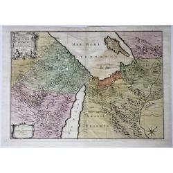
Les Deserts D'Egypte de Thebaide D'Arabie, De Sirie &c.
Full title and impressum in a cartouche top left: 'Les Deserts D'Egypte de Thebaide D'Arabie, De Sirie, &c. ou Sont Exactement Marques Les Lieux Habitez Par Les Sainc...
Date: Amsterdam, 1710
Selling price: ????
Please login to see price!
Sold in 2021
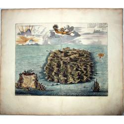
SAINT HELENA.
This fine hand colored original copper-plate engraved antique map of the Island of St Helena in the southern Atlantic, was published by Pieter Van der Aa. With cherubs, s...
Date: Amsterdam, ca 1710
Selling price: ????
Please login to see price!
Sold in 2021
TRADIDIT MUNDUM DISPUTATIONIBUS EORUM [God has delivered the world to their disputes.]
A fine copper engraved allegorical frontispiece to Vol.7 of Scherer's 'Atlas Novus' This print depicts the World inside a celestial sphere, which is hold by Gods hand at...
Date: Munich, 1710
Selling price: ????
Please login to see price!
Sold in 2021
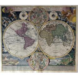
Planiglobii Terrestris Cum Utroq Hemisphaerio Caelesti Generalis Exhibitio..
Intriguing and spectacular world map, one of the most decorative world maps of the eighteenth century. This is the first edition of J.B. Homann's double hemisphere map, w...
Date: Nuremberg, 1710
Selling price: ????
Please login to see price!
Sold in 2021
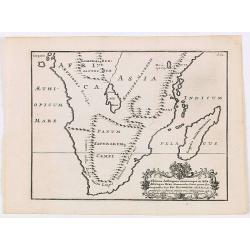
Ultimae Aethiopum utrorumque in Asia Africaque Orae . . .
A uncommon map of South Africa after Pompus Mela, with Madagascar with a large cartouche lower left with dedication to Ric. Elsworth of Bickham.From "De situ orbis l...
Date: London, Philipp Bishop, 1711
Selling price: ????
Please login to see price!
Sold in 2020
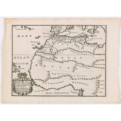
Africae fons illa, quae Mari Atlantico . . .
A uncommon map of West Africa with a large dedicational cartouche lower left corner.From "De situ orbis libri tres, ad omnium Angliae & Hiberniae codicum mss. fi...
Date: London, 1711
Selling price: ????
Please login to see price!
Sold in 2020
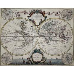
Mappe-Monde Dresse sur les Observations de Mrs. de l'Academie Royale des Sciences. . .
World map by M. de L'Isle, published by Pierre Mortier 1705-1711. A double hemisphere world map with four polar views showing the world from various angles in the corners...
Date: Amsterdam, 1705-1711
Selling price: ????
Please login to see price!
Sold in 2021
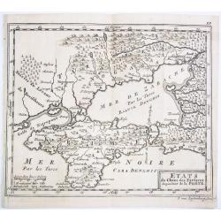
ETATS du Cham des Tartares dependent de la Porte.
A rare copper engraved map of the southern Ukraine and the Crimea peninsula. From 'Theatre complete et particularise de la Guerre du Nort', La Haye ,1711.
Date: La Haye, 1711
Selling price: ????
Please login to see price!
Sold in 2021
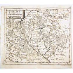
UKRAINE ou Palatinat de Kiowie.
A rare copper engraved map of the central Ukraine and the Kiev surrounding. From 'Theatre complet et particularise de la Guerre du Nort', La Haye ,1711.
Date: La Haye, 1711
Selling price: ????
Please login to see price!
Sold in 2021
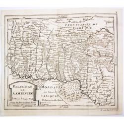
PALATINAT DE KAMIENIEC.
A rare copper engraved map of the former Polish Palatinate of Kamieniec in the south-western Ukraine. From 'Theatre complet et particularise de la Guerre du Nort', La Hay...
Date: La Haye, 1711
Selling price: ????
Please login to see price!
Sold in 2021
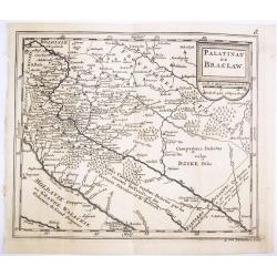
PALATINAT DE BRACLAW.
A rare copper engraved map of the old Polish Palatinate of Braclaw in the south-western Ukraine. From 'Theatre complet et particularise de la Guerre du Nort', La Haye , 1...
Date: La Haye, 1711
Selling price: ????
Please login to see price!
Sold in 2021
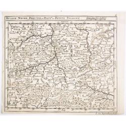
RUSSIE NOIRE, POKUTIE,et HAUTE ou PETITE POLOGNE.
A rare copper engraved map of the western Ukraine and southern Poland. From 'Theatre complet et particularise de la Guerre du Nort', La Haye , 1711.
Date: La Haye, 1711
Selling price: ????
Please login to see price!
Sold in 2021
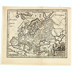
Summa Europae Antique Descriptio.
Striking and decorative map of Europe, with an ornate cartouche. Nice dark impression. From Cluverius' "Introductio in Universam Geographiam" (first issued in 1...
Date: London, 1711
Selling price: ????
Please login to see price!
Sold in 2023
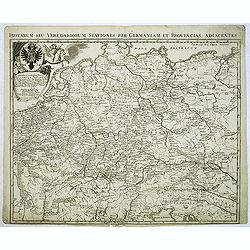
Postarum seu veredariorum stationes per Germaniam et provincias adiacentes
Rare post road mapspost route map of the Low Countries, Germany, Poland, Switzerland and Austria. Including the towns of Venice, Paris, Lübeck, Krakow and centered on Ba...
Date: Brussels, 1711
Selling price: ????
Please login to see price!
Sold in 2012
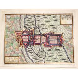
Bouchain: Ville Forte du Comte de Hainaut Situee Sur la Riviere d'Escaut.
Fine little plan of the fortification of Bouchain by Pieter Devel and published by Eugene Henry Fricx. The Siege of Bouchain (August – September 1711), was a siege of ...
Date: Brussels, 1711
Selling price: ????
Please login to see price!
Sold in 2013
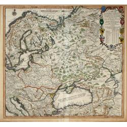
Carte Pour l\'Intelligence des Affaires Presente Des Turcs, des Tartares, des Hongrois, des Polonois, des Suedois, et des Moscovites Aux Environs . . .
Scarce Nicolas de Fer map of the region centred on Russia and extending east to the mouth of the Volga in the Caspian Sea, west to the Baltic, South to the Black Sea, Ita...
Date: Paris, 1711
Selling price: ????
Please login to see price!
Sold in 2014
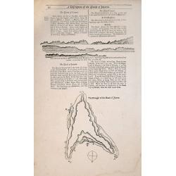
A Description of the Islands of Joanna (Anjouan).
A Description of the Islands of Joanna by Samuel Thornton. Small woodblock chart by Samuel Thornton of The Island of Joanna published in 1711 by John How and Samuel Thorn...
Date: London, 1711
Selling price: ????
Please login to see price!
Sold in 2014
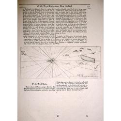
The Tryal Rocks.
Small woodblock chart of The Tryal Rocks from The English Pilot The third Book 1711. Of particular interest to the History of Australia. Australia's Oldest Ship Wreck.Rar...
Date: London, 1711
Selling price: ????
Please login to see price!
Sold in 2014
The Making of the Canary Islands.
The Making of the Canary Islands, a woodblock chart by Samuel Thornton showing the approaching coast lines of The Island of Madera, Gran Canaries and Island of Palma on t...
Date: London, 1711
Selling price: ????
Please login to see price!
Sold in 2014
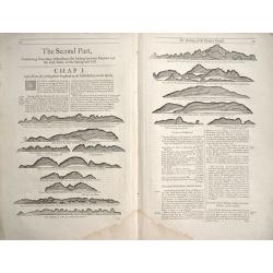
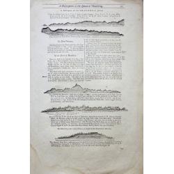
Directions between Amoye and Chusan.
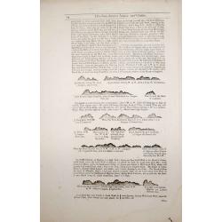
Text page with woodblock plofiles by Samuel Thornton showing the approaching coast lines of The Island of Quesan, Sampanna, Lamjett and Island of Hightan on the verso dir...
Date: London 1711
Selling price: ????
Please login to see price!
Sold in 2014
Two double sided pages No's 25 & 26 ‘Directions for the coast of Arabia.' 27 & 28 Directions for the Coast of Persia & ‘Directions for the coast of Arabia
Four woodblock chart’s on two double sided sheets by Samuel Thornton showing the approaching coast lines Arabia by John How and Samuel Thornton. Pages numbered 25,26,27...
Date: London, 1711
Selling price: ????
Please login to see price!
Sold in 2015
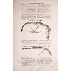
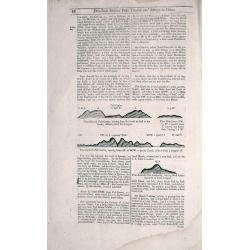
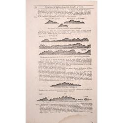
Three double sided pages No's 65 & 66 ‘Directions from the River Siam to the River of Cambodia.' Directions between Pulo Timoan and Amoye in China. 67 & 68 Directions between Pulo Timoan and Amoye in China. 69 & 70,
Six woodblock chart’s on three double sided sheets by Samuel Thornton showing the approaching coast lines China by John How and Samuel Thornton.Published in "The E...
Date: London, 1711
Selling price: ????
Please login to see price!
Sold in 2014
Two double sided pages No's 57 & 58 A Description of the West Coast of Sumatra & The West coast of Sumatra 59 & 60 The West coast of Sumatra & Instructions for Sailing through the Streights of Diron
Four woodblock chart’s on two double sided sheets by Samuel Thornton showing the approaching coast lines of Sumatra. Published in "The English Pilot, the Third Boo...
Date: London 1711
Selling price: ????
Please login to see price!
Sold in 2014
Two double sided pages No's 61 & 62 Directions for the Streights of Singapore. 63 & 64 Directions for the Old Streights of Singapore & Instructions for Sailing from Pulo Tingay to Siam.
Four woodblock chart’s on two double sided sheets by Samuel Thornton showing the approaching coast lines of Singapore & Thailand.Published in "The English Pilo...
Date: London, 1711
Selling price: ????
Please login to see price!
Sold in 2014
Gouvernement général du Duché de Bretagne, Divisée en Haute et Basse.
First state. Separation in Upper and Lower Brittany as shown on the 1705 plate is now corrected.
Date: Paris, 1711
Selling price: ????
Please login to see price!
Sold in 2015
Asia According to ye Newest Observations. . .
Fine map of Asia covering from Asia Minor in the west to New Guinea in the east. It includes South East Asia and New Guinea, but not Australia. From Moll's "Atlas Ge...
Date: London, 1711
Selling price: ????
Please login to see price!
Sold in 2016
Ausriss des Vorigen Palasts, Wie er Nach dem Garten Zu. (The Palace After the Garden)
This magnificent copper engraving is from Paul Decker's work entitled "Furstliche Baumeister, oder Architectura Civilis.... Published in Augsburg, Germany by Peter D...
Date: Augsburg, 1711
Selling price: ????
Please login to see price!
Sold in 2023
A Description of the Island of Mauritius - Don Mascarenhas Island.
No’s 23 – 24 A woodblock chart on a double sided sheet by Samuel Thornton showing the approaching coast line of Mauritius 23’ on the verso 24’ shows Don Mascarenh...
Date: London 1711
Selling price: ????
Please login to see price!
Sold in 2015
Carte généalogique de la maison de Plantagenette et des ducs Normandie avec les branches, et les alliances quelles, ont formées; pour conduire a l'intelligence de l'histoire d'Angleterre et d'Ecosse et d'Irlande.
A very attractive, hand colored genealogical chart of mediaeval English royal families, including thirteen coats of arms of Edward the Confessor, Edward III, the Plantage...
Date: Paris, 1711
Selling price: ????
Please login to see price!
Sold in 2015
![[Ruines d'un palais perse]](/uploads/cache/16328-250x250.jpg)

![Theatre de la Guerre en Espange et en Portugal. . . Presenté à Philippe V Roy d'Espagne, et de Indes. . . [four sheets]](/uploads/cache/01579-250x250.jpg)
![Le Royaume de Siam avec Les Royaumes Qui Luy sont Tributaries & c. / La Royaume de Siam avec les royaumes qui luy sont Tributaires, et les Isles de Sumatra, Andemaon, etc. . . [two sheet map]](/uploads/cache/27847-250x250.jpg)
![Creatio Universi... [Genesis]](/uploads/cache/91539-250x250.jpg)
![[German liberty heroes tree] Trophee Eleve a la Gloire des Premiers Heros de la Liberte Germanique et a celle de leurs decendants.](/uploads/cache/83599-250x250.jpg)
![TRADIDIT MUNDUM DISPUTATIONIBUS EORUM [God has delivered the world to their disputes.]](/uploads/cache/85220-250x250.jpg)
