Browse Listings
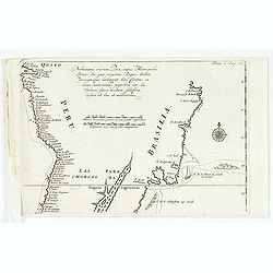
Pelineatis anarium Peru cujus Metropolis Lima : In qua vicarus Regis, Archie piscopusque . . . .
Uncommon map of the central part of South America with Peru, Brasil. Only coastal names.From a travel book describing the early Dutch voyages by René Augustin Constantin...
Date: Amsterdam, E. Rogers, 1702
Selling price: ????
Please login to see price!
Sold in 2016
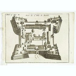
Fort de l'Isle de Banda.
Decorative print of the Dutch fortress on the island Banda.From a travel book deScribing the early Dutch voyages by René Augustin Constantin de Renneville Recueil des vo...
Date: Amsterdam, E. Rogers, 1702
Selling price: ????
Please login to see price!
Sold in 2013
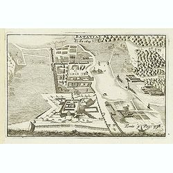
Batavia, L'an 1629.
Uncommon of Batavia (Jakarta) in 1629.From a travel book describing the early Dutch voyages by René Augustin Constantin de Renneville Recueil des voiages qui ont servi ...
Date: Amsterdam, E. Rogers, 1702
Selling price: ????
Please login to see price!
Sold in 2013
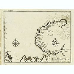
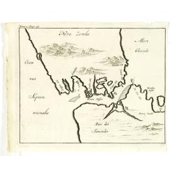
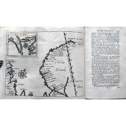
Nova Zemla.
Uncommon map of Novaya Zemlya with un unknown east coast. Based on info from Barentz. arctic voyage.From the French reissue of the account of early Dutch voyages first pu...
Date: Amsterdam, E. Roger, 1702
Selling price: ????
Please login to see price!
Sold in 2012
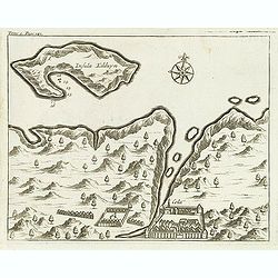
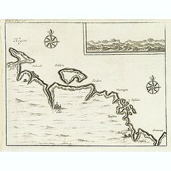
(Insula Kilduyn.)
Uncommon map of part of the coast along the Barents Sea with the island of Kildin, offshore of the river and town of Cola (Murmansk). Originally made to illustrate Willem...
Date: Amsterdam, E. Roger, 1702
Selling price: ????
Please login to see price!
Sold in 2012
(Kegor.)
Uncommon map of part of the coast along the Barents Sea with the island of Kildin, offshore of the river and town of Cola (Murmansk). Originally made to illustrate Willem...
Date: Amsterdam, E. Roger, 1702
Selling price: ????
Please login to see price!
Sold in 2012
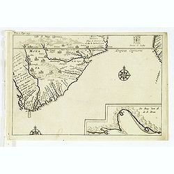
Cabo de Bona Esperanca / De Bay Van A de.S. Bras.
Uncommon small map of South Africa. From the French reissue of the account of early Dutch voyages first published in 1608 by Commelin. The French translation was carried ...
Date: Amsterdam, E. Roger, 1702
Selling price: ????
Please login to see price!
Sold in 2012
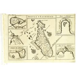
Insula S. Laurentii.
Map of Madagascar, with four inset maps. From the French reissue of the account of early Dutch voyages first published in 1608 by Commelin. The French translation was car...
Date: Amsterdam, E. Roger, 1702
Selling price: ????
Please login to see price!
Sold in 2012
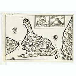
(Bird's eye view of the Bay of Bantam.)
Bird's eye view of the Bay of Bantam after Willem Lodewijcksz.From the French reissue of the account of early Dutch voyages first published in 1608 by Commelin. The Frenc...
Date: Amsterdam, E. Roger, 1702
Selling price: ????
Please login to see price!
Sold in 2014
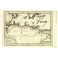
Iava Maior.
Nice early map of Java. From the French reissue of the account of early Dutch voyages first published in 1608 by Commelin. The French translation was carried out by René...
Date: Amsterdam, E. Roger, 1702
Selling price: ????
Please login to see price!
Sold in 2013
( Detroit de Baly / Detroit de Ballabuan. )
Nice early map of Bali. From the French reissue of the account of early Dutch voyages first published in 1608 by Commelin. The French translation was carried out by René...
Date: Amsterdam, E. Roger, 1702
Selling price: ????
Please login to see price!
Sold in 2013
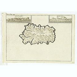
St Helene.
Uncommon small map of St. Helena, with two coastal profile inset maps.From the French reissue of the account of early Dutch voyages first published in 1608 by Commelin. T...
Date: Amsterdam, E. Roger, 1702
Selling price: ????
Please login to see price!
Sold in 2012
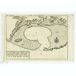
Isle St. Maurice. Ins. cygnae a Lusit, a nostris Maurity nomine indigitata, sita ad 21um gradum ab Equinoctiali Meridiem versus inventa et detecta Decima-jctava die mensis septembris anno 1598.
A bay at ST. Mauritius, a small island located in the South-West Indian Ocean, off the east coast of Madagascar. Mauritius is well known for the Dodo, the extinct bird. T...
Date: Amsterdam, E. Roger, 1702
Selling price: ????
Please login to see price!
Sold in 2021
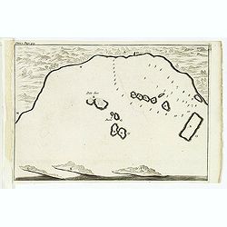
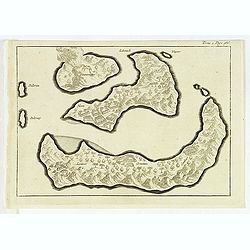
(Gunanappi / Wayer / Nera / Pulorin / Puloway .)
Uncommon map of islands in the Banda Sea. Several islands and villages are named, Wayer, Nera, Pulorin, Puloway, Lontoor, Ortattan and Combeer.From the French reissue of ...
Date: Amsterdam, E. Roger, 1702
Selling price: ????
Please login to see price!
Sold in 2012
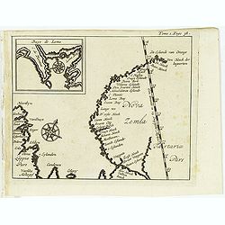
(Map of Nova Zembla with inset of Baye de Loms.)
Map of Nova Zembla with inset of Baye de Loms (5x7mm.).From the French reissue of the account of early Dutch voyages first published in 1608 by Commelin. The French trans...
Date: Amsterdam, E. Roger, 1702
Selling price: ????
Please login to see price!
Sold in 2012
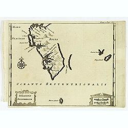
Delineatio Spitsbergiae.
Map of Sipitsbergen.From the French reissue of the account of early Dutch voyages first published in 1608 by Commelin. The French translation was carried out by René Aug...
Date: Amsterdam, E. Roger, 1702
Selling price: ????
Please login to see price!
Sold in 2012
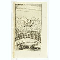
(Dutch ship in Arctic waters with 3 sea lions in the foreground)
From the French reissue of the account of early Dutch voyages first published in 1608 by Commelin. The French translation was carried out by René Augustin Constantin de ...
Date: Amsterdam, E. Rogers, 1702
Selling price: ????
Please login to see price!
Sold in 2012
(Nova Zemla / Ocea nus Septen trionalis. )
Uncommon map of the Strait Nassau, between Nova Zembla and the Russian mainland. Originally made to illustrate Willem Barentz. arctic voyage. From the French reissue of t...
Date: Amsterdam, E. Roger, 1702
Selling price: ????
Please login to see price!
Sold in 2012
[map of South East Asia ]
The map is an expanded version of De Bry's "Mar di India", with the inclusion of an inset map of Buton (Botton I. 140x105mm.). The Straits of Buton, highlighted...
Date: Amsterdam, E. Rogers, 1702
Selling price: ????
Please login to see price!
Sold in 2012
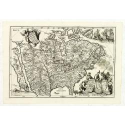
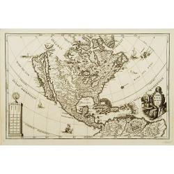
Provinciae Borealis Americae non ita Pridem Detectae aut Magis ab Europaeis Excultae.
This captivating map of North America features a huge island of California, an oversized depiction of the Great Lakes, and a misplaced Mississippi River delta. The interi...
Date: Munich, 1702
Selling price: ????
Please login to see price!
Sold in 2012
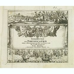
(Title page) Introduction a la Fortification. . .Tome premier
Very decorative title page of this Amsterdam edition of De Fer's important atlas "'Les forces de l'Europe, ou description des principales villes. . .", original...
Date: Amsterdam, 1693-1702
Selling price: ????
Please login to see price!
Sold in 2012
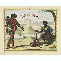
C.D.Bona Esperance.
A rare view of a South African couple. In background Table Mountain.Engraved by A.Meijer for Carolus Allard's for his Orbis habitabilis oppida et vestitus. This rare work...
Date: Amsterdam, inbetween 1683-1702
Selling price: ????
Please login to see price!
Sold in 2012
Bandel, de Reede van de vermaerde Koopstadt Arrakan. [Chittagong]
View of Chittagong. From Schenk's Hecatompolis sive Totius Terrarum Oppida Nobiliora Centrum.. , a collection of 100 views, dedicated to the 14-year old Prussian crown pr...
Date: Amsterdam, 1702
Selling price: ????
Please login to see price!
Sold in 2014
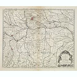
Le Cours du Po... / Les Duchez de Mantoue de Modene et de Parme. . .
Detailed and scarce map of the area of Mantua prepared by Placide de Sainte-Hélène (1648-1734). and published by Claude-Auguste Berey (1651-1732).This is the edition wh...
Date: Paris, 1702
Selling price: ????
Please login to see price!
Sold in 2016
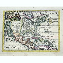
L\'Amerique septentrionale. Noord America.
Map of North and Central America showing California as an island with indented coastline, and with place names R'Estiete, C.Blanco, P.de Carinde, Canal de S. Barbe, I. de...
Date: Amsterdam, 1702
Selling price: ????
Please login to see price!
Sold in 2013
Recueil des Voyages qui ont Servi a l'Etablissement et aux Progres de la Compagnie des Indes Orientales...
Very rare account of the Dutch voyages after Commelin. With title, 1 plate and 14 folding maps, including maps of Novaya Zemlya, Spitsbergen, Madagascar, St. Helena, Sout...
Date: Amsterdam, 1702
Selling price: ????
Please login to see price!
Sold in 2013
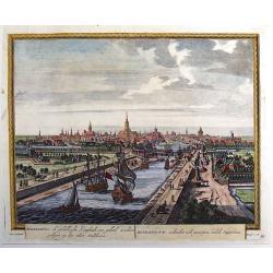
Middelburg, de Gelukkigste Koopstadt Van Geheel Zeelant.
A view of Middelburg, Netherlands, one of the three fortified towns erected to guard against the Viking raids. Petrus Schenck, (1660 – 1711) was a German engraver an...
Date: Amsterdam, 1702
Selling price: ????
Please login to see price!
Sold in 2013
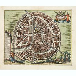
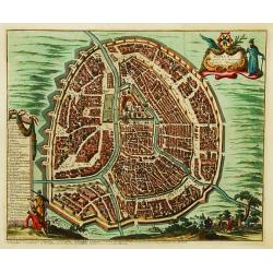
Moscou, Capitale de la Moscovie. . .
Detailed bird's-eye view of the town of Moscow with the Kremlin and old city, Kitay-gorod, at center. These are surrounded by successive rings of fortifications. The plan...
Date: Leiden, 1702
Selling price: ????
Please login to see price!
Sold
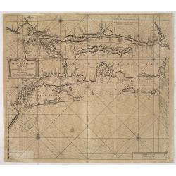
Pas-Kaart Vande Zee Kusten van Niew Nederland Anders Genaamt Niew York. . .
The first separate map of the Hudson River Valley, and the second printed of New York, Long Island and the southern New England coast. Based on original Dutch surveys ma...
Date: Amsterdam, 1682 - ca. 1702
Selling price: ????
Please login to see price!
Sold in 2013
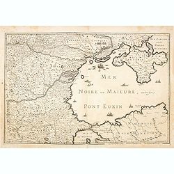
(Mer Noire ou Maieure, Pont Euxin.)
Very rare and detailed map of the Black Sea area prepared by Placide de Sainte-Hélène (1648-1734). and engraved by Claude-Auguste Berey (1651-1732).The map is of partic...
Date: Paris, 1702
Selling price: ????
Please login to see price!
Sold in 2014
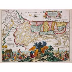
Perigrinatie ofte Veertich-jarige Reyse der Kinderen Israels.
Dutch so-called ' Staten' bibles, published between 1637 and c. 1760, contained five maps: The World, ' Paradise', The Perigrinations, The Promised Land Canaan, The Trave...
Date: Amsterdam, H.,J.,P. Keur, M. Doornick en P. Rotterdam, 1702
Selling price: ????
Please login to see price!
Sold in 2020
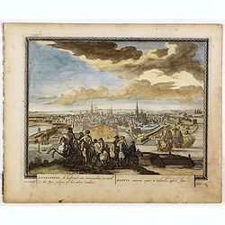
Koppenhaven, de hooftsadt van Denemarken. .
Nice panoramic view of Copenhagen. From Schenk's "Hecatompolis sive Totius Terrarum Oppida Nobiliora Centrum...", a collection of 100 views, dedicated to the 14...
Date: Amsterdam, 1702
Selling price: ????
Please login to see price!
Sold in 2016
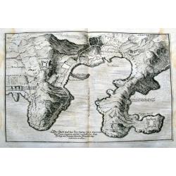
Die Stadt und der See-Haven Ville franche oder Villa franca, welche im Jahr 1691, dem Herzog von Savoyen durch die Franzosen abgenommen worden.
Detailed map of Villefranche-sur-Mer, including Saint-Jean-Cap-Ferrat, Saint-Michel, and the borders of today's Nice. It shows forts, towers, a few buildings, roads, hill...
Date: Frankfurt, 1702
Selling price: ????
Please login to see price!
Sold in 2015
[Title page] Theatri Europaei, continu ati Vierzehender Theil. . .
Two title pages
Date: Frankfurt, Johann Görlin, 1702
Selling price: ????
Please login to see price!
Sold in 2016
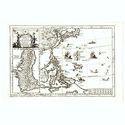
Nova Et Vera Exhibitio Gerographica Insularum Marianarum . . .
Attractive map of the Philippines, Japan, Korea and Indonesia with an inset of the island Guam, by the Jesuit Heinrich Scherer, printed in for Scherer's 'Atlas Novus'. Se...
Date: Munich, c.1702
Selling price: ????
Please login to see price!
Sold in 2016
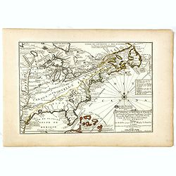
Le Canada, ou Nouvelle France la Florida, la Virginie, Pensilvanie . . .
First edition. This fine map is showing the east coast of the United States from the Caribbean up to Newfoundland, with the western border just beyond the Mississippi.The...
Date: Paris, 1702
Selling price: ????
Please login to see price!
Sold in 2016
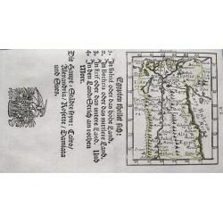
Egypten theilet sich.
Fantastic miniature map of Egypt, despite it size with many place names. Below the map it lists the areas and main cities. An increasingly rare map.
Date: Ulm, 1702
Selling price: ????
Please login to see price!
Sold in 2017
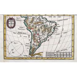
America Ausralis.
A charming and boldly engraved map of South America. This is the bottom part of a map of the Americas by Scherer. With major lakes, rivers and mountains shown, as well as...
Date: Munich, 1702
Selling price: ????
Please login to see price!
Sold in 2017
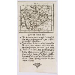
Arabia.
A lovely miniature map of the Arabian peninsular, showing the Red Sea, parts of Persia, Bagdad, parts of north eastern Africa, to the Horn of Africa. For such a small map...
Date: Ulm, 1702
Selling price: ????
Please login to see price!
Sold in 2020
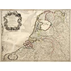
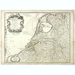
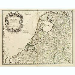
Carte des Provinces Unies des Pays Bas.
Rare state of the map of the Netherlands with the imprint "a la Courone de Diamans" and " a Amsterdam chez Louis Renard Libraire près la Bourse. Decorated...
Date: Paris, 1702
Selling price: ????
Please login to see price!
Sold in 2023
Mauritius.
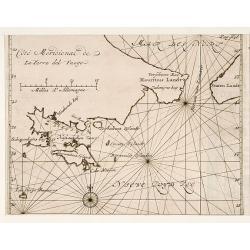
Uncommom map of the southern most tip of Tiera del Fuego. From "Recueil des voiages qui ont servi a l'etablissement et aux progres de la Compagnie des Indes Oriental...
Date: Amsterdam, 1702
Selling price: ????
Please login to see price!
Sold
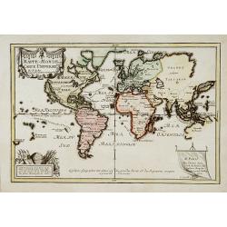
Mappe-Monde ou carte Universelle..
Uncommon world map showing California as an island. Engraved by C.Inselin.
Date: Paris 1702
Selling price: ????
Please login to see price!
Sold
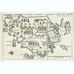
Borneo.
From a travel book deScribing the early Dutch voyages by René Augustin Constantin de Renneville Recueil des voiages qui ont servi à l'établissement & aux progrès ...
Date: Amsterdam, E. Rogers, 1702
Selling price: ????
Please login to see price!
Sold in 2012
Moscou, Capitale de la Moscovie..
Detailed bird's-eye view of the town of Moscow.
Date: Leiden, 1702
Selling price: ????
Please login to see price!
Sold in 2008
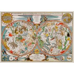
Planisphérès Celeste . Par Mr. De la Hire..
Decorative double hemisphere celestial chart, centred on the north and south poles. The constellation figures are derived from the prototypes in Bayer's Uranometria and t...
Date: Paris 1702
Selling price: ????
Please login to see price!
Sold
Cologne, ville considérable...
Handsome city plan of Cologne, situated on the River Rhine. Shows fortifications, streets, churches, etc. Decorated with a title cartouche and compass rose.
Date: Paris c.1702
Selling price: ????
Please login to see price!
Sold
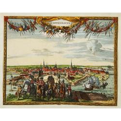
Coppenhaven.
Attractive view of the city and the port of Copenhagen. Very decorative title cartouche on the upper part.
Date: Amsterdam 1702
Selling price: ????
Please login to see price!
Sold
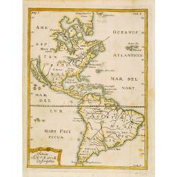
Totius Americae Descriptio.
Rare map of America with California as an island on Briggs model and lacking detail to north. From Kort Beskrifning Om Provincien Nya Swerige uti AMERICA, som nu fortjden...
Date: Stockholm 1702
Selling price: ????
Please login to see price!
Sold
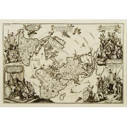
Societas Jesu..
A map from the series of maps by the Jesuit mathematician. The map is presented on a polar projection and is shaded to indicate the spread of the Catholic religion throug...
Date: Munich c.1702
Selling price: ????
Please login to see price!
Sold
America borealis 1699.
A map from the series of maps by the Jesuit mathematician. One of the two maps of North America from the series of about six of North America, produced by Scherer to show...
Date: Munich c.1702
Selling price: ????
Please login to see price!
Sold
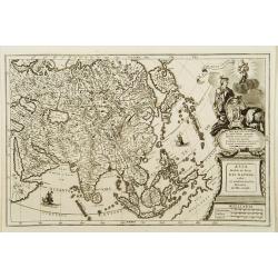
Asia Multis in locis dei matrem colit..
A map from the series of maps by the Jesuit mathematician. A general map of Asia, produced by Scherer to show the spread of Catholicism in the continent. This decorative ...
Date: Munich c.1702
Selling price: ????
Please login to see price!
Sold
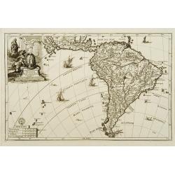
America australis dei parae Multas Sacras Aedes..
A map from the series of maps by the Jesuit mathematician. A general map of south America, produced by Scherer to show the spread of Catholicism in the continent. This de...
Date: Munich c.1702
Selling price: ????
Please login to see price!
Sold
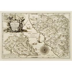
Delineatio Nova Et Vera Partis Australis Novi Mexici.
Attractive map of the Southern Portion of Baja California and contiguous Mexico, based in part on Scherer's correspondence with Fra. Eusebio Kino, the Jesuit Missionary c...
Date: Munich c.1702
Selling price: ????
Please login to see price!
Sold
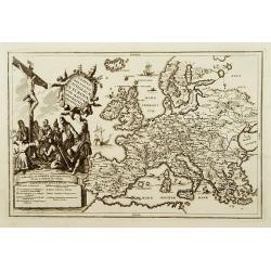
Status religionis catholicae in Europa per mappam geographicam proposito.
A map from the series of maps by the Jesuit mathematician. A general map of Europe, produced by Scherer to show the spread of Catholicism in the continent. There are 2 sh...
Date: Munich c.1702
Selling price: ????
Please login to see price!
Sold
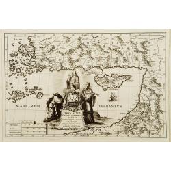
Terra Sancta Christi et Deiparae patria ..
A map from the series of maps by the Jesuit mathematician. A general map of eastern part of Medeteranean with Holy Land and Cyprus, produced by Scherer to show the spread...
Date: Munich c.1702
Selling price: ????
Please login to see price!
Sold
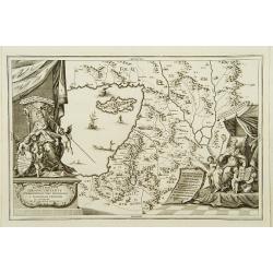
Patriarchatus Ierosolymitanus comprehendebat tres provincias..
A map from the series of maps by the Jesuit mathematician. A general map of the Holy Land and Cyprus (only listing town of Constantia, produced by Scherer to show the spr...
Date: Munich c.1702
Selling price: ????
Please login to see price!
Sold
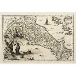
Dominium temporale pontificis Romani in Italia.
A map from the series of maps by the Jesuit mathematician. A general map of central Italy, produced by Scherer to show the spread of Catholicism in the country. Heinrich ...
Date: Munich c.1702
Selling price: ????
Please login to see price!
Sold
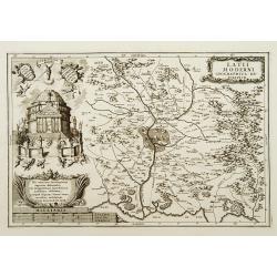
Latii Moderni geographica descriptio.
A map from the series of maps by the Jesuit mathematician. A detailed map centered on Rome, produced by Scherer to show the spread of Catholicism in the country. Heinrich...
Date: Munich c.1702
Selling price: ????
Please login to see price!
Sold
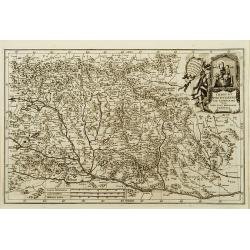
Imago b.v. Poetschensis ter Lachrimari visa toti nunc Hungariae propitia.
A map from the series of maps by the Jesuit mathematician. A general map of Hungary, produced by Scherer to show the spread of Catholicism in the country. Heinrich Schere...
Date: Munich c.1702
Selling price: ????
Please login to see price!
Sold
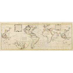
Carte Generale des toutes les Costes du Monde avec un Indice des Variations Magnetiques selon les Observations Faites en l\'Année 1700.
Large-scale world map by the well-known English scientist Edmund Halley, after whom the famous comet was named. But of greater importance were his studies on terrestrial ...
Date: Amsterdam ca. 1702
Selling price: ????
Please login to see price!
Sold
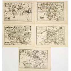
Set of world and 4 continents.
Uncommon set of world and continents. The maps of the World and North America showing California as an island. Engraved by C.Inselin.
Date: Paris 1702
Selling price: ????
Please login to see price!
Sold
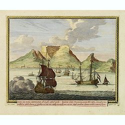
Kabo de Bona Esperança.
Attractive view of the Good Hope Cape. A fleet of Dutch vessels is present on the foreground.
Date: Amsterdam, 1702
Selling price: ????
Please login to see price!
Sold in 2008
Carte des Provinces Unies des Pays Bas.
Rare first edition "Chez l'Auteur Rue des Canettes préz de St. Sulpice". "The "Rue des Canettes" address appears on the original versions of map...
Date: Paris, 1702
Selling price: ????
Please login to see price!
Sold in 2020
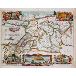
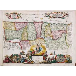
De Gelegentheyt van t' Paradys en t' Landt Canaan, mitsgaders d' eerst bewoonde Landen der Patriarchen.
Dutch so-called ' Staten' bibles, published between 1637 and c. 1760, contained five maps: The World, ' Paradise', The Perigrinations, The Promised Land Canaan, The Trave...
Date: Amsterdam, H.,J.,P. Keur, M. Doornick en P. Rotterdam, 1702
Selling price: ????
Please login to see price!
Sold
Nova Svecia hodie dicta Pensylvania.
Very rare map shows the location of Swedish settlements on the Delaware River.Prepared by Peter Lindström in 1655, who made a map titled Nova Svecia, anno 1654 och 1655,...
Date: Stockholm 1702
Selling price: ????
Please login to see price!
Sold
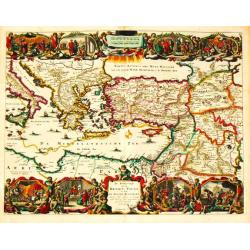
De Beschryving van de Reysen Pauli en Van de Andere Apostelen.
Dutch so-called ' Staten' bibles, published between 1637 and c. 1760, contained five maps: The World, ' Paradise', The Perigrinations, The Promised Land Canaan, The Trave...
Date: Amsterdam, H.,J.,P. Keur, M. Doornick en P. Rotterdam, 1702
Selling price: ????
Please login to see price!
Sold
Bandel, de Reede van de vermaerde Koopstadt Arrakan. [Chittagong]
From Schenk's Hecatompolis sive Totius Terrarum Oppida Nobiliora Centrum.. , a collection of 100 views, dedicated to the 14-year old Prussian crown prince, the later king...
Date: Amsterdam, 1702
Selling price: ????
Please login to see price!
Sold in 2011
Salee, een vermaerde Koopstadt, en roofnest, gelegen aen de Atlantische of Spaense zee.
From Schenk's Hecatompolis sive Totius Terrarum Oppida Nobiliora Centrum.. , a collection of 100 views, dedicated to the 14-year old Prussian crown prince, the later king...
Date: Amsterdam, 1702
Selling price: ????
Please login to see price!
Sold in 2009
Amara, een voorname stadt midden in opper Ethiopie, Abyssine genaamt, ..
From Schenk's Hecatompolis sive Totius Terrarum Oppida Nobiliora Centrum.. , a collection of 100 views, dedicated to the 14-year old Prussian crown prince, the later king...
Date: Amsterdam, 1702
Selling price: ????
Please login to see price!
Sold in 2016
La Moscovie meridionale..
Detailed map centered on Moscow. Charming title cartouche in lower right corner.
Date: Leiden, 1702
Selling price: ????
Please login to see price!
Sold in 2008
Het Beloofde Landt Canaan door wandelt van onsen Salichmaecker Iesu Christo, neffens syne Apostelen.
Dutch so-called ' Staten' bibles, published between 1637 and c. 1760, contained five maps: The World, ' Paradise', The Perigrinations, The Promised Land Canaan, The Trave...
Date: Amsterdam, H.,J.,P. Keur, M. Doornick en P. Rotterdam, 1702
Selling price: ????
Please login to see price!
Sold in 2011
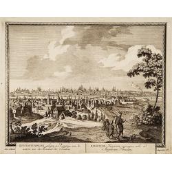
Konstantinopolien, gelegen../ Byzantium Turcarum..
From Schenk's Hecatompolis sive Totius Terrarum Oppida Nobiliora Centrum.. , a collection of 100 views, dedicated to the 14-year old Prussian crown prince, the later king...
Date: Amsterdam, 1702
Selling price: ????
Please login to see price!
Sold in 2009
[ Title page ] Le Theatre de la Guerre dessus et aux environs du Rhein.
Title page with a military scene that took place in the Rhine region during the Spanish Succession War of 1701-1714. The regions involved: Alsace, Cologne and Lorraine.Fr...
Date: Paris, 1702
Selling price: ????
Please login to see price!
Sold in 2016
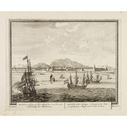
Batavia, gelegen op het eiland Java een beroemde volkplanting der Batavieren.
Town-view of Batavia (now-a-days Jakarta) seen from the harbor. On the foreground many large Dutch V.O.C. vessels.From Schenk's "Hecatompolis sive Totius Terrarum Op...
Date: Amsterdam, 1702
Selling price: ????
Please login to see price!
Sold in 2009
Carte des Provinces Unies des Pays Bas
Map of the United Provinces of the Netherlands and northern Belgium.
Date: Paris, 1702
Selling price: ????
Please login to see price!
Sold in 2010
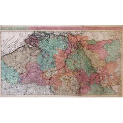
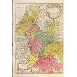
Theatre de la Guerre dans les Pais-Bas, et Lieux circonvoisins, qui Represente les Electorates de Cologne, de Treves & de Mayence?
Detailed map showing northern French region of Champagne, Belgium and eastern Germany. Includes the cities of Frankfurt (on lower right edge), Luxembourg, Brugge, Brussel...
Date: Amsterdam, 1702
Selling price: ????
Please login to see price!
Sold in 2010
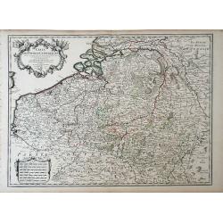
Carte des Pays Bas Catholiques. . .
Map of the Spanish, or Catholic Netherlands - a section of the Low Countries controlled by Spain from the 16th to 18th centuries. The map depicts areas from the Champagne...
Date: Paris, 1702
Selling price: ????
Please login to see price!
Sold in 2010
Le Cours De La Riviere Du Rhein depuis sa Source jusques a son Emboucheure ou sont distingues Tous Les Estats et Souverainetes
Colorful map of northeastern France and western Germany following the Rhine River from the North Sea and United Provinces (Netherlands) south, published by Pierre Mortier...
Date: Amsterdam, c. 1702
Selling price: ????
Please login to see price!
Sold in 2010
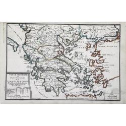
Grece Moderne ou Partie Meridionale de la Turquie en Europe. . .
Small scale, detailed map of Greece, the northern region of Crete, and the eastern coast of Asia Minor by French cartographer Nicholas de Fer.. A bordered title cartouche...
Date: Paris, 1702
Selling price: ????
Please login to see price!
Sold in 2010
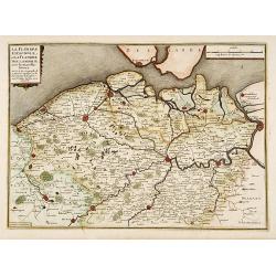
La Flandre espagnole, et la Flandre hollandoise..
Detailed map of Flanders distinguishing the part in the past under Spanish domination from that under Dutch domination. Showing Bruges, Gand, Antwerp.Engraved by F.Starck...
Date: Paris 1703
Selling price: ????
Please login to see price!
Sold
![[map of South East Asia ]](/uploads/cache/31872-250x250.jpg)
![Bandel, de Reede van de vermaerde Koopstadt Arrakan. [Chittagong]](/uploads/cache/32894-250x250.jpg)
![[Title page] Theatri Europaei, continu ati Vierzehender Theil. . .](/uploads/cache/37253-250x250.jpg)

![Bandel, de Reede van de vermaerde Koopstadt Arrakan. [Chittagong]](/uploads/cache/24998-250x250.jpg)
![[ Title page ] Le Theatre de la Guerre dessus et aux environs du Rhein.](/uploads/cache/27514-250x250.jpg)
