Browse Listings

Plan d'une partie de la Terre Napoleon (Nouvelle-Hollande) par M. M. H. Freycinet et Bernier, an 1802. [with] Plan des Iles Josephine et de la Baie Murat (a la Terre Napoleon, Nouvelle-Hollande) . . .
1811 FREYCINET, M.L. - Plan d'une partie de la Terre Napoleon (Nouvelle-Hollande) par M. M. H. Freycinet et Bernier, an 1802. [with] Plan des Iles Josephine et de la B...
Date: Paris, Langois, 1811
Selling price: ????
Please login to see price!
Sold in 2017
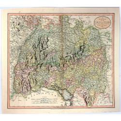
A New Map of the Circle of Swabia, from the Latest Authorities
1811 CARY, J. - A New Map of the Circle of Swabia, from the Latest Authorities
Date: London, 1811
Selling price: ????
Please login to see price!
Sold in 2016
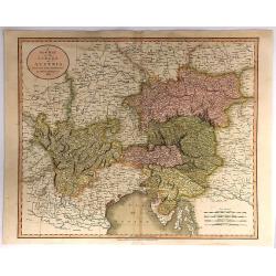
A New Map of the Circle of Austria, From the Latest Authorities . . .
1811 CARY, J. - A New Map of the Circle of Austria, From the Latest Authorities . . .
Date: London, 1811
Selling price: ????
Please login to see price!
Sold in 2018
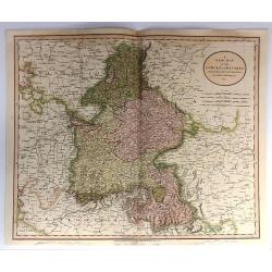
A New Map of the Circle of Bavaria, From the Latest Authorities . . .
1811 CARY, J. - A New Map of the Circle of Bavaria, From the Latest Authorities . . .
Date: Paris, 1811
Selling price: ????
Please login to see price!
Sold in 2017
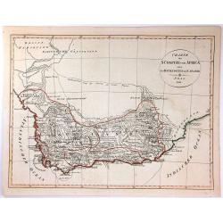
Charte der Sudspize von Africa oder des Hottentotten und Caplands.
1811 BARROW, J. - Charte der Sudspize von Africa oder des Hottentotten und Caplands.
Date: Prague, 1811
Selling price: ????
Please login to see price!
Sold in 2016
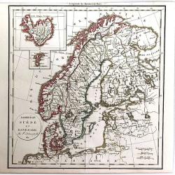
Norwege, Suede et Danemark.
1811 DELAMARCHE, C.-F. - Norwege, Suede et Danemark.
Date: Paris, 1811
Selling price: ????
Please login to see price!
Sold in 2016
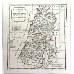
Judee ou Terre Sainte.
1811 DE VAUGONDY, G. R. / DELAMARCHE, C. F. - Judee ou Terre Sainte.
Date: Paris, ca. 1811
Selling price: ????
Please login to see price!
Sold in 2016
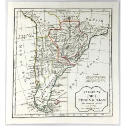
Paraguay, Chili, Terre Magellan. . .
1811 DE VAUGONDY, G. R. / DELAMARCHE, C. F. - Paraguay, Chili, Terre Magellan. . .
Date: Paris, ca. 1811
Selling price: ????
Please login to see price!
Sold in 2016

A New Map of the Kingdom of Prussia ...
1811 CARY, J. - A New Map of the Kingdom of Prussia ...
Date: London, 1811
Selling price: ????
Please login to see price!
Sold in 2016
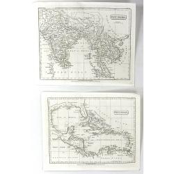
West Indies & East Indies (2 Maps)
1811 PINKERTON, J. - West Indies & East Indies (2 Maps)
Date: London, 1811
Selling price: ????
Please login to see price!
Sold in 2016
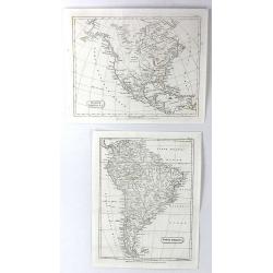
North America & South America (2 Maps)
1811 PINKERTON, J. - North America & South America (2 Maps)
Date: London, 1811
Selling price: ????
Please login to see price!
Sold in 2016
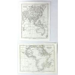
Africa & Asia (2 Maps)
1811 PINKERTON, J. - Africa & Asia (2 Maps)
Date: London, 1811
Selling price: ????
Please login to see price!
Sold in 2016
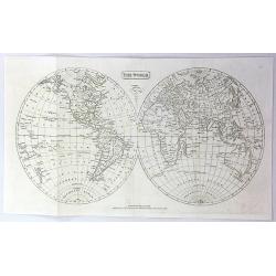
The World
1811 PINKERTON, J. - The World
Date: London, 1811
Selling price: ????
Please login to see price!
Sold in 2016
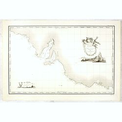
Carte Generale de la Terre Napoleon (a la Nouvelle Hollande)... par M.L. Freycinet an 1808
1811 FREYCINET, M.L. - Carte Generale de la Terre Napoleon (a la Nouvelle Hollande)... par M.L. Freycinet an 1808
Date: Paris, after 1811
Selling price: ????
Please login to see price!
Sold in 2016
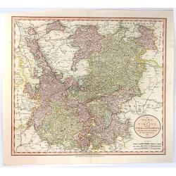
A New Map of the Circles of the Upper and Lower Rhine, from the Latest Authorities
1811 CARY, J. - A New Map of the Circles of the Upper and Lower Rhine, from the Latest Authorities
Date: London, 1811
Selling price: ????
Please login to see price!
Sold in 2016
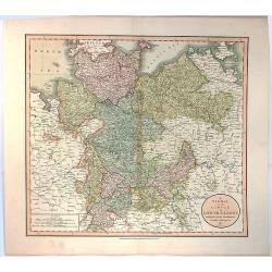
A New Map of the Circle of Lower Saxony, from the Latest Authorities.
1811 CARY, J. - A New Map of the Circle of Lower Saxony, from the Latest Authorities.
Date: London, 1811
Selling price: ????
Please login to see price!
Sold in 2016
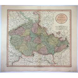
A New Map of Bohemia and Moravia from the Latest Authorities.
1811 CARY, J. - A New Map of Bohemia and Moravia from the Latest Authorities.
Date: London, 1811
Selling price: ????
Please login to see price!
Sold in 2017
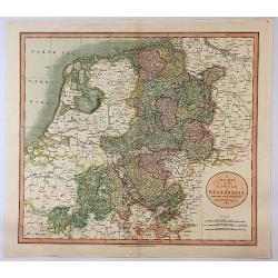
A New Map of the Circle of Westphalia From the Latest Authorities.
1811 CARY, J. - A New Map of the Circle of Westphalia From the Latest Authorities.
Date: London, 1811
Selling price: ????
Please login to see price!
Sold in 2017
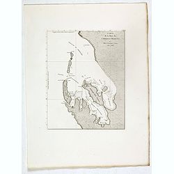
Carte de la Baie des Chiens-Marins par M. M. L. Freycinet et Faure, 1801 et 1803.
1811 FREYCINET, M.L. - Carte de la Baie des Chiens-Marins par M. M. L. Freycinet et Faure, 1801 et 1803.
Date: Paris, Langois, 1811
Selling price: ????
Please login to see price!
Sold in 2017

Plan des Iles Louis-Napoleon et de la Riviere des Cygnes (Terres de Leuwin et d'Edels) [cartographic material] / par M. M. L. Freycinet et Heirisson, ans 1801 et 1803.
1811 FREYCINET, M.L. - Plan des Iles Louis-Napoleon et de la Riviere des Cygnes (Terres de Leuwin et d'Edels) [cartographic material] / par M. M. L. Freycinet et Heiri...
Date: Paris, Langois, 1811
Selling price: ????
Please login to see price!
Sold in 2017

Plan de la Baie Laplace . . . [with] Esquisse du Port Western (a la Terre Napoleon, Nle. Hollande) . . .[with] Plan des Iles Forestier (a la Nouvelle-Hollande). . . [with] Esquisse du Port Champagny (a la Terre Napoleon) . . .
1811 FREYCINET, M.L. - Plan de la Baie Laplace . . . [with] Esquisse du Port Western (a la Terre Napoleon, Nle. Hollande) . . .[with] Plan des Iles Forestier (a la Nou...
Date: Paris, Langois, 1811
Selling price: ????
Please login to see price!
Sold in 2017

Plan du port du Roi-George, à la terre de Nuyts. . . [with] Plan de la baie du Geographe, à la terre de Leuwin. . .
1811 FREYCINET, M.L. - Plan du port du Roi-George, à la terre de Nuyts. . . [with] Plan de la baie du Geographe, à la terre de Leuwin. . .
Date: Paris, Langois, 1811
Selling price: ????
Please login to see price!
Sold in 2017

Plan des Iles Jerome (Terre Napoleon). . . [with] Plan des Iles Berthier (Terre Napoleon). . . [with] Plan du comte de Cumberland (Nouvelle-Galles du sud) d'apres les cartes Anglaises, mais assujetti aux observations Francaises.
1811 FREYCINET, M.L. - Plan des Iles Jerome (Terre Napoleon). . . [with] Plan des Iles Berthier (Terre Napoleon). . . [with] Plan du comte de Cumberland (Nouvelle-Gall...
Date: Paris, Langois, 1811
Selling price: ????
Please login to see price!
Sold in 2017

Plan de l'Ile Decres (à la Terre Napoleon, Nouvelle-Hollande) par M. M. L. et H. Freycinet et Boullanger, 1802 et 1803. [with] Esquisse des Iles de l'Institut . . .
1811 FREYCINET, M.L. - Plan de l'Ile Decres (à la Terre Napoleon, Nouvelle-Hollande) par M. M. L. et H. Freycinet et Boullanger, 1802 et 1803. [with] Esquisse des Iles...
Date: Paris, Langois, 1811
Selling price: ????
Please login to see price!
Sold in 2017

Carte generale des Golfes Bonaparte et Josephine (a la Terre Napoleon, Nouvelle-Hollande) [cartographic material] / par M. M. L. Freycinet et Boullanger, 1803.
1811 FREYCINET, M.L. - Carte generale des Golfes Bonaparte et Josephine (a la Terre Napoleon, Nouvelle-Hollande) [cartographic material] / par M. M. L. Freycinet et Bo...
Date: Paris, Langois, 1811
Selling price: ????
Please login to see price!
Sold in 2017

Plan d'une partie de la Terre Napoleon (Nouvelle-Hollande) par M. M. H. Freycinet et Bernier, an 1802. [with] Plan des Iles Josephine et de la Baie Murat (a la Terre Napoleon, Nouvelle-Hollande) . . .
1811 FREYCINET, M.L. - Plan d'une partie de la Terre Napoleon (Nouvelle-Hollande) par M. M. H. Freycinet et Bernier, an 1802. [with] Plan des Iles Josephine et de la B...
Date: Paris, Langois, 1811
Selling price: ????
Please login to see price!
Sold in 2017

Plan des Iles Hunter par M. M. Freycinet et Boullanger, an 1802. [with] Plan de l'Ile Maria par M. Boullanger, an 1802. [with] Plan de l'Ile King par M. Faure, an 1802. [with] Plan d'une partie de l'Archipel Bonaparte (a la Nouvelle-Hollande)
1811 FREYCINET, M.L. - Plan des Iles Hunter par M. M. Freycinet et Boullanger, an 1802. [with] Plan de l'Ile Maria par M. Boullanger, an 1802. [with] Plan de l'Ile Kin...
Date: Paris, Langois, 1811
Selling price: ????
Please login to see price!
Sold in 2017

Plan de la partie sud des Iles Furneaux d'apres le Capne. Flinders, en 1798, et assujetti ... [together with] Carte d'une partie de la cote orientale de la terre de Diemen / par M. M. Boullanger et Faure en 1802.
1811 FREYCINET, M.L. - Plan de la partie sud des Iles Furneaux d'apres le Capne. Flinders, en 1798, et assujetti ... [together with] Carte d'une partie de la cote orie...
Date: Paris, Langois, 1811
Selling price: ????
Please login to see price!
Sold in 2017

Carte generale de la partie sud-est de la Terre de Diemen [cartographic material] / d'apres les travaux de M. M. Beautemps-Beaupre, en 1792 et 1793, L. et H. Freycinet, Boullanger et Faure en 1802.
1811 FREYCINET, M.L. - Carte generale de la partie sud-est de la Terre de Diemen [cartographic material] / d'apres les travaux de M. M. Beautemps-Beaupre, en 1792 et 1...
Date: Paris, Langois, 1811
Selling price: ????
Please login to see price!
Sold in 2017
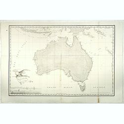
Carte Generale de la Nouvelle Hollande.
1811 FREYCINET, M.L. - Carte Generale de la Nouvelle Hollande.
Date: Paris, 1811
Selling price: ????
Please login to see price!
Sold in 2017
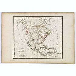
Amérique septentrionale.
1811 DELAMARCHE, C.-F. - Amérique septentrionale.
Date: Paris, 1811
Selling price: ????
Please login to see price!
Sold in 2017
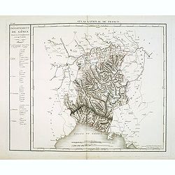
Département de Gênes Divisé en 5 Arrondissemens et en 41 cantons.
1811 CHANLAIRE, P.G. - Département de Gênes Divisé en 5 Arrondissemens et en 41 cantons.
Date: Paris, 1790-1811
Selling price: ????
Please login to see price!
Sold in 2018
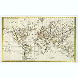
The World on Mercator's Projection.
1811 ANONYMOUS. - The World on Mercator's Projection.
Date: London, ca 1811
Selling price: ????
Please login to see price!
Sold in 2020

Carte generale de la partie sud-est de la Terre de Diemen [cartographic material] / d'apres les travaux de M. M. Beautemps-Beaupre, en 1792 et 1793, L. et H. Freycinet, Boullanger et Faure en 1802.
1811 FREYCINET, M.L. - Carte generale de la partie sud-est de la Terre de Diemen [cartographic material] / d'apres les travaux de M. M. Beautemps-Beaupre, en 1792 et 1...
Date: Paris, Langois, 1811
Selling price: ????
Please login to see price!
Sold in 2019

Plan de la partie sud des Iles Furneaux d'apres le Capne. Flinders, en 1798, et assujetti ... [together with] Carte d'une partie de la cote orientale de la terre de Diemen / par M. M. Boullanger et Faure en 1802.
1811 FREYCINET, M.L. - Plan de la partie sud des Iles Furneaux d'apres le Capne. Flinders, en 1798, et assujetti ... [together with] Carte d'une partie de la cote orie...
Date: Paris, Langois, 1811
Selling price: ????
Please login to see price!
Sold in 2019

Plan des Iles Hunter ... [with] Plan de l'Ile Maria par M. Boullanger, an 1802. [with] Plan de l'Ile King par M. Faure, an 1802. [with] Plan d'une partie de l'Archipel Bonaparte
1811 FREYCINET, M.L. - Plan des Iles Hunter ... [with] Plan de l'Ile Maria par M. Boullanger, an 1802. [with] Plan de l'Ile King par M. Faure, an 1802. [with] Plan d'u...
Date: Paris, Langois, 1811
Selling price: ????
Please login to see price!
Sold in 2019

Plan d'une partie de la Terre Napoleon (Nouvelle-Hollande) par M. M. H. Freycinet et Bernier, an 1802. [with] Plan des Iles Josephine et de la Baie Murat (a la Terre Napoleon, Nouvelle-Hollande) . . .
1811 FREYCINET, M.L. - Plan d'une partie de la Terre Napoleon (Nouvelle-Hollande) par M. M. H. Freycinet et Bernier, an 1802. [with] Plan des Iles Josephine et de la B...
Date: Paris, Langois, 1811
Selling price: ????
Please login to see price!
Sold in 2019

Carte generale des Golfes Bonaparte et Josephine (a la Terre Napoleon, Nouvelle-Hollande) [cartographic material] / par M. M. L. Freycinet et Boullanger, 1803.
1811 FREYCINET, M.L. - Carte generale des Golfes Bonaparte et Josephine (a la Terre Napoleon, Nouvelle-Hollande) [cartographic material] / par M. M. L. Freycinet et Bo...
Date: Paris, Langois, 1811
Selling price: ????
Please login to see price!
Sold in 2019

Plan de l'Ile Decres (à la Terre Napoleon, Nouvelle-Hollande) par M. M. L. et H. Freycinet et Boullanger, 1802 et 1803. [with] Esquisse des Iles de l'Institut . . .
1811 FREYCINET, M.L. - Plan de l'Ile Decres (à la Terre Napoleon, Nouvelle-Hollande) par M. M. L. et H. Freycinet et Boullanger, 1802 et 1803. [with] Esquisse des Iles...
Date: Paris, Langois, 1811
Selling price: ????
Please login to see price!
Sold in 2019

Plan des Iles Jerome (Terre Napoleon). . . [with] Plan des Iles Berthier (Terre Napoleon). . . [with] Plan du comte de Cumberland (Nouvelle-Galles du sud) d'apres les cartes Anglaises, mais assujetti aux observations Francaises.
1811 FREYCINET, M.L. - Plan des Iles Jerome (Terre Napoleon). . . [with] Plan des Iles Berthier (Terre Napoleon). . . [with] Plan du comte de Cumberland (Nouvelle-Gall...
Date: Paris, Langois, 1811
Selling price: ????
Please login to see price!
Sold in 2019

Plan du port du Roi-George, à la terre de Nuyts. . . [with] Plan de la baie du Geographe, à la terre de Leuwin. . .
1811 FREYCINET, M.L. - Plan du port du Roi-George, à la terre de Nuyts. . . [with] Plan de la baie du Geographe, à la terre de Leuwin. . .
Date: Paris, Langois, 1811
Selling price: ????
Please login to see price!
Sold in 2019

Plan de la Baie Laplace . . . [with] Esquisse du Port Western (a la Terre Napoleon, Nle. Hollande) . . .[with] Plan des Iles Forestier (a la Nouvelle-Hollande). . . [with] Esquisse du Port Champagny (a la Terre Napoleon) . . .
1811 FREYCINET, M.L. - Plan de la Baie Laplace . . . [with] Esquisse du Port Western (a la Terre Napoleon, Nle. Hollande) . . .[with] Plan des Iles Forestier (a la Nou...
Date: Paris, Langois, 1811
Selling price: ????
Please login to see price!
Sold in 2021

Plan des Iles Louis-Napoleon et de la Riviere des Cygnes (Terres de Leuwin et d'Edels) [cartographic material] / par M. M. L. Freycinet et Heirisson, ans 1801 et 1803.
1811 FREYCINET, M.L. - Plan des Iles Louis-Napoleon et de la Riviere des Cygnes (Terres de Leuwin et d'Edels) [cartographic material] / par M. M. L. Freycinet et Heiri...
Date: Paris, Langois, 1811
Selling price: ????
Please login to see price!
Sold in 2019
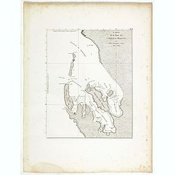
Carte de la Baie des Chiens-Marins par M. M. L. Freycinet et Faure, 1801 et 1803.
1811 FREYCINET, M.L. - Carte de la Baie des Chiens-Marins par M. M. L. Freycinet et Faure, 1801 et 1803.
Date: Paris, Langois, 1811
Selling price: ????
Please login to see price!
Sold in 2020
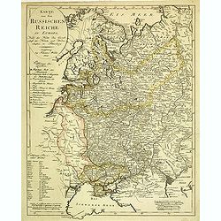
Karte von dem Russischen Reiche in Europa : Nach der Karte der Gesellschaft der Ku¨nste und Wissenschaften in Petersburg.
1812 WALCH, J. - Karte von dem Russischen Reiche in Europa : Nach der Karte der Gesellschaft der Ku¨nste und Wissenschaften in Petersburg.
Date: Augsburg, ca. 1812
Selling price: ????
Please login to see price!
Sold in 2012
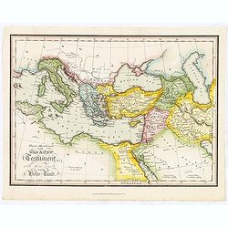
Places Mentioned in the Old & New Testament with those remote from the Holy Land.
1812 MATHEWS & LEIGH - Places Mentioned in the Old & New Testament with those remote from the Holy Land.
Date: London, 1812
Selling price: ????
Please login to see price!
Sold in 2018
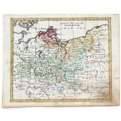
Obersachsischer Kreis Nordlicher Theil. (Brandenberg & Pommern)
1812 WALCH, J. - Obersachsischer Kreis Nordlicher Theil. (Brandenberg & Pommern)
Date: Augsburg, 1812
Selling price: ????
Please login to see price!
Sold in 2016
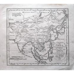
Charte von China...
1812 ANONYMOUS - Charte von China...
Date: Prague, 1812
Selling price: ????
Please login to see price!
Sold in 2014
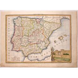
Espagne et Portugal.
1812 GIRALDON - Espagne et Portugal.
Date: Paris, 1812
Selling price: ????
Please login to see price!
Sold in 2015
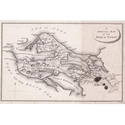
A Special Map of the Isle of Taman.
1812 RUSSEL, J. - A Special Map of the Isle of Taman.
Date: London, 1812
Selling price: ????
Please login to see price!
Sold in 2014
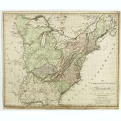
Die Vereinigten Staaten von Nordamerika nach Arrowsmith und Lewis Karten vom Jahre 1795 und 1796. . .
1812 SCHNEIDER / WEIGEL - Die Vereinigten Staaten von Nordamerika nach Arrowsmith und Lewis Karten vom Jahre 1795 und 1796. . .
Date: Nuremberg, 1812
Selling price: ????
Please login to see price!
Sold in 2016
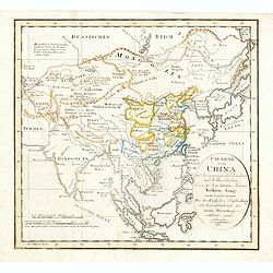
Charte von China und den angränzenden Ländern und Völkerschaften so wie den letzten Kaiser Tschien-Long. . .
1812 ANONYMOUS - Charte von China und den angränzenden Ländern und Völkerschaften so wie den letzten Kaiser Tschien-Long. . .
Date: Prague, 1812
Selling price: ????
Please login to see price!
Sold in 2015
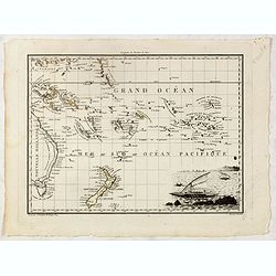
Océanique orient.
1812 TARDIEU, J-B. - Océanique orient.
Date: Paris, 1812
Selling price: ????
Please login to see price!
Sold in 2015
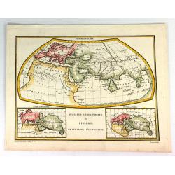
Systemes Geographiques de Ptolemee, Strabon et de'Eratosthene.
1812 LAPIE, P. - Systemes Geographiques de Ptolemee, Strabon et de'Eratosthene.
Date: Paris, 1812
Selling price: ????
Please login to see price!
Sold in 2016
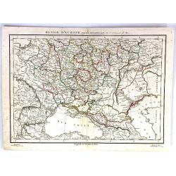
Russie D'Europe (Partie Neridionale)
1812 DELAMARCHE, C.-F. - Russie D'Europe (Partie Neridionale)
Date: Paris, 1812
Selling price: ????
Please login to see price!
Sold in 2016
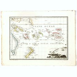
Océanique orient.
1812 TARDIEU, J-B. - Océanique orient.
Date: Paris, 1812
Selling price: ????
Please login to see price!
Sold in 2016
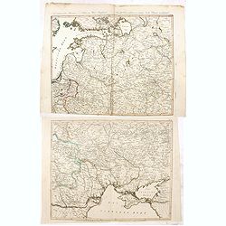
Neue militairische Situations Karte von West-Russland ... (2 sheets)
1812 CAMPE, F. - Neue militairische Situations Karte von West-Russland ... (2 sheets)
Date: Nürnberg, 1812
Selling price: ????
Please login to see price!
Sold in 2016
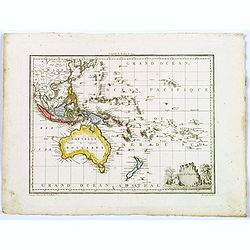
Oceanique.
1812 MALTE BRUN, C. - Oceanique.
Date: Paris, 1812
Selling price: ????
Please login to see price!
Sold in 2017

[2 sheet wall map] Carte de l'empire français et de l'Allemagne, où l'on a marqué en lieues respectives, les postes de ces deux grandes parties de l'Europe / dressée par Hérisson, . .
1812 HERISSON, E. - [2 sheet wall map] Carte de l'empire français et de l'Allemagne, où l'on a marqué en lieues respectives, les postes de ces deux grandes parties de ...
Date: Paris, Basset, 1812
Selling price: ????
Please login to see price!
Sold
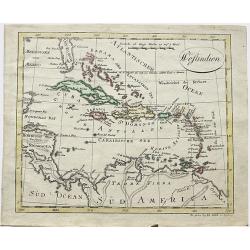
Westindien.
1812 WALCH, J. - Westindien.
Date: Augsburg, 1812
Selling price: ????
Please login to see price!
Sold in 2018
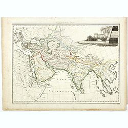
Asie Ancienne.
1812 MALTE BRUN, C. - Asie Ancienne.
Date: Paris, 1812
Selling price: ????
Please login to see price!
Sold in 2017
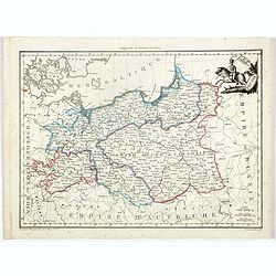
Grand Duche de Varsovie. Prusse.
1812 MALTE BRUN, C. - Grand Duche de Varsovie. Prusse.
Date: Paris, 1812
Selling price: ????
Please login to see price!
Sold in 2023
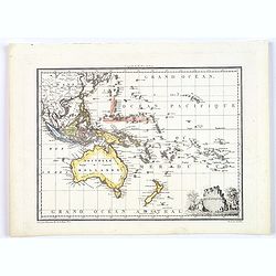
Oceanique.
1812 MALTE BRUN, C. - Oceanique.
Date: Paris, 1812
Selling price: ????
Please login to see price!
Sold in 2018
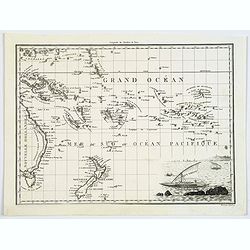
Océanique orient.
1812 TARDIEU, J-B. - Océanique orient.
Date: Paris, 1812
Selling price: ????
Please login to see price!
Sold in 2017
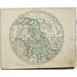
Halb = Kugel der Erde nach Sicklers Theorie der vulkanischen Linien.
1812 WALCH, J. - Halb = Kugel der Erde nach Sicklers Theorie der vulkanischen Linien.
Date: Augsburg, 1812
Selling price: ????
Please login to see price!
Sold in 2018
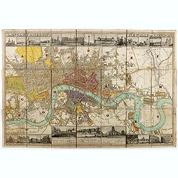
Langley & Belch's New Map of London.
1812 STEPHENS, D. - Langley & Belch's New Map of London.
Date: London, 1812
Selling price: ????
Please login to see price!
Sold in 2020
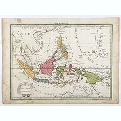
Océanique Occidentale.
1812 LAPIE, P. - Océanique Occidentale.
Date: Paris, 1809/1812
Selling price: ????
Please login to see price!
Sold in 2018
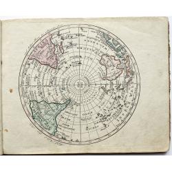
Halb = Kugel der Erde nach Sicklers Theorie der vulkanischen Linien.
1812 WALCH, J. - Halb = Kugel der Erde nach Sicklers Theorie der vulkanischen Linien.
Date: Augsburg, 1812
Selling price: ????
Please login to see price!
Sold in 2018
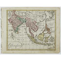
Ostindien.
1812 WALCH, J. - Ostindien.
Date: Augsburg, 1812
Selling price: ????
Please login to see price!
Sold in 2018
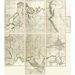
Carte des Europaisch- und eines Theils des Asiatisch russischen Reichs, nach den Neuesten Astronomischen Ortsbestimungen, den Grossen Atlas und Andern Karten des Russich-Kaiserl: Karten-Depots Verfasst ...
1812 DANIELOW, I. / MOLLO, T. - Carte des Europaisch- und eines Theils des Asiatisch russischen Reichs, nach den Neuesten Astronomischen Ortsbestimungen, den Grossen A...
Date: Vienna, T. Mollo, 1812
Selling price: ????
Please login to see price!
Sold in 2018
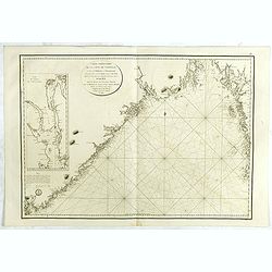
Carte particulière de la côte de Norwége, à l'est de Flekkeröe et Christiansand, avec partie de la côte de Suède jusqu'à. . .
1812 LE DÉPÔT GÉNÉRAL DE LA MARINE - Carte particulière de la côte de Norwége, à l'est de Flekkeröe et Christiansand, avec partie de la côte de Suède jusqu'à. . ....
Date: Paris, 1812
Selling price: ????
Please login to see price!
Sold in 2018
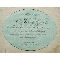
Allgemeiner Atlas Nach den bewährsten Hülfsmitteln und astronomischen Ortsbestimungen. . .
1812 WALCH, J. - Allgemeiner Atlas Nach den bewährsten Hülfsmitteln und astronomischen Ortsbestimungen. . .
Date: Augsburg, 1812
Selling price: ????
Please login to see price!
Sold in 2020
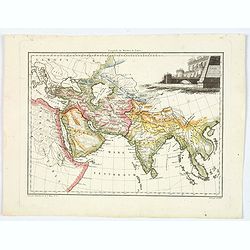
Asie Ancienne.
1812 MALTE BRUN, C. - Asie Ancienne.
Date: Paris, 1812
Selling price: ????
Please login to see price!
Sold in 2020
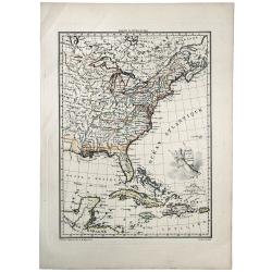
ETATS UNIS ET GRANDES ANTILLES.
1812 LAPIE, M. - ETATS UNIS ET GRANDES ANTILLES.
Date: Paris, 1812
Selling price: ????
Please login to see price!
Sold in 2019
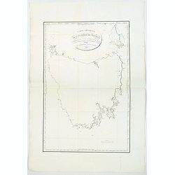
Carte Generale de la Terre de Diemen. . .
1812 FREYCINET, M.L. - Carte Generale de la Terre de Diemen. . .
Date: Paris 1812
Selling price: ????
Please login to see price!
Sold in 2019
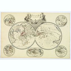
Mappe-Mondes sur Diverses Projections.
1812 MALTE BRUN, C. - Mappe-Mondes sur Diverses Projections.
Date: Paris, 1812
Selling price: ????
Please login to see price!
Sold in 2020

A Special Map of the Isle of Taman [and a map of the Sea of Azof].
1812 RUSSELL, J.C. - A Special Map of the Isle of Taman [and a map of the Sea of Azof].
Date: London, ca 1812
Selling price: ????
Please login to see price!
Sold in 2020
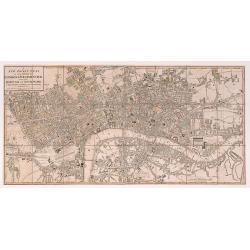
A New Pocket Plan of the Cities of London & Westminster with the Borough of Southwark: Comprehending the New Buildings and other Alterations to the Year 1812.
1812 FADEN, W. - A New Pocket Plan of the Cities of London & Westminster with the Borough of Southwark: Comprehending the New Buildings and other Alterations to th...
Date: London 1812
Selling price: ????
Please login to see price!
Sold in 2020

Plan du Port Napoleon a l'Ile de France [picture] / dresse sous la direction de Mr. L.F. par Mr. Hubert Brue, d'apres plusieurs plans inedits et les observations de l'Abbe de la Caille.
1812 BRUÉ, A.H. - Plan du Port Napoleon a l'Ile de France [picture] / dresse sous la direction de Mr. L.F. par Mr. Hubert Brue, d'apres plusieurs plans inedits et les ...
Date: Paris, 1812
Selling price: ????
Please login to see price!
Sold in 2021
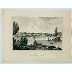
General View of Quebec.
1812 COOKE, G. - General View of Quebec.
Date: London, 1812
Selling price: ????
Please login to see price!
Sold in 2021
