Browse Listings in Europe
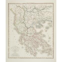
Grecia Antiqua . . .
Detailed map of Ancient Greece, prepared by A. H. Basset, rue Saint-Jacques, no. 64, Paris and published in Atlas classique et Universel de Géographie . . . .The engrave...
Date: Paris, A.H. Basset, 1828
Selling price: ????
Please login to see price!
Sold in 2022
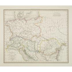
Germania pannonia d'Acia et Sarmatia ad Juventutis Institutionem . . .
Map of Ancient central Europe, prepared by A. H. Basset, rue Saint-Jacques, no. 64, Paris and published in Atlas classique et Universel de Géographie . . . .The engraver...
Date: Paris, A.H. Basset, 1828
Selling price: ????
Please login to see price!
Sold in 2009
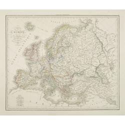
Carte de l'Europe . . .
Detailed map of Europe, prepared by A. H. Basset, rue Saint-Jacques, no. 64, Paris and published in Atlas classique et Universel de Géographie . . . .The engraver of the...
Date: Paris, A.H. Basset, 1828
Selling price: ????
Please login to see price!
Sold in 2009
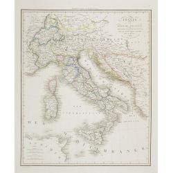
Italie et Royaume d'Illyrie . . .
Detailed map of Italy, prepared by A. H. Basset, rue Saint-Jacques, no. 64, Paris and published in Atlas classique et Universel de Géographie . . . .The engraver of the ...
Date: Paris, A.H. Basset, 1828
Selling price: ????
Please login to see price!
Sold in 2023
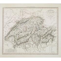
Carte routière de la Suisse . . .
Road map of Switzerland, prepared by A. H. Basset, rue Saint-Jacques, no. 64, Paris and published in Atlas classique et Universel de Géographie . . . .The engraver of th...
Date: Paris, A.H. Basset, 1828
Selling price: ????
Please login to see price!
Sold
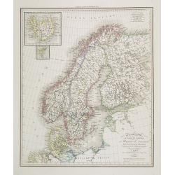
Scandinavie ou Suède et Norwège et Royaume de Danemark . . .
Detailed map of Sweden, Norway, Finland and Denmark, prepared by A. H. Basset, rue Saint-Jacques, no. 64, Paris and published in Atlas classique et Universel de Géograph...
Date: Paris, A.H. Basset, 1828
Selling price: ????
Please login to see price!
Sold in 2010
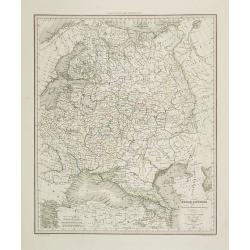
Russie d'Europe . . .
Detailed map of the European part of Russia, including the Black Sea region, prepared by A. H. Basset, rue Saint-Jacques, no. 64, Paris and published in Atlas classique e...
Date: Paris, A.H. Basset, 1828
Selling price: ????
Please login to see price!
Sold in 2009
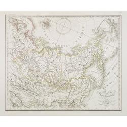
Russie d'Asie. . .
Detailed map of Siberia, China and part of Alaska, prepared by A. H. Basset, rue Saint-Jacques, no. 64, Paris and published in Atlas classique et Universel de Géographie...
Date: Paris, A.H. Basset, 1828
Selling price: ????
Please login to see price!
Sold in 2010
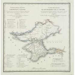
Carte générale du gouvernement de la Tauride. . .
Very rare map of Crimea with title in Russian and French from the atlas by Vasilii Petrovich PIADYSHEV [PIADISCHEFF] (1769-1836 Functionary of the 6th Rank.) : Geografice...
Date: St.Petersburg, Topographic Depot, 1828
Selling price: ????
Please login to see price!
Sold in 2010
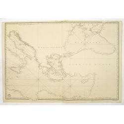
(Chart centered on the Eastern Mediterranean and Black Sea.)
Very detailed chart centered on Greece and Turkey, with the Black Sea and Southern part of Italy. Engraved by Besançon, prepared by Charles-François Beautemps-Beaupré....
Date: Paris, c.1828
Selling price: ????
Please login to see price!
Sold in 2016
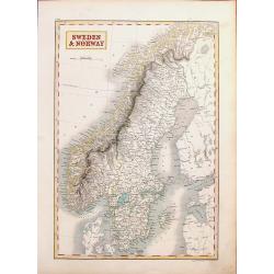
Sweden & Norway.
A striking hand-colored engraving featuring Sweden & Norway. It was engraved by Syd Hall and published in "A NEW GENERAL ATLAS" by Longman, Rees, Brown &...
Date: London, 1828
Selling price: ????
Please login to see price!
Sold in 2018
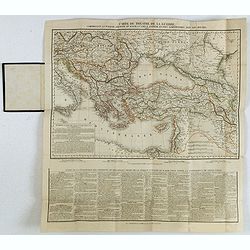
Carte du théatre de la guerre, comprenant la Turquie d'Europe et d'Asie, la Grèce entière et pays limitrophes, avec les routes. . .
Rare map of the Black Sea are, with the Caucasus, Turkey, Greece and Ukraine. Printed from two copper plates. Lower part containing "Suite de la description des prov...
Date: Paris, H. Langlois, fils, 1828
Selling price: ????
Please login to see price!
Sold in 2020
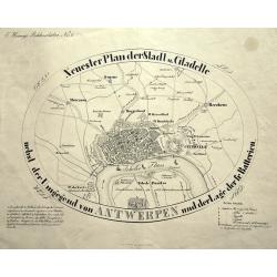
Neuester Plan der Stadt und Citadelle nebst der Umgegend von ANTWERPEN und der Lage der fr. Batterien.
Curious and apparently rare plan of Antwerp and surroundings, published in "Hennig's Bilderschätze". With two keys 1-15 and 1-6 identifying buildings and forti...
Date: Prague, ca. 1828
Selling price: ????
Please login to see price!
Sold in 2015
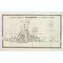
A new plan of Brighton and Kemp-Town.
An attractive and scarce town plan of Brighton and Kemp Town towards the end of the reign of George IV in 1828. You see development all along Kings Road and Marine Parade...
Date: London, 1828
Selling price: ????
Please login to see price!
Sold in 2020
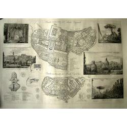
Pianta restaurata del Monte Quirinale.
Famous and rare plan of the Monte Quirinale in Rome. Engraved by Vespignani, designed by Rossini. Large sheet, with 2 detailed plans of the Monte Quirinale and Monte Capi...
Date: Italy, 1827-1829
Selling price: ????
Please login to see price!
Sold in 2011
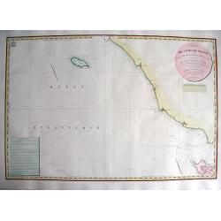
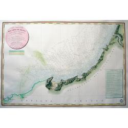
CARTE DES CÔTES DE FRANCE PARTIE COMPRISE ENTRE BAYONNE ET LA CÒTE D'ESPAGNE...
Highly decorative and scarce large-scale engraved seachart of the French and Spanish region at the Bay of Biscay / Coasts of Cantabria. Drawn by Besancon, engraved by Mic...
Date: Paris, 1829
Selling price: ????
Please login to see price!
Sold in 2010
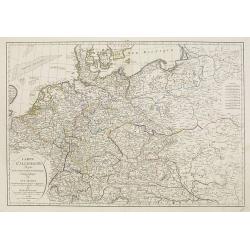
Carte d'Allemagne dressee sur les observations astronomiques et geographiques. . .
Uncommon map published by Dezauche after G. de l'Isle however updated according the Treaty of Paris of 1815, who was signed on 20 November 1815 following the defeat and s...
Date: Paris, 1829
Selling price: ????
Please login to see price!
Sold in 2012
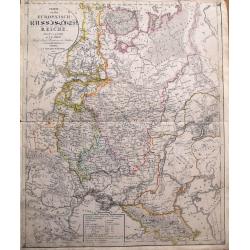
Charte von dem Europaeisch-Russischen Reiche...
Highly detailed map of Eastern Europe, from Finland to the Caspian Sea, centered on Moscow. Includes the Baltic's and the Ukraine. With a legend indicating the number of ...
Date: Leipzig, 1829
Selling price: ????
Please login to see price!
Sold in 2014
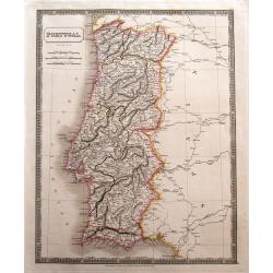
Portugal.
Large and detailed steel-engraved map of Portugal with original outline handcoloring. A fine map, nicely engraved. Extends to show the Spanish cities of Vigo, Truxillo, C...
Date: London, 1829
Selling price: ????
Please login to see price!
Sold in 2014
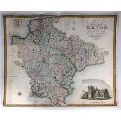
Map of the County of Devon, from an Actual Survey, Made in the Years 1825 & 1826
A very large map of the County of Devon by Christopher Greenwood, published by Greenwood & Co. It has an inset views of Exeter Cathedral and Lundy Island. The brother...
Date: London, 1829
Selling price: ????
Please login to see price!
Sold in 2016
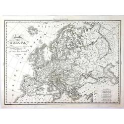
Carta Dell' Europa da Fare d'llustrazione al Nuovo Dizionario Geografico Universale....
A strikingly attractive and detailed copper engraved map of Antonelli's 1829 map of the whole European Continent. This large map provides excellent topographic details on...
Date: Venice, 1829
Selling price: ????
Please login to see price!
Sold in 2016
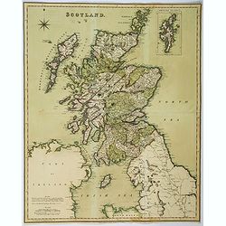
Scotland.
Large folding map of Scotland, published by Henry Teesdale in London. In full body color. Map is detailed with many cities, towns and villages, lochs, main roads, and mou...
Date: London, ca 1829
Selling price: ????
Please login to see price!
Sold in 2018
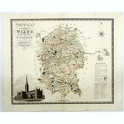
Map of the County of Wilts from an actual survey in the years 1919 & 1820. . .
A superb large scale map of the county of Wiltshire published by the Greenwood brothers. The brothers were surveyors and publishers and undertook the survey of most of th...
Date: London, 1829
Selling price: ????
Please login to see price!
Sold in 2021
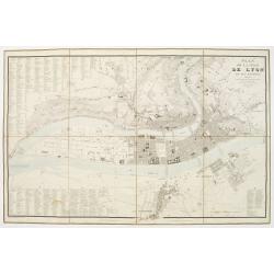
Plan de la Ville de Lyon, et ses environs, réduit d'apres les meilleurs levés, corrigé, augmenté et gravé d'après des plans particuliers et des reconoissances faites sur les lieux.
With the title at upper right, an alphabetical street index at upper left, an index of other features at lower left and right, and a scale of metres at lower right, the r...
Date: Lyon, chez Midan libraire, 1830
Selling price: ????
Please login to see price!
Sold
Vue de Vienne prise du cote du chateau de Schonbrunn.
Spectacular view of Vienna. Engraved by Schwartz, after a design of Hügl. Published by Bannee & Schrot, active in Rue du Mail, Paris.
Date: Paris c.1830
Selling price: ????
Please login to see price!
Sold
[No title] Russland. Gouv. 31. Taurien und 31a das Land der Tschernomorkischen Kosaken.
Map depict the area north of the Black Sea, including the sea of Azov and the cities of Akhmetschet, Kaffa, Jekaterinodar, Kherson, etc.From "W. E. A. von Schliebens...
Date: Leipzig, G. J. Göschen, ca 1825-1830
Selling price: ????
Please login to see price!
Sold in 2013
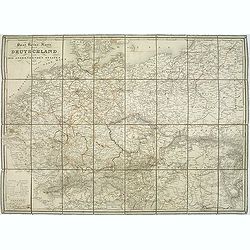
Post Reise Karte durch Deutschlandund die Angraenzenden Staaten. . .
post road maps map of Germany, Poland, the Low Countries, Switzerland and Austria. Folding map dissected in 8 sections, canvas mounted. The map is showing incredible deta...
Date: Vienna, 1830
Selling price: ????
Please login to see price!
Sold in 2011
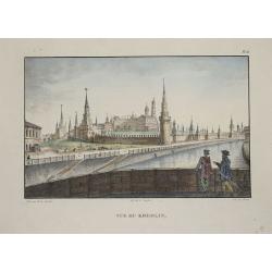
Vue du Kremlin.
Lithography showing the Kremlin in Moscow.
Date: Paris, 1830
Selling price: ????
Please login to see price!
Sold in 2014
Vue intérieure du Kremlin.
Lithographie shows the Kremlin in Moscow.
Date: Paris, 1830
Selling price: ????
Please login to see price!
Sold in 2014
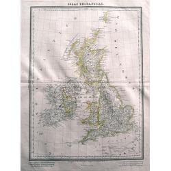
Islas Britanicas.
Very rare Spanish map of the British Isles by Domingo Estrue. With the longitudes east of Madrid. Very detailed map with towns, areas, roads, and many islands shown. Thi...
Date: Madrid, 1830
Selling price: ????
Please login to see price!
Sold in 2014
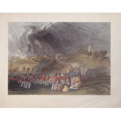
Winchelsea, Sussex.
Hand-colored steel engraving by J. Henshell after J.M.W. Turner featuring a scene of Winchelsea, Sussex.
Date: London, 1830
Selling price: ????
Please login to see price!
Sold in 2016
[No title, showing Majorca, minorca and part of the coast of Algaria.]
Very detailed folding map with map of Majorca, Minorca and part of the coast of Algeria. In upper left Spanish coast with Barcelona.
Date: France, c.1830
Selling price: ????
Please login to see price!
Sold in 2015
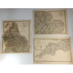
Three S.D.U.K. Maps - England I, England III & England IV
Three detailed maps of England by S.D.U.K. published in London in 1830 by Chapman & Hall and engraved by John Walker. “England I” covers Northumberland, Cumberla...
Date: London, 1830
Selling price: ????
Please login to see price!
Sold in 2016
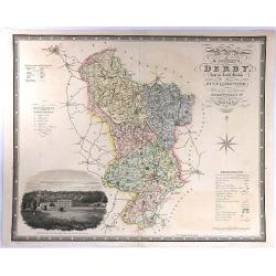
Map of the County of Derby, from an Actual Survey made in the Years 1824 & 1825. By C. & I. Greenwood.
A large map with decorative title at upper right, and a large vignette view of Chatsworth House at lower left. Published by Greenwood & Co. in London in 1830. Engrav...
Date: London, 1830
Selling price: ????
Please login to see price!
Sold in 2016
Lengyel Fold
Small Hungarian map of Poland and Lithuania. Major cities and towns depicted in red, mountains, rivers, woodlands and forests are also highlighted in color.
Date: ca. 1830
Selling price: ????
Please login to see price!
Sold in 2016
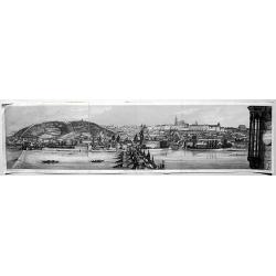
Prag (without a title).
A rare, fascinating view of Prag, from the "Buchhandlung of A. Borroschs", engraved by J. Hyrtl in Vienna, 1830.
Date: Vienna, 1830
Selling price: ????
Please login to see price!
Sold in 2018
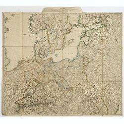
Karte des mittlern und östlichen Europa, von der Seine bis an der Dnieper. . .
Detailed map of the north west of Europe centered on Poland and Lithuania. The map is prepared by D.G. Reymann and published in Berlin by Simon Schropp & Co.A road sy...
Date: Berlin, ca. 1830
Selling price: ????
Please login to see price!
Sold in 2018
British Islands
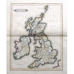
Daniel Lizars fine map of the British Isles, pubslished by his son William Hole Lizars. With main roads, counties, cities, etc.
Date: Edinburgh, ca. 1830
Selling price: ????
Please login to see price!
Sold in 2019
Russian Empire / Chart of the communication between the archipelago and Black Sea.
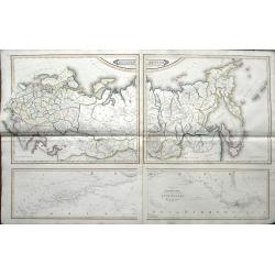
Large 2-sheet map (from 4 plates) of the Russian Empire, pubslished by Daniel Lizars son, William Hole Lizars. The unusual map shows Russia in great detail with many plac...
Date: Edinburgh, ca 1830
Selling price: ????
Please login to see price!
Sold in 2019
Plan de la Bataille de Kliszow.
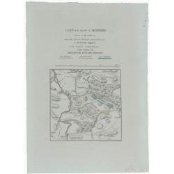
A lithographed plan of the Battle of Kliszów, which took place on July 19, 1702 in Ma Opolska during Great Northern War. The Swedish army, under command of Charles XII,...
Date: Paris, ca 1830
Selling price: ????
Please login to see price!
Sold in 2021
England [sheet IV].
A single sheet (4) from a larger set of maps comprising England & Wales, produced for the Society for the Diffusion of Useful Knowledge (S.D.U.K.) in London in 1830. ...
Date: London, 1830
Selling price: ????
Please login to see price!
Sold in 2020
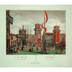
J.R. Arsenale (Venice)
A superbly hand colored aquatint depicting the arsenal of Venice. It provides an excellent view of the architecture. Quite decorative.
Date: Venic, 1831
Selling price: ????
Please login to see price!
Sold in 2011
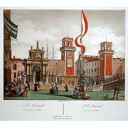
J.R. Arsenal. (Venice)
Superbly hand colored aquatint showing the arsenal of Venice. It provides a lovely view of the architecture.
Date: Venice 1831
Selling price: ????
Please login to see price!
Sold
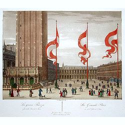
La Grande Place. (Venice)
"Superbly hand colored aquatint showing the ""Grande Place"" of Venice. It provides a lovely view of the architecture and the people walking in f...
Date: Venice 1831
Selling price: ????
Please login to see price!
Sold
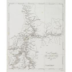
Carta Topografica del lago di como e delle tre-Pievi.
A uncommon postal map centered on the lake of Como. Engraved by Giuseppe Pezze.
Date: Milan, c. 1831
Selling price: ????
Please login to see price!
Sold in 2011
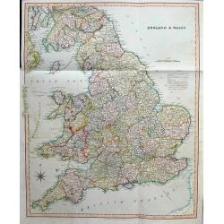
England & Wales
Large and highly detailed map of England & Wales, from Edinburgh to the French coast. Includes ferries to Ireland and Isle of Man, streets with distances between town...
Date: London, 1831
Selling price: ????
Please login to see price!
Sold in 2016
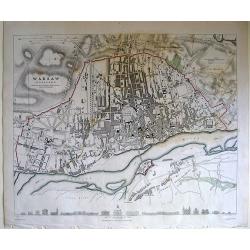
Warsaw (Warszawa) Published under the Superintendence of the society for the diffusion of useful knowledge.
Map of Warsaw region.
Date: London, 1831
Selling price: ????
Please login to see price!
Sold in 2010
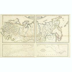
Russian empire. / Chart of the communication between the archipelago and black sea.
Printed on 2 sheets, each sheet has two maps printed from different copper plates. The lower map at 1:400,000 scale and includes northern part of the Black Sea with, Hell...
Date: Edinburg, 1831
Selling price: ????
Please login to see price!
Sold in 2014
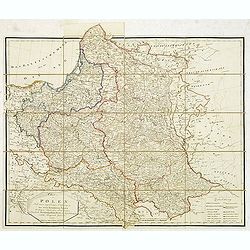
Charte von Polen nach seiner gegenwärtigen Eintheilung in das neue Königreich Polen, die übrigen russischen Besitzungen, das preussische. . . 1831
Rare folding case map of Poland and Lithuania for the year 1831. Very detailed, including a road system and a key in lower right corner. Published in Vienna, by the cousi...
Date: Vienna, 1831
Selling price: ????
Please login to see price!
Sold in 2012
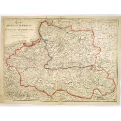
Carte des Etats de Pologne et du Grand Duché de Lithunanie.
Uncommon map of Poland prepared by Eustache Hérisson (1759-18.. ) and engraved by Cordier. The map was published by the last family member of the Jean publishing firm of...
Date: Paris, 1831
Selling price: ????
Please login to see price!
Sold in 2013
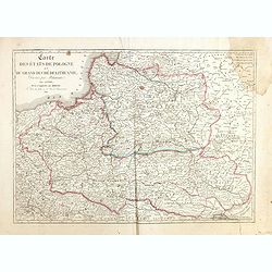
Carte des Etats de Pologne et du Grand Duché de Lithunanie.
Uncommon map of Poland prepared by Eustache Hérisson (1759-18.. ) and engraved by Cordier. The map was published by the last family member of the Jean publishing firm of...
Date: Paris, 1831
Selling price: ????
Please login to see price!
Sold in 2015
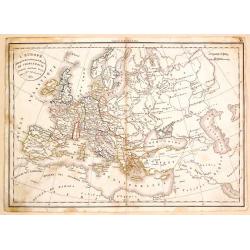
L'Europe a l'Epoque du Demembrement de L'Empire de Charlemagne.
Fine map featuring the empire of CHARLEMAGNE in Europe. It was developed by F. Delamarche in Paris in 1831. It was published in "ATLAS DE LA GEOGRAPHIE".
Date: Paris, 1831
Selling price: ????
Please login to see price!
Sold in 2017
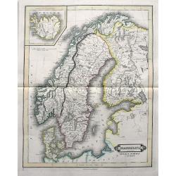
Scandinavia including Sweden, Norway & Denmark.
An excellent steel engraved map of Scandinavia, including the Baltics and St. Petersburg. An inset map shows Iceland.
Date: Edinburgh, ca 1831
Selling price: ????
Please login to see price!
Sold in 2019
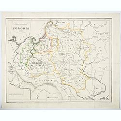
Situazione attuale della Polonia 1831.
An unusual map of Poland by the Italian Bernardo Zaydler, published in the work History of Poland in 1831. The map extends from Prussia and Bohemia in the west, across th...
Date: Florence, 1831
Selling price: ????
Please login to see price!
Sold in 2023
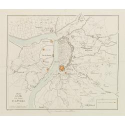
Plan de la Ville et des Environs d'Anvers.
Bird-eye view of Antwerp. Engraved by van Em. The positions occupied by the Dutch are marked in red.
Date: Bruxelles 1832
Selling price: ????
Please login to see price!
Sold
CARTE DES CÔTES DE FRANCE PARTIE COMPRISE ENTRE L'ILE D'YEU ET LA POINTE DES BALEINES
Highly decorative and very rare large-scale engraved seachart of the French coast from Ile de Ré until Ile d'Yeu, engraved by Collin. Includes Jard, Les Sables D'Olonne,...
Date: Paris, 1832
Selling price: ????
Please login to see price!
Sold in 2010
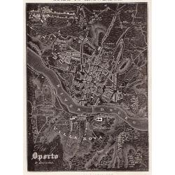
Oporto.
A distinctive woodblock engraved map of Oporto where the printing is reversed - white on black. The map was published in London in 1832 in William Pinnock's "The Gui...
Date: London, 1832
Selling price: ????
Please login to see price!
Sold in 2012
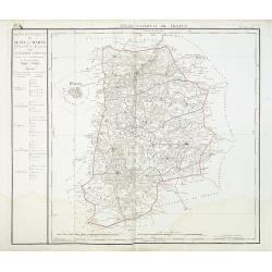
Departement de Seine et Marne. . .
Map centred of Rosoy and Fontainebleau. Borders of the district are colored. Map showing the city Nemours, Melun, Meaux, etc. In the left margin a cartouche with the list...
Date: Paris, 1832
Selling price: ????
Please login to see price!
Sold
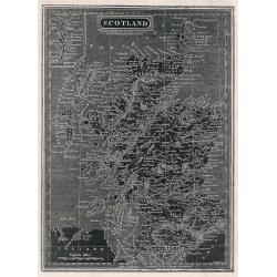
Scotland.
A distinctive woodblock engraved map of Scotland where the printing is reversed - white on black. The map was published in London in 1832 in William Pinnock's "The ...
Date: London, 1832
Selling price: ????
Please login to see price!
Sold in 2012
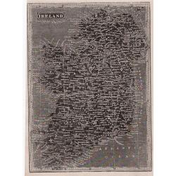
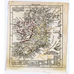
Ireland.
A distinctive woodblock engraved map of Ireland where the printing is reversed - white on black. The map was published in London in 1832 in William Pinnock's "The Gu...
Date: London, 1832
Selling price: ????
Please login to see price!
Sold in 2012
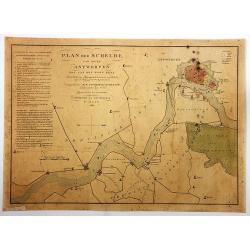
Plan der Schelde van Boven Antwerpen...
Plan of Schelde from Antwerp to the village of Doel: with the position of our ship force at the resumption of hostilities against the Belgians, on August 3, 1831.By F. Ka...
Date: Amsterdam, 1832
Selling price: ????
Please login to see price!
Sold in 2018
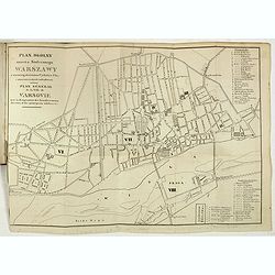
Plan I Obraz Warszawy. Plan et Panorama de Varsovie.
Very rare bi-bilingual (Polish and French) street guide to Warsaw prepared by Jan Glücksberg (1784-1859). This rare publication starts with 10 pp of description of the t...
Date: Warsovie, 1832
Selling price: ????
Please login to see price!
Sold in 2019
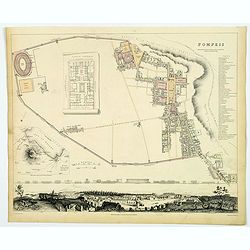
Pompeii.
A delightful example of the 1832 first edition S.D.U.K. plan of Pompeii, Italy. Pompeii was utterly destroyed by the eruption of the volcano Mt. Vesuvius, in A.D. 79 and ...
Date: London, 1832
Selling price: ????
Please login to see price!
Sold in 2019
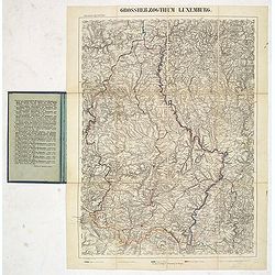
Grosserzogthum Luxemburg.
Steel engraved folding map of Luxembourg prepared by Reymann. With key in hand color to borders with Trier, France, Belgium, and Luxembourg.Reymann's Karte or Reymann'sch...
Date: Glogau, ca. 1832
Selling price: ????
Please login to see price!
Sold in 2019
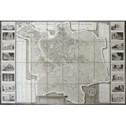
Pianta della Citta di Roma...
Decorative large-scale map of Rome with 16 vignette views showing St. Peters Basilica, the Pantheon, Colliseum, Forum Romano, etc. The map depicts the city within the wal...
Date: Rome, 1832
Selling price: ????
Please login to see price!
Sold in 2019
Munich (Munchen).
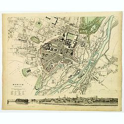
This is a beautiful first edition map of the German city of Munich, issued in 1832 by the Society for the Diffusion of Useful Knowledge, or S.D.U.K. It depicts the city a...
Date: London, 1832
Selling price: ????
Please login to see price!
Sold in 2020
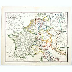
The Central Part of Europe for the Elucidation of the Abbe Gaultier's Geographical Games.
A detailed map of central Europe from A Complete Course of Geography, by Means of Instructive Games invented by the Abbé Gaultier included ‘numerous emendations and ad...
Date: London, 1832
Selling price: ????
Please login to see price!
Sold in 2020
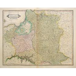
Poland and Lithuania.
Uncommon detailed steel engraved map of Poland and Lithuania. Published in Edinburgh by W. Lizars.
Date: Edinburgh, 1833
Selling price: ????
Please login to see price!
Sold in 2008
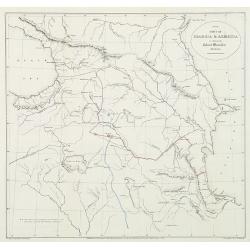
Part of Georgia & Armenia to illustrate Colonel Monteith's journal.
Uncommon map of the Caucasus of Monteith's who was a British Army colonel's travels at a time of Russian expansion in the region. Showing the Black Sea to the Caspian sea...
Date: London, 1833
Selling price: ????
Please login to see price!
Sold in 2010
Turin (Torino).
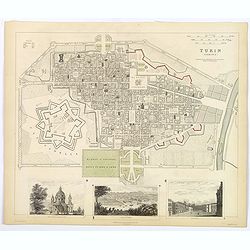
A detailed map of the north Italian city of Turin, published by the Society for the Diffusion of Useful Knowledge. The Society was founded by John, Earl Russell, and Henr...
Date: London, 1833
Selling price: ????
Please login to see price!
Sold in 2018
Turin (Torino).
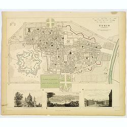
A detailed map of the north Italian city of Turin, published by the Society for the Diffusion of Useful Knowledge. The Society was founded by John, Earl Russell, and Henr...
Date: London, 1833
Selling price: ????
Please login to see price!
Sold in 2019
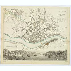
Oporto.
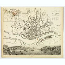
An appealing plan of the second largest Poruguese city of Oporto, famed for giving its name to Port wine. There is a detailed town plan, plus a small table of notes to as...
Date: London, 1833
Selling price: ????
Please login to see price!
Sold in 2019
VIENNA - WIEN
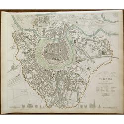
Drawn by W. B. Clarke engraved by J. Henshall 1833 first edition. A very attractive and detailed mid-19th century plan of Vienna, Austria which was published under the Su...
Date: London 1833
Selling price: ????
Please login to see price!
Sold in 2019
Oporto.
An appealing plan of the second largest Portuguese city of Oporto, famed for giving its name to Port wine. There is a detailed town plan, plus a small table of notes to a...
Date: London, 1833
Selling price: ????
Please login to see price!
Sold in 2020
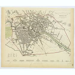
Berlin.
This delightful plan of Berlin has architectural elevations of principal public buildings at its foot. Berlin was capital of the Kingdom of Prussia, Austria’s rival as ...
Date: London, 1833
Selling price: ????
Please login to see price!
Sold in 2019
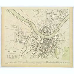
Dresden.
This delightful plan of Dresden, the capital city of the German region of Saxony. It has architectural elevations of principal public buildings at its foot. This plan sho...
Date: London, 1833
Selling price: ????
Please login to see price!
Sold in 2020
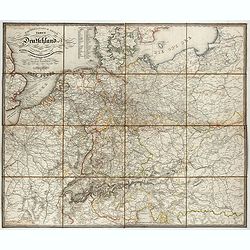
General- Post- und Reis-carte von Deutschland und den Nachbarländern bis Paris... / Carte générale et routière de l'Allemagne et des pays limitrophes jusqu'à Paris...
Road map of Germany and neighboring countries reaching as far as Paris, London, Copenhagen, Warsaw and Boulogne, compiled from official materials and the most recent maps...
Date: Francfurt am Main, Charles Jugel, 1833
Selling price: ????
Please login to see price!
Sold in 2022
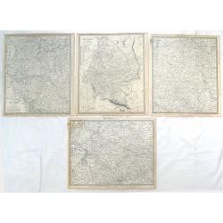
( 4 Large Maps ) Russia in Europe, Parts IV, V, VI & X.
Four maps featuring section (IV, V, VI & X) of "Russia in Europe" by S.D.U.K. and engraved by J & C Walker. Published by Baldwin & Craddock in Londo...
Date: London, 1834
Selling price: ????
Please login to see price!
Sold in 2018
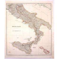
South Italy.
Large hand-colored, detailed map of SOUTHERN ITALY and SICILY, by Arrowsmith. Produced for "THE LONDON ATLAS OF UNIVERSAL GEOGRAPHY" by John Arrowsmith. Includ...
Date: London, 1834
Selling price: ????
Please login to see price!
Sold in 2016
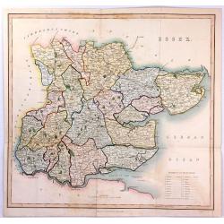
ESSEX
A large steel engraved map labelled "Essex", engraved by James Bingley, published in Virtue's “Picturesque Beauties of Great Britain” in London in 1834.
Date: London, 1834
Selling price: ????
Please login to see price!
Sold in 2016

![[No title] Russland. Gouv. 31. Taurien und 31a das Land der Tschernomorkischen Kosaken.](/uploads/cache/28947-250x250.jpg)

![[No title, showing Majorca, minorca and part of the coast of Algaria.]](/uploads/cache/35723-250x250.jpg)
![England [sheet IV].](/uploads/cache/44907-250x250.jpg)
