Browse Listings in Asia > South East Asia > Java / Bali
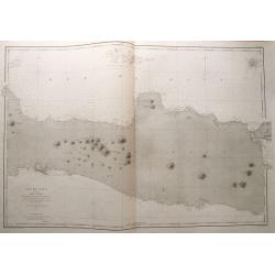
Ile de Java 2ème Feuille Partie Centrale. . .
Large size sea-chart of central Java. Extends from Indramayu until Madura. Includes Karimunjawa and Bawean in great detail. With depth soundings and anchoring places. Onl...
Place & Date: Paris, 1869
Selling price: $85
Sold in 2014
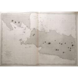
Ile de Java 1ère Feuille Partie Occidentale. . .
Large size sea-chart of the Sunda Strait. Shows parts of Sumatra and Java (extending east until Cirebon). With numerous small islands shown, depth soundings and anchoring...
Place & Date: Paris, 1869
Selling price: $145
Sold in 2014
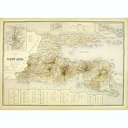
Kaart van oost Java. (derde militaire afdeling)
Large map of east Java.
Place & Date: The Hague, c. 1880
Selling price: $250
Sold in 2012
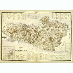
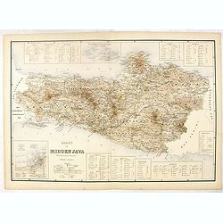
Kaart van midden Java. (tweede militaire afdeling)
Large map of central Java.
Place & Date: The Hague, c. 1880
Selling price: $250
Sold in 2012
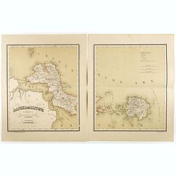
Bangka en Blitong op een schaal van 1:750000.
Very detailed two sheet map of Bangka en Blitong, taken from "Atlas van Nederlandsch Oost- en West-Indie", prepared by doctor I. Dornseiffen, and published by p...
Place & Date: Amsterdam, Seyffardt, 1884
Selling price: $30
Sold in 2018
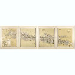
Java op een schaal van 1:950 000
Very detailed map of Java in 4 sheets, with an inset map of 'Batavia met de haven werken' (Jakarta). Taken from "Atlas van Nederlandsch Oost- en West-Indie", pr...
Place & Date: Amsterdam, Seyffardt, 1884
Selling price: $50
Sold in 2017
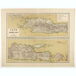
Java met Madoera en Bali. Schaal van 1:1750000.
A very detailed map of Java is divided in two parts, taken from "Atlas van Nederlandsch Oost- en West-Indie," prepared by a doctor I. Dornseiffen, and published...
Place & Date: Amsterdam, Seyffardt, 1884
Selling price: $35
Sold in 2017
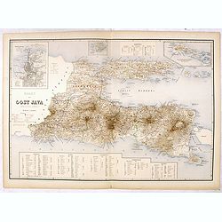
Kaart van Oost Java. (derde militaire afdeeling.)
Very detailed map of East Java taken from "Atlas der Nederlandsche bezittingen in Oost-Indië", who was published by Departement van Koloniën". With large...
Place & Date: The Hague, 1883-1885
Selling price: $50
Sold in 2016
Kaart van Midden Java. ( tweede militaire afdeeling )
Very detailed map of central Java, taken from "Atlas der Nederlandsche bezittingen in Oost-Indië", who was published by Departement van Koloniën". In low...
Place & Date: The Hague, 1883-1885
Selling price: $50
Sold in 2016
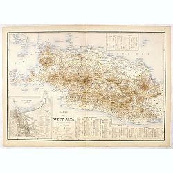
Kaart van West Java (eerste militaire afdeeling)
Very detailed map of west Java, taken from "Atlas der Nederlandsche bezittingen in Oost-Indië", who was published by Departement van Koloniën". With inse...
Place & Date: The Hague, 1883-1885
Selling price: $75
Sold in 2016
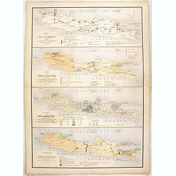
Kaart van Java en Madoera . . .
Four maps of Java and Madoera on one sheet taken from "Atlas der Nederlandsche bezittingen in Oost-Indië", who was published by Departement van Koloniën"...
Place & Date: The Hague, 1883-1885
Selling price: $55
Sold in 2017
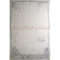
Sheet 2 (Western Route to China).
Impressively sized sea-chart of a part of the Java Sea. Shows Indramayu to Semarang on Java, the Karimunjawa Islands, a small part of Borneo, and a part of Belitung (Bill...
Place & Date: London, 1887
Selling price: $120
Sold in 2014
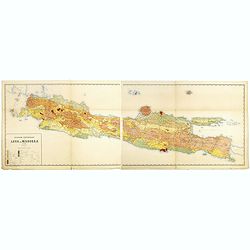
Geologische overzichtskaart van Java en Madoera in 12 bladen schaal 1: 500.00
Scarce geological map of Java and Madoera in a scale of 1:500.000 printed by Rogier Diederik Marius Verbeek (1845-1926) and Rinder Fennema (1849-1926). This is the rare w...
Place & Date: Amsterdam, 1896
Selling price: $400
Sold in 2016
Balinees watercolor on paper, fishermen.
Decorative export painting from Bali of a more than average quality.
Place & Date: Bali, ca 1960
Selling price: $150
Sold in 2014
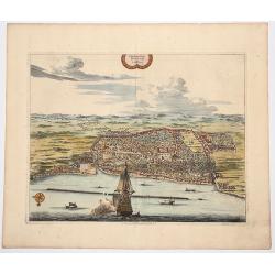
Plan de la Ville de BANTAM, dans l'isle de Java.
An attractive hand colored copperplate view of Bantam by Pierre van der Aa. Shows the village with several ships in foreground during the the Dutch 'golden age' in Indone...
Place & Date: Leiden, ca 1719
Selling price: $150
Sold in 2019
