Browse Listings in Africa > Southern Africa > Cape of Good Hope
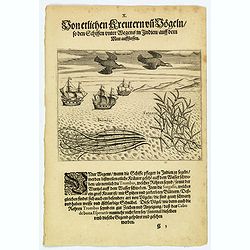
Seaweed and birds seen approaching the Cape of Good Hope.
The sailors saw many plants floating on the surface of the sea during their voyage to India. Among these was the ‘trombas’, which was a pipe-like growth with its root...
Date: Frankfurt, 1598
Selling price: ????
Please login to see price!
Sold in 2019
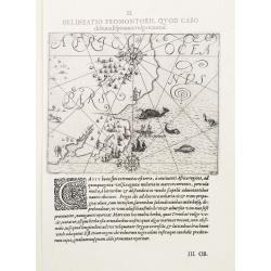
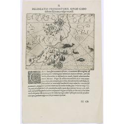
II. Delineatio Promontorii, qvod Cabo de bona Esperanca vulgo vocatur.
One of the earliest map of Cape of Good Hope region.
Date: Frankfurt 1600
Selling price: ????
Please login to see price!
Sold
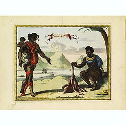
The inhabitants of the Cape of Good Hope
This is the first print to show the inhabitants of the Cape together with Europeans, and one of the first large scale prints of the native peoples of the Cape..The plate ...
Date: Frankfurt 1601
Selling price: ????
Please login to see price!
Sold
Delineatio Promontorii, Quod Cabo.
Early map of Cape of Good Hope.Theodore de Bry, a German engraver and book dealer, began a compilation of early voyages in 1590 and had published six parts at the time of...
Date: Frankfurt, 1609
Selling price: ????
Please login to see price!
Sold in 2010
Sequentes Hae Figurae Historiam Hollandicae Navigationis.
Dutch slaughtering a cow with locals of Cap Bonae Spei.Theodore de Bry, a German engraver and book dealer, began a compilation of early voyages in 1590 and had published ...
Date: Frankfurt, 1609
Selling price: ????
Please login to see price!
Sold in 2016
[A group of women piercing their hearts with daggers].
A group of women piercing their hearts with daggers. Scarce print (150x177mm.) on a German text sheet taken from a first edition of Johann Ludwig Gottfried's "Newe W...
Date: Frankfurt, M.Merian, 1633
Selling price: ????
Please login to see price!
Sold in 2023
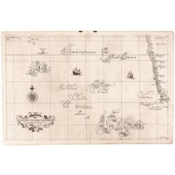
Carta particolare che mostra il Capo buona Speranza.
A particularly rich example of the Dudley sea chart with several lush samples of Lucini’s remarkable engraving of calligraphic lettering. The chart, in addition to the ...
Date: Florence, 1646
Selling price: ????
Please login to see price!
Sold in 2018
Cape of Good Hope Manuscript Landgrant, 1680.
A one-sheet 1680 Cape of Good Hope landgrant, in favour of Hans Calmbach(?), who had been a Corporal in the service of the VOC Company. Also mentions a Jacomina and Hend...
Date: Cape of Good Hope, 1680
Selling price: ????
Please login to see price!
Sold in 2015
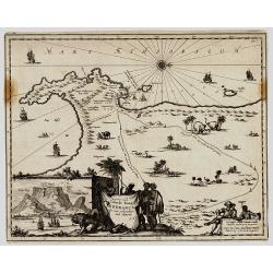
Caerte vande Cabo de Bona Esperança / En haer gelegentheyt daer omtrent.
Rare first state, 1682, showing the first land grants, with J.N. in the cartouche. An early Dutch map of the Cape of Good Hope map which first appeared in Johan Nieuhoff\...
Date: Amsterdam, 1682
Selling price: ????
Please login to see price!
Sold in 2008
ISLE D' HORN
A charming late 17th century French view of Cape of Good Hope.
Date: Paris 1683
Selling price: ????
Please login to see price!
Sold
C.D. Bona Esperance.
A couple of Bona Esperance, published in the very rare work Orbis habitabilis oppida (N° 59).
Date: Amsterdam, 1698
Selling price: ????
Please login to see price!
Sold
Cartes des pays et des peuples du Cap de bonne Esperance nouvellemt decouverts par les Hollandois.
French manuscript map of Cape of Good Hope, as it was at about 1670. With a key (A-C) pointing to the Dutch fortress, Table Mountain and Lion's head.
Date: France, ca. 1670-1700
Selling price: ????
Please login to see price!
Sold in 2012
Le Cap de Bonne Esperance.
Fine view of Capetown from the seaside. With numerous sailing ships in the front. Tabletop mountaion in the back. Two putti holding the title banner. A six number key exp...
Date: Leiden, c1700
Selling price: ????
Please login to see price!
Sold in 2013
Cabo de Bona Esperanca / De Bay Van A de.S. Bras.
Uncommon small map of South Africa. From the French reissue of the account of early Dutch voyages first published in 1608 by Commelin. The French translation was carried ...
Date: Amsterdam, E. Roger, 1702
Selling price: ????
Please login to see price!
Sold in 2012
C.D.Bona Esperance.
A rare view of a South African couple. In background Table Mountain.Engraved by A.Meijer for Carolus Allard's for his Orbis habitabilis oppida et vestitus. This rare work...
Date: Amsterdam, inbetween 1683-1702
Selling price: ????
Please login to see price!
Sold in 2012
Kabo de Bona Esperança.
Attractive view of the Good Hope Cape. A fleet of Dutch vessels is present on the foreground.
Date: Amsterdam, 1702
Selling price: ????
Please login to see price!
Sold in 2008
A mapp of the Cape of Goodhope with its true Situation.
Very fine decorative map of Cape of Good Hope. From the book "A Collection of Voyages and Travels" by J. Churchill and the map came from the part containing the...
Date: London, Printed for A. and J. Churchill, 1703
Selling price: ????
Please login to see price!
Sold in 2016
Cap de Bonne Esperance par N.de Fer.
In the upper part a view of the Table Mountain, in lower part Table Bay and the Dutch Castle at Cape of Good Hope.
Date: Paris, 1705
Selling price: ????
Please login to see price!
Sold in 2008
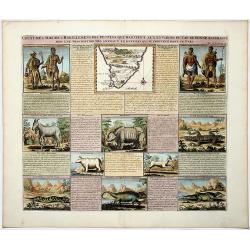
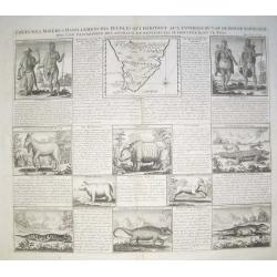
COUTUMES MOEURS & HABILLEMENS des PEUPLES QUI HABITENT AU ENVIRONS DU CAP DE BONNE ESPERANCE. . .
A decorative image of people & animals, with a map of southern Africa after Tachard. The people depicted are the Hottentots and the Namaquas of the Cape of Good Hope....
Date: Amsterdam, ca 1719
Selling price: ????
Please login to see price!
Sold in 2019
Coutumes, Moeurs et Habillemens des Peuples qui Habitent aux Environs du Cap de Bonne Esperance..
Decorative images of people & animals, with a map of southern Africa after Tachard. The people depicted are the Hottentots and the Namaquas of the Cape of Good Hope. ...
Date: Amsterdam, c. 1719
Selling price: ????
Please login to see price!
Sold in 2008
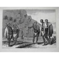
Dracht en Wapening der Hottentots.
Large format view of "Hottentots" in traditional clothing and armed with spear and bow. Located at the Cape of Good Hope. Title below the view: "Les Armes ...
Date: Leiden, c1720
Selling price: ????
Please login to see price!
Sold in 2013
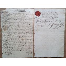
1721 Cape of Good Hope debenture, signed by 4 future COGH Governors, with intact VOC wax seal and 1714 revenue stamp.
This is a fascinating two-page document that needs further research. Written in very readable Dutch, a limited translation reveals that it seems that Jan Spoor (who is ...
Date: Cape of Good Hope, 1721
Selling price: ????
Please login to see price!
Sold in 2015
Nieuwe Kaart van Caap der Goede Hoop in hare rechte jegenwoordige staat. . .
Fine map depicting the southern tip of Africa. Little interior detail is given but the coastlines, settlements and principal coastal features are identified. In top right...
Date: Amsterdam, 1724
Selling price: ????
Please login to see price!
Sold in 2015
Nieuw Kaart van Caap Der Goede Hoop - in hare rechte jegenwoordige staat vertoond door FRANÇOIS VALENTYN.
An attractive & detailed map of the Cape region, one of the few early Dutch maps to focus on the region only some 70 years after the first Dutch settlement. Area cove...
Date: Amsterdam, 1724
Selling price: ????
Please login to see price!
Sold in 2019
Nieuwe Kaart van Caap der Goede Hoop..
"Fine chart depicting the southern tip of Africa. Little interior detail is given but the coastlines, settlements and principal coastal features are identified. An a...
Date: Amsterdam 1724
Selling price: ????
Please login to see price!
Sold
(Cabo de boa esperanca)
Chart of the Cape of Good Hope coast from Saldanha Bay to False Bay, the edge of the land rolled back to show the coast line in silhouette with a scale of miles and compa...
Date: Amsterdam, 1726
Selling price: ????
Please login to see price!
Sold in 2016
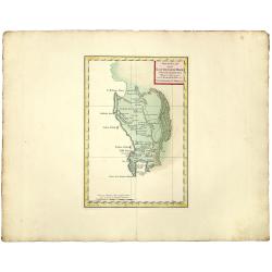
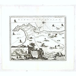
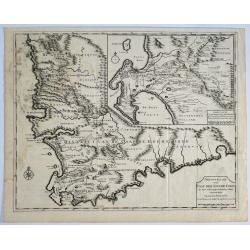
Cape of Good Hope [no title]
Plan of Cape of Good Hope with the Dutch settlements. A lettered key in lower right corner.François Valentijn (1666-1727), a missionary, worked at Amboina from 1684 to 1...
Date: Amsterdam, 1726
Selling price: ????
Please login to see price!
Sold in 2015
Gezicht van Kaap Der Goede Hope als men op de Reede legt.
Decorative panoramic view of the town of Samboupo on the island of Celebes (Sulawesi) in today's Indonesia. Dutch (V.O.C.) sailing ships and various local craft fill the ...
Date: Amsterdam, 1726
Selling price: ????
Please login to see price!
Sold in 2017
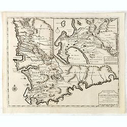
Nieuwe Kaart van Caap de Goede Hoop in hare rechte jegenwoordige staat...
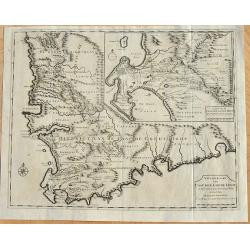
Two maps of Cape of Good Hope. . Windmills and churches are indicated on the bottom map. With inset identifying the first farm layouts, and who the farms belonged to, i...
Date: Amsterdam, 1726
Selling price: ????
Please login to see price!
Sold in 2008
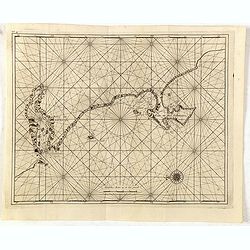
No title: Baya de Saldanha/ Cabo de Boa Esperanca.
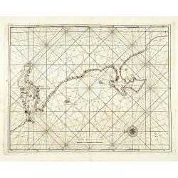
Chart of the coast from Saldanha Bay to False Bay, the edge of the land rolled back to show the coast line in silhouette with a scale of miles and compass-rose. Marks Das...
Date: Amsterdam 1726
Selling price: ????
Please login to see price!
Sold
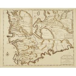
Cape of Good Hope [no title]
"Plan of Cape of Good Hope with the Dutch settlements.Françcois Valentijn (1666-1727), a missionary, worked at Amboina from 1684 to 1694 and 1705 to 1713 and travel...
Date: Amsterdam 1726
Selling price: ????
Please login to see price!
Sold
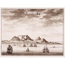
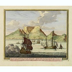
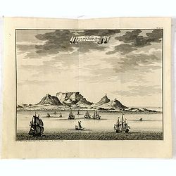
Geziet van Kaap der Goede Hope als men op de Reede legt.
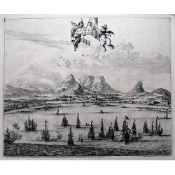
Decorative panoramic view of the Cape of Good Hope with European vessels in the foreground.François Valentijn (1666-1727), a missionary, worked at Amboina from 1684 to 1...
Date: Amsterdam 1726
Selling price: ????
Please login to see price!
Sold
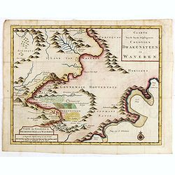
Caarte van de beyde afgelegenste colonien Drakensteen en Waveren...
Fine and early map of Colonies of Drakenstein in South Africa, from Kolbe's "Naukeurige en Uitvoerige beschryving van de Kaap de Goede Hoop".
Date: Amsterdam, 1727
Selling price: ????
Please login to see price!
Sold in 2015
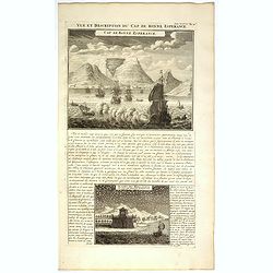
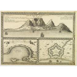
Vue et Description du Cap de Bonne Espérance.
In top copperplate engraving of the Cape with shipping in the foreground flying the Dutch flag, with engraved descriptive text between the two views, mainly concerning th...
Date: Amsterdam, 1728
Selling price: ????
Please login to see price!
Sold in 2017
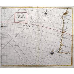
A New and Correct Chart of the Coast of Africa from Cape Negro to Cape Bona Esperance.
A rare sea chart showing a part of South Africa including the Cape of Good Hope and Table Bay. Extends to locate Tristan da Cunha and St. Helena! Published in the Atlas...
Date: London, 1728
Selling price: ????
Please login to see price!
Sold in 2016
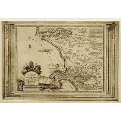
Le Cap de Bonne Esperance, suivant les nouvelles observations..
Uncommon edition of this map of the Cape of Good Hope. With decorative title cartouche lower left corner.This example is unusual in having the additional separately engra...
Date: Amsterdam 1728
Selling price: ????
Please login to see price!
Sold in 2009
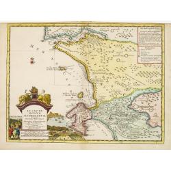
Le Cap de Bonne Esperance, suivant les nouvelles observations..
This is a small detailed map of the Cape from Saldanha to False Bay. The attractive title cartouche on the lower left is on a stone pediment surmounted by a lion and lion...
Date: Amsterdam 1728
Selling price: ????
Please login to see price!
Sold
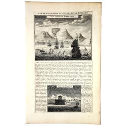
VUE et DESCRIPTION du Cap De BONNE ESPERANCE.
In top copperplate engraving of the Cape with shipping in the foreground flying the Dutch flag, with engraved descriptive text between the two views, mainly concerning th...
Date: Amsterdam, 1728
Selling price: ????
Please login to see price!
Sold in 2019
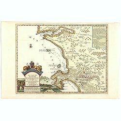
Le Cap de Bonne Esperance, suivant les nouvelles observations..
This is a small detailed map of the Cape from Saldanha to False Bay. The attractive title cartouche on the lower left is on a stone pediment surmounted by a lion and lion...
Date: Amsterdam, 1728
Selling price: ????
Please login to see price!
Sold in 2019
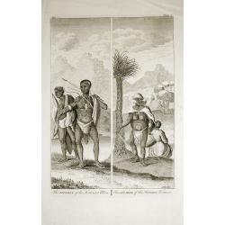
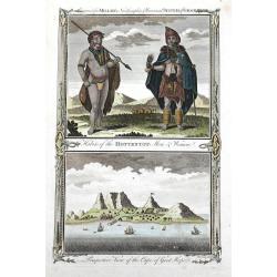
The Apparel of the Hottentot Men - The Apparel of the Hottentot Women.
An early 1731 engraving depicting the apparel of the Hottentot people of South Africa.James Mynde Engraver, working in City of London on general plates. He had a large st...
Date: London, 1731
Selling price: ????
Please login to see price!
Sold in 2012
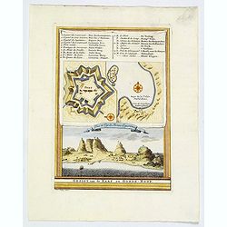
Gezigt van de Kaap de Goede-Hoop.
A small view of the Cape of Good Hope, and featuring a plan of the fort and map of the bay. There is also a numbered table (1-14) at top. Engraved when the Dutch had a co...
Date: Amsterdam, 1747
Selling price: ????
Please login to see price!
Sold in 2019
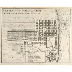
Grundriss von dem Fort und der Stadt auf dem Vorgebirge der Guten Hoffnung
Engraved map of Cape Town in South Africa by Nicolas Bellin. From the German edition of Prévost's "L'Histoire Générale des Voyages" by J. J. Schwabe in Leipz...
Date: Leipzig, 1749
Selling price: ????
Please login to see price!
Sold in 2008
Carte de la Baye de la Table .. / Cap de Bonne Esperance.
A very nice map of the Cape of Good Hope.From Atlas Portatif pour servir a l'intelligence de l'Histoire Philosophique et Politique des etablissements et du commerce des E...
Date: Amsterdam, 1749
Selling price: ????
Please login to see price!
Sold in 2011
Carte de la Baye de la Table .. / Cap de Bonne Esperance.
A very nice map of the Cape of Good Hope.From Atlas Portatif pour servir a l'intelligence de l'Histoire Philosophique et Politique des etablissements et du commerce des E...
Date: Amsterdam 1749
Selling price: ????
Please login to see price!
Sold
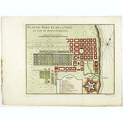
Plan du Fort et de la ville du Cap de Bonne Esperance.
Early plan of the city, the fort and Good Hope Cape. Across the top is an extensive list of 22 important sites and locations keyed to the plan with tiny letters and numbe...
Date: Paris, 1750
Selling price: ????
Please login to see price!
Sold in 2017
Carte de la Baye de la Table . . .
Map of La Table Bay. Across the top is an extensive list of 22 important sites and locations keyed to the plan with tiny letters and numbers.Jacques Nicolas Bellin (1703-...
Date: Paris, 1750
Selling price: ????
Please login to see price!
Sold in 2021
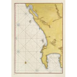
Plan du Cap de Bonne-Esperance et ses environs..
Large and detailed sea chart of the Cape of Good Hope from Saldahna Bay to False Bay. Probably from Neptune Oriental, published in 1745. Note that this version differs in...
Date: Paris, 1752
Selling price: ????
Please login to see price!
Sold
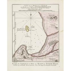
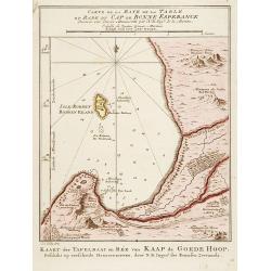
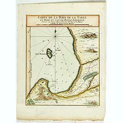
Carte de la Baye de la Table et Rade du Cap de Bonne Esperance. . .
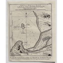
A detailed map of the Table Bay and Robben Island at Cape Town, South Africa, extending north to Mountain Blue. Engraved by van der Schley.Jacques Nicolas Bellin (1703–...
Date: Paris, 1754
Selling price: ????
Please login to see price!
Sold in 2020
Le Pays des Hottentots aux environs du Cap de Bonne Espérance. . .
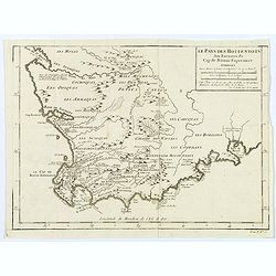
A good, competent, engraved map of Cape of Good Hope. The geographical features are typical, with somewhat exaggerated bays, inlets and prominent mountain ranges.The west...
Date: Paris, 1757
Selling price: ????
Please login to see price!
Sold in 2020
The Island of St.Helen.
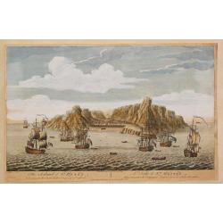
A view of the island of St. Helena as seen from the sea. In the foreground English and Dutch V.O.C. ships.The island is well-known as after Napoleon Bonaparte was capture...
Date: London, c. 1760
Selling price: ????
Please login to see price!
Sold in 2008
LE CAP DE BONNE ESPERANCE.
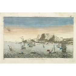
Optical view illustrating the Cape of Good Hope, a stop-over for the V.O.C., by Daumont who was a well-known publisher of optical prints, established in Paris.In the eigh...
Date: Paris 1760
Selling price: ????
Please login to see price!
Sold in 2010
Nieuwe Kaart van de KAAP DER GOEDE HOOPE en der na by gelegen Landen.
An old colored map of the Cape of Good Hope in South Africa showing mountains and naming towns, rivers and shore locations. With large margins.
Date: Amsterdam, 1763
Selling price: ????
Please login to see price!
Sold in 2019
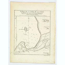
Carte de la Baye de la Table, et Rade du Cap de Bonne Esperance.
A nice copperplate map of the Cape of Good Hope, and of Cape Town, in South Africa. This map was issued both in Bellin's Le Petit Atlas Maritime and in the French edition...
Date: Paris, 1764
Selling price: ????
Please login to see price!
Sold in 2021
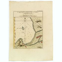
Carte de la Baye de la Table, et Rade du Cap de Bonne Esperance.
This nicely hand colored map is a copperplate map of the Cape of Good Hope, and of Cape Town, in South Africa. This map was issued both in Bellin's Le Petit Atlas Maritim...
Date: Paris, 1764
Selling price: ????
Please login to see price!
Sold in 2018
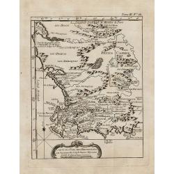
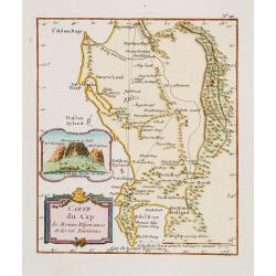
Carte du pais des Hottentots aux environs du Cap de Bonne Esperance.
Bellin\'s scarce vertical edition of the Cape of Good Hope. A finely colored engraving of the south-eastern coast of Africa around Cape Town. From the Le Petit Atlas Mari...
Date: Paris, 1764
Selling price: ????
Please login to see price!
Sold in 2008
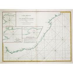
Carte Reduite de la Cote meridionale d' Afrique, depuis La Baye de Saldagne jusqu'au Cap des Courans.
A French sea chart of the southeast coast of South Africa from the 'Atlas Neptune Oriental' of 1775. It extends from Saldanha Bay to north of Cape Courans, including the ...
Date: Paris, Brest, 1775
Selling price: ????
Please login to see price!
Sold in 2021
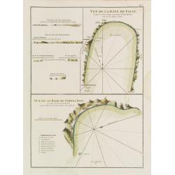
Vue de la Baye de False / Vue de la Rade de Simons-Baye. Vue du Cap des Aiguilles. Vue du Cap des Hottentots. Vue du Cap de Bonne Espérance.
Three French of Cape of Good Hope. Each chart has in addition profiles and a lettered key.Latitude and longitude scales, compass rose and system of rhumb lines, sounding...
Date: Paris, ca. 1775
Selling price: ????
Please login to see price!
Sold in 2012
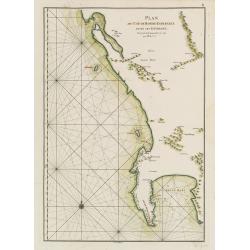
Plan du Cap de Bonne-Espérance et de ses Environs.
French of Cape of Good Hope.Latitude and longitude scales, compass rose and system of rhumb lines, soundings near coast and in bay areas.D' Après de Mannevillette (1707...
Date: Paris, ca. 1775
Selling price: ????
Please login to see price!
Sold in 2015
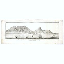
Vue du Cap de Bonne esperance de la baie / Gezigt van de Kaap der Goede hope van de reede.
A large rare panoramic view of Cape of Good Hope seen from the sea side with Dutch vessels in the foreground and Tafe-berg and the town in good detail. The fortress to th...
Date: Amsterdam, 1778
Selling price: ????
Please login to see price!
Sold in 2017
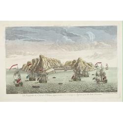
Vue perpective de l'Isle de St.Helene appartenant a la Compagnie Angloise pour les Indes Orientales.
Decorative optical view of St.Helena with in foreground British ships. The island is well-known as after Napoleon Bonaparte was captured by the Royal Navy, he was held ho...
Date: Paris, 1780
Selling price: ????
Please login to see price!
Sold in 2008
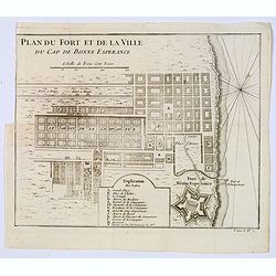
Plan du Fort et de la ville du Cap de Bonne Esperance.
Plan of the city, the fort and Good Hope Cape. With an explanation key to a list of 13 important sites and locations keyed to the plan with corresponding letters. Shows a...
Date: Paris, ca 1780
Selling price: ????
Please login to see price!
Sold in 2020
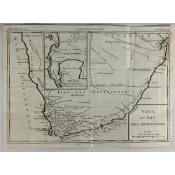
Carte du Pays des Hottentots.
A fine engraved map of The Cape of Good Hope in South Africa.It includes an inset of False Bay. Published in 1780 by Louis Brion de la Tour. Louis Brion de la Tour, (174...
Date: Paris, 1780
Selling price: ????
Please login to see price!
Sold in 2018
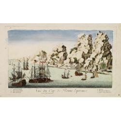
Vue du Cap de Bonne Esperance.
A fanciful, but rare optical print of the Cape of Good Hope". Published by Louis-Joseph Mondhare, who was a well-known publisher of optical prints, established from ...
Date: Paris, 1780
Selling price: ????
Please login to see price!
Sold in 2009
Hottentots. / Caffres. (A pair of costume plates of Cape of Good Hope)
Engravings by Poisson after two paintings by Pierre Sonnerat (1748-1814). In the "Caffres" showing a family from what is now South Africa. The term "Kaffir...
Date: 1782
Selling price: ????
Please login to see price!
Sold in 2019
Habits of the Hottentot Men & Women. / Perspective view of the Cape of Good Hope.
Two fine views on one sheet. On top the view shows a native couple with their traditional clothing. The bottom view features the Cape of Good Hope, several houses and sai...
Date: London, 1784
Selling price: ????
Please login to see price!
Sold in 2016
Carte géographique du Cap de Bonne Esperance contenant les noms et positions . . .
Folding map of Cape of Good Hope, from " Voyage au Cap de Bonne-Esperance, et autour du Monde avec le Capitaine Cook, et principalement dans les pays des Hottentots ...
Date: Paris, 1787
Selling price: ????
Please login to see price!
Sold in 2022
Carte du Cap de Bonne Esperance et de ses Environs.
A very nice map of the tip of South Africa, showing Cape of Good Hope, including an inset view of Cape Town and the Tafel Berg. Title cartouche on the lower left-hand cor...
Date: France c.1800
Selling price: ????
Please login to see price!
Sold
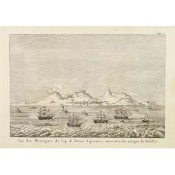
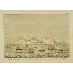
Vue des montagnes du Cap de Bonne-Espérance. . .
View of the Cape of Good Hope showing sailing ships foreground.
Date: Paris, 1800
Selling price: ????
Please login to see price!
Sold
Vue des montagnes du Cap de Bonne-Espérance. . .
View of the Cape of Good Hope showing sailing ships foreground.
Date: Paris, 1800
Selling price: ????
Please login to see price!
Sold
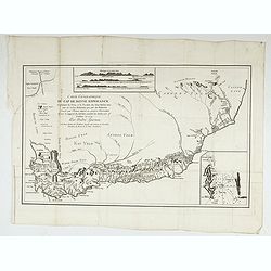
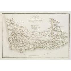
Carte générale de la colonie du Cap de Bonne Espérance.. Par John Barrow.
A very nice and rare map of the tip of South Africa, showing Cape of Good Hope. From Voyage dans la partie méridionale de l'Afrique: fait dans les années 1797 et 1798. ...
Date: France c.1801
Selling price: ????
Please login to see price!
Sold
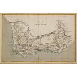
Cape of Good Hope.
Aaron Arrowsmith (1750-1833) , London-based, prolific cartographer and publisher, Hydrographer to His Majesty (1820).Map of the colony of the Cape of Good Hope. The bound...
Date: London, 1807
Selling price: ????
Please login to see price!
Sold
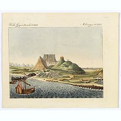
La Ville du Cap de Bonne Esperance.
A very pretty and attractive view of Cape Town in South Africa, from Bertuch's Bilderbuch fur Kinder.The view is beautifully hand colored and comes with original accompan...
Date: Weimer, 1810
Selling price: ????
Please login to see price!
Sold in 2018
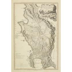
The Dutch colony of the Cape of Good Hope / by L.S. De La Rochette.
Uncommon detailed map of the Cape of Good Hope, showing kraals or villages, fountains, river crossings, early settlers, anchorages, etc. Prepared by Louis Stanislas d'Arc...
Date: London, 1795-1811
Selling price: ????
Please login to see price!
Sold in 2010
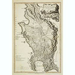
The Dutch colony of the Cape of Good Hope / by L.S. De La Rochette.
Uncommon detailed map of the Cape of Good Hope, showing kraals or villages, fountains, river crossings, early settlers, anchorages, etc. Prepared by Louis Stanislas d'Arc...
Date: London, 1795-1811
Selling price: ????
Please login to see price!
Sold in 2013
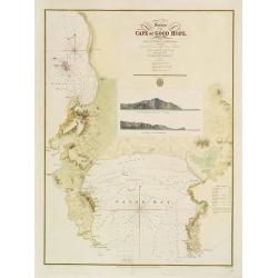
Survey of the Cape of Good Hope.
Large scale chart of the Cape of Good Hope. Engraved by J. & C.Walker. The survey was made by Lieut. A.T.E. Vidal of H.M.S. Leven assisted by Capt. Charles Lechmere, ...
Date: London 1828
Selling price: ????
Please login to see price!
Sold
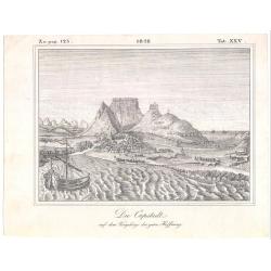
Die Capstadt..
Left top numbered Zu pag. 125. date in middle top, and right top numbered Tab. XXV. Uncommon German view of Table Bay and Cape Town ca. 1828. The print interestingly is s...
Date: 1828
Selling price: ????
Please login to see price!
Sold
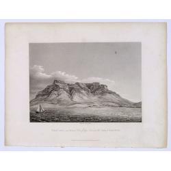
TABLE LAND, and distant View of Cape Town at the CAPE of GOOD HOPE.
A nice engraving of Cape Town, published by Richard Bentley, after an earlier engraving by James Forbes, from his "Oriental Memoirs". The route around the Cape ...
Date: London, 1834
Selling price: ????
Please login to see price!
Sold in 2019
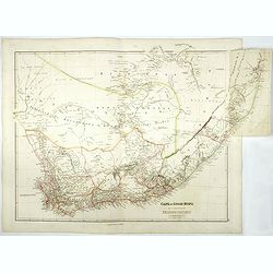
Cape of Good Hope.
According to Professor Elri Liebenberg : "This map is probably the most important map of the region prepared before the Great Trek commencing ca. 1835. This example ...
Date: London, 1834-1836
Selling price: ????
Please login to see price!
Sold in 2017
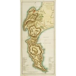
Militair plan van de Kaapsche Landengte?
Detailed map of the Cape of Good Hope. Engraved by Daniel Veelwaard and published by F.Bohn.
Date: Haarlem c.1840
Selling price: ????
Please login to see price!
Sold
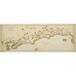
Kust Van Afrika van de Tafel Baay aan Kaap de Goede Hoop tot de Saldanha Baay.
Detailed map of the coast of South Africa from Saldanha Bay till Tafel Bay. Including the islands Robben Island and Dassen Island. Engraved by Daniel Veelwaard and publis...
Date: Haarlem c. 1840
Selling price: ????
Please login to see price!
Sold


![[A group of women piercing their hearts with daggers].](/uploads/cache/40182-250x250.jpg)
![Cape of Good Hope [no title]](/uploads/cache/35902-250x250.jpg)
![Cape of Good Hope [no title]](/uploads/cache/15932-250x250.jpg)
