Browse Listings in Europe > Netherlands > Limburg > maps
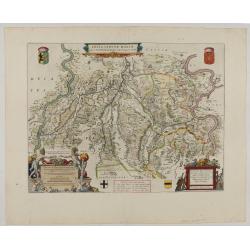
Fossa Sanctae Mariae.
1645 BLAEU, W. - Limburg area between the rivers Rhine and Meuse
Date: Amsterdam, 1645
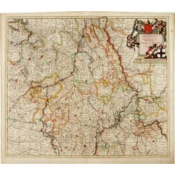
Tabula Episcopatuum Leodiensis et Coloniensis. . .
1700 DANCKERTS, C. - Rare issue of Cornelis Danckert's attractive map of Limburg shows the area of Cologne, Mainz, Trier, Jülich, Mons, Antwerp, and Liege in Belgium
Date: Amsterdam, 1700
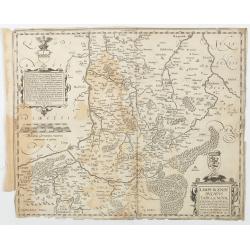
Limburgensis Ducatus Tabula Nova.
1612 ORTELIUS, A. / VRIENTS, J.B. - Rare map of Limburg without text on the verso
Date: Antwerp, 1606-1612
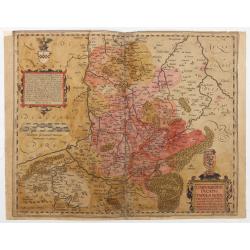
Limburgensis Ducatus Tabula Nova.
1606-1612 ORTELIUS, A. / VRIENTS, J.B. - Rare map of Limburg without text on the reverse, prepared by the Antwerp expert in law and mathematics Aegidius Martini.
Date: Antwerp, 1606-1612
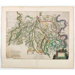
Fossa quae a Rheno ad Mosam duci caepta est Anno CLC ICCXXVII.
1634 BLAEU, W. - Fossa quae a Rheno ad Mosam duci caepta est Anno CLC ICCXXVII.
Date: Amsterdam, 1634
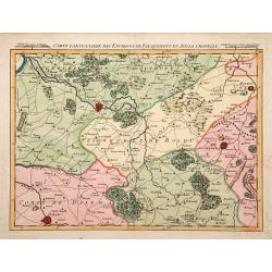
Carte particuliere des environs de Fauquemont et Aix la Chapelle.
1740 FRICX, E.-H. - Carte particuliere des environs de Fauquemont et Aix la Chapelle.
Date: Paris, 1740
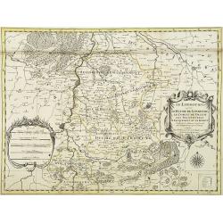
Le Limbourg ou font le duche de Limbourg. . .
1692 JAILLOT, A.-H. / MORTIER, P. - Le Limbourg ou font le duche de Limbourg. . .
Date: Amsterdam, 1692
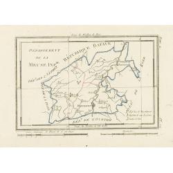
Département de la Meuse Inf.re.
1806 DELAPORTE, L'A. - Département de la Meuse Inf.re.
Date: Paris, Prudhomme, Levrault, Debray, 1806
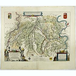
Fossa Sanctae Mariae.
1645 BLAEU, W. - Fossa Sanctae Mariae.
Date: Amsterdam, 1645
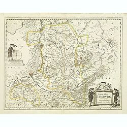
Ducatus Limburg.
1636 DANCKERTS II, C. - Ducatus Limburg.
Date: Amsterdam, 1636
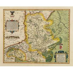
Limburgensis Ducatus Tabula Nova.
1612 ORTELIUS, A. / VRIENTS, J. B. - Limburgensis Ducatus Tabula Nova.
Date: Antwerp, 1606-1612
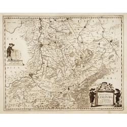
Ducatus Limburg.
1636 DANCKERTS II, C. - Ducatus Limburg.
Date: Amsterdam, 1636
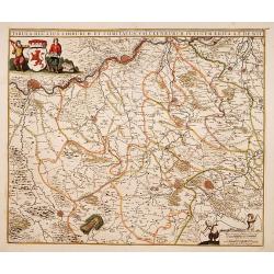
Tabula ducatus Limburch et comitatus Valckenburch. . .
1690 DE WIT, F. - Tabula ducatus Limburch et comitatus Valckenburch. . .
Date: Amsterdam, 1690
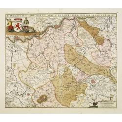
Tabula ducatus Limburch et comitatus Valckenburch. . .
1690 DE WIT, F. - Tabula ducatus Limburch et comitatus Valckenburch. . .
Date: Amsterdam, 1690
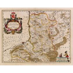
Ducatus Limburg.
1639 HONDIUS, H. - Ducatus Limburg.
Date: Amsterdam 1639
