Browse Listings in Asia > China > China General
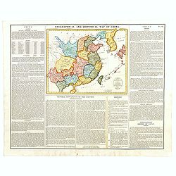
Geographical and Statistical Map of China. China and the Tributary Kingdom of Corea. For the Elucidation of Lavoisne's Genealogical, Historical, Chronological, & Geographical Atlas, by C. Gros, 1820. No. 64. Revised 1828.
Fine map of China and Korea, with a sub-title in top "Geographical and historical map of China.". The map is apparently a revised edition for 1828.The atlas was...
Date: London, 1842
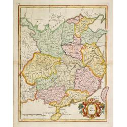
La Chine.
With decorative title cartouche lower right. Good detail of China's mainland with Taiwan and Hainan Province.
Date: Paris, 1767
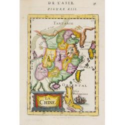
La Chine.
A charming small map of China, Taiwan, the Philippines, Korea, and Kyushu (Japan). By Allain Manesson Mallet (1630-1706), a well-traveled military engineer and geographer...
Date: Paris, 1720
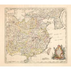
China as surveyed by the Jesuit Misionaries between the years 1708 & 1717 with Korea & the adjoining parts of Tartary.
The map is of interest for the use of Eastern Sea or Sea of China, the sea south of Korea. In the sea along the coast line of Korea : "Kau-Li-Qua or King:m of Korea&...
Date: London, c. 1760
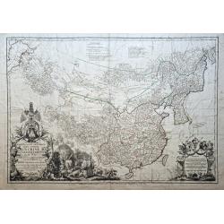
Carte la plus generale et qui comprend la Chine, la Tartarie chinoise et le Thibet. . .
With a quite elaborately pictorial cartouche, engraved by G.Kondet. Very detailed map of China, Tibet and Korea. Jean Baptiste Bourguignon d' Anville (1697-1782), French ...
- $2700 / ≈ €2308
Date: Paris, Dezauche, 1789–1799
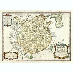
L'Empire de la Chine.
A fine map of China, Korea and Taiwan.Jacques Nicholas Bellin (1703-1772) was one of the most important and proficient French cartographers of the mid-eighteenth century....
- $450 / ≈ €385
Date: Paris, 1748
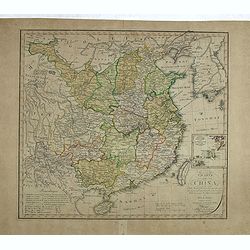
Charte von China nach Murdochischer Projection entworfen. ... Berichtiget, und gezeichnet von H.F.A. Stieler. . .
Uncommon map of China prepared by H.F.A.Stieler, with parts of Taiwan, Tibet, Mongolia and the Korean peninsula, with a great many place names, a key to (and brief explan...
Date: Weimar, 1804
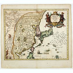
China Veteribus Sinarum Regio nunc Incolis Tame dicta.
Fine map of China, based on the first of Blaeu's maps of China. In the west by the Great Wall is shown, among Taiwan is named Pakan al I. Formosa, although Tayoan is name...
Date: Frankfurt am Main, 1638
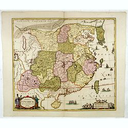
Imperii Sinarum nova descriptio.
Schenk and Valk's rare early 18th century issue of Janssonius milestone map of China, Korea and Japan after Martino Martini. Engraved by Johannes van Loon. The overall ba...
Date: Amsterdam, ca. 1660
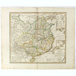
Charte von China nach Murdochischer Projection entworfen. ... Berichtiget, und gezeichnet von H.F.A. Stieler. . .
Uncommon map of China prepared by H.F.A.Stieler, with parts of Taiwan, Tibet, Mongolia and the Korean peninsula, with a great many place names, a key to (and brief explan...
Date: Augsburg, 1820
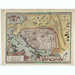
Chinae, olim Sinarum regionis. . .
The first printed map of China. It is signed by Ludovico Georgio, whose real name was Luis Jorge de Barbuda. He was a Portuguese Jesuit cartographer and besides that a sp...
Date: Antwerp, 1598
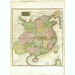
China.
Highly detailed map of China including Formosa (Taiwan), Hainan, and part of Luzon in the Philippines. The map show the Tract of the Hindoostan and Lion with the British ...
Date: Edinburgh, 1815
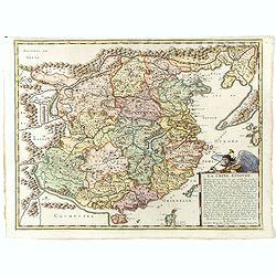
La Chine Royaume. . .
An important and attractive French map of the whole of China, northern tip of the Philippines, with a strangely curved Korea and an under-sized Taiwan here called "Y...
Date: Paris, 1656
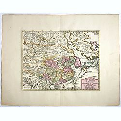
Nouvelle Carte de L'Empire De La Chine et les Pais circonvoisins - Nieuwe Kaart van t Keizerryk China en de aangrensende Landen.
Finely engraved map of China and Korea, with titles in both French and Dutch.The map extends west to the Gobi Desert and Tibet and shows Macao and Canton, among other cit...
Date: Amsterdam, 1750
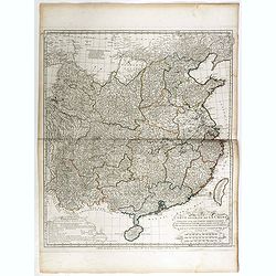
Carte Generale de la Chine Dressée sur les Cartes Particulieres Que l' Empereur Chang-Hi a fait lever sur les lieux. . . .
With a quite elaborately pictorial cartouche, engraved by the master engraver Guillaume-Nicolas de la Haye (1727 -1802). Large map showing the traditional limits of China...
- $750 / ≈ €641
Date: Paris, Dezauche, 1789–1799
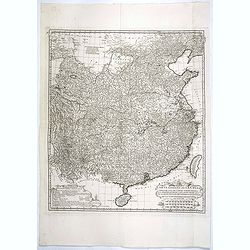
Carte Generale de la Chine Dressée sur les Cartes Particulieres Que l' Empereur Chang-Hi a fait lever sur les lieux..
Large map showing the traditional limits of China, including Hainan and Formosa in the South, and Quantong and parts of the Gobi Desert in the North.As the title notes, t...
Date: Paris, Ph.-D. Pierres, Clousier [- Moutard], 1785
