Browse Listings in Africa > North Africa > North Africa
![[69] Barbarie.](/uploads/cache/12841-250x250.jpg)
[69] Barbarie.
Charming chart of the harbour of the province of Barbarie in Syria. Showing town and harbour plan, with soundings, anchorages, rocks, shoals, fortifications and lighthous...
Date: Marseille 1764
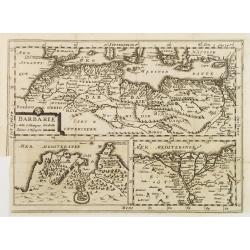
BARBARIE.
An uncommon and delightful map of Northern Africa extends from today's territory of Morocco as far as the Red Sea.With Inset maps of the Nile Delta and the Gulf of Tunis.
Date: Amsterdam, 1700
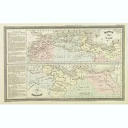
Marok Alger et Tunis. / Etat de Tripoli.
Two maps on one sheet. Finely engraved map of North Africa and Libya, prepared by A.H.Dufour and engraved by Giraldon-Bovinet. Published by Jules Renouard in his uncommon...
Date: Paris, Jules Renouard, ca.1840
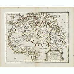
Partie septentrionale de l'Afrique contenant l'Egipte. . .
Scarce map of northern part of Africa, prepared by Nolin and published by L.J. Mondhare for his Atlas Général a l'usage des colleges et maisons d'education.. Louis Joseph...
Date: Paris, 1783
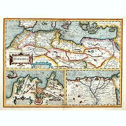
Barbaria. / Egypt / Tunesia.
Three maps on one sheet. Upper part, it shows the coast of Barbaria from Morocco to Egypt: the map on the left corner of Tunis includes a plan of Goletiae, and the right ...
Date: Amsterdam, 1641
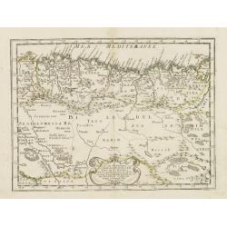
Partie de la Barbarie ou est le royaume d'Alger. . .
Coastal map of North Africa prepared by N.Sanson and published by Pierre Mariette.Published in an early edition of the small Sanson atlas L'Europe Dediée a Monseigneur . ...
Date: Paris, P. Mariette, 1667
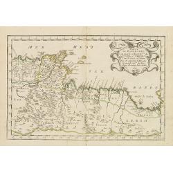
Partie de la Barbarie ou sont les royaumes de Tunis et Tripoli. . .
Coastal map of Tunisia and Libya prepared by N.Sanson and published by Pierre Mariette.Published in an early edition of the small Sanson atlas L'Europe Dediée a Monseigne...
Date: Paris, P. Mariette, 1667
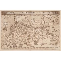
Barbariae et Biledulgerid, nova descriptio.
North-West Africa. Koeman speculated: In view of the important trading relationship between Antwerp and Africa, it is not impossible that the original was a manuscript ma...
Date: Antwerp, 1587
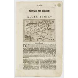
Tunetanum Regnum.
Small map representing Tunisia and Algeria, surrounded by text in Dutch.Nicolaes de Clerck (de Klerc) was active as engraver and publisher in Delft from 1599-1621.Include...
Date: Amsterdam, Cloppenburch, 1621
![Tabula IIII Aphricae. [with Prester John]](/uploads/cache/42945-250x250.jpg)
Tabula IIII Aphricae. [with Prester John]
Early Ptolemaic woodcut map of the regions of Africa that were known to the ancients. The twin lake sources of the Nile are located near the Mons Lune (Mountains of the M...
Date: Vienna, 1522- 1535
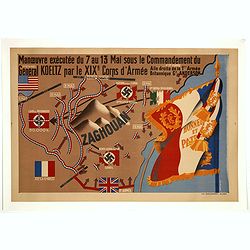
Manoeuvres executées du 7 au 13 mai sous le Commandement du général Koeltz,par le XIXe Corps d'Armée. . .
Poster by Gaston Ry [aka René Rostagny] (1902-1978) showing the allied manouvers in Tunesia. On May 4, 1943, the nineteenth CA offensive drew most of the German tanks to ...
Date: Alger, Bacconnier, 1943
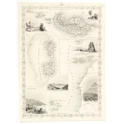
Islands in the Atlantic.
Decorative steel engraved map of Islands showing the Azores, Madeira, Bermuda, the Canaries and the Cape Verdes. Interlocking border design. Taken from "The illustra...
Date: London, ca. 1851
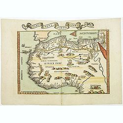
.Tabu nova partis Aphri.
This is Laurent Fries' 1535 edition of the earliest acquirable modern mapping of Africa north of the Equator.Based on Waldseemüller's map. The maps show Northern Africa a...
Date: Lyons, M. Servetus, 1535
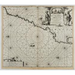
Paskaart van de Kuste van, Gualate en Arguyn. Beginnende van C. Bajador tot C. Blanco. . .
A nautical showing the northwestern coast of Africa, along Western Sahara from Cape Bojador to Cape Blanc. Ornate title cartouche in top right corner shows two main figur...
Date: Amsterdam, ca.1682
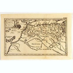
Mauritana et Africa Proria nunc Barbaria.
A pleasantly engraved map of the north-western part of Africa with the Canary Islands by Phillip Clüver after Strabo. With one cartouche.Phillip Cluver was a German geogr...
- $50 / ≈ €43
Date: Leiden, 1697
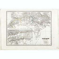
Afrique Septentrionale.
Detailed map of the Northern part of Africa, prepared by Charles V. Monin (fl.1830-1880) a French cartographer of Caen and Paris. Published in Atlas Universel de Géograph...
- $45 / ≈ €38
Date: Paris, 1845
