Browse Listings in Africa > North Africa > Morocco
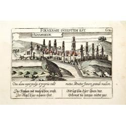
Azaamurum.
A very nice view of the town of Azemmour in Morocco. With a verse in two languages underneath the picture.The poet and topographer from Comothau, Daniel Meisner (1585-162...
Date: Frankfurt, 1623-1678
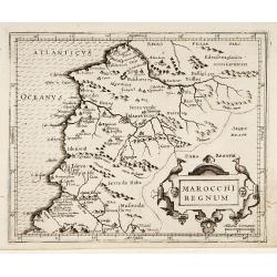
Marocchi Regnum.
From the Mercator/Hondius Atlas Minor. Early map of Morocco.
Date: Amsterdam, 1645
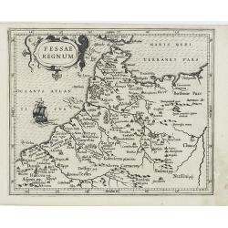
Fessae Regnum.
Charming small map of the northwestern tip of Africa with Fez showing as the principal city. Decorative title cartouche.From a Latin-text edition of Jodocus Hondius' Atla...
Date: Amsterdam, 1608
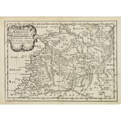
'T Koninkryk van Marocco, verdeelt in Zeven Landschappen, enz. . .
A Dutch edition of this finely engraved map of Morocco filled with mountain ranges, oases and cities. The map is adorned with a decorative cartouche.
Date: Amsterdam, ca. 1705
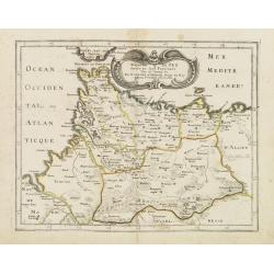
Royaume de Fez. . .
Map of Morocco prepared by N.Sanson and published by Pierre Mariette.Published in an early edition of the small Sanson atlas L'Europe Dediée a Monseigneur . . . Le Tellie...
Date: Paris, P. Mariette, 1667
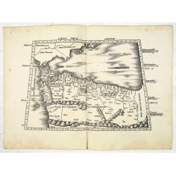
Tabula Prima Africa.
The map apart from depicting Morocco also shows southern Spain and the Balearic Islands. In north Africa the map extends eastwards toward modern day Algeria and to the we...
Date: Strasbourg, 1513
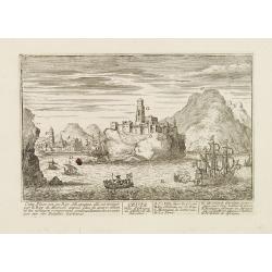
Ceuta Ville d'Afrique au D'estroit de Gibraltar.
A very RARE panoramic view of the city of Ceuta, including a numbered legend in both lower corners.Published by the brothers Chéreau, active in Paris at rue st.Jacques au...
Date: Paris c.1720
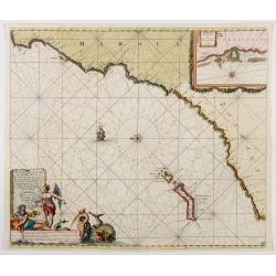
Nieuwe Pascaert vande Kust van Maroca en Zanhaga beginnend van C. Cantin tot C. Bajador, waer in ook te sien is 't I. Lancerota en 't I. Forteventura. . .
A very fine sea chart of the west coast of Morocco between C. Cantin to C. Bajador and the Canary Islands, Lanzarote and Fuerteventura. With a very large decorative title...
Date: Amsterdam, 1700
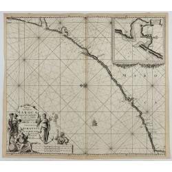
Paskaart van de kust van Maroca beginnende van Larache tot aan C. Cantin. . .
A nautical sea chart of the coast of Morocco. Insert at top right: 'Nieuwe Afbeelding van de Rivier Rio Rebata in 't Groot".Bottom right: chart number '32'. Compass ...
Date: Amsterdam, ca.1682
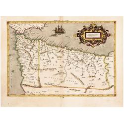
The Work of Two of History's Greatest Geographers. Morocco/ Algeria/ Tunisia/ Spain. Afr: I Tab:
A very attractive example of an early edition, the second, from Mercator’s definitive edition of Ptolemy’s geography. The map shows the area as it was known in the Roman ...
Date: Cologne, 1584
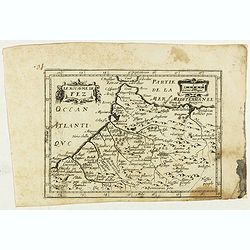
Le Royaume de Fez.
Rare map of Morocco published by Jollain in 1667. Published in "Trésor Des Cartes Geographiques Des Principaux Estats de Lunivers".This atlas is based upon Bois...
- $150 / ≈ €128
Date: Paris, 1667
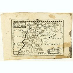
Le Royaume de Marroc.
Rare map of Morocco published by Jollain in 1667. Published in "Trésor Des Cartes Geographiques Des Principaux Estats de Lunivers".This atlas is based upon Bois...
- $100 / ≈ €85
Date: Paris, 1667
