Search Listings matching "levasseur"
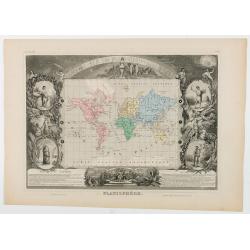
Planisphère.
One of the last decorative maps of the area. In side panels representations of the four seasons. In original o.l. color, from his "Atlas Universel Illustré". Th...
Date: Paris, 1850
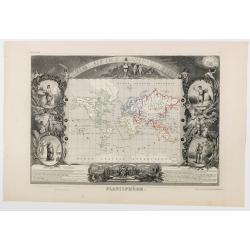
Planisphère.
One of the last decorative maps of the area. In side panels representations of the four seasons. In original o.l. color, from his "Atlas Universel Illustré". Th...
Date: Paris, 1850
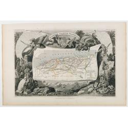
Algerie, Colonie Francaise.
A decorative 19th century map of the French colony Algeria. The map is surrounded with fully colored steel engravings depicting the countryside, battles, weaponry and pro...
Date: Paris, 1850
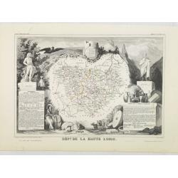
Dépt. De La Haute Loire. N°42.
Map of the Upper Loire region in France.Lovely map from one of the last decorative atlases of the nineteenth century.The rather simple map is framed by medallion portrait...
- $50 / ≈ €43
Date: Paris, A. Combette, 1852
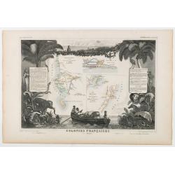
Colonies Françaises (en Afrique). N°91.
Handsome map divided into two sections shows a section of the coast of French West Africa titled 'Senegambie' (Senegal & Gambia) with a drawing of the Senegal River a...
Date: Paris, A. Combette, 1852
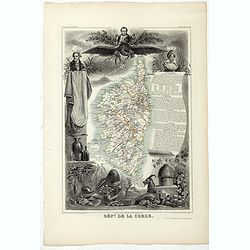
Dépt. De La Corse. N°19.
Map of the Corsica island.Lovely map from one of the last decorative atlases of the nineteenth century.The rather simple map is framed by elaborate border showing regiona...
Date: Paris, A. Combette, 1852
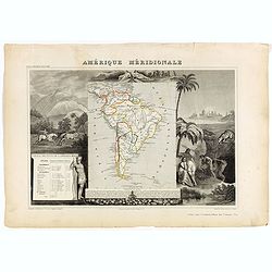
Amérique Méridionale.
Map of South America.Lovely map from one of the last decorative atlases of the nineteenth century.The rather simple map is framed by horses, Indians, jaguars, tapirs, and...
Date: Paris, A. Combette, 1852
![Dépt. du Morbihan. N°. 55. [ Morbihan, Belle-Ile ]](/uploads/cache/43041-250x250.jpg)
Dépt. du Morbihan. N°. 55. [ Morbihan, Belle-Ile ]
Map of the Morbihan region in Brittany. Including "Belle-Ile".Lovely map from one of the last decorative atlases of the nineteenth century.The rather simple map...
Date: Paris, A. Combette, 1852
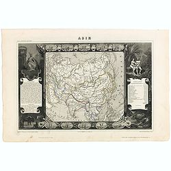
Carte de l'Asie.
Map of Asia framed by vignettes depicting costumes of the various peoples of Asia, Adam and Eve, and several exotic animals. Interesting population chart at right totalin...
Date: Paris, A. Combette, 1852
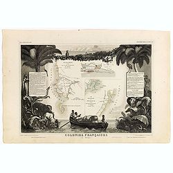
Colonies Françaises (en Afrique). N°91.
Handsome map divided into two sections shows a section of the coast of French West Africa titled 'Senegambie' (Senegal & Gambia) with a drawing of the Senegal River a...
Date: Paris, A. Combette, 1852
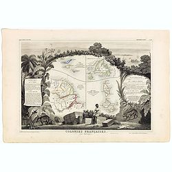
Colonies Françaises (en Amérique). N°92.
A very decorative 19th century map showing the islands of St Martin, St Pierre et Miquelon and Terra Nova. Includes also Guyana. The map is surrounded by portraits, anima...
Date: Paris, A. Combette, 1852
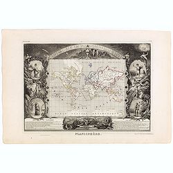
Planisphère.
One of the last decorative maps of the area. In side panels representations of the four seasons. In original o.l. color, from his "Atlas Universel Illustré". Th...
Date: Paris, A. Combette, 1852
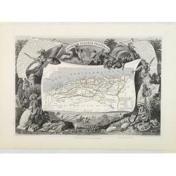
Algérie, Colonie Française. N°87.
Map of Algeria.Lovely map from one of the last decorative atlases of the nineteenth century.The rather simple map is framed by medallion portraits and coats of arms, and ...
Date: Paris, A. Combette, 1852
![Dépt. De L'Aude. N°10. [ Carcassonne ]](/uploads/cache/27089-250x250.jpg)
Dépt. De L'Aude. N°10. [ Carcassonne ]
Map of the Aude region, centered on the town of Carcassonne. Reaching to the right till the Mediterranean.Lovely map from one of the last decorative atlases of the ninete...
Date: Paris, A. Combette, 1852
![[Title page Atlas National Illustré . . .]](/uploads/cache/47736-250x250.jpg)
[Title page Atlas National Illustré . . .]
Title page of Atlas national illustré des 86 département de la France, divisé par arrondissements et en commune by Victor Levasseur in 1854, and published by A. Combette ...
- $175 / ≈ €150
Date: Paris, 1854
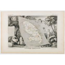
Colonies Françaises. Martinique - Amérique du Sud.
Carte du Département de la Martinique entourée de motifs décoratifs représentant les productions de l'île telles que le tabac et le sucre. In original o.l. color, from h...
Date: Paris, 1854
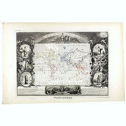
Planisphère.
One of the last decorative maps of the area. In side panels representations of the four seasons. In original out line color, from his "Atlas Universel Illustré"...
Date: Paris, 1845-1860
