Browse Listings in Asia
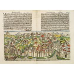
Constantinopolis.
A spectacular woodcut panorama of the ancient city of Constantinople, proporting to show the pre-Turk city (for example naming St Sophia). (235x522mm).One of the earliest...
Place & Date: Nuremberg, 12 July 1493
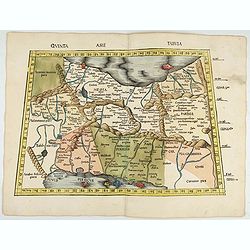
Quinta Asie Tabvla.
Woodblock map of Persia from Martin Waldseemüller's 1513 edition of Ptolemy, a landmark work that contributed to major advances in both Renaissance geography and map p...
Place & Date: Strasbourg, J. Schott, 1513
.Tabula III Asiae. [Caucass and Armenia.]
Ptolemaic map of the region south of the Caucasus Mountains and between the Caspian Sea as far south as the headwaters of the Tigris River in the south and the Black Sea,...
Place & Date: Lyons, M. Servetus, 1535
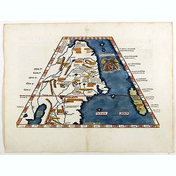
.Taprobana Ins. Tabula XII Asiae. [Sri Lanka.]
Ptolemy's mythical island of Taprobana originally became associated with Sri Lanka although it was sometimes confused with Sumatra. Taprobana, as it was called on most ea...
Place & Date: Lyons, M. Servetus, 1535
[Map of Palestine ]
Map of Palestine from "La Mer des Hystoires" published by Dupré, Paris, 1536 "La Mer des Hystoires" is a translation into French of the famous "...
Place & Date: Dupre, Paris, 1536
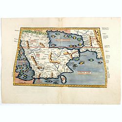
Tabula Sexta Asia (Arabian Peninsula)
This is a very desirable early Ptolemaic woodblock map of the Arabian Peninsula, here called Arabia Felix. The map is presented on a trapezoidal projection with par...
Place & Date: Vienna, 1525 -1541
[India and China]
Wood block printed map and one of earliest printed representation of India and China prepared Martin Waldseemüller. Based on the slightly larger map from 1513 published ...
Place & Date: Vienna, 1525 -1541
[East Asia]
Wood block printed map and one of earliest printed representation of East Asia and centered on Amenia, prepared Martin Waldseemüller. Based on the slightly larger map fr...
Place & Date: Vienna, 1525 -1541
.[Bangladesh, Burma, India, Thailand]
Wood block printed map and one of earliest printed representation of Bangladesh, Burma, India, Thailand prepared Martin Waldseemüller. Based on the slightly larger map f...
Place & Date: Vienna, Trechsel, G., 1525 -1541
.[India]
Wood block printed map and one of earliest printed representation of India prepared by Martin Waldseemüller. Based on the slightly larger map from 1513 published in &quo...
Place & Date: Vienna, Trechsel, G., 1525 -1541
.[Near east with Cyprus]
Wood block printed map and one of earliest printed representation of Near east with Cyprus prepared by Martin Waldseemüller. Based on the slightly larger map from 1513 p...
Place & Date: Vienna, 1525 -1541
.[Pakistan, Afghanistan]
Wood block printed Ptolemaic map of the region of present-day Pakistan and part of Afghanistan. Convoluted mountain ranges and river systems dominate the trapezoidal map....
Place & Date: Vienna, Trechsel, G., 1525 -1541
[Taprobana - Sri Lanka]
Wood block printed map and one of earliest printed representation of Ceylon prepared Martin Waldseemüller.Based on the slightly larger map from 1513 published in "P...
Place & Date: Vienna, Trechsel, G., 1525 -1541
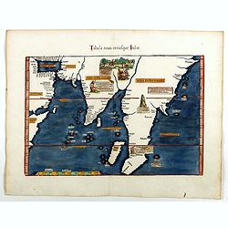
Tabula nova utriusque Indiae.
This is the fourth and last edition of this map based on Waldseemüller's first "modern" map of Asia. It follows that cartography without change but adds an int...
Place & Date: Vienne, 1541
Tabula Superioris Indiae & Tartariae maioris. (Modern Map of China, Japan, etc.)
Important map extending from Tartary in the north, to "Prov. Bocat" (Cambodia) in the south. "Tebet" is shown prominently, as is "Zinpangri"...
Place & Date: Vienne, 1541
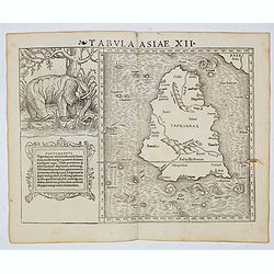
Tabula Asiae XII (Sri Lanka, with Elephant)
The FIRST edition of Munster's first modern map of Sri Lanka, which appeared in his "Geographia Universalis", first published in 1540. The Geographia was a new ...
Place & Date: Basel, Heinrich Petri, 1545
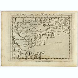
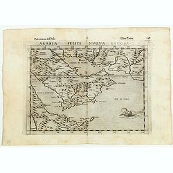
Arabia Felice Nuova Tavola.
Fine early map of Arabian peninsula, being one of the earliest modern maps of the region.Girolamo Ruscelli first published the map in his "La Geographi di Claudio To...
Place & Date: Venice, 1561
[Map of the Holy Land, including Cyprus]
Attractive full page longitudinal map of Palestine, Syria and Cyprus, cut by Hans Rudolf Manuel Deutsch. The shore line running from Southern Anatolia to the Nile Delta. ...
Place & Date: Basle, 1550-1580
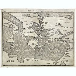
Tafel der Lender darin der Apostel Paulus geprediget hat.
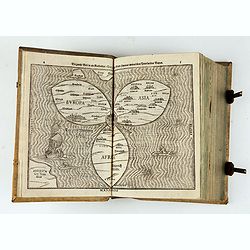
Rare wood block map depicting the Mediterranean, with an over-sized Cyprus from the final Dutch edition of Heinrich Bünting's famous Itinerarium Sacrae Scripturae, a boo...
Place & Date: Magdeburg, 1581
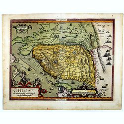
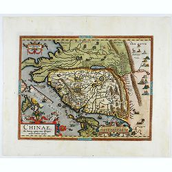
Chinae, olim Sinarum Regionis, nova descriptio. Auctore Ludovico Georgio.
The first map of China ever to appear in a Western atlas, west to the top. The first state without "las Philiooinas" somewhere in 1587 added to the plate. When ...
Place & Date: Antwerp, 1584
Itinerarium Sacrae Scripturae. Das ist: Ein Reisebuch...
Itinerarium Sacrae Scripturae. Das ist: Ein Reisebuch, Uber die gantze heilige Schrifft, in zwey Bücher geteilet... Zuvor gemehret mit einem Büchlein De monetis et mens...
Place & Date: Magdenburg, 1587
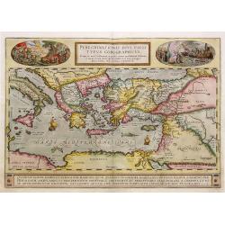
Peregrinationis Divi Pauli Typus corographicus. . .
A splendid map depicting the travels of Paulus. With two fine scenes in top. Showing the countries along the Mediterranean, including Cyprus and Italy. A first edition wi...
Place & Date: Antwerp, 1595
Chinae, olim Sinarum regionis. . .
The first printed map of China. It is signed by Ludovico Georgio, whose real name was Luis Jorge de Barbuda. He was a Portuguese Jesuit cartographer and besides that a sp...
Place & Date: Antwerp, 1598
Arabia Felice Nuova Tavola.
Fine early map of Arabian peninsula, being one of the earliest modern maps of the region.Girolamo Ruscelli first published the map in his "La Geographi di Claudio To...
Place & Date: Venice, 1598
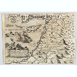
Quella Tavola E l'Antica Siria ch'Era destinta in dodici . . .
Very rare view of Holy Land published in the first edition of "Viaggio da Venetia, a Costantinopoli. Per Mare, e per Terra, & infieme quello di Terra Santa. Da G...
Place & Date: Venice, Giacomo Franco, 1598
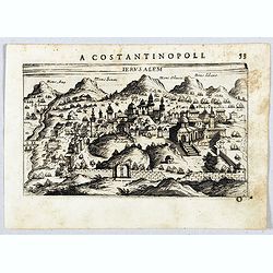
Jerusalem.
Very rare view of Jerusalem published in the first edition of "Viaggio da Venetia, a Costantinopoli. Per Mare, e per Terra, & infieme quello di Terra Santa. Da G...
Place & Date: Venice, Giacomo Franco, 1598
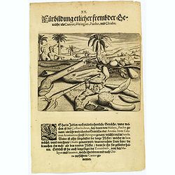
Plants, including the canior, diringuo, pucho and chiabe.
In the Indies there are many delightful plants, which include the ‘costus indicus’ (named by the Malays 'pucho') that has a wonderful aroma. Then there is the ‘cala...
Place & Date: Frankfurt, 1598
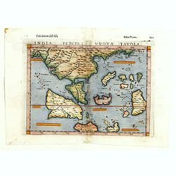
India Tercera Nuova Tavola.
The 1598 edition of this early map of South East Asia. Just to the west and south of Malacca one will notice ‘Camatra’ (Sumatra) and Java. China with Canton in the up...
Place & Date: Venice, 1598
XIX. Venatio Elephantum in Pegu. [How elephants are caught in Pegu]
How elephants are caught in Pegu. The king of Pegu had a particular method of transporting elephants. He had a great enclosure built of strong wooden posts, with a trap d...
Place & Date: Frankfurt, 1599
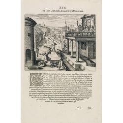
Punishment of China.
The Chinese way of a punishment from Linschoten's famous voyages to the East of 1583-92 here published by De Bry the year after they first appeared as a separate book. Fr...
Place & Date: Frankfurt, 1599
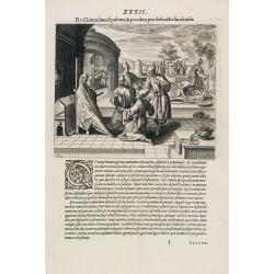
Punishment of a criminal in China.
Punishment of a criminal in China from Linschoten's famous voyages to the East of 1583-92 here published by De Bry the year after they first appeared as a separate book. ...
Place & Date: Frankfurt, 1599
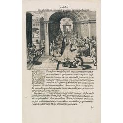
Feast of China.
A scene of a Chinese dinner feast from Linschoten's famous voyages to the East of 1583-92 here published by De Bry the year after they first appeared as a separate book. ...
Place & Date: Frankfurt, 1599
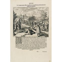
Funeral in China.
A scene of a funeral in China from Linschoten's famous voyages to the East of 1583-92 here published by De Bry the year after they first appeared as a separate book. From...
Place & Date: Frankfurt, 1599
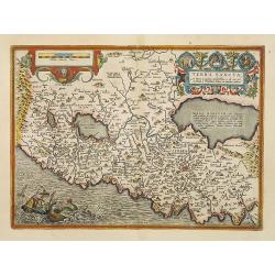
Terra Sancta.
This is the most modern of Ortelius' maps of the Holy Land. It focuses specifically on the Holy Land and is oriented with east of the top. Ortelius used as a model the wa...
Place & Date: Antwerp, 1603
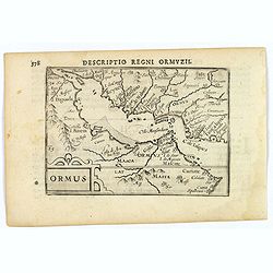
Ormus
A lovely map of miniature map the Kingdom of Ormus, published by Petrus Bertius, and published in Amsterdam at the beginning of the seventeenth century. With an attractiv...
Place & Date: Amsterdam, 1606
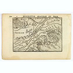
Aracam.
A rare miniature map of Thailand and Burma. Title cartouche on the upper left corner. First published in 1598 in his 'Caert-Thresoor', the plates were executed by the mos...
Place & Date: Amsterdam, 1606
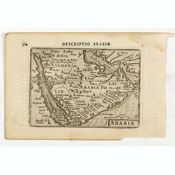
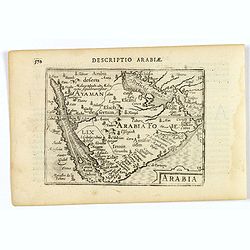
Descriptio Arabie / Arabia.
A rare miniature map of the Arabian Peninsular. The title cartouche on the lower right corner.First published in 1598 in his Caert-Thresoor, the plates were executed by t...
Place & Date: Amsterdam, Cornelis Claes, 1606
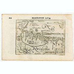
Iava Maior.
Very fine miniature map of Java, engraved by Benjamin Wright (1575-1613). This early map contains detailed geography and nomenclature around the northern coastline of the...
Place & Date: Amsterdam, Cornelis Claes, 1606
Arabia
A lovely miniature map the Arabian Peninsular, published by Petrus Bertius, and published in Amsterdam at the beginning of the seventeenth century. With an attractive s...
Place & Date: Amsterdam, 1606
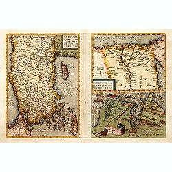
1) Natoliae,.. 2) Aegypti recentior.. 3) Carthaginis..
To the left a map of Turkey. Oriented with west at bottom. Right side of sheet contains a map of northern Egypt showing the Nile River delta, and a map the vicinity of Tu...
Place & Date: Antwerp, 1570-1609
![.Tabula III Asiae. [Caucass and Armenia.]](/uploads/cache/27894-250x250.jpg)
![.Taprobana Ins. Tabula XII Asiae. [Sri Lanka.]](/uploads/cache/27928-250x250.jpg)
![[Map of Palestine ]](/uploads/cache/42176-250x250.jpg)
![[India and China]](/uploads/cache/33875-250x250.jpg)
![[East Asia]](/uploads/cache/33873-250x250.jpg)
![.[Bangladesh, Burma, India, Thailand]](/uploads/cache/33867-250x250.jpg)
![.[India]](/uploads/cache/33861-250x250.jpg)
![.[Near east with Cyprus]](/uploads/cache/33857-250x250.jpg)
![.[Pakistan, Afghanistan]](/uploads/cache/33849-250x250.jpg)
![[Taprobana - Sri Lanka]](/uploads/cache/33847-250x250.jpg)
![[Map of the Holy Land, including Cyprus]](/uploads/cache/33436-250x250.jpg)
![XIX. Venatio Elephantum in Pegu. [How elephants are caught in Pegu]](/uploads/cache/29795-250x250.jpg)
