Browse Listings in Polar maps
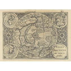
Polus Arcticus cum vicinis regionibus.
1608 MERCATOR, G. / HONDIUS, J. - Rare map of the North Pole, shown as a rocky island surrounded by 'in-drawing seas' between four huge islands
$550 / ≈ €492
Date: Amsterdam, 1608
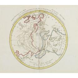
Carte Phisique de la Mer Glaciale Arctique. . .
1783 MONDHARE, L.J. / NOLIN, J.B. - In North America, there is a large Mer de L'Ouest
$300 / ≈ €268
Date: Paris, 1783
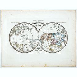
Mappamondo Carta d'Insieme.
1858 MARMOCCHI, F.C. - Mappamondo Carta d'Insieme.
$150 / ≈ €134
Date: Genova, Paolo Rivara fu Giacomo, 1858
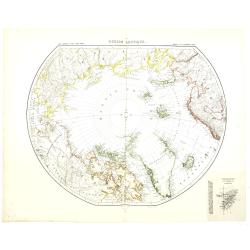
Région arctique.
1877 VIVIEN DE SAINT MARTIN, L. - Map of the North Pole, together with the often missing overlay with the Arctic expedition of Captain Nares.
$250 / ≈ €224
Date: Paris, Hachette, 1877
