Homann Grosser Atlas
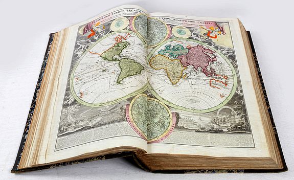
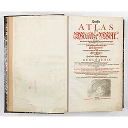
HOMANN, Johann Baptist Johann and Gabriel DOPPELMAYR. - Grosser Atlas Über die Gantze Welt wie diese sowol nach Göttlicher Allweisen Schöpfung aus den heutigen Grund Sätzen der berümtesten Astronomorum Nicolai Copernici und Tychonis de Brahe, in der Bewesgung und unermeßlichen Weite des Himmels als auch in dem Umfang unserer mit Wasser umgebenen allgemeinen Erd Kugel zu betrachten Samt einer kurtzen Einleitung zur Geographie worinnen die Erde 1. Mathematice: Nemlich was sie mit der himmlischen Sphaera für eine Correspondenz habe. 2. Physice: Wie sie in ihren natürlichen Stücken durch Wasser und Land unterschieden. 3. Historice: Wie sie in ihre darauf befindliche Monarchien, Königreichen/Staaten und Herrschafften auch nach Ausbreitung verschiedener Religionen eingetheilet/deutlich beschrieben durch Herrn Johann Gabriel Doppelmayr/der kays. Leopoldinisch und Carolinischen Academiae Natur. Curio. wie auch der Königl. Preussischen Siocietät der Wissenschaften Mitglied und Math. PP. Ordin, allhier/und mit mehr als hundert auserlesenen theils Astronomischen/meistentheils aber Geographischen Charten in welchen alle bißher zu Wasser und Land geschehene Land Entdeckungen aus denen berühmtesten Autoribus dieses Seculi anbemercket worden in Kupffer gebracht und angefertiget von IOHANN BAPTIST HOMANN, Der Röm. Kays. Majestät Geographo, und Mit Glied der Königl. Preussischen Societät der Wissenschaften. Nürnberg in Verlegung des Auctoris. Gedruckt bei Johann Ernst Adelbulner M D CC XVI.
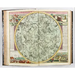
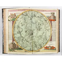
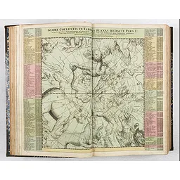
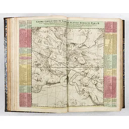
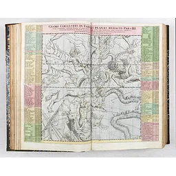
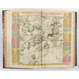
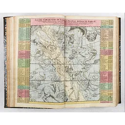
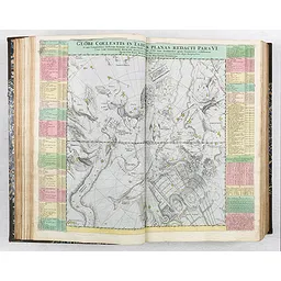
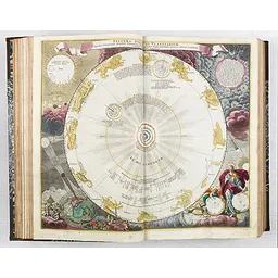
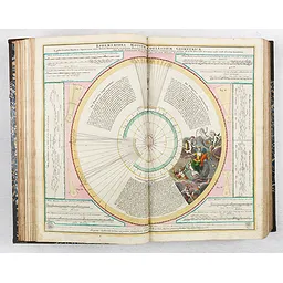
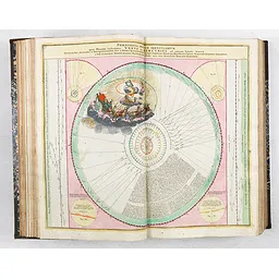
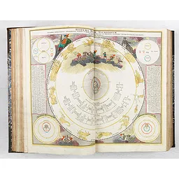
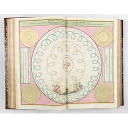
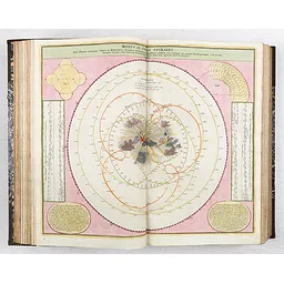
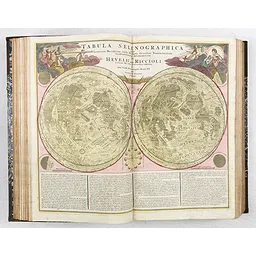
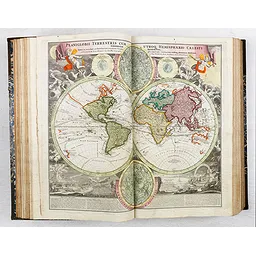
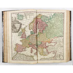
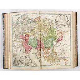
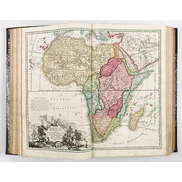
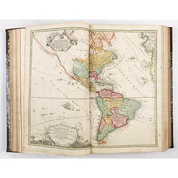
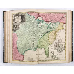
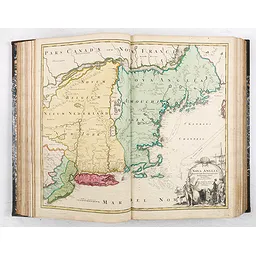
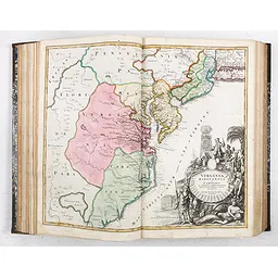
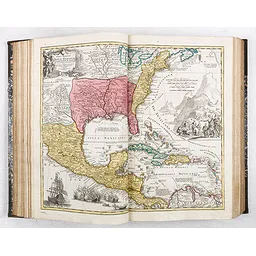
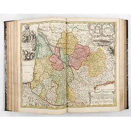
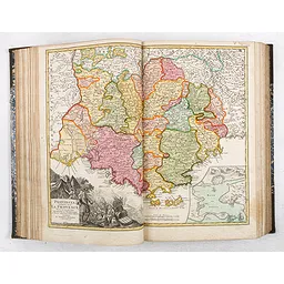
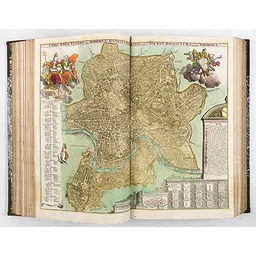
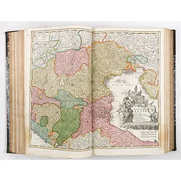
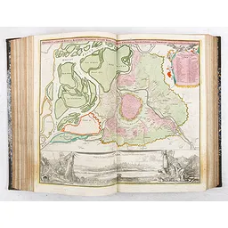
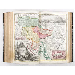
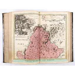
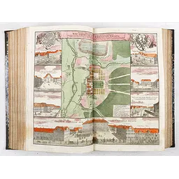
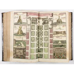
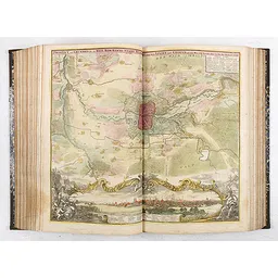
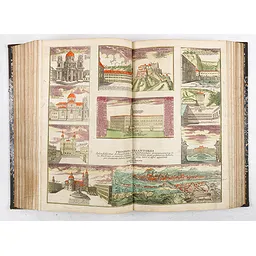
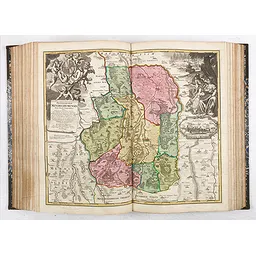
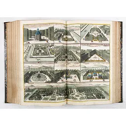
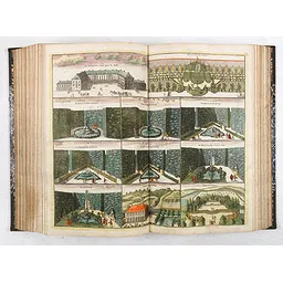
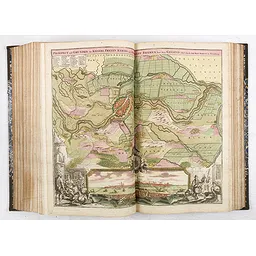
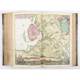
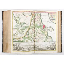
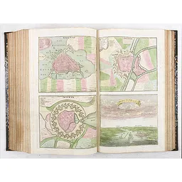
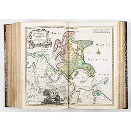
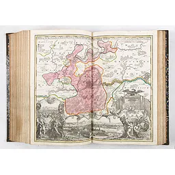
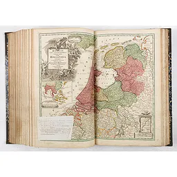
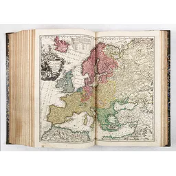
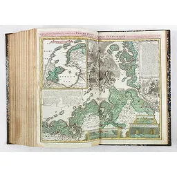
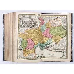
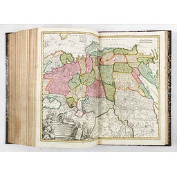
Homann's "Grosser Atlas" was first published in 1716 with 117 maps. This example is a greatly expanded version of his "Grosser Atlas," which contains 177 maps. The title page and the spine bear the 1716 date. The atlas contains 8 celestial charts, 6 representations of the solar system and a lunar map. The terrestrial maps cover all parts of the world, including America with maps of the Western Hemisphere, Mississippi, Nova Anglia, and Virginia.
The 1716 Grosser Atlas über die gantze Welt included several Doppelmayr/Homann astronomical plates that had already appeared before they were gathered into the 1742 Doppelmayer celestial atlas
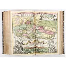
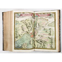
Large folio (540 x 345mm.), 19th-century calf-backed marbled paper boards, spine gilt in compartments, a few plates with small repairs or stains. The atlas contains a series of 12 plates, including the Siege of Friedrichshall in 1718. The atlas must therefor be punlished around 1718 or slighlty later.
POR
Content
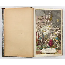
- The atlas starts with a beautifully coloured frontispice "Atlas novus terrarum orbis imperia, regna et status exactis tabulis geographice demonstrans, opera iohannis baptistae homanni sacrae caes. maj. geographi, e reg boruss societ scient membri noribergae." Engraved by Caspar Luyken.
- Letterpress title-page printed in red and black with an engraved map of the northern hemisphere in a polar projection
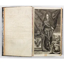
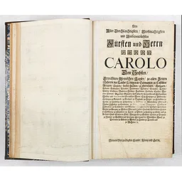
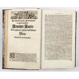
- Two leaves dedication to Charles VI with engraved head vignette.
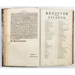
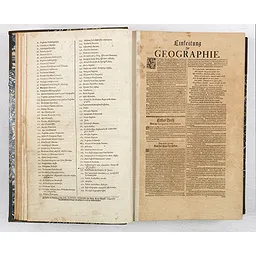
- One leaf index, listing 1-179 items, including frontispiece (1), title page (2), introduction (3), Map of Egypt is extra and title and number 173, added in brown ink.
- 42 pp. Einleiting zur Geographie (Introduction to Geography by Johann Gabriel Doppelmayr)
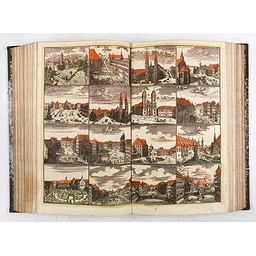
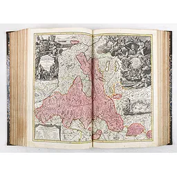
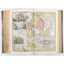
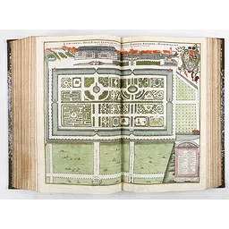
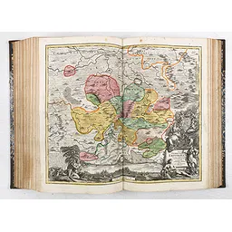
- together 177 double-page colored copperplate celestial and terrestrial maps and plates.
Contents of the maps:
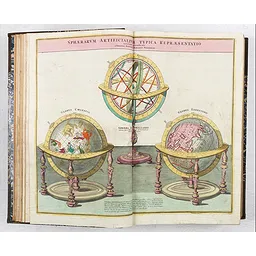
Celestial globe/armillary sphere/terrestrial globe; 8 celestial maps; 6 representations of the solar system; lunar map;
World map;
Europe (2); Asia; Africa; America; Mississippi; Nova Anglia; Virginia; Central America with Texas, Floida and Mexico;
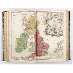
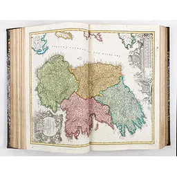
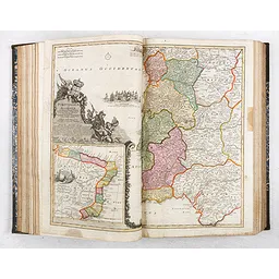
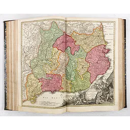
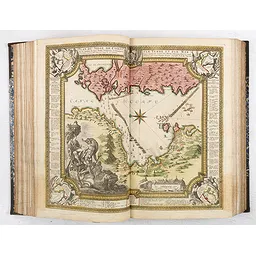
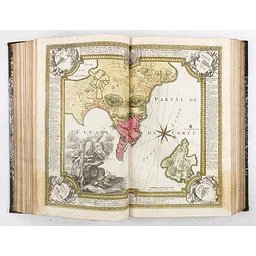
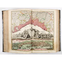
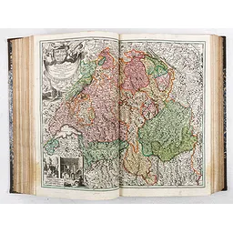
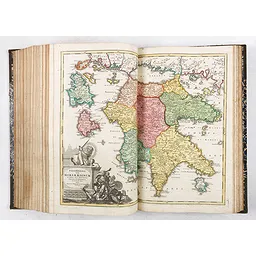
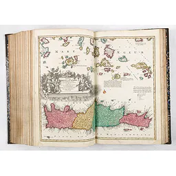
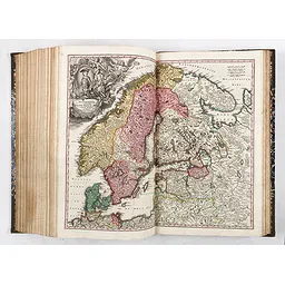
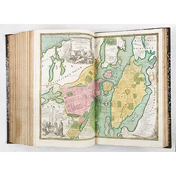
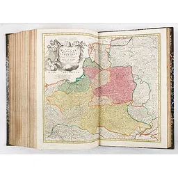
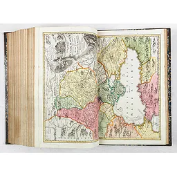
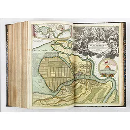
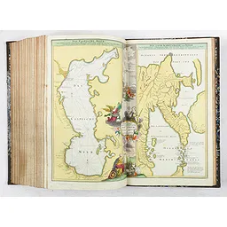
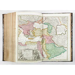
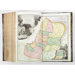
British Isles (4); Iberian Peninsula (3 incl. Portugal with inset map of Brazil); France (8); Italy (10 incl. plan of Rome); Siege of Corfu (2); Germany (56); Switzerland; Austria (10); Bohemia and Moravia (10); Silesia; Benelux (7); Greece (3); Egypt; Hungary (3); Danube (3); Scandinavia (12 including the Siege of Friedrichshall in 1718); Poland; Livonia and Courland; Ukraine; Russia (3 including a map of St. Petersburg); Caspian Sea; Ottoman Empire (2); Palestine;
Wasser-Flutt in Nieder-Teutschland (Storm surge of 1717);
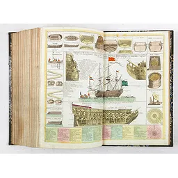
Oorlog oder Kriegs-Schiff (warship);
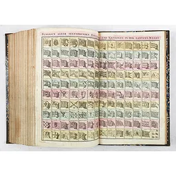
Flaggen aller Seefahrenden Potenzen (flags of all sea-faring nations);
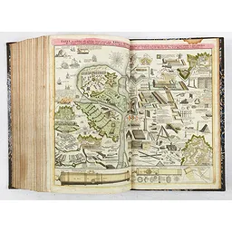
Kriegs-Kust (art of war);
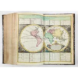
Basis geographiae recentioris astronomica. (A second world map)
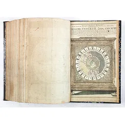
([Geogra]phische Universal Zeig und Sch- [lag-Uhr]( a chronometer for determining longitude prepared by Landteck.) This print is missing the left and right outer parts and has been pasted on the endpaper. The world, centered on the North Pole, is depicted on the dial of a beautiful full-size mantel clock, with California as an island with a rounded northern coastline, and Japan included. Companies Land in the northern Pacific. Around this world map the sky, half of it sunlit, the other half dark with stars. Around the sky is a rim with the names of the months and the signs of the zodiac. In the following rim, the Roman numerals indicate the time. On top, of the clock, an explanation in German. Zacharias Lanteck prepared the clock. A first edition, without the privilege.
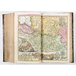
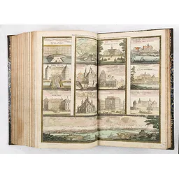
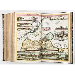
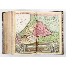
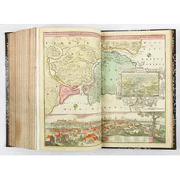
Some maps with large city views in the lower part, including Belgrade, Bremen, Danzig, Erfurt, Erlangen, Frankfurt am Main, Genoa, Hamburg, Hildburghausen, Klagenfurt, Constantinople, Copenhagen, Nuremberg, Stockholm, Stralsund, Vienna, and Wismar.
Johann Gabriel Doppelmayr (1677-1750) was a German astronomer, physicist, mathematician and cartographer. Originally intending to study law, Doppelmayr discovered a love for math and physics while attending the University of Altdorf in 1696. He spent several years traveling and studying across Europe. By 1704 he was made a professor at Aegidien Gymnasium, where he had studied as a boy. It was a position he would hold for the rest of his life, dedicated to lecturing, the sciences and experimentation. One of Johann Gabriel Doppelmayr's most famous works was "Atlas novus coelestis," published in 1742. The book was "a collection of diagrams with explanations intended as an introduction to the fundamentals of astronomy. Besides star charts and a selenographic map, the Atlas includes diagrams illustrating the planetary systems of Copernicus, Tycho, and Riccioli; the elliptic theories of Kepler, Boulliau, Seth Ward, and Mercator; the lunar theories of Tycho, Horrocks, and Newton; and Halley’s cometary theory."
Reference: Imago Mundi, vol. 49.; C. Sandler, Johann Baptista Homann, the Homann heirs, Matthäus Seutter and their maps. Cat. d. Homann-Ausst. Nbg. 2002, No. 104 and Fig. 71.
Das Flaggschiff des Verlages war der Große Atlas, der den Großteil der angebotenen Karten erhielt... Der Große Atlas von 1716 brachte den seit 1707 kontinuierlich fortgesetzten Ausbau des umfangreichsten Verlagsatlas zu einem vorläufigen Abschluß. Der Inhalt konnte als ausgewogen gelten, so dass erst zwischen 1722 und 1724 ein erweitertes Inhaltsverzeichnis erstellt werden musste. Der Große Atlas ist deshalb zu Recht einer der bekanntesten Atlanten des Verlages und ein typisches Beispiel für einen umfangreichen Atlas des Homännischen Unternehmens.