Browse Listings
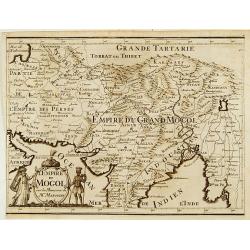
L'Empire du Mongol sur les Memoires de Mr. Manchouri.
Map of Empire of the Mogol from Memoirs of Mr. Manouchi (Manucci) . Published in Histoire Generale de l´Emppire du Mogol depuis sa Fondation jusqu´a Present, sur les Me...
Date: Paris 1715
Selling price: ????
Please login to see price!
Sold
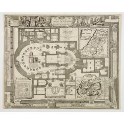
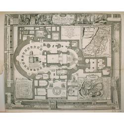
Plan du Saint Sepulchre..
Bird\'s-eye view of ancient Jerusalem. With 3 inset maps: \"Carte de la Terre Sainte...\", showing Holy Land with the route which Jesus took through Galilea, Sa...
Date: France, 1715
Selling price: ????
Please login to see price!
Sold in 2009
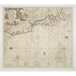
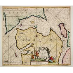
Paskaart vande West Kust van Jutland Van Busem tot aen 't Jutlandsche Riff.
A fine chart of the west coast of Schleswig-Holstein with the North Frisian Islands, Pelworm to Sylt and the west coast of Jutland. With a very large title-cartouche.From...
Date: Amsterdam 1715
Selling price: ????
Please login to see price!
Sold
COLLEGII REGALIS APUD CANTABRIGIENSES SACELLUM / KINGS COLLEGE CHAPPEL IN CAMBRIDGE
A large, superb profile of the famous Kings College Chapel of Cambridge University, as seen in the very early years of the 18th century. The title of the view is shown in...
Date: London, c. 1715
Selling price: ????
Please login to see price!
Sold
Paskaart van t' Schager-Rak Soo 't by de Oost-vaerende Zee Luyden gemeenlyk bezylt wordt.
The successful van Keulen firm published charts, pilot guides and sea-atlases for over 2 centuries. Founded by Johannes van Keulen, his son Gerard led the firm to its zen...
Date: Amsterdam, 1715
Selling price: ????
Please login to see price!
Sold
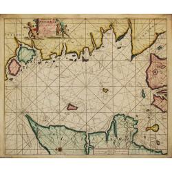
Paskaart Voor een gedeelte van de Oost-Zee. Beginnende van Schenkkenes tot aan Stokholm.
The successful van Keulen firm published charts, pilot guides and sea-atlases for over 2 centuries. Founded by Johannes van Keulen, his son Gerard led the firm to its zen...
Date: Amsterdam, 1715
Selling price: ????
Please login to see price!
Sold
Pascaart Om door de Sond En de Droogen te Seylen Stekkende van Kol tot Meun.
The successful van Keulen firm published charts, pilot guides and sea-atlases for over 2 centuries. Founded by Johannes van Keulen, his son Gerard led the firm to its zen...
Date: Amsterdam, 1715
Selling price: ????
Please login to see price!
Sold
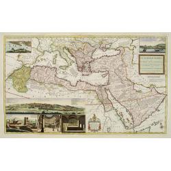
The Turkish Empire in Europe, Asia and Africa..
A fascinating, very decorative map of Turkey, the Arabian peninsular, the Mediterranean and countries bordering. The map is covered with detailed annotations, and has lar...
Date: London 1715
Selling price: ????
Please login to see price!
Sold
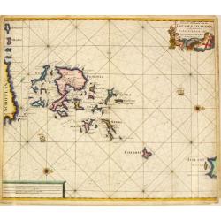
Nieuwe Paskaart van de Orcades Eylanden
The successful van Keulen firm published charts, pilot guides and sea-atlases for over 2 centuries. Founded by Johannes van Keulen, his son Gerard led the firm to its zen...
Date: Amsterdam, 1715
Selling price: ????
Please login to see price!
Sold in 2010
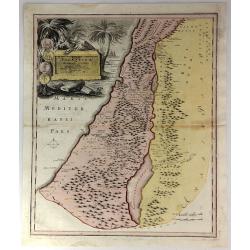
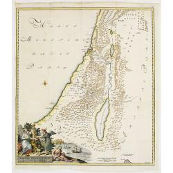
Facies Palaestinae Ex Monumentis Veteribus descripta ab Hadriano Relando.
Map of Iudaea, Samaria and Galilaea, with decorative inset of three figures overlooking a bay with a city in the background.Prepared by H.Reland (1676-1718) a professor a...
Date: Amsterdam 1715
Selling price: ????
Please login to see price!
Sold
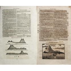
L'Isle de Jan Mayen / La poincte Nordouest / Beerenberg.
The successful van Keulen firm published charts, pilot guides and sea-atlases for over 2 centuries. Founded by Johannes van Keulen, his son Gerard led the firm to its zen...
Date: Amsterdam, 1715
Selling price: ????
Please login to see price!
Sold
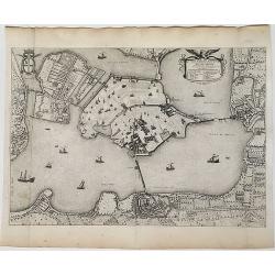
[Varsovie]
Bird's eye-view of Warsaw. With a smaller frontal view of the town in the lower part and 2 insets in the upper corners illustrating Louwitz or Lowicz Castle. Engraved by ...
Date: Paris, ca. 1715
Selling price: ????
Please login to see price!
Sold in 2008
Nieuwe Paskaert Vande oost Cust van Engeland en Schotland. Beginnende van 't Flamburger Hooft tot aan de Rivier van Eedenborg. Inset: The River Tyne.
The successful van Keulen firm published charts, pilot guides and sea-atlases for over 2 centuries. Founded by Johannes van Keulen, his son Gerard led the firm to its zen...
Date: Amsterdam, 1715
Selling price: ????
Please login to see price!
Sold in 2008
Nieuwe Wassende Gradige Pas-kaart van een gedeelte der oost-kust van Engeland, Strekkende van Eckles tot Flambrouger Hooft , in zig begrypende de Rievier van Hull.
The successful van Keulen firm published charts, pilot guides and sea-atlases for over 2 centuries. Founded by Johannes van Keulen, his son Gerard led the firm to its zen...
Date: Amsterdam, 1715
Selling price: ????
Please login to see price!
Sold in 2011
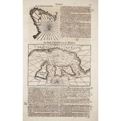
La Baye d' Hollande ou de Maurits / Baye de Magdaleine.
The successful van Keulen firm published charts, pilot guides and sea-atlases for over 2 centuries. Founded by Johannes van Keulen, his son Gerard led the firm to its zen...
Date: Amsterdam, 1715
Selling price: ????
Please login to see price!
Sold in 2019
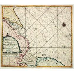
Terra Neuf, en de Custen van Nieu Vranckryck, Nieu Engeland, Nieu Nederland, Nieu Andalusia, Guiana en Venezuela
L. Renard's edition of Frederick de Wit's magnificent Atlantic chart oriented to the East. From the 1715 edition of "Atlas de la Navigation et du Commerce". A f...
Date: Amsterdam, 1715
Selling price: ????
Please login to see price!
Sold in 2012
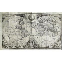
Orbis Terrarum Nova et Accuratissima Tabula
Superb double-hemisphere copper engraved map of the world. Shows California as an island, large \"Compagnies Land\" between the Asian and American continents, a...
Date: Leiden, c1715
Selling price: ????
Please login to see price!
Sold in 2008
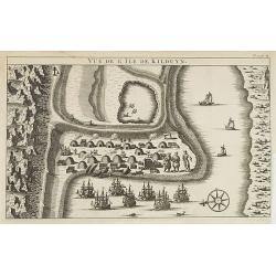
Vüe de l'Ile de Kilduyn.
A view of the Kilduyn Island on the Kola River in Russia. In upper right corner "To. 3. pa.24."The Kola River in the northern part of the Kola Peninsula...
Date: 1715
Selling price: ????
Please login to see price!
Sold in 2009
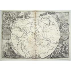
Orbis Per Creationem Institutus. . .
An uncommon Dutch Bible map of the Middle East and Holy Land, including a map of Paradise, a map of the Exodus, a map of Israel divided among the Tribes, a map of Canaan,...
Date: 1715
Selling price: ????
Please login to see price!
Sold in 2010
Planisphere Terrestre Suivant les nouvelle Observations des Astronomes Dressee et presente Roy Tres Chretien par Mr. Cassini...
Karpinski considers this the first strictly scientific map of the world. This was the first map to set standard longitudes for known places based on scientific calculatio...
Date: Leiden, c. 1715
Selling price: ????
Please login to see price!
Sold in 2016
Plan du Saint Sepulchre..
Bird's-eye view of ancient Jerusalem. With 3 inset maps: "Carte de la Terre Sainte...", showing Holy Land with the route which Jesus took through Galilea, Samar...
Date: France 1715
Selling price: ????
Please login to see price!
Sold in 2009
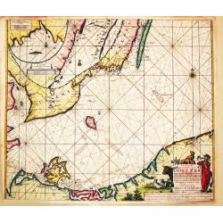
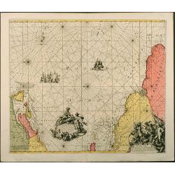
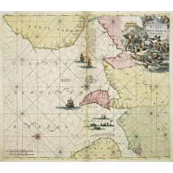
Russiae et Novae Zemblae Maritimae.
Splendid sea-chart of the Barents Sea coast from Murmansk to Novaya Zemlya. The chart is embellished with sailing ships, whaling scenes. In the upper right corner a title...
Date: Amsterdam, 1715
Selling price: ????
Please login to see price!
Sold in 2009
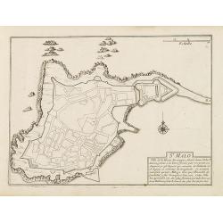
St. Malo
Fortification town-plan of St. Malo in Brittany. Wind rose and explanatory panel in lower right corner.Nicolas de Fer [1646-1720] was one of the most prolific and influen...
Date: Paris, 1715
Selling price: ????
Please login to see price!
Sold
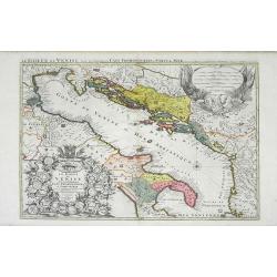
Le Golfe de Venise Avec ses Principaux Caps Promontiores & Ports de Mer. . .
Map of the Gulf of Venice also known as the Adriatic Sea by Sanson and published by Covens and Mortier. The colored areas include southern Italy to the west and Dalmatie ...
Date: Amsterdam, c. 1715
Selling price: ????
Please login to see price!
Sold in 2010
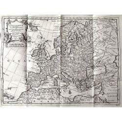
L'EUROPE suivant les Nouvelles Observations...
Charming map of Europe, including parts of North Africa, the Near East, and Russia. Very detailed map with many place names (cities, rivers, lakes, islands, etc). Decorat...
Date: Leiden, c.1715
Selling price: ????
Please login to see price!
Sold in 2011
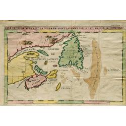
L'Ile De Terre Neuve Et Le Golfe De Scint Laurent Selon Les Meilleurs Memoires.
A well engraved chart that details the sea around the outlet of the St. Laurence River and the Gulf of St. Lawrence, Newfoundland, Canada. Made by J.F. Bernard, and publi...
Date: Amsterdam, 1715
Selling price: ????
Please login to see price!
Sold in 2019
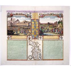
SUCCESSION DES EMPEREURS DU JAPON AVEC UNE DESCRIPTION du MEURTRE DE L'EMPEREUR CUBO ET LA.
The plate is showing the murder of the Emperor Cubo at Kyoto, and the arrival of one of the early Dutch Ambassadors to Japan. A small map of Honshu in a central panel. Fr...
Date: Amsterdam, 1715
Selling price: ????
Please login to see price!
Sold in 2020
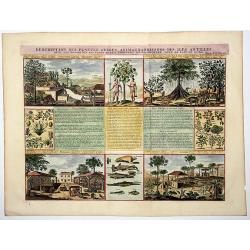
Descriptions des Plantes, Arbres, Animaux & Poissons des Iles Antilles.
An interesting sheet with eight detailed views illustrating fauna and flora on the Antillean islands, and how the slaves make sugar, with descriptive French text, from Ch...
Date: Amsterdam, 1715
Selling price: ????
Please login to see price!
Sold in 2020
[Varsovie].
Bird's eye-view of Warsaw. With a smaller frontal view of the town in the lower part and 2 insets in the upper corners illustrating Louwitz or Lowicz Castle. Engraved by ...
Date: Paris, ca. 1715
Selling price: ????
Please login to see price!
Sold in 2020
Ville et Environs de Mantoue.
An extremely detailed city map of Mantova in Lombardia, published by Pierre Mortier, after Blaeu. An attractive birds-eye view including all the city's main buildings, in...
Date: Amsterdam, 1704/1715
Selling price: ????
Please login to see price!
Sold in 2022
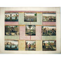
VUE & DESCRIPTION DE LA VILLE DE SIAM . . .
A copper engraved sheet with set of 9 decorative views of Thailand, including the king of Siam riding on his elephant. A very decorative item ! - It features the capital ...
Date: Amsterdam, ca 1715
Selling price: ????
Please login to see price!
Sold in 2021
Habillemens Des Dames de Constantinople, des Dames du Serrail & Ianissaires.
A large copper engraved sheet with decorative set of images on the costumes of the women and Janissaries of Turkey, from Chatelain's monumental 7 volume 'Atlas Historique...
Date: Amsterdam, ca 1715
Selling price: ????
Please login to see price!
Sold in 2021
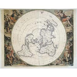
[Title page] Planisphere representant tout e l'etendue du monde. . .
Atlas carries a north polar azimuthal projection on his shoulders. This projection with equidistant concentric circle of latitude was claimed by Louis de Mayerne Turquet....
Date: Amsterdam, 1715
Selling price: ????
Please login to see price!
Sold in 2012
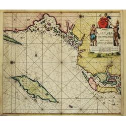
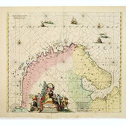
Finmarchae et Laplandiae Maritima. / Nieuwe Pascaert vande Kusten Finmarcken en Lapland Streckende van Dronten tot Archangel.
An eye-catching chart of Barents Sea and White Sea (with Archangelsk) with the coast of Norway, Lapland and peninsula Kola.. Coastal cities, bodies of water and islands a...
Date: Amsterdam, 1715
Selling price: ????
Please login to see price!
Sold in 2012
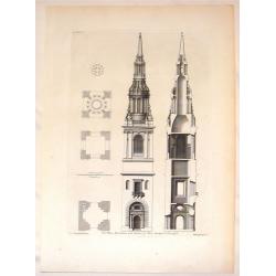
The Plans, Elevations and Section of Bon-Steeple in Cheapside.
Stiking steel engraving of the steeple in Cheapside. A fine example of a Vitruvius Britannicus print. Colen Campbell (1676–1729) was a pioneering Scottish architect an...
Date: London, 1715
Selling price: ????
Please login to see price!
Sold in 2016
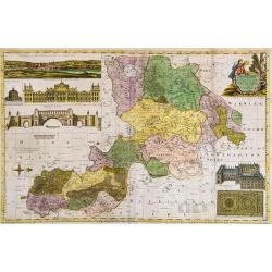
Oxford Shire Actually Survey'd &c. . .
Scarce extensive county map, north oriented to the right. With an elaborate title cartouche, 5 inset views of "The Prospect of Oxford," "The Theatre,"...
Date: London, 1715
Selling price: ????
Please login to see price!
Sold in 2015
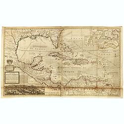
A Map of the West-Indies or the Islands of America in the North Sea with ye adjacent Countries; explaining what belongs to Spain, England, France, Holland &c. . . .
Herman Moll's map of the Caribbean, Florida, the Gulf Coast, Texas, Central America etc. Decorated with insets of the harbors at St. Augustine, Vera Cruz, Havana, Porto B...
Date: London, ca. 1715
Selling price: ????
Please login to see price!
Sold in 2016
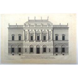
Vitruvius Britannicus (House plan for the Duke of Argyle in the Style of Indigo Jones)
Fine house design in the style of Indigo Jones. Engraved by Colen Campbell and presented to the Duke of Argyle.
Date: London, 1715
Selling price: ????
Please login to see price!
Sold in 2021
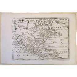
Amerique Septentrionale.
Interesting 1715 quarto-size copy of Sanson's important map of North America, typically found in editions of L'Amerique published from 1656 to 1683. This copy from Chemer...
Date: Utrecht, 1715
Selling price: ????
Please login to see price!
Sold in 2015
[Varsovie].
Bird's eye-view of Warsaw. With a smaller frontal view of the town in the lower part and 2 insets in the upper corners illustrating Louwitz or Lowicz Castle. Engraved by ...
Date: Paris, ca. 1715
Selling price: ????
Please login to see price!
Sold in 2016
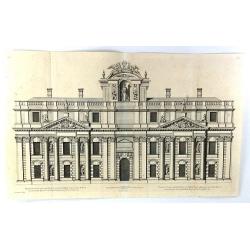
Elevation of One of the Double Pavillions of the Royall Hospital att Greenwich to the River
A fine copper plate engraving, published in about 1715 in London. From the "VITRIUS BRITANNICUS" by Colen Campbell. Colen Campbell (1676 -1729) was a pioneering...
Date: London, 1715
Selling price: ????
Please login to see price!
Sold in 2016
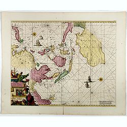
Orientaliora Indiarum Orientalium..C.Comorin ad Iapan.
The uncommon Louis Renard edition. - A superb late 17th century Dutch sea-chart of Australia and the East Indies, closely modelled on Pieter Goos' chart of 1666. The char...
Date: Amsterdam, 1680-1715
Selling price: ????
Please login to see price!
Sold in 2016
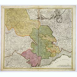
Regiae Celsitudinis Sabaudicae. . .
A detailed map of the Piedmont region in Northern Italy. The major cities of Torino, Milan, and Genoa and Geneva, Switzerland are all shown. Johann Baptist Homann was a G...
Date: Nuremberg, ca. 1715
Selling price: ????
Please login to see price!
Sold in 2017
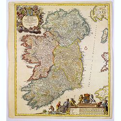
Hiberniae regnum. . .
A detailed and decorative map of Ireland, colored by the 4 regions and showing the towns, roads, counties, rivers, lakes, castles, etc. Includes a pair of lovely cartouch...
Date: Nurnberg, 1715
Selling price: ????
Please login to see price!
Sold in 2017
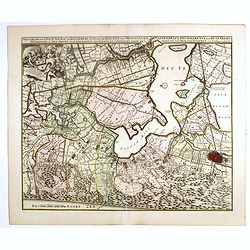
Nieuwe Kaerte van t'Baljuwschap van Kennemerland met de Bannen van Westsaanen, Assendelft, Heemskerk . . .
Rare map prepared by Elisabeth Visscher who was the widow of Nicolas Visscher and republished by Petrus Schenk. East to the top. Including Haarlem, Heemskerk, Velsen, etc...
Date: Amsterdam, 1715
Selling price: ????
Please login to see price!
Sold in 2017
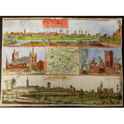
The prospects of the two most remarkable towns in the north of England for the clothing trade, viz. Leeds, As it appears from Holbeck Road, and Wakefield, As it appears from London Road.
This plate was published in Ducatus Leodiensis, or the Topography of the Town and Parish of Leedesby the Yorkshire antiquary Ralph Thoresby.Thoresby continued his father�...
Date: London, 1715
Selling price: ????
Please login to see price!
Sold in 2017
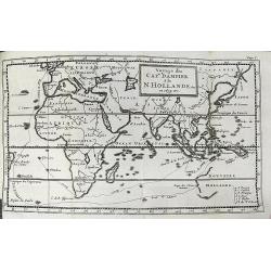
Voyage du Cap.e Dampier, A la N.Hollande &c en 1699 &c.
Uncommon map of the route of Captain William Dampier on the HMS Roebuck. He sailed to Australia, Timor, New Guinea, and discovered New Britain. Australia is shown with un...
Date: Rouen, 1715
Selling price: ????
Please login to see price!
Sold in 2017
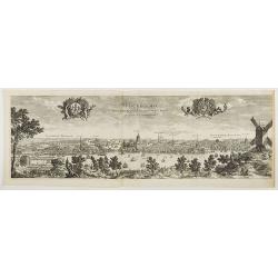
Stockholmia metropolis regni Sueciae et sedes regia qua parte . . .
Very decorative etching of Stockholm by the Parian master engraver and etcher Perelle (1638 - 1695). The title between two elegant cartouches decorated with cherubs, the ...
Date: Paris, 1715
Selling price: ????
Please login to see price!
Sold in 2018
Paskaart Voor een gedeelte van de Oost-Zee. Beginnende van Valsterborn tot Schenkkenes.
A sea chart of the southwest part of the Baltic with two insets showing the coast between Kristianstad and Calmer, and the ports of 'Selfborgh, Boetekolen Rottenbuy'....
Date: Amsterdam, 1715
Selling price: ????
Please login to see price!
Sold in 2021
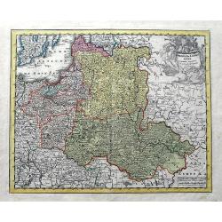
Poloniae & Lithuania accurante curatius.
A very scarce map of Poland, Lithuania, and a large part of Latvia. The copper engraved map extends from the Baltic Sea until Hungary and the southern Ukraine. Published ...
Date: Nuremberg, ca 1715
Selling price: ????
Please login to see price!
Sold in 2019
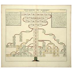
GENEALOGIE DE MAHOMET Depuis Ismael fils du Patriarche Abraham. (Muhammad).
An old colored folio sheet that shows a detailed genealogical chart of Ishmael and his descendants to the prophet Mahomet (Muhammad), founder of Islam. It was published i...
Date: Amsterdam, ca 1715
Selling price: ????
Please login to see price!
Sold in 2020
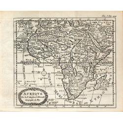
AFRIQVE Par le Sr. Sanson d'Abbeville Geographe du Roy
This map is often confused with the Nicolas Sanson map of Africa of 1656 (Betz #86). In Paris in 1716, a copy of the Sanson map appeared in Methode Pour Etudier La Geogr...
Date: Paris, ca 1716
Selling price: ????
Please login to see price!
Sold in 2013
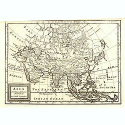
Asia according ti ye Newest Obervations.
Detailed map of Asia, from Herman Moll's "Forty-two new maps of Asia, Africa, and America ... : all engrav’d, according to the latest observations. . ."The ma...
Date: London, J. Nicholson, 1716
Selling price: ????
Please login to see price!
Sold in 2015
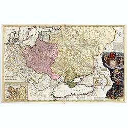
To His Most Serene and August Majesty Peter Alexovitz Absolute Lord of Russia &c. This map of Moscovy, Poland, Little Tartary, and ye Black Sea &c. is most Humbly Dedicated by H. Moll Geographer
Magnificent large-scale, English map of Russia, Ukraine, Poland, Finland and the Baltic Countries and extending south to the Black Sea and the Balkans, with an ornate ded...
Date: London, 1716
Selling price: ????
Please login to see price!
Sold in 2015
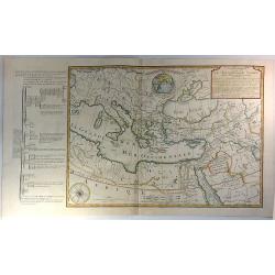
Orbis Bibliis Sacris Cognitus Seu Geographia Sacra: Carte de la Geographie Sacree pour l'Ancien Testament.
Interesting copperplate map of the ancient world, showing the biblical lands divided amongst the Sons of Noah: Shem, Ham and Japeth. Informative genealogical table to the...
Date: Paris, 1716
Selling price: ????
Please login to see price!
Sold in 2016
Facies Palaestinae ex Monumentis veteribus descripto ab Hadriano Relando
A striking and historic map showing what is now called Israel, Palestine, Lebanon, Gaza, The West Bank, Jordan, and parts of Syria. The large title cartouche features an ...
Date: Nuremberg, 1716
Selling price: ????
Please login to see price!
Sold in 2016
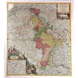
Theatrum Belli Rhenani Auspicatis Militiæ Primitis Potentissimi Roman et Hunga Regis. . .
A detailed and very decorative regional map of the Rhine and Moselle Regions in Germany, exhibiting the Theatre of War in 1702.The inset in the lower left corner traces t...
Date: Nuremberg, 1716
Selling price: ????
Please login to see price!
Sold in 2018
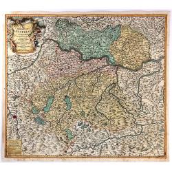
Archiducatus Austriae Superioris.
An antique map of Ober-Österreich between Inn, Donau and Enns, reaching from Passau along the Danube to Ybbs, and south to Salzburg and Rottenmann. After Nicolaas Vissch...
Date: Nuremberg, 1716
Selling price: ????
Please login to see price!
Sold in 2018
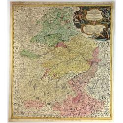
Bavariae Circulus et Electorat in Suasquasque Ditiones...
A striking copper engraved map detailing Bavaria bounded by Nuremberg, Munich, and Passau.The map locates many fortified cities including Munich, Salzberg, Nuremberg, Pas...
Date: Nuremberg, 1716
Selling price: ????
Please login to see price!
Sold in 2016
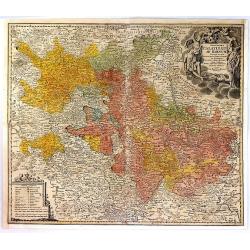
S.R.I. Circulus Rhenanus Inferior sive Electorum Rheni.
A detailed copper engraved map of central Germany that follows the Rhine River from the French border to beyond Dusseldorf. The Moselle River follows the landscape throug...
Date: Nuremberg, 1716
Selling price: ????
Please login to see price!
Sold in 2016
Exactissima Palatinatus Ad Rhenum Tabula, In Qua Episcopus Wormaciensis et Spirensis Ducatus
A fine copperplate map of the Rheinland/Palatinate region of Germany. It displays the area between Cochem on the Mosel, Frankfurt, Marbach, and Saarlouis, the Electorate...
Date: Nuremberg, 1716
Selling price: ????
Please login to see price!
Sold in 2016
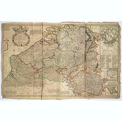
Les Provinces des pays-Bas Catholiques. . .
This is an interesting map that can be dated to after the treaty of Utrecht (1712) as this was when Austria was given the Netherlands, and they are designated the 'Austri...
Date: London, ca 1716
Selling price: ????
Please login to see price!
Sold in 2017
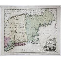
NOVA ANGLIA Septentrionali Americae impantata Anglorumique coloniis florentissima. Geographice exhibita a Ioh. Baptista Homann...
An early map of the Northeast North America, extending north to include Maine and the St. Lawrence and south to include virtually all of New Jersey.In the early 18th cent...
Date: Nurmberg, 1716
Selling price: ????
Please login to see price!
Sold in 2017
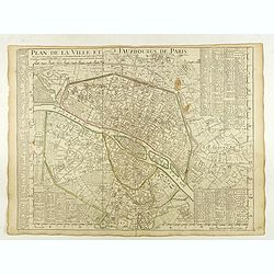
Plan de la Ville et Fauxbourgs de Paris.
A detailed plan of the city and surrounding suburbs of Paris, published "A Paris chez l’Auteur sur le Quai de l’Or.loge avec Pr.r Juin 1716" .The plan has i...
Date: Paris, 1716
Selling price: ????
Please login to see price!
Sold in 2022
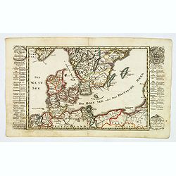
Der Nordischen Konigreiche Sud-West Theil.
An attractive map of the southwest portion of the Nordic kingdom, showing southern Sweden and Denmark, a tiny tip of southern Norway, plus some of the northern German and...
Date: Augsberg, 1716
Selling price: ????
Please login to see price!
Sold in 2021
Das Stifft Naumburg und Zeitz nebst einem grossen Theil der angraenzenden Laender. Verfertiget und in Kupffer gestochen von Johann George Schreibern.
Exceptionally rare, early cartographic work of the Leipzig engraver and Atlas publisher Johann Georg Schreiber (1676-1750), who created only two large-portfolio cards in ...
Date: Leipzig, ca. 1716
Selling price: ????
Please login to see price!
Sold in 2020
To the right...This Map of Africa.
A superb, beautifully engraved large-scale map of Africa, including 4 insets of ports, coast lines and estuaries across the continent.The work is highlighted by a magnifi...
Date: London, 1716
Selling price: ????
Please login to see price!
Sold
Les Etats de la couronne de Pologne..
Rare map of Poland. In upper right corner a title cartouche, key with longitudes and latitudes to the important cities and coats of arms of Poland, Lithuania, Prussia, Cu...
Date: Paris 1716
Selling price: ????
Please login to see price!
Sold
Generalis Totius Imperii Russorum Novissim Tabula
Map of the Russian Empire. With beautiful cartouche, ships and seamonsters.
Date: Nuremberg, 1716
Selling price: ????
Please login to see price!
Sold in 2008
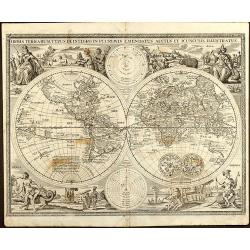
Orbis Terrarum Typus de Integro in Plurimis Emendatus Auctus et Icunculis Illustratus
Outstanding and rare example of a bible world map based on the Visscher bible map from 1657 (Shirley 401/414). This map is larger in size and has an extra engraved frame ...
Date: Minden, 1716
Selling price: ????
Please login to see price!
Sold in 2008
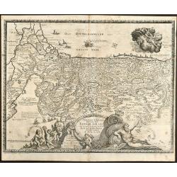
Viertzig Iõhrige Reysen der Kinder Israel aus Egypten durch das Rothe Meer und W³sten bis ins Gelobte Land Canaan
Rare anonymous map of the Holy Land after the N. Visscher map from 1657. Showing the Exodus of the Israel tribes from Egypt to Canaan. With beautiful figural cartouche an...
Date: Minden, 1716
Selling price: ????
Please login to see price!
Sold in 2008
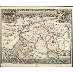
Die Gelegenheit des Paradeis und des Landes Canaan, sambt den erst Bewohnten Lõnderen der Patriarchen aus H. Schrift u anderen Auctoren zusamen getragen
Very rare anonymous map of the Middle East. Based on the "Paradise Map" of Visscher. Showing the Eastern Mediterranean with Cyprus up to today Iraq / Iran in th...
Date: Minden, 1716
Selling price: ????
Please login to see price!
Sold in 2009
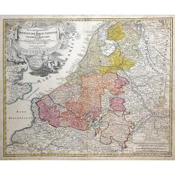
Tabula Generalis Totius Belgii qua Provincia XVII Infer Germania olim fub S.R.I. Circulo Burgundia . . .
Decorative map by Johann Baptist Homann which shows the entire region of The Netherlands and Belgium with its seventeen provinces. A decorative title cartouche is in the ...
Date: Nuremberg, 1716
Selling price: ????
Please login to see price!
Sold in 2010
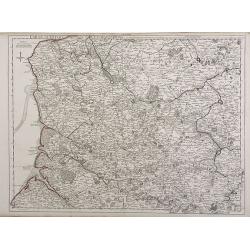
Carte d'Artois et des Environs ou lon voit le Ressort du Conseil Provincial d'Artois.
Finely detailed map of the Artois region of northern France bordering Belgium, showing the cities of Douai, Arras and Lille. Once a state of the Holy Roman Empire, Artois...
Date: Paris, 1716
Selling price: ????
Please login to see price!
Sold in 2010
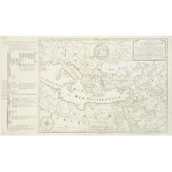
Carte de la Geographie sacrée pour l'ancien testament. . .
Beautiful map of the coast of the Mediterranean, including the south of France, Italy, the north African coast, and the near east. On the left, there is a "Table mé...
Date: Paris, 1716
Selling price: ????
Please login to see price!
Sold in 2012
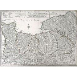
Carte de Normandie ousont marquez exacteme Les Pays ou Contrees enferm ees dascette Province aussi bien que les Villes Bourgs Paroissese.
Finely detailed map of the Normandy region of France by Guillaume de L'Isle. Shows the coastline along the English channel, along with the towns and villages, forests, ab...
Date: Paris, 1716
Selling price: ????
Please login to see price!
Sold in 2010
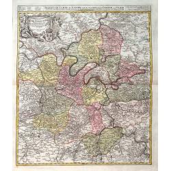
Agri Parisiensis. . .
A detailed map of Île-de-France centered on Paris. Paris is still quite small - Montmartre, Les Invalides, and others are shown as small separate villages. Extends until...
Date: Nuremberg, ca 1716
Selling price: ????
Please login to see price!
Sold in 2019
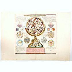
La Sphere Artificielle ou Armilaire Oblique. . .
A large copper engraving with an armillary sphere in the centre, with the faces of the horizon, meridian and the celestial equator represented by fixed circles. In this e...
Date: Paris, 1716
Selling price: ????
Please login to see price!
Sold in 2020
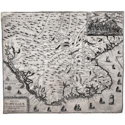
Regni Norvegiæ Nova et Accurata descriptio.
A very rare, decorative map of Norway with inset battle scene and many ships sailing along the coast. The map was included in the fall 1716 issue of Relationis Historicæ...
Date: Frankfurt, 1716
Selling price: ????
Please login to see price!
Sold in 2020
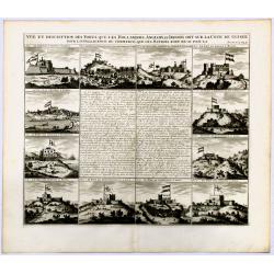
Vue et description des Forts Que Les Hollandois, Anglois, et Danois ont sur la cote de Guinee.
Decorative, copperplate sheet with 12 vies of African Cities, from Chatelain's monumental 7 volume Atlas Historique.Includes a series of views showing Map shows on 12 vie...
Date: Paris 1717
Selling price: ????
Please login to see price!
Sold in 2019

![[Varsovie]](/uploads/cache/24496-250x250.jpg)
![[Varsovie].](/uploads/cache/45606-250x250.jpg)

![[Title page] Planisphere representant tout e l'etendue du monde. . .](/uploads/cache/31980-250x250.jpg)
![[Varsovie].](/uploads/cache/37246-250x250.jpg)
