Browse Listings in Europe
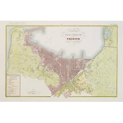
Pianta della citta di Trieste.
Very finely engraved and detailed plan of Triest. Engraved by V.Angeli and included in: Atlante Geografico dell Italia . To the left, a key to the principal buildings and...
Date: Rome, 1860
Selling price: ????
Please login to see price!
Sold in 2020
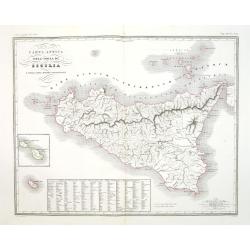
Carta antica dell' Isola di Sicilia e delle isole minori circonvicine . . .
Map of ancient Sicily from "Atlante Geografico dell Italia". In lower left corner inset maps of Malta.
Date: Rome, 1860
Selling price: ????
Please login to see price!
Sold in 2018
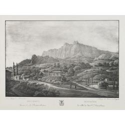
Mischore la ville du General L. Narischkine.
Lithography of the Mischore countryside. Lithographed by Braun and Bigatti.Text in Russian and French.
Date: c. 1860
Selling price: ????
Please login to see price!
Sold in 2014
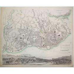
Lisbon (Lisboa)
Nicely engraved plan of Lisbon as known in the mid-19th century. The central portion of the city is outlined in red. In the upper right-hand corner is a map of Lisbon tog...
Date: London, ca. 1860
Selling price: ????
Please login to see price!
Sold in 2011
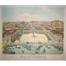
Praca do Commercio.
An exceptionally rare mid 19th century view of central Lisbon. Many of the city's famous historical sites and points of interest are depicted, including Castelo Sao Jorge...
Date: Lisbon, ca. 1860
Selling price: ????
Please login to see price!
Sold in 2011
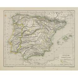
Spanje en Portugal.
Uncommon map of Spain and Portugal. Lithography by J.H. van Weijer, published in Atlas der geheele Aarde [?] in 24 kaarten.
Date: Groningen, ca. 1860
Selling price: ????
Please login to see price!
Sold in 2008
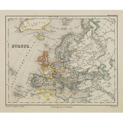
Europa.
Uncommon map of Spain and Portugal. Lithography by J.H. van Weijer, published in Atlas der geheele Aarde [?] in 24 kaarten.
Date: Groningen, ca. 1860
Selling price: ????
Please login to see price!
Sold in 2008
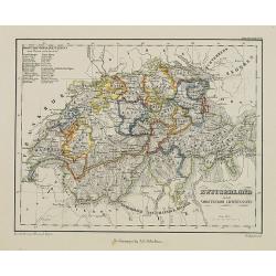
Zwitseland en het Vorstendom Lichtenstein.
Uncommon map of Switzerland and Lichtenstein. Lithography by J.H. van Weijer, published in Atlas der geheele Aarde [?] in 24 kaarten.
Date: Groningen, ca. 1860
Selling price: ????
Please login to see price!
Sold in 2008
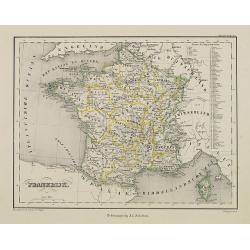
Frankrijk.
Uncommon map of France. Lithography by J.H. van Weijer, published in Atlas der geheele Aarde [?] in 24 kaarten.
Date: Groningen, ca. 1860
Selling price: ????
Please login to see price!
Sold in 2008
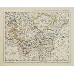
Zuid Duitschland.
Uncommon map of Southern part of Germany. Lithography by J.H. van Weijer, published in Atlas der geheele Aarde [?] in 24 kaarten. Showing railway system.
Date: Groningen, ca. 1860
Selling price: ????
Please login to see price!
Sold in 2008
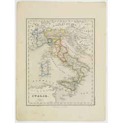
Italie.
Uncommon map of Italy. Lithography by J.H. van Weijer, published in Atlas der geheele Aarde [?] in 24 kaarten.
Date: Groningen, ca. 1860
Selling price: ????
Please login to see price!
Sold in 2019
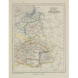
Pruissen, Polen, Galicie, Hongarie, Zevenbergen.
Uncommon map of Prussia, Poland, and Hungary. Lithography by J.H. van Weijer, published in Atlas der geheele Aarde [?] in 24 kaarten.
Date: Groningen, ca. 1860
Selling price: ????
Please login to see price!
Sold in 2008
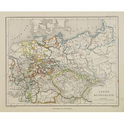
Noord Duitschland.
Uncommon map of the northern part of Germany. Lithography by J.H. van Weijer, published in Atlas der geheele Aarde [?] in 24 kaarten.
Date: Groningen, ca. 1860
Selling price: ????
Please login to see price!
Sold in 2008
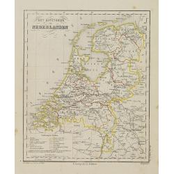
Het Koningrijk de Netherlanden.
Uncommon map of the Netherlands. Lithography by J.H. van Weijer, published in Atlas der geheele Aarde [?] in 24 kaarten.
Date: Groningen, ca. 1860
Selling price: ????
Please login to see price!
Sold in 2008
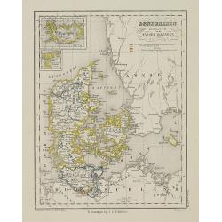
Denemarken Ijsland en de Faroër Eilanden.
Uncommon map of Denmark with inset map of Iceland. Lithography by J.H. van Weijer, published in Atlas der geheele Aarde [?] in 24 kaarten. With colored key to processions...
Date: Groningen, ca. 1860
Selling price: ????
Please login to see price!
Sold in 2008
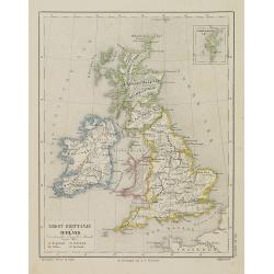
Groot-Brittanje en Ierland.
Uncommon map of England, Ireland and Wales, Scotland. Inset of Shetland islands. Lithography by J.H. van Weijer, published in Atlas der geheele Aarde [?] in 24 kaarten.
Date: Groningen, ca. 1860
Selling price: ????
Please login to see price!
Sold in 2008
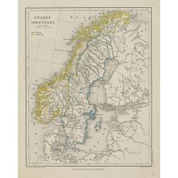
Zweden en Noorwegen.
Uncommon map of Norway and Sweden. Lithography by J.H. van Weijer, published in Atlas der geheele Aarde [?] in 24 kaarten.
Date: Groningen, ca. 1860
Selling price: ????
Please login to see price!
Sold in 2008
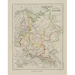
Europish Rusland.
Uncommon map of Russia. Lithography by J.H. van Weijer, published in Atlas der geheele Aarde [?] in 24 kaarten. With colored key to processions.
Date: Groningen, ca. 1860
Selling price: ????
Please login to see price!
Sold in 2008
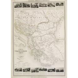
Nouvelle carte Illustrée Turquie d'Europe et de la Grèce . . .
A most decorative mid 19th century map, in upper and lower part 12 vignettes giving a wealth of statistic and commercial information. With a color key . Beside Greeve the...
Date: Paris, Fatout, 1860
Selling price: ????
Please login to see price!
Sold in 2010
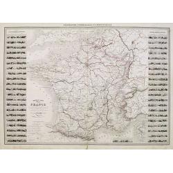
Nouvelle carte Illustrée de la France . . .
A most decorative mid 19th century "carte à figures" map, in left and right part 86 vignettes giving a wealth of statistic and commercial information of each r...
Date: Paris, Fatout, 1860
Selling price: ????
Please login to see price!
Sold
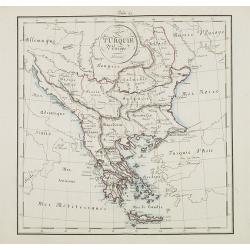
Turquie d'Europe.
Map of Greece, including Serbia, Bulgaria, Albania, Bosnia.
Date: France, ca. 1860
Selling price: ????
Please login to see price!
Sold in 2015
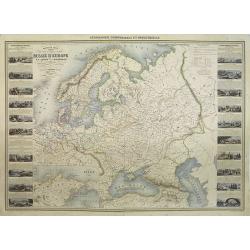
Nouvelle carte illustrée des Etats du Nord et de l'Europe donnant la Russie d'Europe La Suède et le Danemark . . .
A most decorative mid 19th century map, in left and right part 20 vignettes giving a wealth of statistic and commercial information. Besides Russia's provinces the neighb...
Date: Paris, ca. 1860
Selling price: ????
Please login to see price!
Sold in 2009
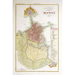
Pianta della citta di Mantova.
Very finely engraved and detailed plan of Mantova. Engraved by V.Angeli and included in: Atlante Geografico dell Italia . To the right side, a key to the principal buildi...
Date: Rome, 1860
Selling price: ????
Please login to see price!
Sold in 2009
Moscou. (Russie).
View of Moscow. Drawn and engraved by Lechard.
Date: Paris, Mutrel, ca. 1860
Selling price: ????
Please login to see price!
Sold in 2009
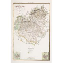
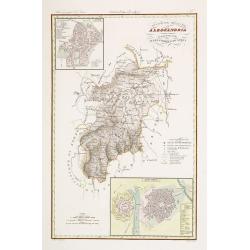
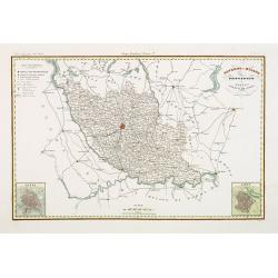
Governo di Venezia / Provincia di Verona / Vicenza.
Very finely engraved and detailed map centered on Verona, including, Vicenzia and Lago di Garda to the left.. Lower corners two inset plans of Verona and Vicenza. Key cen...
Date: Rome, 1860
Selling price: ????
Please login to see price!
Sold in 2020
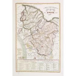
Ducato di Lucca.
Very finely engraved and detailed map centered on Lucca, covering the region east of Massa and Pizza. Lower part of the map, two inset lists of the territorial divisions ...
Date: Rome, 1860
Selling price: ????
Please login to see price!
Sold in 2018
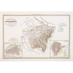
Divisione Militare di Alessandria.
Very finely engraved and detailed map centered on Alessandria and Acqui. Upper corners, two inset plans of Alessandria and Acqui. Key on the right side. Engraved by Vetto...
Date: Rome, 1860
Selling price: ????
Please login to see price!
Sold in 2016
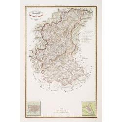
Governo di Venezia. Provincie di Belluno e Treviso.
Very finely engraved and detailed map covering the region of Treviso and Belluno. Lower left corners, two inset plans of Treviso and Belluno. Key on the upper right side....
Date: Rome, 1860
Selling price: ????
Please login to see price!
Sold in 2018
Divisione Militare di Alessandria.Tortona / Voghera.
Very finely engraved and detailed map of the province of Alessandria. Lower corners, two inset plans of Tortona and Voghera. Key on the right side. Engraved by Vettorio A...
Date: Rome, 1860
Selling price: ????
Please login to see price!
Sold in 2017
Governo di Milano / Provincia di Pavia e Lodi.
Very finely engraved and detailed map of the area of Milan, Lodi, Crema and Pavia. Lower corners, two inset plans of Pavia and Lodi. Upper left corner, a key. Engraved by...
Date: Rome, 1860
Selling price: ????
Please login to see price!
Sold in 2017
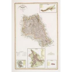
Compartimento Senese.
Very finely engraved and detailed map centered on Sienna. Upper right corner, an inset plan of Colle, and lower part corner, three inset plans of Montalcino, Siena and Pi...
Date: Rome, 1860
Selling price: ????
Please login to see price!
Sold in 2014
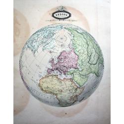
Europe Sphéroïdale.
Uncommon map of the sphere, centered on Europe. Extending until South America, Madagascar, South-East Asia, and Alaska (Russian America!) A rare and decorative map!
Date: Paris, 1860
Selling price: ????
Please login to see price!
Sold in 2010
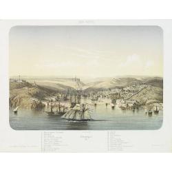
MER NOIRE Sébastopol. 61.
Beautiful and rare lithography of the port of Sevastopol at the Black Sea the Crimea peninsula. Extensive shipping in the harbor. With a numbered key (1-22) in lower part...
Date: Paris, Lemercier, c.1860
Selling price: ????
Please login to see price!
Sold in 2010
MER D'AZOF. Bombardement d'arabat par la flotille alliée 25 Mai 1855.
Beautiful and rare lithography of two French boats, "Le Lucifer" and "La Miranda" during the siege of Arabat in 1855.
Date: Paris, Lemercier, c.1860
Selling price: ????
Please login to see price!
Sold in 2010
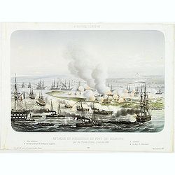
AFFAIRES D'ORIENT Attaque et reddition du fort de Kilburn par les flottes alliées, 17 octobre 1855.
Beautiful engraving of the siege of Kilburn on 17 October 1855 by the French navy. After a design Louis by Le Breton. including a numbered key (1-4) in the lower part.Lou...
Date: Paris, Lemercier, c.1860
Selling price: ????
Please login to see price!
Sold in 2010
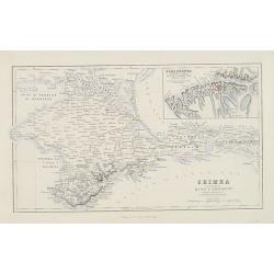
Crimea according to Huot & Demidoff.
Detailed map probably from, A Gazetteer of the World, Or Dictionary of Geographical Knowledge, Compiled from the Most Recent Authorities, and Forming a Complete Body of M...
Date: Edinburg, London, Fullarton, 1860
Selling price: ????
Please login to see price!
Sold in 2010
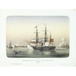
Division anglaise détruisant les forts des Russes à l'entrée du Golfe de Finlande.
Showing two English ships attaching a Russian stronghold in the Gulf of Finland during June 1854. The Crimean War (1854-1856) between Russia on one side and the alliance ...
Date: Paris, 1860
Selling price: ????
Please login to see price!
Sold in 2014
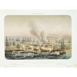
Sébastopol vue du Nord. - Les divisions françaises aux ordres des généraux Bosquet et Mac Mahon prennent d'assaut la tour Malakoff. . , (le 8 septembre 1855). Crimée (Ukraine)
Lithography of the siege of Sebastopol on 8 September 1855 who resulted in a French victory under General MacMahon. In one of the Crimean War defining moments, the French...
Date: Paris, Lemercier, c.1860
Selling price: ????
Please login to see price!
Sold in 2010
AFFAIRES D'ORIENT Attaque et reddition du fort de Kilburn par les flottes alliées, 17 octobre 1855.
Beautiful lithography of the siege of Kilburn on 17 October 1855 by the French navy. After a design Louis by Le Breton. including a numbered key (1-4) in lower part.Louis...
Date: Paris, Lemercier, c.1860
Selling price: ????
Please login to see price!
Sold in 2014
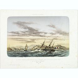
AFFAIRES D'ORIENT Le Vauban, Commandé par le Captaine de Vaisseau d'Herbinghem, chasse devant lui deux Croiseurs Russes qui se réfugient à Sévastopol. Mars 1854.
Beautiful lithography of the French steamer "Le Vaunan", commanded by Captain de Poucques d'Herbingheme, chasing two Russian Vessels seeking safe-harbour in Sev...
Date: Paris, Lemercier, c.1860
Selling price: ????
Please login to see price!
Sold in 2013
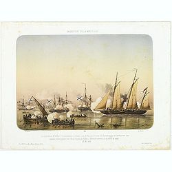
EXPEDITION DE LA MER D'AZOF Le Lieutenant M.Killop Captain la canonniére le Snake, sous le feu des batteries de Kertch. . . 22 Mai 1855.
Beautiful lithography of an encounter which took place on 22 May 1855 between Lieutenant M'Killop, who was the commander of a gunboat, the Snake, with 3 Russian vessels, ...
Date: Paris, Lemercier, c.1860
Selling price: ????
Please login to see price!
Sold in 2014
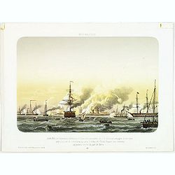
MER BALTIQUE Juillet 1855 Les Vasseaux le Blenheim et l'Exmouth aux ordres du C.A. Seymour protegent de leur feux une division de cannonieres qui sous la volées des Forts Russes vont amarriner des prises q l'entree du port de Narva.
Beautiful lithography of the vessels Blenheim and l'Exmouth bombarding the forts at the entrance of the river and town of Narva in July 1855.After a design Louis by Le Br...
Date: Paris, Lemercier, c.1860
Selling price: ????
Please login to see price!
Sold in 2014
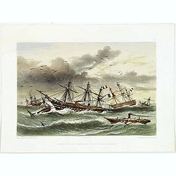
Ouragan du 14 dans la Mere Noir vis à vis la Baie de Kamiesh.
Beautiful lithography of French ships in Kamiesch Bay in the Black Sea near Sebastopol on the Crimean coast. During the siege of Sebastopol in 1854 during the Crimean War...
Date: Paris, Lemercier, c.1860
Selling price: ????
Please login to see price!
Sold in 2014
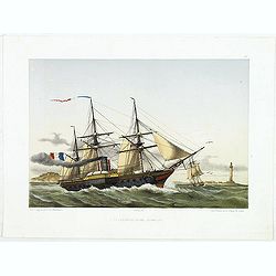
Le descartes devant Sébastopol.
Beautiful lithography of the French steamer Le Descartes offshore of Sevastopol.After a design by Louis Le Breton (1818 Douarnenez - 1866 Paris). Louis Le Breton was a Fr...
Date: Paris, Langlumé, c.1860
Selling price: ????
Please login to see price!
Sold in 2014
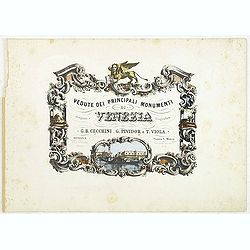
(Title page) Vedute dei principali monumenti di Venezia.
Decorative title page with in the lower part small inset view of Doge Palace, St. Marco and a gondola.
Date: Venice, 1860
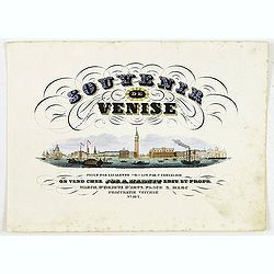
(Title page) Souvenir de Venise.
Title page with a panoramic view of Venice after Canaletto. Lithographed by P.Chevalier. The publication was according to the text for sale at Jos.a Habnit, who was estab...
Date: Venice, c.1860
Selling price: ????
Please login to see price!
Sold in 2011
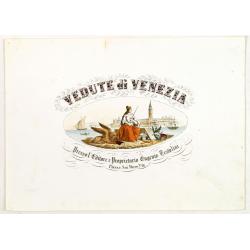
(Title page) Vedute di Venezia.
Title page with a virgin and the lion of saint Mark sitting on an island with in the background the town of Venice. Lithography by Lefevre after G.B. Cecchini.
Date: Venice, ca 1860
Selling price: ????
Please login to see price!
Sold in 2022
Fontaine Elise a Aix la Chapelle.
Beautiful lithography of a square in Aachen, Germany. Printed by Masson in Brussels and lithographed by F.Stroobant.
Date: Amsterdam, F.Buffa, c. 1860
Selling price: ????
Please login to see price!
Sold in 2013
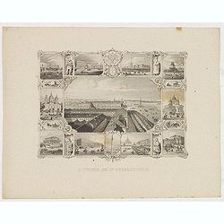
Souvenir de St. Petersbourg.
Panoramic view of St. Petersburg surrounded with ten little views of different places and monuments.
Date: France, ca. 1860
Selling price: ????
Please login to see price!
Sold in 2013
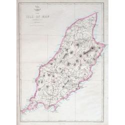
The Isle of Man.
A highly detailed map of the island, filled with place names, roads, hills, etc.The Weekly Dispatch newspaper was published in London between the years 1856 and 1862, an...
Date: London, ca 1860
Selling price: ????
Please login to see price!
Sold in 2018
Polonais (Environs de Cracovie) Title also in Russian.
Lithograph representing Polish from the region around Cracovia in local costume.The title is also in Cyrillic. After a design of Viale and printed by J.B. Kühn.
Date: Munich, c.1860
Selling price: ????
Please login to see price!
Sold in 2014
Europa und der nördliche Theil von Asien.
Somewhat later but very finely drawn map of Europe and the rendering of Russia. Including "Berings Srasse" and tip of North America with "Aleutische Inseln...
Date: Germany, ca. 1860
Selling price: ????
Please login to see price!
Sold in 2014
Toulouse. Vue du Pont de pierre prise du Quai de Brienne. N°293.
Lithographed view of St. Pierre bridge in Toulouse by C.Mercereau who made the design at the spot and afterwards the lithography.Included in "La France de nos jours&...
Date: Paris, 1860
Selling price: ????
Please login to see price!
Sold
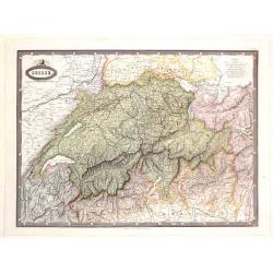
Suisse.
Detailed map of Switzerland and surrounding regions. It comes from "ATLAS SPHEROIDAL & UNIVERSEL DE GEOGRAPHIE". published in Paris by Jules Renouard in 186...
Date: Paris, 1860
Selling price: ????
Please login to see price!
Sold in 2017
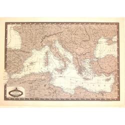
Carte Generale du Bassin de La Mer Mediterranee.
Detailed map of the Mediterranean and surrounding regions. It comes from "ATLAS SPHEROIDAL & UNIVERSEL DE GEOGRAPHIE". published in Paris by Jules Renouard ...
Date: Paris, 1860
Selling price: ????
Please login to see price!
Sold in 2016
Bataille de Solferino. Pendant que ladivision Forey s'emparait du cimetiére et
Showing the battle of de Solfererino, in Italy. Lithographed by H.Jannin, rue des Bernardins, Paris.Underneath the print a explanation "Pendant que la division Forey...
Date: Paris, ca. 1860
Selling price: ????
Please login to see price!
Sold in 2025
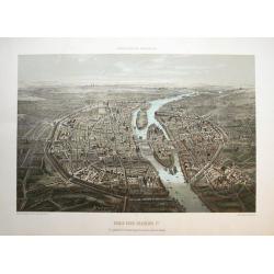
Paris sous Francois 1er. Vue générale à vol d'oiseau...
Fantastic color lithographed birds-eye view of Paris. Published by Charpentier in "Paris dans sa splendeur".
Date: Paris, ca. 1860
Selling price: ????
Please login to see price!
Sold in 2016
Moscau von der kreml-Seite.
View of Moscow with in the background the Kremlin. Original steel engraving, published by Bibliographisches Institut Hildburghausen.
Date: Hildburghausen, ca. 1860
Selling price: ????
Please login to see price!
Sold in 2016
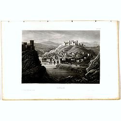
Tiflis.
View of Tiflis. Original steel engraving, published by Bibliographisches Institut Hildburghausen.
Date: Hildburghausen, ca. 1860
Selling price: ????
Please login to see price!
Sold in 2020
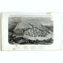
Plan of Attack & Defences of the South & North Sides of Harbour & Town of Sebastopol.
Scene during Crimean (Russo-Turkish) War 1853-1856. Bird's-eye plan of the harbour and town of Sebastopol Sevastopol) with the retreat of the Russians. Steel engraved pla...
Date: London, James S Virtue, 1860
Selling price: ????
Please login to see price!
Sold in 2017
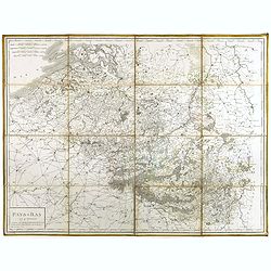
Pays-Bas en 4 Feuilles.
Uncommon map of present-day Belgium. Engraved by P.F.Tardieu. Text engraved by Aubertz.
Date: Paris, 1860
Selling price: ????
Please login to see price!
Sold in 2019
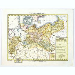
Preussischer Staat.
Map of the Prussian state showing Posen, Pommern, Brandenburg, Sachsen, Westphalia, Rheinprovinz, Preussen. Nicely colored. Inset of Neufchatel, and a legend box.Cities s...
Date: Glogau/Leipzig, ca 1860
Selling price: ????
Please login to see price!
Sold in 2019
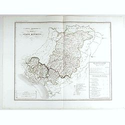
Carta moderna degli Stati Estensi.
Very finely engraved and detailed map of Emilia Romagna, Italy, Liguria, TuscanyWith a key on the right part of the map. Engraved by Vettorio Angeliand included in: Atlan...
Date: Rome, 1860
Selling price: ????
Please login to see price!
Sold in 2023
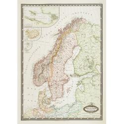
Suede et Norvege. Danemark.
Very detailed map from "Atlas Spherodidal & Universel de geographie," Prepared by F.A.Garnier and edited by Jules Renouard, rue de Tournon, Paris. Uncommon ...
Date: Paris 1861
Selling price: ????
Please login to see price!
Sold
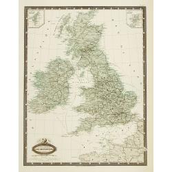
Isles Britanniques carte des chemins de fer et canaux.
Very detailed map from Atlas Sphéroïdal & Universel de géographie , Prepared by F.A.Garnier and edited by Jules Renouard, rue de Tournon, Paris. Uncommon map with ...
Date: Paris, 1861
Selling price: ????
Please login to see price!
Sold in 2011
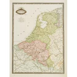
Belgique & Hollande.
Very detailed map from Atlas Sphéroïdal & Universel de géographie. Prepared by F.A.Garnier and edited by Jules Renouard, rue de Tournon, Paris. Uncommon map with d...
Date: Paris 1861
Selling price: ????
Please login to see price!
Sold in 2020
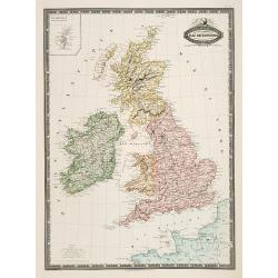
Isles Britanniques, Angleterre, Ecosse, Irlande. . .
Very detailed map from Atlas Sphéroïdal & Universel de géographie, Prepared by F.A.Garnier and edited by Jules Renouard, rue de Tournon, Paris. Uncommon map with d...
Date: Paris, 1861
Selling price: ????
Please login to see price!
Sold in 2011
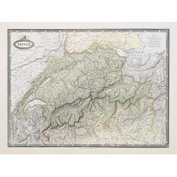
Suisse.
Very detailed map from Atlas Sphéroïdal & Universel de géographie , Prepared by F.A.Garnier and edited by Jules Renouard, rue de To...
Date: Paris, 1861
Selling price: ????
Please login to see price!
Sold in 2010
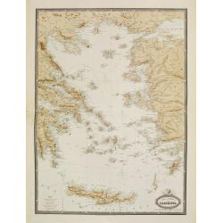
Carte Generale de L'Archipel.
Very detailed map from Atlas Sphéroïdal & Universel de géographie. Prepared by F.A.Garnier and edited by Jules Renouard, rue de Tournon, Paris. Uncommon map with d...
Date: Paris, 1861
Selling price: ????
Please login to see price!
Sold in 2022
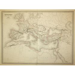
Empire Romain
The Roman Empire, from Atlas Universel Physique, Historique, Politique de Géographie Ancienne et Moderne printed by Louis Antoine and published by Armand le Chevalier in...
Date: Paris, 1861
Selling price: ????
Please login to see price!
Sold in 2011
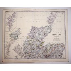
Scotland on Two sheets North and South
Scotland divided onto two large sheets. Scotland, northern sheet,page 7. by Keith Johnston, F.R.S.E. Engraved & printed by W. & A.K. Johnston, Edinburgh. William ...
Date: Edinburgh, 1861
Selling price: ????
Please login to see price!
Sold in 2019
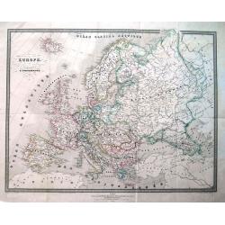
Europe.
Interesting map of Europe with its geography and territories around 1861! Published by Dufour. A large and detailed map with attractive coloring indicating the borders.
Date: Paris, 1861
Selling price: ????
Please login to see price!
Sold in 2013
Europe en 1789 (1861).
A large, highly significant and detailed map of Europe as it appeared in 1789 - on the very eve of the French revolution - something that would have a profound and lastin...
Date: Paris, 1861
Selling price: ????
Please login to see price!
Sold in 2020
London Guide to the International Exhibition 1862
A very large and impressive plan of London, published specifically for the city's international exhibition of 1862. The exposition was a world's fair, seven years after t...
Date: London, ca 1862
Selling price: ????
Please login to see price!
Sold
Island of Madeira.
Fine map of Madeira, one of the Portugese Islands in the Atlantic Ocean. Published by Fullerton & Company in 1862.
Date: Edinburgh, 1862
Selling price: ????
Please login to see price!
Sold in 2016
London. Guide to the International Exhibition.
Published as a supplement to the ILN of May 24th, 1862, this is a large, wonderfully detailed plan of London, extending from Hammersmith in the west, to Poplar in the eas...
Date: London, 1862
Selling price: ????
Please login to see price!
Sold in 2017
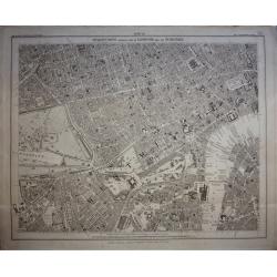
Stanford's Library Map of London and its Suburbs, sheet 10.
Published by Edward Stanford, 6 Charing Cross, London, February 15, 1862. Sheet no 10 covers the West End of London to the Houses Parliament and the Thames at Westminste...
Date: London, 1862
Selling price: ????
Please login to see price!
Sold in 2020
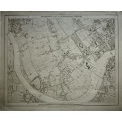
Stanford's Library Map of London and its Suburbs, sheet 13.
Published by Edward Stanford, 6 Charing Cross, London, February 15, 1862. Sheet no 13 covers West London... The Kings road in fields. The Thames from Hammersmith Bridge t...
Date: London, 1862
Selling price: ????
Please login to see price!
Sold in 2019
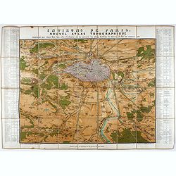
Environs de Paris. Nouvel Atlas Topographique comprenant pour chaque Etat les villes d'industrie et de commerce, les places fortifiées, les chemins de fer, les canaux etc.
A bird's eye-view of Paris and vicinity by Guittet. Centered on Paris and the Seine River and including Versailles, St. Germain, Neuilly, Orly, etc.Paris, in pink, shown ...
Date: Paris, ca. 1862
Selling price: ????
Please login to see price!
Sold in 2021
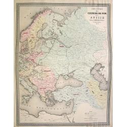
Carte generale des Chemins de fer de la Russie..
Fine map of Russia, Scandinavia, Germany, showing the early railway system of the area. From Atlas des Chemins de Fer published by Napoléon Chaix and printed by Imprimer...
Date: Paris 1863
Selling price: ????
Please login to see price!
Sold in 2008
