Browse Listings in Europe
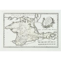
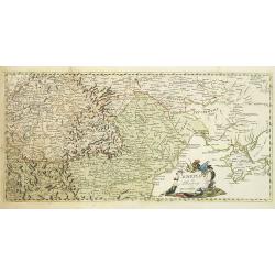
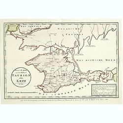
Special karte von dem königreiche Taurien oder der Haldinsel Krim. Nro. 61.
Clear engraving of Crimea, from Reilly's Postal Atlas, 1791. Including the cities of Praghtschisarai, Theodosia. The post road mapspost routes are indicated.
Date: Vienna, 1789
Selling price: ????
Please login to see price!
Sold in 2018
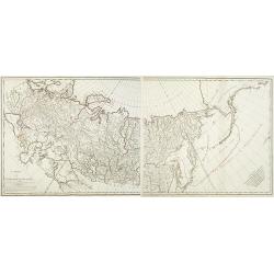
Carte de l'Empire de Russie. (2 maps)
Detailed map of Russia in two sheets, published at the outbreak of the French Revolution. Taken from the Atlas Géographique, published by Jean-Claude Dezauche (active 17...
Date: Paris, c. 1789
Selling price: ????
Please login to see price!
Sold in 2014
Schauplatz des Türkenkriegs von MDCCLXXXIX.
Map showing the region of the east of Europe including Crimea, Romania, Moldova, Hungary, Serbia. Nice cartouche, rare map.
Date: Germany, 1789
Selling price: ????
Please login to see price!
Sold in 2010
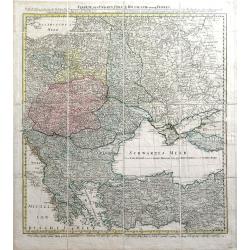
Charte von Ungarn Polen, Russland und der Turkey...
Exceptional folding map of Eastern Europe including the Black Sea published by the Schneider-Weigel firm in Nuremberg, Germany. Includes the countries of Greece, Bulgaria...
Date: Nuremberg, 1789
Selling price: ????
Please login to see price!
Sold in 2010
Nouvelle carte chorographique des Pays-Bas autrichiens.
COMPLETE Wall map of the Southern Low Countries (or Austrian Netherlands) published in 1789, composed of 16 leaves, each map ca. 320x395mm. and bound together.First map w...
Date: Bruxelles, 1789
Selling price: ????
Please login to see price!
Sold
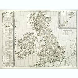
Carte des isles britanniques. . .
A charming map of England, based on a map of Thomas Kitchin. Published by Charles François Delamarche (1740-1817). As successor to the great DeVaugondy, the French publi...
Date: Paris, 1789
Selling price: ????
Please login to see price!
Sold in 2011
Les environs de Neufchateau, Virton, Montmedy. . .Les environs de Luxembourg, Arlon, Thionville.
Map of the east of France and Luxembourg.The map was prepared by Jean Baptiste de Bouge (1757-1833), who prepared one of the first very detailed maps of Belgium.Map 7 and...
Date: Bruxelles, 1789
Selling price: ????
Please login to see price!
Sold in 2012
Schauplatz des Türkenkriegs von MDCCLXXXIX.
Map showing the War scene region if the east of Europe including Crimea, Romania, Moldova, Hungary, Serbia during the year 1789 when the Austrians capture Belgrade from t...
Date: Austria, ca.1789
Selling price: ????
Please login to see price!
Sold in 2012
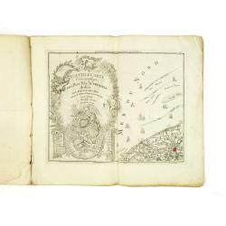
Teatro Della Guerra Nel Nord Tra La Russia, Svezia E Danimarca.
A large map of Scandinavia with the title contained within a martial cartouche. The war the map title refers to was waged from 1788-1790 between Russia and Sweden which e...
Date: Venice, 1789
Selling price: ????
Please login to see price!
Sold in 2012
The Traveller's Companion or the Post roads of England and Wales: With the Distances in Measured Miles By the late John Rocque Chorographer to the King and it is laid on linen in sixteen sections.
Linen-backed folding map of England and Wales by John Rocque published by Robert Sayer of No 53 Fleet Street London. This map is the Robert Sayer published map of 1789 no...
Date: London, 1789
Selling price: ????
Please login to see price!
Sold in 2013
Die Landschaft Romanien, No 16.
Detailed copperplate map featuring parts of Turkey and Southern Bulgaria. Included is Constantinopel. Joseph von Reilly (1766 – 1820) was a Viennese art dealer who tu...
Date: Vienna, 1789
Selling price: ????
Please login to see price!
Sold in 2016
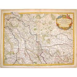
Les Duches de Cleves de Juliers, de Limbourg.
Striking large copper engraved map featuring Rhineland Germany and the Netherlands. Very decorative, large, figural cartouche. Detailed presentation of cities, towns, riv...
Date: Paris, 1789
Selling price: ????
Please login to see price!
Sold in 2016
Post Karte von der Halbinsel Taurien oder Krim 1788.
Detailed map of the Crimean Island. Prepared by François Joseph Maire (Vienna, 1738 - c.1800). F.J. Maire was a publisher, geographer and engineer active in Vienna. He p...
Date: Vienna, 1788-1789
Selling price: ????
Please login to see price!
Sold in 2014
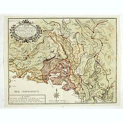
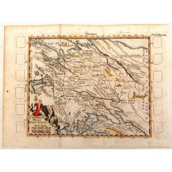
Carte de la partie d'Albanie occupée par le Bacha de Scutari. . . - Karte des Theils von Albanien so der Bascha von Scutari in besitze hat. . .
Detailed map of Albania. Prepared by François Joseph Maire (Vienna, 1738 - c.1800). F.J. Maire was a publisher, geographer and engineer active in Vienna. He published so...
Date: Vienna, 1788-1789
Selling price: ????
Please login to see price!
Sold in 2014
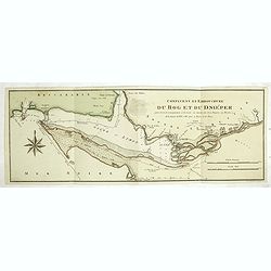
Confluent et embouchure du Bog et du Dniéper.
Detailed map of the mouth of the river Dnieper and the Black Sea, with border lines for the year 1787 and 1788 during the Russian, Turkish War. Prepared by François Jose...
Date: Vienna, 1788-1789
Selling price: ????
Please login to see price!
Sold in 2014
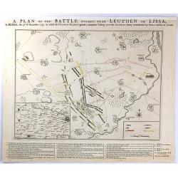
A PLAN OF THE BATTLE NEAR Fought Leuthen OR LISSA, / in SILESIA; the 5th. of December 1757. in Which his PRUSSIAN MAJESTY gained a compleat Victory over the AUSTRIAN Army Commanded by Prince Charles of Lorrain.
A plan the battle of Leuthen, between the Prussian troops, under the command of Friedrich II, and the Austrian troops under the command of Charles of Lorraine on December...
Date: The Hague, 1789
Selling price: ????
Please login to see price!
Sold in 2016
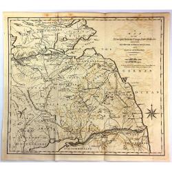
A Map of the Principal Roman Camps, Forts, Walls & c. Between the River Tyne in England and Tay in Scotland.
An antique county map published in "Britannia : or, a Chorographical Description of the flourishing kingdoms of England, Scotland and Ireland" by William Camden...
Date: London, 1789
Selling price: ????
Please login to see price!
Sold in 2016
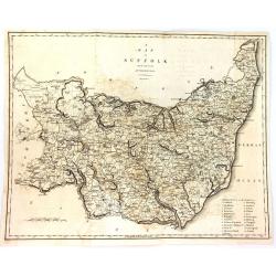
A Map of Suffolk from the Best Authorities.
An attractive and detailed late 18th century map of Suffolk engraved by John Cary and published in Richard Gough's new translation of Camden's Britannia (London: 1789). J...
Date: London, 1789
Selling price: ????
Please login to see price!
Sold in 2016
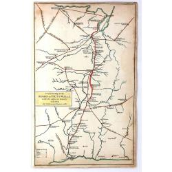
A General Map of the Roman or Picts Walls with the Adjacent Country including the Stations per Lineam Valli
A general Map of the Roman or Picts Walls, (Hadrian's Wall) in Cumberland and Northumberland, and Scotland. Engraved by John Cary for Richard Gough in London around 1789....
Date: London, 1789
Selling price: ????
Please login to see price!
Sold in 2018
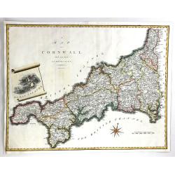
A Map of Cornwall from the Best Authorities
A fine map of Cornwall, in England by John Cary. Published in 'Camden's Britannia' in 1789. Interesting scroll insert featuring the Scilly Islands, with a fancy compass r...
Date: London, 1789
Selling price: ????
Please login to see price!
Sold in 2016
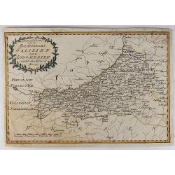
Spezial Karte von des Koenigreichs Galizien und Lodomerien Westlichen Kreisen.
Special Map of the Kingdoms of Galicia and Lodinerien on the border between Poland and Hungary. By Franz von Reilly in 1791. It features a decorative laurel title carto...
Date: Vienna, 1789
Selling price: ????
Please login to see price!
Sold in 2018
Les environs de Louvain..., Les environs de Limbourg, Rolduc,. . .
Showing the cities of Louvain, Liege, Aix la Chapelle, Cologne. . . The map was prepared by Jean Baptiste de Bouge (1757-1833), who prepared one of the first very detaile...
Date: Bruxelles, 1789
Selling price: ????
Please login to see price!
Sold in 2017
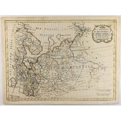
I Governi D'Arcangelo e Bielo-Ozero. . .
An unusual Vincenzo Pazzini Carli's copper engraved map of northern part of Russia in Europe, published in 1789. The map is filled with excellent topographic detail and ...
Date: Rome, 1789
Selling price: ????
Please login to see price!
Sold in 2021
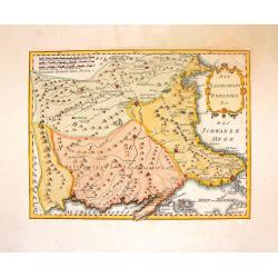
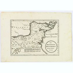
Des Koenigreichs Bulgarien. . .
Von Reilly's map of eastern Bulgaria as it was toward the end of the eighteenth century from the river Danube to the Black Sea. Shows rivers, mountains, larger cities and...
Date: Vienna, 1789
Selling price: ????
Please login to see price!
Sold in 2021
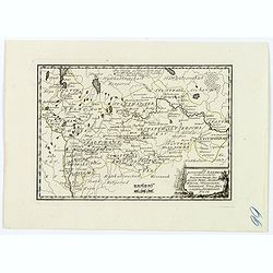
Des Russischen Reiches Statthalterschaften Pleskow, Polozk, Mohilew, Twer, Moskau, Koluga, Wolodimer, Iaroslaw, Tula, Smo, Lensko und Nischgorod. Nro.64
A map of the European part of Russia, that is centered on Moscow. Published by Franz Johann Joseph von Reilly, (1766-1820), who was a Viennese art dealer, who turned to m...
Date: Vienna, 1789
Selling price: ????
Please login to see price!
Sold in 2021
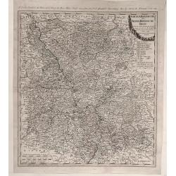
Der Chur Rheinische oder Neider Rheinische Kreis.
Fine detailed 1789 Homann Heir’s map of the lower Rhine circle with the electorates of Mainz, Trier and Cologne. Features a garland style title cartouche. Johann Bapt...
Date: Nuremberg, 1789
Selling price: ????
Please login to see price!
Sold in 2020
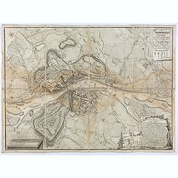
Grundriss der hochfürst. - erzbischöfliche Haupt und Residenz Stadt Salzburg im Jahr 1789 / geometrisch aufgenommen u. gezeichnet von A. F. H. v. Naumann
Uncommon plan of Salzburg as in the year 1789, drawn by A. F. H. Naumann. Engraved by Ch. T. C. Wirsnig.
Date: Salzburg, 1789
Selling price: ????
Please login to see price!
Sold in 2021
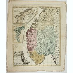
Charte vom Konigreich Norwegen . . .
Decorative map of Kingdom of Norway and the Faroe Islands (Faroese map inserted by C.G. Mengel). According to O.A.Wangensteens and some other charts of the Büschingian g...
Date: Nurenberg, 1789
Selling price: ????
Please login to see price!
Sold in 2022
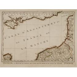
Pays Bas françois et Autrichien..
Map of Belgium. With on verso a chart showing the coasts of the French Channel.Louis Capitaine (1749-1797) worked with Belleyme and Chanlaire on Topographical maps of Fra...
Date: Paris ca.1790
Selling price: ????
Please login to see price!
Sold
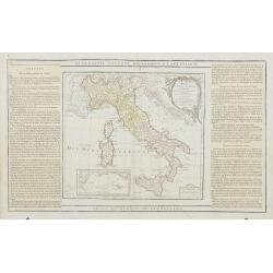
L' Italie Divisée en tous ses Etats..
Decorative map of Italy, showing Corsica and Sardinia. With ornamental title cartouche and inset map of the Mediterranean including Tunis, Malta and Pantelleria.Flanked b...
Date: Paris, 1790
Selling price: ????
Please login to see price!
Sold
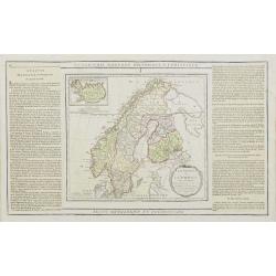
La Suede, et la Norwege Avec l'Islande..
Finely engraved map of Scandinavia, with inset map of Iceland in the upper left and decorative title cartouche.The map is flanked by two columns of French text containing...
Date: Paris, 1790
Selling price: ????
Please login to see price!
Sold in 2010
La Russie Européenne Conformément à l'Atlas de cet Empire. . .
Attractive map of the European part of Russia. Decorated with a title cartouche in the lower left corner.The map is flanked by two columns of French text containing geogr...
Date: Paris, 1790
Selling price: ????
Please login to see price!
Sold in 2009
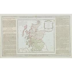
L'Ecosse..
Decorative map showing Scotland divided into northern and southern portions with all the county divisions noted. Embellished with fine title cartouche.The map is flanked ...
Date: Paris, 1790
Selling price: ????
Please login to see price!
Sold
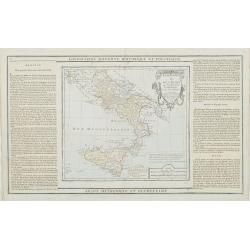
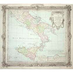
Etats du Roi des Deux Siciles avec les Métropoles Ecclésiastiques et tous leurs Suffragans..
Attractive map of southern Italy and Sicily with ornamental rococo-style title cartouche.The map is flanked by two columns of French text containing geographical informat...
Date: Paris, 1790
Selling price: ????
Please login to see price!
Sold in 2023
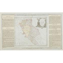
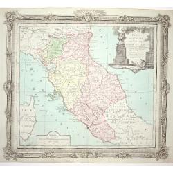
Etats de l' Eglise, de Toscane, Modène et Luques..
Decorative map of Italy covering the region centered on Florence and extending to show Modena, Bologna and Rome.With major cities of the area named among which Siena, Are...
Date: Paris, 1790
Selling price: ????
Please login to see price!
Sold
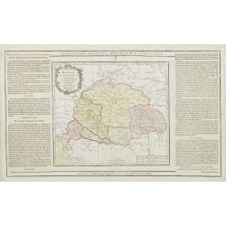
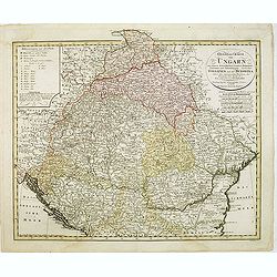
La Hongrie avec les Provinces adjacentes. . .
Attractive map of Hungary, adorned with a rococo-style title cartouche.Left and right box with geographical information about the area. Printed on 2 paste-on slips.Prepar...
Date: Paris, 1790
Selling price: ????
Please login to see price!
Sold in 2009
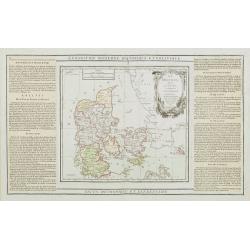
Le Danemark divisé par Provinces et Dioceses sous une Métropole..
Finely engraved map of Denmark, extending eastwards to show all islands including Bornholm. Decorative rococo-style cartouche.Left and right box with geographical informa...
Date: Paris, 1790
Selling price: ????
Please login to see price!
Sold
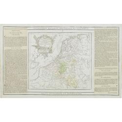
Les Pays Bas Francois Autrichiens, et Hollandois, Divisee en Provinces Civiles et Esslesiastiques..
A decorative copper engraved map of Benelux which extends to include portions of France and Germany. Decorative rococo-style cartouche.Left and right box with geographica...
Date: Paris, 1790
Selling price: ????
Please login to see price!
Sold in 2008
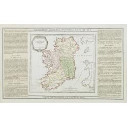
L'Irlande divisée..
Map showing Ireland, decorated with a rococo-style cartouche. Left and right a box with geographical information in French about the country (rivers, counties etc.). Prin...
Date: Paris, 1790
Selling price: ????
Please login to see price!
Sold
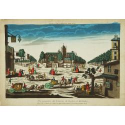
Vue perspective des Environs de Leyden en Holande.
Attractive print of the Pieterskerk in the center of Leiden.J. Chereau was a publisher of optical prints, established in Paris, rue St.Jacques. In the eighteenth and nine...
Date: Paris 1790
Selling price: ????
Please login to see price!
Sold
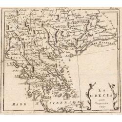
La Turchia d. Europa.
A small map depicting Greece and the Balkan, from the Italian edition of Claude Buffier's ' Geographie Universelle'.
Date: Venice, 1790
Selling price: ????
Please login to see price!
Sold
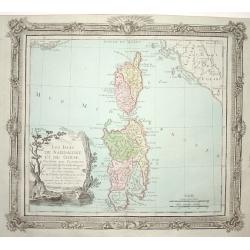
Les Isles de Sardaigne et de Corse..
Attractive copper engraved map of Corsica and Sardinia with Rome at extreme left. Good detail throughout including villages, rivers, and coastlines. Decorated with a nice...
Date: Paris 1790
Selling price: ????
Please login to see price!
Sold
Etats de l' Eglise, de Toscane, Modene et Luques..
Decorative map covering the region centered on Florence and extending to show Rome and Modena. Decorative cartouche and rococo style border.
Date: Paris 1790
Selling price: ????
Please login to see price!
Sold
Estats du Roi des Duex Siciles..
Attractive map of southern Italy and Sicily. Decorative rococo-style cartouche and surrounding border that was printed from a separate copper plate.
Date: Paris 1790
Selling price: ????
Please login to see price!
Sold
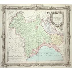
Partie de l' Italie Comprenant les Etats du Roy de Sardaigne
Attractive map of northwest Italy and the Golfo di Genova. Adorned with a very nice title cartouche and enclosed in a rococo-style border.
Date: Paris 1790
Selling price: ????
Please login to see price!
Sold
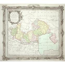
L' Etat de Venise et le Duche de Mantoue
Nice map covering the region centered on Venice and extending to include Modena and Bologne, and eastward to Trieste and Istria. Decorated with a fine title cartouche and...
Date: Paris 1790
Selling price: ????
Please login to see price!
Sold
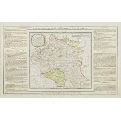
Etats de Pologne et de Lithuanie..
Handsome map of Poland and Lithuania with decorative title cartouche.The map is flanked by two columns of French text containing geographical information about the area. ...
Date: Paris, 1790
Selling price: ????
Please login to see price!
Sold
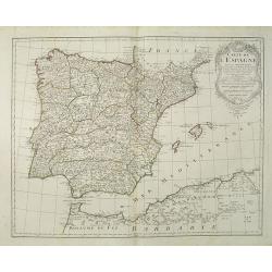
Carte de l'Espagne Dressée par Guillaume Delisle sur la description de Rodrigo Mendez Sylva . . . Le tout augmenté et vérifié en 1765 Par Phil. Buache, de l'Académie des Sciences.
Map of Spain and Portugal, including the North African coast and good detail for Majorca, Minorca and Ibiza. Taken from the Atlas Géographique.. published by Dezauche, a...
Date: Paris, c.1790
Selling price: ????
Please login to see price!
Sold in 2022
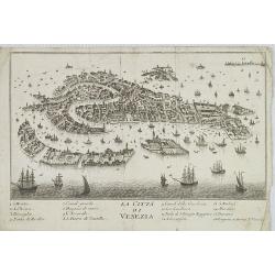
La Citta di Venezia.
Uncommon and decorative plan of Venice.
Date: Italy, ca. 1790
Selling price: ????
Please login to see price!
Sold in 2009
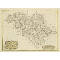
La Wolhynia e la Podolia divise ne' loro Palatinati.
From "Atlante geografico" by Bartolomeo Borghi (1750-1821), published in Sienna 1788-1800.
Date: Siena, Presso Pazzini Carli, 1790
Selling price: ????
Please login to see price!
Sold in 2010
Present Sweden & Norway.
Charming map of Scandinavia, with some detail in Sweden, Norway and Finland. Engraved by Samuel John Neele. (1758-1824) and published by Thomas Stackhouse (1756-1836)
Date: London, T.Stackhouse, 1790
Selling price: ????
Please login to see price!
Sold in 2010
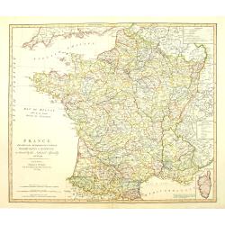
France divided into Metropolitan circles departments & districts.
Map of France with an inset of Corsica in the same scale. William Faden (1750?-1836) was Geographer to His Majesty and to H.R.H. the Prince of Wales.
Date: London, 1790
Selling price: ????
Please login to see price!
Sold in 2010
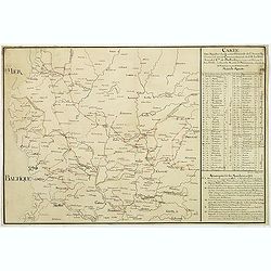
Carte des marches du quartier générale de l'Armée Rusienne fait sous le Commandement de S.E. Le Feld Marechal Comte de Butturlin. . .
Manuscript map of Poland showing the campaign of Marshal Butterlin in 1761 at the conclusion of the "Seven-year's War" (1756 - 1763). To the right an almost dai...
Date: France, c.1761-1790
Selling price: ????
Please login to see price!
Sold in 2014
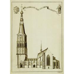
De collegiaale kerk van St.Pieter te Boxtel.
Rare print of St. Pieter church in Boxtel.
Date: Netherlands, c.1790
Selling price: ????
Please login to see price!
Sold in 2011
General Charte von Ungarn :mit seinem Nebenländern Croatien, Dalmatien, Slavonien und Siebenbürgen, ingleichen Gallizien und der Bukowina nebst. . .
Map of Hungary prepared by F. L. Güssefeld and published by Homann Heirs. Engraved by I. Rausch.
Date: Nuremberg, 1790
Selling price: ????
Please login to see price!
Sold in 2012
[No tittle - With Russian text] Poland and the Baltic Sea.
Detailed map of Poland after Rizzi-Zanoni's map of 1783 here in Russian. The map was prepared by the Italian astronomer, geographer and cartographer Giovanni Antonio Rizz...
Date: mperial Academy of St. Petersburg, ca. 1790
Selling price: ????
Please login to see price!
Sold in 2012
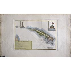
Plan de Kronstadt.
Map shows a city map of Kronstadt.
Date: Paris, 1790
Selling price: ????
Please login to see price!
Sold in 2014
L'Imperio Della Gran Russia.
Striking and highly detailed unusual copper engraved map of the European Russian empire. The map provides several topographic details concerning cities, towns, rivers, la...
Date: Paris, 1790
Selling price: ????
Please login to see price!
Sold in 2015
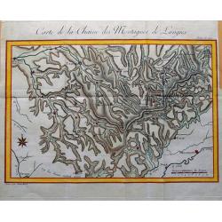
Carte de la Chaine des Montagnes de Langres.
Unusual map an area in North-East France, including the cities of Sens, Troyes, Bar-sur-Aube, Chaumont, Neufchateau, Langres, Gray, Besancon, Dijon, Auxerre. Great detail...
Date: Paris, c1790
Selling price: ????
Please login to see price!
Sold in 2015
Vue Interieure de la Cathedrale de Dorth. (Dordrecht)
Optical view of an interior view of the Cathedral of Dordrecht. So-called Optical view enhanced by water colors. It was produced by Daumont in Paris in about 1790. The op...
Date: Paris, 1790
Selling price: ????
Please login to see price!
Sold in 2018
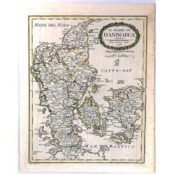
Il Regno Di Danimarca.
A rare map of Denmark, published by Pazzini Carli in Siena. Engraved by A. Borghi. With a lovely quaint, oval, floral, cartouche.
Date: Siena, 1790
Selling price: ????
Please login to see price!
Sold in 2018
Mappa gubernii Orelensis.
Highly detailed rare map covering the area of the Oryol Oblast in Russia, south of Moscow.The map is a result of a new survey of Russia done in the first years of the rei...
Date: St Petersburg, 1750-1790
Selling price: ????
Please login to see price!
Sold in 2016
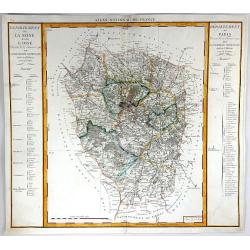
Departement de Paris & Departement de la Seine et de la L'Oise
A fine map featuring the area of France surrounding Paris. From the "Atlas National de France" by Pierre Dumez (1757-1794). The map has a detailed index on both...
Date: Paris, 1790
Selling price: ????
Please login to see price!
Sold in 2016
[Map including Wroclaw and region].
A very detailed of region of Wroclaw (Breslau) from Roch Joseph Julien's "NOUVEAU THEATRE DE LA GUERRE OU ATLAS TOPOGRAPHIQUE ET MILITAIRE" published in 1758 in...
Date: 1790
Selling price: ????
Please login to see price!
Sold in 2016
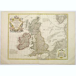
Les Isles Britanniques ou sont le Rme. D'Angleterre . . . Par G. De L'Isle. . . A Paris Chez Dezauche. . .
An uncommon, but attractive map of the British Isles. The bottom right shows the coasts of the Netherlands, Belgium, and northern France and at the upper right is the sou...
Date: Paris, c.1790
Selling price: ????
Please login to see price!
Sold in 2017
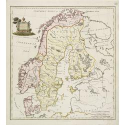
SHVETZIJA I NORVEGIJA [russian Map !]
A copperplate Russian map of Sweden, Norway and Finland with original outline coloring, ca 1790.
Date: St. Petersburg, 1790
Selling price: ????
Please login to see price!
Sold in 2019
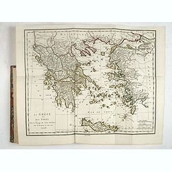
Recueil de Cartes Geographiques, Plans, Vues et Medailles de L'Ancienne Grece, Relatifs Au Voyage du Jeune Anacharsis, Precede d'une Analyse Critique des Cartes.
Great atlas of Ancient Greece, including many classical maps and battle plans. 31 copper engraved maps plans and plates with several hand colored in outline, many double ...
Date: Paris, 1790
Selling price: ????
Please login to see price!
Sold in 2017
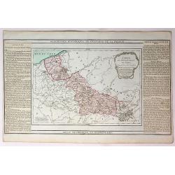
Carte du Departement du Nord.
An attractive map of the department of Nord in northern France by French cartographer, Louis Brion de la Tour. It notes numerous towns, cities, rivers, forests, mountains...
Date: Paris, 1790
Selling price: ????
Please login to see price!
Sold in 2017
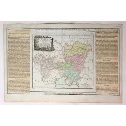
Carte D'Austriche Divisee en Toutes ses Provinces...
An attractive and informative map of Austria by French cartographer, Louis Brion de la Tour. It notes numerous towns, cities, rivers, forests, mountains and other topogra...
Date: Paris, 1790
Selling price: ????
Please login to see price!
Sold in 2018
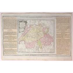
La Suisse Divisee en Toutes ses Cantons.
An attractive and informative map of Switzerland by French cartographer, Louis Brion de la Tour. It notes numerous towns, cities, rivers, forests, mountains and other top...
Date: Paris, 1790
Selling price: ????
Please login to see price!
Sold in 2018
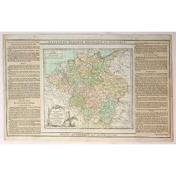
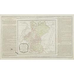
L'Alemagne Divisee en Tous ses Cercles...
An attractive and informative map of Germany by French cartographer, Louis Brion de la Tour. It notes numerous towns, cities, rivers, forests, mountains and other topogra...
Date: Paris, 1790
Selling price: ????
Please login to see price!
Sold in 2018
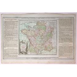
La France, Divisee en ses Quarante Gouvernemens Generaux et Militaires...
An attractive and informative map of France by French cartographer, Louis Brion de la Tour. It notes numerous towns, cities, rivers, forests, mountains and other topograp...
Date: Paris, 1790
Selling price: ????
Please login to see price!
Sold in 2019
Cercles de Haute wt Basse Saxe,Divises en Toutes Leurs Principantes et Provinces...
An attractive and informative map of France by French cartographer, Louis Brion de la Tour. It notes numerous towns, cities, rivers, forests, mountains and other topograp...
Date: Paris, 1790
Selling price: ????
Please login to see price!
Sold in 2019
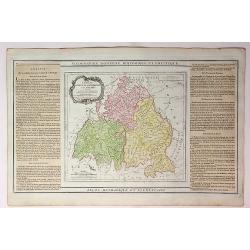
Cercles de Baviere de Franconie et de Souabe...
An attractive and informative map of France by French cartographer, Louis Brion de la Tour. It notes numerous towns, cities, rivers, forests, mountains and other topograp...
Date: Paris, 1790
Selling price: ????
Please login to see price!
Sold in 2018
Cercles de Westphalie Haut et Bas Rhin Divises en Toutes Leurs Principautes et Provinces...
An attractive and informative map of Westphalia by French cartographer, Louis Brion de la Tour. It notes numerous towns, cities, rivers, forests, mountains and other topo...
Date: Paris, 1790
Selling price: ????
Please login to see price!
Sold in 2019
Carte des Departemens de la Meuse, de la Moselle, de la Meurte, des Voges et du Bas Rhin...
An attractive and informative map of departments in France by French cartographer, Louis Brion de la Tour. It notes numerous towns, cities, rivers, forests, mountains and...
Date: Paris, 1790
Selling price: ????
Please login to see price!
Sold in 2018
Carte des Departemens de la Cote d'Or, de Daone et Loire, de la HauteSaone, du Doubs de Jura.....
An attractive and informative map of French departments by French cartographer, Louis Brion de la Tour. It notes numerous towns, cities, rivers, forests, mountains and ot...
Date: Paris, 1790
Selling price: ????
Please login to see price!
Sold in 2019
Quatrieme Age Depuis la Loy Ecrite ou la Sortie D'Egypte Jusqu'a la Dedicace du Temple de Salomon.
An attractive and informative map of the exit from Egypt, to the dedication of Solomon, by French cartographer, Louis Brion de la Tour. To the left and right of the map a...
Date: Paris, 1790
Selling price: ????
Please login to see price!
Sold in 2017
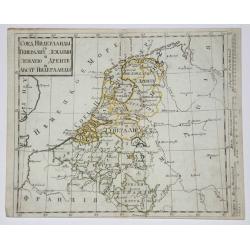
Belgium, Netherlands, Luxemburg.
Copperplate in Russian language of The Netherlands, Belgium and Luxembourg with original outline coloring. Part of Netherlands and Luxembourg are parts of Austria.
Date: St. Petersburg, 1790
Selling price: ????
Please login to see price!
Sold in 2017
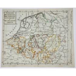
West Germany & Belgium, Luxemburg.
Copperplate russian map of West Germany & Belgium, Luxemburg. with original outline coloring.
Date: St. Petersburg, 1790
Selling price: ????
Please login to see price!
Sold in 2017
![[No tittle - With Russian text] Poland and the Baltic Sea.](/uploads/cache/31405-250x250.jpg)

![[Map including Wroclaw and region].](/uploads/cache/38706-250x250.jpg)
![SHVETZIJA I NORVEGIJA [russian Map !]](/uploads/cache/97961-250x250.jpg)
