Browse Listings in Europe
[Untitled Front views of the coastal relief of Provence]
Copper engraving presenting separate front views of the coastal relief of Provence divided in stripes.It covers the area which extends from Cap Sicié as far as Monaco, i...
Date: Marseille, 1732 - 1746
Selling price: ????
Please login to see price!
Sold
[5 charts of Spanish coasts and harbours.] Plan du Port et Rade ... Jacques Ayrouard
A set of 5 coastal charts from the rare chart book by Jacques Ayrouard: Recueil de plusieurs Ports ... de la Mer Mediterranie.Plan du Port et Rade de Palamos en Catalogne...
Date: 1732-1746
Selling price: ????
Please login to see price!
Sold
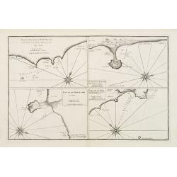
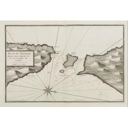
Plan du Passage du Fort Brescon - Plan de la Rade de..
Four charts on one plate : Plan du Passage du Fort Brescon.. - Plan de la Rade de Peniscola en Valence.- Plan de la Rade de Carpi en Valence.- Plan de la Rade de Benidorm...
Date: 1732-1746
Selling price: ????
Please login to see price!
Sold
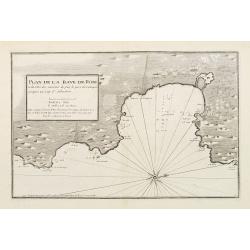
Plan de la Baye de Rose et des Côtes des environs de puis le port de Cadequié jusques au Cap St. Sebastien..
Uncommon chart illustrating part of the Spanish Catalan country seacoast. It covers the area from south of Begur to today Cadaqués, close to the French border.From the r...
Date: Marseille 1732 -1746
Selling price: ????
Please login to see price!
Sold
[Untitled Front views of the coastal relief of the Gulf of Valencia as far as Catalonia]
Copper engraving presenting separate front views of the southeastern coastal relief of Spain divided in stripes.Covering the area which extends from the Gulf of Valencia ...
Date: Marseille 1732 - 1746
Selling price: ????
Please login to see price!
Sold
[Untitled] Front views of the coastal relief of Sardinia.
Copper engraving presenting separate front views of the coastal relief of Sardinia and the Ponziane Islands, divided in stripes.From the rare chart book by Jacques Ayroua...
Date: Marseille, 1732 - 1746
Selling price: ????
Please login to see price!
Sold in 2009
[Untitled] Front views of the Riviera.
Copper engraving presenting separate front views of the Italian Riviera.It covers the whole Gulf of Genoa and Monaco.From the rare chart book by Jacques Ayrouard: Recueil...
Date: Marseille, 1732 - 1746
Selling price: ????
Please login to see price!
Sold
[Untitled] Front views of the coastal relief of Corsica and Tuscany.
Copper engraving presenting separate front views of the coastal relief of northern Corsica and the facing Tuscan shores, divided in stripes.From the rare chart book by Ja...
Date: Marseille, 1732 - 1746
Selling price: ????
Please login to see price!
Sold
[Untitled] Front views of the Tyrrhenian coastal relief of Italy.
Copper engraving presenting separate front views of the coastal relief of Italy between Tuscany and Campania with its Tyrrhenian islands, divided in stripes.From the rare...
Date: Marseille, 1732 - 1746
Selling price: ????
Please login to see price!
Sold in 2009
[Untitled] Front views of the Italian coastal relief.
Copper engraving presenting separate front views of the Tyrrhenian as well as Ionian coastal relief of Italy, divided in stripes.From the rare chart book by Jacques Ayrou...
Date: Marseille, 1732 - 1746
Selling price: ????
Please login to see price!
Sold in 2009
[Untitled] Front views of the Spanish coastal relief.
Separate front views mainly depicting the coastal relief of Catalonia, divided in stripes.From the rare book by Jacques Ayrouard: Recueil de plusieurs Ports .. de la Mer...
Date: Marseille 1732 - 1746
Selling price: ????
Please login to see price!
Sold
[Untitled] Front views of the coastal relief of the French Riviera.
Separate front views depicting the coastal relief of French Riviera, divided in stripes.It covers the littoral zone between Monaco as far as the Iles Hyères.From the rar...
Date: Marseille, 1732 - 1746
Selling price: ????
Please login to see price!
Sold
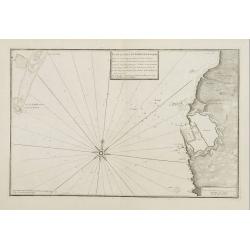
Plan du Passage Entre L isle Azinara et le Cap Azinara de Sardaigne.
Copper engraving depicting the northwestern tip of Sardinia and the southern tip of the Asinara Island.Oriented with West on top. Decorated with a large compass rose.From...
Date: Marseille, 1732 - 1746
Selling price: ????
Please login to see price!
Sold
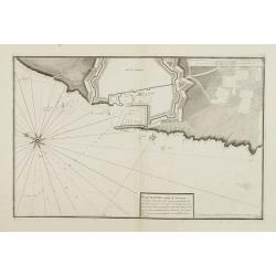
Plan du Port et Rade de Livourne..
Copper engraving showing the harbor and roadstead of Livorno with the adjacent seashores. Decorated with a large compass rose.From the rare chart book by Jacques Ayrouard...
Date: Marseille, 1732 - 1746
Selling price: ????
Please login to see price!
Sold in 2009
Plan du Port et Rade de Livourne..
Copper engraving centered on the harbour and roadstead of Livorno. Decorated with a large compass rose.From the rare chart book by Jacques Ayrouard: Recueil de plusieurs ...
Date: Marseille, 1732 - 1746
Selling price: ????
Please login to see price!
Sold in 2015
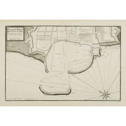
Plan du Port de Civita-Vechia. . .
Large plan of the harbour in Civitavecchia. Decorated with a large compass rose.From the rare chart book by Jacques Ayrouard: Recueil de plusieurs Ports .. de la Mer Méd...
Date: Marseille, 1732 - 1746
Selling price: ????
Please login to see price!
Sold in 2015
[Untitled] Front views of the Italian coastal relief.
Copper engraving presenting separate front views of the Tyrrhenian as well as Ionian coastal relief of Italy, divided in stripes.From the rare chart book by Jacques Ayrou...
Date: Marseille 1732 - 1746
Selling price: ????
Please login to see price!
Sold
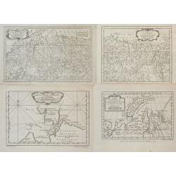
Lot of four maps showing Siberia and parts of Northern Russia.
Carte de la Siberie . ., 1754. Detailed overview of Siberia, showing cities, towns, mountainous and forested areas, and the region's numerous rivers. Route tracks of the...
Date: Paris, ca.1746
Selling price: ????
Please login to see price!
Sold in 2008
[Untitled] Front views of the Spanish coastal relief.
Separate front views depicting great part of the Mediterranean coast of Spain, including Brescon, divided in stripes.It covers the littoral zone between Peñíscola and G...
Date: Marseille, 1732 - 1746
Selling price: ????
Please login to see price!
Sold in 2010
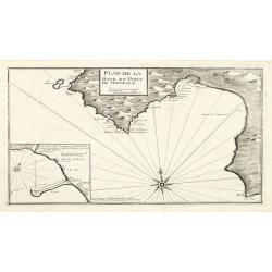
Plan de la Baye et Port de Mayorque. par Jacques Ayrouard pilote real et gravé par Louis Corne.
Large plan of the harbour Majorca. Decorated with a large compass rose.From the rare chart book by Jacques Ayrouard: "Recueil de plusieurs plans des ports et rades e...
Date: Marseille 1732-1746
Selling price: ????
Please login to see price!
Sold in 2010
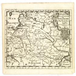
Estats de la Couronne de Pologne.
An interesting small map of the Poland by Nicolas de Fer. From Jacques Robbe’s "Methode pour Apprendre Facilement la Geographie". The map has a scale to 20 ho...
Date: Paris,1746
Selling price: ????
Please login to see price!
Sold in 2011
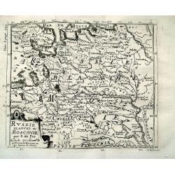
RUSSIE BLANCHE OU MOSCOVIE par N. de Fer
Charming map of North-Eastern Europe and parts of Russia. Includes Riga, Moscow, Novgorod, Samara, the Volga river, the White Sea, etc. Very detailed map with many plac...
Date: Paris, 1746
Selling price: ????
Please login to see price!
Sold in 2012
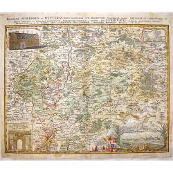
Hassiae Superioris et Wetterau, Paris Delineatio.
Copper engraving By Homann Heirs, dated 1746. Original hand coloring with recent coloring added to border & cartouches.Giessen is located in the center of this detail...
Date: Nuremberg, 1746
Selling price: ????
Please login to see price!
Sold in 2017
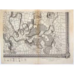
A Map of London and the Adjacent Country 10 Miles Around - (Sheet 1 of 16).
This is a part of an exact Survey of the City of London Westminster, ye Borough of Southwark and the country near ten miles round, begun in 1741 and ended in 1745, by Joh...
Date: London, 1746
Selling price: ????
Please login to see price!
Sold in 2020
Vue du Chateau Royal de Frederichsberg Vers la Cour.
A striking view of Fredericksberg Castle in Copenhagen. From "Den Danske Vitruvius", a richly illustrated 18th-century architectural work on Danish monumental b...
Date: Germany, 1746
Selling price: ????
Please login to see price!
Sold in 2020
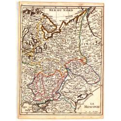
La Moscovie.
Fine original colored map of Russia in Europe by George Louis La Rouge.
Date: Paris, 1746
Selling price: ????
Please login to see price!
Sold in 2015
Partie de la Mer Glaciale Contenant la Nouvelle Zemble et le Pais des Samoiedes.
A detailed map of Nova Zembla and part of the northeast passage in northern Russia. It includes a decorative title cartouche. Produced by Bellin for the L'Histoire Genera...
Date: Paris, 1746
Selling price: ????
Please login to see price!
Sold in 2018
Novae Europae Delineatio.​
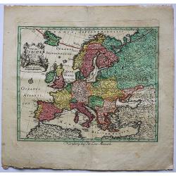
A decorative old colored copper engraved map by Peter Conrad Monath. This interesting map shows the continent of Europe with the Christian countries of Scandinavia, Great...
Date: London, 1746
Selling price: ????
Please login to see price!
Sold in 2018
Brussels.
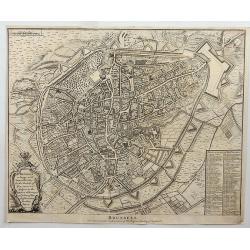
Fine detailed plan of the city of Brussels in Belgium, including fortifications, town plan, roads, farms, rivers and a decorative cartouche with arms, city crest and topp...
Date: London, 1746
Selling price: ????
Please login to see price!
Sold in 2018
A correct Chart of the German Ocean, from the North of Scotland to the Start Point. . .
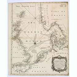
A chart of the German Ocean published in Nicholas Tindal’s continuation of Rapin de Thoyras’s “History of England”, it includes compass rose and a large decorativ...
Date: London, 1746
Selling price: ????
Please login to see price!
Sold in 2019
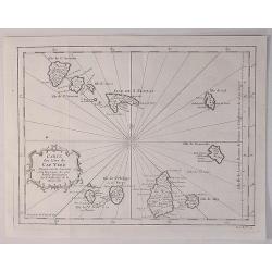
Carte des Isles du Cap Verd.
A decorative example of Bellin's map of the Cape Verde Islands, that features a decorative cartouche and compass rose.Jacques-Nicolas Bellin (1703-1772) was among the mos...
Date: Paris, 1746
Selling price: ????
Please login to see price!
Sold in 2020
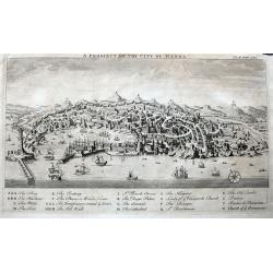
A Prospect of the City of Genoa.
A highly detailed birds-eye view of Genoa. Withy numerous buildings and landmarks of the surrounding area shown. The harbour is filled with sailing ships. A key below nam...
Date: London, ca 1746
Selling price: ????
Please login to see price!
Sold in 2022
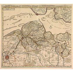
Nieuwe Kaart .. Westelykste Gedeelte van Staats-Vlaanderen
Detailed map of the Westerschelde delta, including Zeeuws Vlaanderen. Isaac Tirion was born in Utrecht ca. 1705. He came to Amsterdam ca. 1725. Tirion published a number ...
Date: Amsterdam 1747
Selling price: ????
Please login to see price!
Sold
Tabula Generalis.. Provinciae XVII. Infer. Germaniae..
A decorative map with uncolored cartouche surrounded by the coats of arms of Brabant, Limburg, Luxembourg, Geldern, Holland, Zeeland, Zutphen, Flandria, Flanders, Artois,...
Date: Nuremberg 1747
Selling price: ????
Please login to see price!
Sold
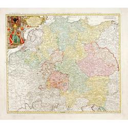
Imperii Romano Germanici..
Johann Baptist Homann's well-engraved map of the Roman Empire with a large decorative cartouche.
Date: Nuremberg, 1747
Selling price: ????
Please login to see price!
Sold
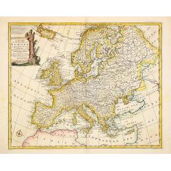
A new and very accurate map of Europe..
General map of Europe, with an elegant baroque title cartouche. Engraved by Emanuel Bowen. In lower left corner, plate number 36.
Date: London 1747
Selling price: ????
Please login to see price!
Sold
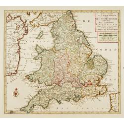
Nieuwe kaart van 'T zuider Gedeelte van Groot Brittannie. . .
Isaac Tirion was born in Utrecht ca. 1705. He came to Amsterdam ca. 1725. Tirion published a number of important books, many of which are still in demand for their intere...
Date: Amsterdam, 1747
Selling price: ????
Please login to see price!
Sold in 2023
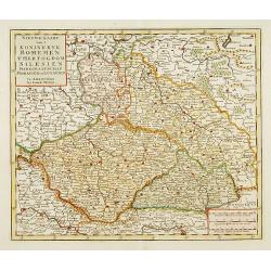
..Bohemen tHertogdom Silesien..Moravien en Lusatien.
Detailed map of Czech Republic. Including the towns of Berlin, Vienna, Regensburg. Isaac Tirion was born in Utrecht ca. 1705. He came to Amsterdam ca. 1725. Tirion publis...
Date: Amsterdam, 1747
Selling price: ????
Please login to see price!
Sold in 2015
[No title] Gravenhage.
A very decorative panoramic view of the town, with detailed keys to the principal buildings and roads of the town.With dedication to Willem Carel Henderik Friso.Engraved ...
Date: The Hague 1747
Selling price: ????
Please login to see price!
Sold
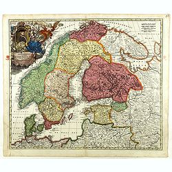
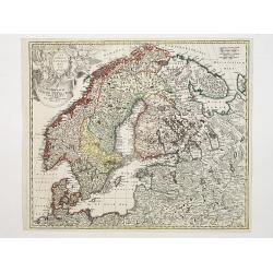
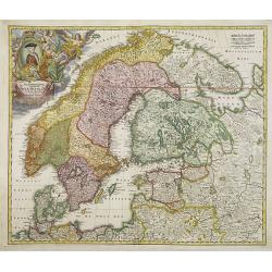
Scandinavia complectens Sueciae, Daniae & Norvegia..
Johann Baptist Homann's well-engraved map has a large decorative cartouche. Detailed map of Scandinavia.Johann Baptist Homann (1663-1724) was a German engraver and publis...
Date: Nuremberg 1747
Selling price: ????
Please login to see price!
Sold
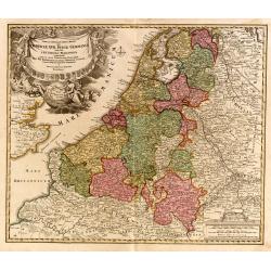
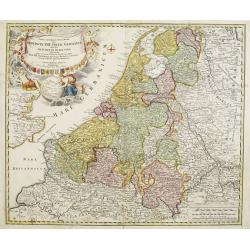
Provinciae XVII Infer Germaniae. . .
A decorative map with colored cartouche surrounded by the coats of arms of Brabant, Limburg, Luxembourg, Geldern, Holland, Zeeland, Zutphen, Flandria, Flanders, Artois, H...
Date: Nurember, 1747
Selling price: ????
Please login to see price!
Sold in 2008
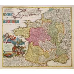
Totius Galliae sive Franciae tabula..
Johann Baptist Homann's well-engraved map of France has a large decorative cartouche and 12 coats of arms of different provinces. Detailed map centred on Venice. Johann B...
Date: Nuremberg, 1747
Selling price: ????
Please login to see price!
Sold
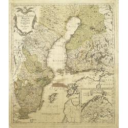
Svea och Göta Riken med Finland och Norland : afritade i Stockholm år 1747
A detailed and rare map of Sweden and Finland, published in Stockholm, 1747. In lower right a cartouche with the north of Norway.Engraved by George Biurman (1700-1755), w...
Date: Stockholm, 1747
Selling price: ????
Please login to see price!
Sold in 2010
Scandinavia complectens Sueciae, Daniae & Norvegia. . .
Johann Baptist Homann's well-engraved map has a large decorative cartouche. Detailed map of Scandinavia.Johann Baptist Homann (1663-1724) was a German engraver and publis...
Date: Nuremberg, 1747
Selling price: ????
Please login to see price!
Sold in 2011
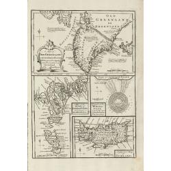
A Map of Old Greenland or Oster Bygd & Wester Bygd ... An Improved Map of Iceland ... A Map of the Islands of Ferro ... A Draught of the Whirlpool on the South East of Sumbo Rocks
An unusual copper engraving by E. Bowen from 'A Complete System of Geography'. Featuring 4 small maps of the North Atlantic Islands Greenland, Iceland and Faroe. A curios...
Date: London, 1747
Selling price: ????
Please login to see price!
Sold in 2011
A New and Accurate Map of Savoy, Piemont, and Montferrat Exhibiting the Present Seat of War. . .
An attractive map of the Savoy and Montferrat regions of southeastern France and the northern Italian region of Piedmont on the Mediterranean Sea coast by Emmanuel Bowen...
Date: London, 1747
Selling price: ????
Please login to see price!
Sold in 2010
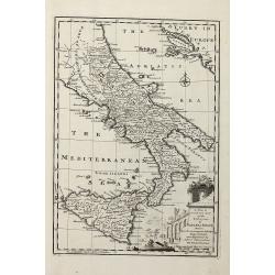
A New & Accurate Map of the Kingdoms of Naples & Sicily
Decorative engraved map of South Italy by Bowen from 'A Complete System of Geography'. Showing the southern part of Italy with Sicily. With one decorative cartouche, a co...
Date: London, 1747
Selling price: ????
Please login to see price!
Sold in 2011
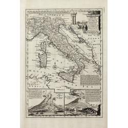
A New and Accurate Map of Italy Drawn from the Latest and Best Authorities, and Regulated by the Most Approved Astronl. Observations
Decorative engraved map of Italy by Bowen from 'A Complete System of Geography'. Below with to inset views of Mount Vesuvius eruptions. With one decorative cartouche, a c...
Date: London, 1747
Selling price: ????
Please login to see price!
Sold in 2013
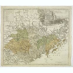
Charta öfwer Södermanland Med Kongl. Maj.ts. Nådigste privilegio utgifven af Kong:e Landtmäteri Contoiret.
A scarce map of the district of Södermanland, including Stockholm in Sweden. A large title cartouche upper right and a key in the upper left corner. The map is a part of...
Date: Stockholm, c.1747
Selling price: ????
Please login to see price!
Sold in 2012
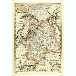
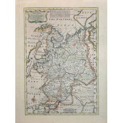
A New & Accurate map of MOSCOVY or Russia in Europe with its Aquisitions. . .
Decorative 1747 copper engraved map of Russia by Emanuel Bowen from "A Complete System of Geography". Showing the region from northern part of Norway to the Bla...
Date: London, 1747
Selling price: ????
Please login to see price!
Sold in 2013
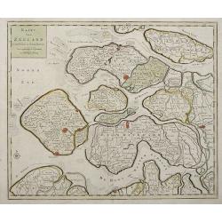
Kaart Van Zeeland.
Interesting map of the Dutch province of Zeeland depicting the individual islands in good detail. The fortified cities are highlighted in red.
Date: Amsterdam, 1747
Selling price: ????
Please login to see price!
Sold in 2013
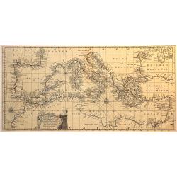
An accurate chart of the Mediterranean and Adriatic Sea. . .
An excellent early engraving of the Mediterranean and Adriatic Sea.
Date: London, 1747
Selling price: ????
Please login to see price!
Sold in 2014
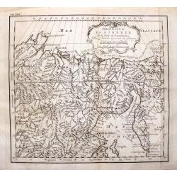
Suite de la Carte de la Siberie et le Paijs de Kamtfchatka.
A detailed map of Russia covering the coast of Siberia and Kamchatka, the island of Sakhalin and part of Tatary. Near the top is the voyage track of Semen Dezhnev who led...
Date: Paris, 1747
Selling price: ????
Please login to see price!
Sold in 2015
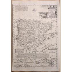
A New & Accurate Map of Spain & Portugal Drawn from the latest Surveys & most approved Maps & Charts The whole being adjusted by Astron Observations. By Emanuel Bowen
A fine Emanuel Bowen map of Spain and Portugal with two inset plans – ‘The Harbour of Port Mahon’ and ‘A Chart of the Straits of Gibraltar, with the Coast of Spai...
Date: London, 1747
Selling price: ????
Please login to see price!
Sold in 2017
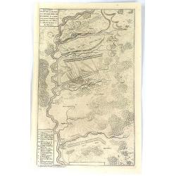
Nouveau Plan de la Bataille Donnee Pres de Hochstet ....
The Battle of Blenheim (referred to in some countries as the Second Battle of Höchstädt), fought on 13 August 1704, was a major battle of the War of the Spanish Success...
Date: Amsterdam, 1747
Selling price: ????
Please login to see price!
Sold in 2019
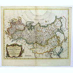
A New and Accurate map of the Whole Russian Empire, as contained both in Europe and Asia...
A pleasant map, by the English cartographer Thomas Kitchin, of the vast Russian Empire, as it was during the middle of the eighteenth century.The map has been colored to ...
Date: London, 1747
Selling price: ????
Please login to see price!
Sold in 2017
A Chart of the South part of Cephalonia, with the Islands of Zante and the Coast of Morea ... [on sheet with] A Chart of the South Coast of Morea from Venetica to CS. Angelo
This two part sea chart features the island of Zante and Cephanolia on the left side, and Serigo to Candia (Crete) on the right. Engraved by 'J[oel] Gas[coyne]' this plat...
Date: 1747
Selling price: ????
Please login to see price!
Sold in 2016
A Chart of the Islands Corfu, Pachsu and Antipachsu with ye Channel and Roads between the Island of Corfu & ye Graetian Coast
A superb rare sea chart with rhumb lines of Corfu and nearby coastlines. The main town and castle in Corfu is clearly outlined. It is engraved by 'J[oel] Gascoyne' and wa...
Date: 1747
Selling price: ????
Please login to see price!
Sold in 2016
A New & Accurate Map of Moscovy, or Russia in Europe, with its Acquisitions.
A quaint detailed map of European Russia by Emmanuel Bowen.
Date: London, 1747
Selling price: ????
Please login to see price!
Sold in 2016
Kaart van Zeeland.
Map of the province of Zeeland, with the fortified cities are highlighted in red. Isaac Tirion was born in Utrecht ca. 1705. He came to Amsterdam ca. 1725. Tirion publish...
Date: Amsterdam, 1747
Selling price: ????
Please login to see price!
Sold in 2016
Anhang zu dem Karten von dem Orenburger.
Copper engraved map of Siberia, Russia, from the Caspian Sea to Tashkent, in Uzbekistan. The map depicts the Aral–Caspian Depression, a lowland depression straddling Eu...
Date: Germany, 1747
Selling price: ????
Please login to see price!
Sold in 2018
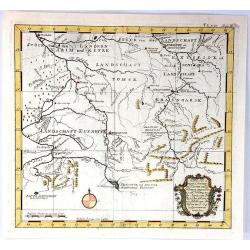
Kurtz von Ernigen Provinzen in Siberien und den Groenzen Yegen China
An unusual antique map of central Siberia featuring Tomsk, Krasnoarsk and Kuznets Oblests (provinces). The bottom of the map borders on China. It features a fancy floral ...
Date: Germany, 1747
Selling price: ????
Please login to see price!
Sold in 2017
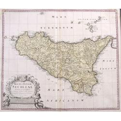
Regni & Insulae Siciliae Tabula geographica ex Archetypo...
A fine and detailed map of Sicily and the Aeolian Islands. Includes many towns, roads, mountains, rivers, bays, etc. Decorated with a large cartouche.
Date: Nuremberg, 1747
Selling price: ????
Please login to see price!
Sold in 2017
Scandinavia complectens Sueciae, Daniae & Norvegia. . .
Johann Baptist Homann's well-engraved map has a large decorative cartouche. Detailed map of Scandinavia.Johann Baptist Homann (1663-1724) was a German engraver and publis...
Date: Nuremberg, 1747
Selling price: ????
Please login to see price!
Sold in 2018
A New & Accurate Map of Moscovy, or Russia in Europe, with its Acquisitions.
A detailed map of European Russia by Emmanuel Bowen. It depicts the European portion of Russia extending from the Gulf of Finland to the Ural Mountains. The map offers ex...
Date: London, 1747
Selling price: ????
Please login to see price!
Sold in 2018
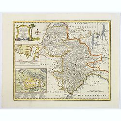
A New and Accurate Map of Savoy, Piedmont, and Montferrat. . .
This is the striking 1747 map of Savoy, Piedmont and Montserrat in northern Italy by Emanuel Bowen. It covers part of modern day France and Italy from Lake Geneva south a...
Date: London, 1747
Selling price: ????
Please login to see price!
Sold in 2018
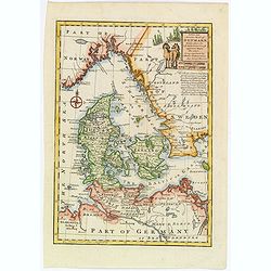
A New and Accurate map of Denmark.
This is the beautiful 1747 map of Denmark by the British cartographer Emanuel Bowen. It covers all of Jutland and the islands of Zealand, Funen and Lolland. Parts of sout...
Date: London, 1747
Selling price: ????
Please login to see price!
Sold in 2020
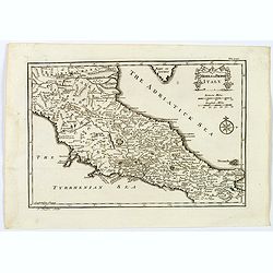
Middle or Proper Italy.
A map of central Italy, from Roman times, and published in "An Universal History from the Earliest Account of Time to the Present". With a quaint title cartouch...
Date: London, ca 1747
Selling price: ????
Please login to see price!
Sold in 2019
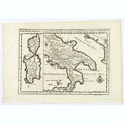
A Map of Great Greece and of the Islands of Sardinia and Corsica. . .
A map showing the islands of Sardinia and Corsica, and southern Italy to the northern tip of Sicily in roman times. From "An Universal History, from the Earliest Acc...
Date: London, 1747
Selling price: ????
Please login to see price!
Sold in 2020
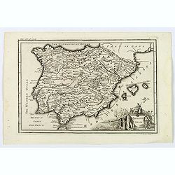
Antient Spain.
A nice map of Ancient Spain, published in "An Universal History from the Earliest Account of Time to the Present". It shows Spain in Roman times, with Latin spe...
Date: London, 1747
Selling price: ????
Please login to see price!
Sold in 2019
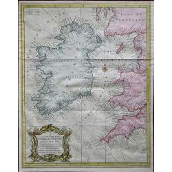
A Correct Chart of St. Georges Channel and the Irish Sea, Including all the Coast of Ireland, and ye West Coast of Great Britain from Cantire to Portland Isle: From the latest & best Observations.
A 1747 nautical chart or maritime map of Ireland and the St. Georges Channel. Engraved by R. W. Seale, the map covers the whole of Ireland as well as adjacent parts of Sc...
Date: London, 1747
Selling price: ????
Please login to see price!
Sold in 2019
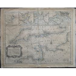
A correct Chart of the English Channel - From the No. Foreland to the Lands End on the Coast of England, and from Calais to Brest on the Coast of France . . .
The English Channel, featuring insets of the Isles of Scilly, Falmouth Haven, Plymouth Sound and the Isle of Wight and ye adjacent Harbours. Alderney, Guernsey, Jersey an...
Date: London, 1747
Selling price: ????
Please login to see price!
Sold in 2020
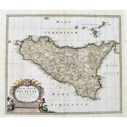
Regni & Insulae Siciliae tabula geographica...
A very detailed map of Sicily and surrounding smaller islands (Lipari, Stromboli, Ustica, etc.). Shows the Etna volcano, rivers, hills, roads, and many place names. With ...
Date: Nuremberg, ca. 1747
Selling price: ????
Please login to see price!
Sold in 2021
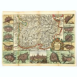
Duche de Baviere. Het Hertogdom Byeren.
A decorative and very detailed map of Bavaria in southern Germany, first drawn by Daniel de la Feuille in 1706 that includes Munich and Augsburg. Surrounded by thirteen m...
Date: Paris, 1747
Selling price: ????
Please login to see price!
Sold in 2021
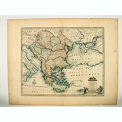
A new & accurate map of Turkey in Europe with the adjacent countries. . .
An excellent mid 18th century map of Greece, including Albania, Macedonia, Romania, Bulgaria, Serbia, Croatia, Hungary etc. the Black Sea and part of Turkey. An early imp...
Date: London, 1747
Selling price: ????
Please login to see price!
Sold in 2023
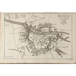
Mastricht avec les Attaques Leve sur les Lieux en Juin 1748. A Paris chez Le Sr. Le Rouge
A rare separate published plan of Maastricht by G. L. le Rouge. Showing the fortified city with important buildings named. With a key from a to x, a mileage scale and a c...
Date: Paris, 1748
Selling price: ????
Please login to see price!
Sold in 2011
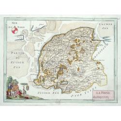
La Frise.
Map of the Dutch province Friesland, decorated with a nice title cartouche and a compass rose in the sea.
Date: Paris 1748
Selling price: ????
Please login to see price!
Sold
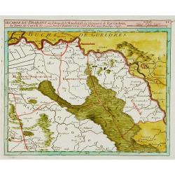
Carte du Brabant ou.. le Maesland.. de Ravenstein..
Covering north-eastern part of present day Noord-Brabant including towns of Grave, Gennep, Vlierlingsbeek, Venray, Bakel, Boxmeer, Heeswijk Dinther.
Date: Paris 1748
Selling price: ????
Please login to see price!
Sold
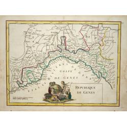
Republique de Genes.
Nice map of northwest Italy and the Gulf of Genoa, at left Nice and Monaco, there is a nice putti-scene in the sea.
Date: Paris 1748
Selling price: ????
Please login to see price!
Sold
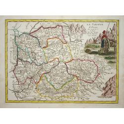
La savoye.
Nice map of the Savoie at the top the lake of Geneva and the Alps.
Date: Paris 1748
Selling price: ????
Please login to see price!
Sold
![[Untitled Front views of the coastal relief of Provence]](/uploads/cache/23302-250x250.jpg)
![[5 charts of Spanish coasts and harbours.] Plan du Port et Rade ... Jacques Ayrouard](/uploads/cache/23140-250x250.jpg)
![[Untitled Front views of the coastal relief of the Gulf of Valencia as far as Catalonia]](/uploads/cache/23947-250x250.jpg)
![[Untitled] Front views of the coastal relief of Sardinia.](/uploads/cache/24831-250x250.jpg)
![[Untitled] Front views of the Riviera.](/uploads/cache/24832-250x250.jpg)
![[Untitled] Front views of the coastal relief of Corsica and Tuscany.](/uploads/cache/24834-250x250.jpg)
![[Untitled] Front views of the Tyrrhenian coastal relief of Italy.](/uploads/cache/24835-250x250.jpg)
![[Untitled] Front views of the Italian coastal relief.](/uploads/cache/24836-250x250.jpg)
![[Untitled] Front views of the Spanish coastal relief.](/uploads/cache/24838-250x250.jpg)
![[Untitled] Front views of the coastal relief of the French Riviera.](/uploads/cache/24840-250x250.jpg)
![[Untitled] Front views of the Italian coastal relief.](/uploads/cache/24848-250x250.jpg)
![[Untitled] Front views of the Spanish coastal relief.](/uploads/cache/28217-250x250.jpg)

![[No title] Gravenhage.](/uploads/cache/21302-250x250.jpg)
![A Chart of the South part of Cephalonia, with the Islands of Zante and the Coast of Morea ... [on sheet with] A Chart of the South Coast of Morea from Venetica to CS. Angelo](/uploads/cache/97451-250x250.jpg)
