Browse Listings in Europe
Carte de la principauté de Liege et de ses environs..
Map of present-day Dutch and Belgium Brabant and Liege, with an imposing title cartouche Carte de la pricipauté de Liége et de ses environs tirée des observations fait...
Date: Liege, ca.1748
Selling price: ????
Please login to see price!
Sold
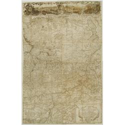
[2 maps] Novissimum Silesiae Theatrum id est Exactissimus Superioris et Inferioris Silesiae.. (2 maps)
Impressive, highly detailed map of Silesia adorned with 2 large superb cartouches on 2 opposite corners of the map. The title cartouche is decorated with little angels an...
Date: Amsterdam, c. 1748
Selling price: ????
Please login to see price!
Sold in 2008
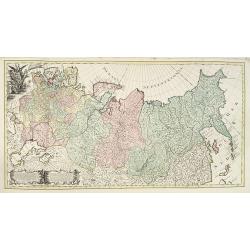
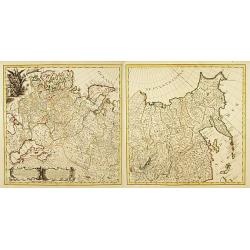
Carte Generale de l'Empire de Russie. (2 maps)
Highly decorative copper-engraved map representing the Russian empire. With superb title cartouche and two explanatory cartouches with text translated in Latin and French...
Date: Amsterdam c. 1748
Selling price: ????
Please login to see price!
Sold
L' Europe.
Gilles Robert de Vaugondy (!686-1766) and son Didier (1723-86), Paris geographers and publishers. Gilles succeedded Pierre Moulart Sanson in 1730. ' Atlas Portatif', 1748...
Date: Paris, 1748
Selling price: ????
Please login to see price!
Sold
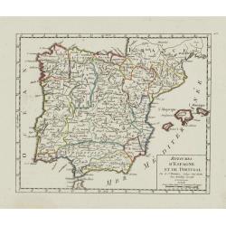
Royaumes d'Espagne et de Portugal.
Detailed map of Spain, Portugal and Baleares islands. Showing also south part of France and Gibraltar. Dated 1748.From Atlas Portatif Universel, by Robert de Vaugondy.Pag...
Date: Paris, ca. 1748
Selling price: ????
Please login to see price!
Sold in 2023
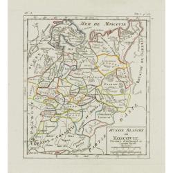
Russie Blanche ou Moscovie. . .
Nice small map of European Russia, framed by "Suede", "Pologne", "Ukraie" ou "Cosaquie", "...
Date: Paris, later than 1748
Selling price: ????
Please login to see price!
Sold in 2009
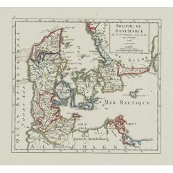
Royaume de Danemark.
Detailed map of Denmark, centered on Själland. Showing also the southernmost tip of the Scandinavian peninsula, Scania. Dated 1748.From Atlas Portatif Universel, by Robe...
Date: Paris, 1748
Selling price: ????
Please login to see price!
Sold
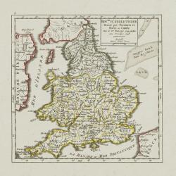
Roy.me d'Angleterre..
Nice small map of England, dated 1748. From Atlas Portatif Universel, by Robert de Vaugondy.Page 5 outside border top left.
Date: Paris, 1748
Selling price: ????
Please login to see price!
Sold
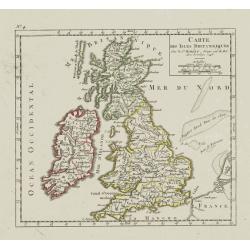
Carte des Isles Britanniques.
Nice small map of the British Isles, dated 1748. From Atlas Portatif Universel, by Robert de Vaugondy.Page 4 outside border top left.
Date: Paris, ca. 1748
Selling price: ????
Please login to see price!
Sold
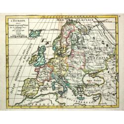
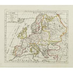
L'Europe. Divisée suivant ses principaux Etats.
Nice small map of Europe, dated 1748. From Atlas Portatif Universel, by Robert de Vaugondy.Page 3 outside border top left.
Date: Paris, ca.1748
Selling price: ????
Please login to see price!
Sold
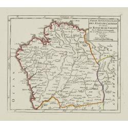
Partie Septentrionale des Etats de Castille où se trouve le Royaume de Gallice..
Detailed map of Galicia, in the northwestern tip of the Iberian Peninsula. From Atlas Portatif Universel, by Robert de Vaugondy.Page 43 outside border top left. Mary Spon...
Date: Paris, later than 1748
Selling price: ????
Please login to see price!
Sold
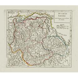
Duché de Savoye.
Detailed small map centered on Savoy, extending eastwards to include the Italian region Valle d'Aosta.From Atlas Portatif Universel, by Robert de Vaugondy. Page 53 outsid...
Date: Paris, later than 1748
Selling price: ????
Please login to see price!
Sold in 2019
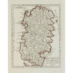
Isle et Royaume de Sardaigne.
Detailed small map of Sardinia. From Atlas Portatif Universel, by Robert de Vaugondy.Page 54 outside border top right. Mary Sponberg Pedley does not mention a state witho...
Date: Paris, later than 1748
Selling price: ????
Please login to see price!
Sold
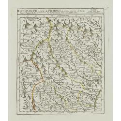
II. Cours du Po et Partie du Piémont où sont les environs de Turin..
Detailed small map showing the northwestern part of Piedmont and a short stretch of the river Po going through Turin.Relief shown pictorially. From Atlas Portatif Univers...
Date: Paris, later than 1748
Selling price: ????
Please login to see price!
Sold
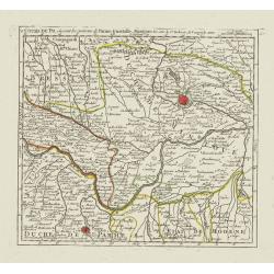
V. Cours du Po, où sont les environs de Parme, Guastalle, Mantoue, &c.
Detailed small map centered on the stretch of the river Po flowing through the region Lombardy, between Villanova sull'Arda and San Siro, southeast of Mantua.From Atlas P...
Date: Paris, later than 1748
Selling price: ????
Please login to see price!
Sold
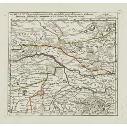
VI. Cours du Po, ou sont les environs de la Mirandole, partie du Veronese, Padouan, Ferrarese, Bolonois, &c.
Detailed small map centered on the stretch of the river Po flowing between Ostiglia and Ro, in the Province of Ferrara.From Atlas Portatif Universel, by Robert de Vaugond...
Date: Paris, later than 1748
Selling price: ????
Please login to see price!
Sold
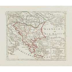
Carte de la Turquie d\'Europe des Isles de la Grece et de l\'Archipel.
Small detailed map encompassing the area between the Adriatic Sea and the Black Sea. Centered on Greece.From Atlas Portatif Universel, by Robert de Vaugondy. Page 63 and ...
Date: Paris, later than 1748
Selling price: ????
Please login to see price!
Sold in 2008
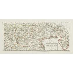
Etat de la Seigneurie et République de Venise avec l'Evêché de Trente.
Detailed small map of northern Italy. Including Istria in the East and extending westwards as far as Bergamo and Crema.From Atlas Portatif Universel, by Robert de Vaugond...
Date: Paris, 1748
Selling price: ????
Please login to see price!
Sold in 2010
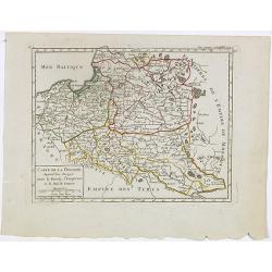
Carte de la Pologne. Aujourd'hui Partagée entre la Russie, l'Empereur et le Roi de Prusse.
Small detailed map showing Poland, Lithuania, the Kaliningrad Oblast, Belarus and part of Ukraine.From Atlas Portatif Universel, by Robert de Vaugondy. Page 35 and Tom. P...
Date: Paris, later than 1748
Selling price: ????
Please login to see price!
Sold in 2020
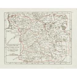
Grand Duché de Lithuanie divisé par Palatinats.
Small detailed map centered on Lithuania and Belarus. From Atlas Portatif Universel, by Robert de Vaugondy.Unrecorded state with erased date. Page 38 outside border top r...
Date: Paris, later than 1748
Selling price: ????
Please login to see price!
Sold
Partie Occidentale de la Russie Polonoise.. Haute Podolie.
Small detailed map showing the western part of Ukraine. From Atlas Portatif Universel, by Robert de Vaugondy.Unrecorded state with erased date. Page 40 outside border top...
Date: Paris, later than 1748
Selling price: ????
Please login to see price!
Sold in 2008
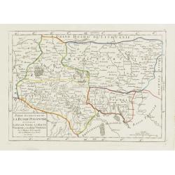
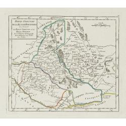
Partie orientale de la Russie Polonaise, où se trouvent la Basse Volhynie et la Basse Podolie.
Small detailed map showing the eastern part of Ukraine, with Volhynia and Podillia. Centered on the course of the Dnieper river.From Atlas Portatif Universel, by Robert d...
Date: Paris, later than 1748
Selling price: ????
Please login to see price!
Sold in 2021
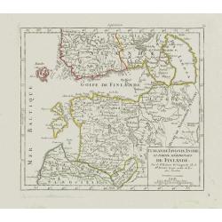
Curlande, Livonie, Ingrie et partie méridionale de Finlande.
Small detailed map showing Latvia, Estonia, part of Russia and southern Finland. With St. Petersburg in the right part.From Atlas Portatif Universel, by Robert de Vaugond...
Date: Paris, later than 1748
Selling price: ????
Please login to see price!
Sold in 2008
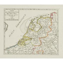
Carte des Provinces-Unies des Pays-Bas.
Attractive small map of the Low Countries. Dated 1748. From Atlas Portatif Universel, by Robert de Vaugondy.Page 17 outside border top right.
Date: Paris, 1748
Selling price: ????
Please login to see price!
Sold
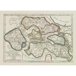
Carte du Comté de Zélande.
Attractive small map illustrating the northern part of Zeeland. From Atlas Portatif Universel, by Robert de Vaugondy.Page 18 outside border top right. Mary Sponberg Pedle...
Date: Paris, later than 1748
Selling price: ????
Please login to see price!
Sold
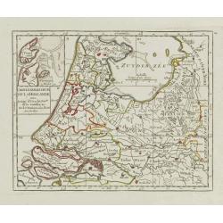
Carte Generale des Six de la Hollande, avec, la Seig? D'Utrecht, Partie de la Gueldre, &c.
Attractive small map illustrating part of the Netherlands, namely the provinces of Noord- and Zuid-Holland, Gelderland and Utrecht.With an inset map of the island of Texe...
Date: Paris, later than 1748
Selling price: ????
Please login to see price!
Sold in 2021
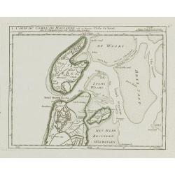
I. Carte du Comté de Hollande où se trouve l'Isle de Texel.
Attractive small map illustrating the northernmost tip of Noord-Holland and Texel. From Atlas Portatif Universel, by Robert de Vaugondy.Unrecorded state with erased date....
Date: Paris, later than 1748
Selling price: ????
Please login to see price!
Sold
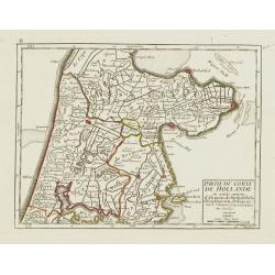
II. Partie du Comté de Hollande.. Edam &c.
Attractive small map illustrating the central part of Noord-Holland, between West Friesland and the IJ bay.From Atlas Portatif Universel, by Robert de Vaugondy. Unrecorde...
Date: Paris, later than 1748
Selling price: ????
Please login to see price!
Sold in 2020
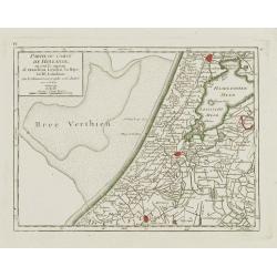
IV. Partie du Comté de Hollande.. Haarlem, Leyden, la Haye..
Attractive small map centered on Zuid Holland, including Leiden, Delft extending northwards as far as Haarlem.From Atlas Portatif Universel, by Robert de Vaugondy. Unreco...
Date: Paris, later than 1748
Selling price: ????
Please login to see price!
Sold in 2017
V. Carte de la Hollande et de la Seigneurie, d'Utrecht?
Detailed small map showing an area straddling the provinces of North Holland and Utrecht. Showing Amsterdam in the upper left corner.From Atlas Portatif Universel, by Rob...
Date: Paris, later than 1748
Selling price: ????
Please login to see price!
Sold
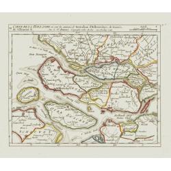
VII. Carte de la Hollande ou sont les environs de Rotterdam..
Attractive small map centered on the island of Voorne-Putten with Rotterdam and Dort[recht]. From Atlas Portatif Universel, by Robert de Vaugondy.Unrecorded state with er...
Date: Paris, later than 1748
Selling price: ????
Please login to see price!
Sold
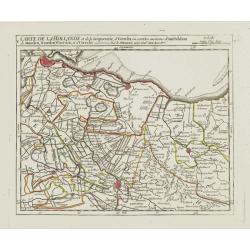
VIII. Carte de la Hollande ou sont les environs de Schoonhove..
Nice small map showing an area straddling the provinces of North Holland, Gelderland and North Brabant, crossed by the rivers Lower Rhine and Meuse.From Atlas Portatif Un...
Date: Paris, later than 1748
Selling price: ????
Please login to see price!
Sold
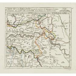
IX. Carte de la Hollande ou sont les environs de Nimegue..
Attractive small map showing an area straddling the border between the Netherlands and Germany. Centered on Nijmegen.From Atlas Portatif Universel, by Robert de Vaugondy....
Date: Paris, later than 1748
Selling price: ????
Please login to see price!
Sold
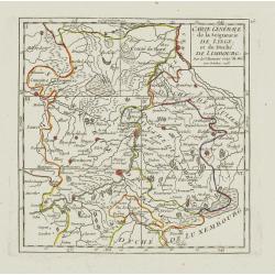
Carte Générale de la Seigneurie de Lyege, et du Duché de Limbourg.
Attractive small map showing an area straddling the border between the Netherlands, Belgium and Germany.Centered on Maastricht. Dated 1748. Divided into 6 sections. From ...
Date: Paris, 1748
Selling price: ????
Please login to see price!
Sold
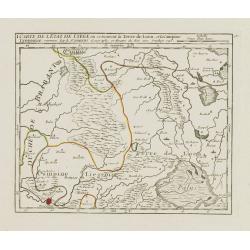
I. Carte de l'Etat de Lyege ou se trouvent la Terre de Leon, et la Campine Lyegeoise.
Attractive small map encompassing the eastern part of the Flemish Limburg. It shows the town of Diest in the lower left corner. Dated 1748.From Atlas Portatif Universel, ...
Date: Paris, 1748
Selling price: ????
Please login to see price!
Sold in 2022
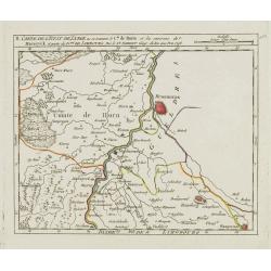
II. Carte de l'Etat de Lyege.. et partie du D.ché de Limbourg.
Attractive small map showing an area straddling the border between the Netherlands, Belgium and Germany. Centered on Roermond. Dated 1748.From Atlas Portatif Universel, b...
Date: Paris, 1748
Selling price: ????
Please login to see price!
Sold
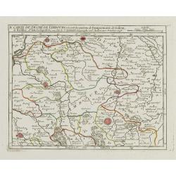
IV. Carte du Duché de Limbourg.. Aix la Chapelle &c.
Attractive small map showing an area straddling the border between the Netherlands, Belgium and Germany.Delimited by the towns of Sittard, Aachen and Dalhem. Dated 1748.F...
Date: Paris, 1748
Selling price: ????
Please login to see price!
Sold in 2012
V. Carte de l\'Etat de Lyege.. ou se trouvent Lyege, Hannuye, Huy..
Attractive small map showing part of the Wallon region, south west of Liège. Dated 1748. From Atlas Portatif Universel, by Robert de Vaugondy.Page 15e outside border top...
Date: Paris, 1748
Selling price: ????
Please login to see price!
Sold in 2008
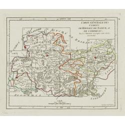
Carte Générale des Comtés de Haynaut, de Namur, et de Cambresis.
Attractive small map encompassing an area straddling the border between Belgium and France.Showing Cambrai, Tournai, Mons and Namur. Divided into 10 sections. From Atlas ...
Date: Paris, after 1748
Selling price: ????
Please login to see price!
Sold in 2008
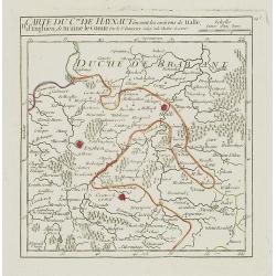
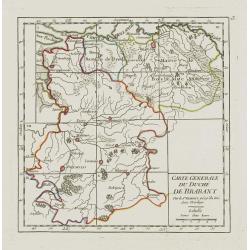
Carte Generale du Duché de Brabant.
Nice small map illustrating the Duchy of Brabant in the Low Countries. Divided into 10 sections. Centered on Herentals.The historical region consisted not only of the thr...
Date: Paris, later than 1748
Selling price: ????
Please login to see price!
Sold
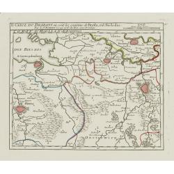
II. Carte du Brabant où sont les environs de Bréda, et de Bosleduc.
Nice small map illustrating part of North Brabant. Extending West to East from Breda to ?s-Hertogenbosch.From Atlas Portatif Universel, by Robert de Vaugondy. Unrecorded ...
Date: Paris, later than 1748
Selling price: ????
Please login to see price!
Sold
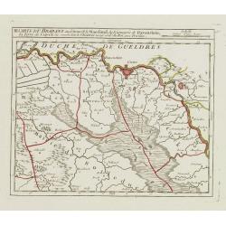
III. Carte du Brabant ou se trouvet le Maesland, la Seigneurie de Ravenstein, la Terre de Cuyck &c.
Nice small map illustrating a stretch of the river Meuse, flowing besides Alphen, Grave and Gennep.From Atlas Portatif Universel, by Robert de Vaugondy. Unrecorded state ...
Date: Paris, later than 1748
Selling price: ????
Please login to see price!
Sold
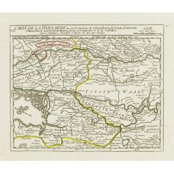
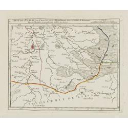
[IV.] Carte du Brabant où se trouvét la Mairie de Santhoven.. Ryen.
Nice small map encompassing an area which straddles the border between Belgium and the Netherlands.Showing Antwerp in the central lower part. From Atlas Portatif Universe...
Date: Paris, later than 1748
Selling price: ????
Please login to see price!
Sold in 2008
VI. Carte du Brabant ou se trouv.t les envir.s d'Eyndhoven..
Nice small map illustrating part of southeastern Noord Brabant. With Eindhoven and Helmond in center of map.From Atlas Portatif Universel, by Robert de Vaugondy. Unrecord...
Date: Paris, later than 1748
Selling price: ????
Please login to see price!
Sold
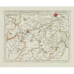
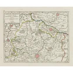
VII. Carte du Brabant ou sont les environs de Bruxelles, de Malines et Liere.
Nice small map illustrating part of the Flemish region and the Brussels-Capital Region. It shows Brussels, Aalst, Dendermonde, Mechelen and Lier.From Atlas Portatif Unive...
Date: Paris, later than 1748
Selling price: ????
Please login to see price!
Sold
[VIII.] Carte du Brabant ou sont les env.s de Louvain, d'Ascot, de Diest de Leeuwe &c.
Nice small map illustrating part of the Flemish region. It shows Leuven, Aarschot, Diest and Sint-Truiden.From Atlas Portatif Universel, by Robert de Vaugondy. Unrecorded...
Date: Paris, later than 1748
Selling price: ????
Please login to see price!
Sold in 2022
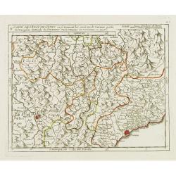
[III]. Carte de l'Etât de Gênes où se trouvent la Principauté d'Oneille, les enviros d'Albinga, le Marquisat de Finale &c.
Detailed small map showing the Ligurian seacoast stretching from Oneglia as far as Vado Ligure.Relief shown pictorially. From Atlas Portatif Universel, by Robert de Vaugo...
Date: Paris, later than 1748
Selling price: ????
Please login to see price!
Sold in 2013
IV. Carte de l'Etât de Gênes ou se trouvent les environs de Savone..
Detailed small map showing an area straddling the Piedmontese province of Cuneo and the Ligurian province of Savona.Relief shown pictorially. From Atlas Portatif Universe...
Date: Paris, later than 1748
Selling price: ????
Please login to see price!
Sold in 2013
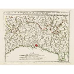
V. Carte des Environs de Genes..
Detailed small map centered on Genoa. With Portofino in the lower right corner. Relief shown pictorially.From Atlas Portatif Universel, by Robert de Vaugondy.Page 56.e ou...
Date: Paris, later than 1748
Selling price: ????
Please login to see price!
Sold in 2017
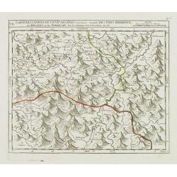
VII. Carte des Confins de l'Etât de Gênes.. Milanez et du Parmesan.
Detailed small map showing an area straddling the provinces of Alessandria, Pavia and Piacenza on 3 different regions.Relief shown pictorially. From Atlas Portatif Univer...
Date: Paris, later than 1748
Selling price: ????
Please login to see price!
Sold in 2014
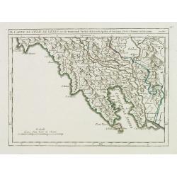
IX. Carte de l'Etât de Gênes ou se trouvent Sestri-di Levante, Spetia et Sarzana.
Detailed small map showing the east most tip of Liguria. Relief shown pictorially.From Atlas Portatif Universel, by Robert de Vaugondy.Page 56.i outside border top right....
Date: Paris, later than 1748
Selling price: ????
Please login to see price!
Sold in 2008
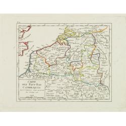
Carte des Pays-Bas Catholiques.
Nice small map that extends from Dieppe to Verdun and north into Holland. Dated 1748.From Atlas Portatif Universel, by Robert de Vaugondy.
Date: Paris, 1748
Selling price: ????
Please login to see price!
Sold in 2008
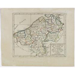
I. Carte du Comté de Flandre où sont les env.s de l'Ecluse, d'Ardenburg.. &c.
Nice small map illustrating the southwestern most part of Zeeland. Centered on Sluis. Showing Aardenburg and Vlissingen. Dated 1768.From Atlas Portatif Universel, by Robe...
Date: Paris, later than 1748
Selling price: ????
Please login to see price!
Sold in 2008
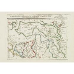
II. Carte de la Flandre où sont les environs d'Axel, d'Hulst..
Nice small map illustrating the southeastern part of Zeeland. Showing Middelburg, Goes, Tholen, Bergen op Zoom, Hulst and Axel.From Atlas Portatif Universel, by Robert de...
Date: Paris, later than 1748
Selling price: ????
Please login to see price!
Sold in 2008
IV. Carte du Comté de Flandre où sont les environs de Bruges, d'Ostende, de Dixmunde.
Nice small map covering part of the West Flanders, delimited by Oostende, Bruges, Tielt, Roeselare and Diksmuide.From Atlas Portatif Universel, by Robert de Vaugondy. Unr...
Date: Paris, later than 1748
Selling price: ????
Please login to see price!
Sold in 2008
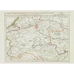
V. Carte de la Flandre où sont les environs de Gand.. et d'Anvers.
Charming small map covering part of the East Flanders, delimited by Ghent, Sas van Gent, Aalst, and Antwerp.From Atlas Portatif Universel, by Robert de Vaugondy. Unrecord...
Date: Paris, later than 1748
Selling price: ????
Please login to see price!
Sold in 2008
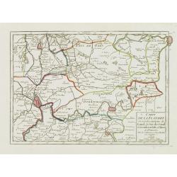
II. Carte du C.té de Haynaut où sont les environs de Halle, d'Enghien, de Braine le Comte.
Attractive small map encompassing part of Hainaut. It shows the towns of Enghien, Halle and Braine-le-Comte.From Atlas Portatif Universel, by Robert de Vaugondy.Unrecorde...
Date: Paris, after 1748
Selling price: ????
Please login to see price!
Sold in 2015
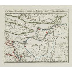
I. Carte du Brabant où sont les environs de Berg-op-zoom, de Tolen dans la Zélande. et de Willemstat dans la Hollande.
Nice small map centered on the western part of North Brabant. It shows Bergen op Zoom, Tholen, Willemstad, Klundert, etc.From Atlas Portatif Universel, by Robert de Vaugo...
Date: Paris, later than 1748
Selling price: ????
Please login to see price!
Sold in 2012
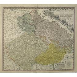
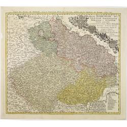
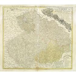
Regni Bohemiae, Duc. Silesiae, Marchionatuum Moraviae et Lusatiae. . .
Johann Baptist Homann's well-engraved map including the towns of Prague, Poznan/ Loda, Wroclaw, etc.Johann Baptist Homann (1663-1724) was a German engraver and publisher,...
Date: Nuremberg, 1748
Selling price: ????
Please login to see price!
Sold in 2013
Carte générale de l'empire de Russie.
According to the description panel in lower left : the map covers the Empire of Peter the Great.This important is based on maps from the Bering expedition and on De L'Isl...
Date: Amsterdam, ca.1748
Selling price: ????
Please login to see price!
Sold in 2009
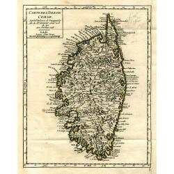
Carte de l'Isle de Corse.
Charming and very detailed map of Corsica. Shows towns, rivers, lakes, woods, mountains, bays, and islands.
Date: Paris, 1748
Selling price: ????
Please login to see price!
Sold in 2010
Regni Bohemiae, Duc. Silesiae, Marchionatuum Moraviae et Lusatiae. . .
Johann Baptist Homann's well-engraved map including the towns of Prague, Poznan/ Loda, Wroclaw, etc.Johann Baptist Homann (1663-1724) was a German engraver and publisher,...
Date: Nuremberg, 1748
Selling price: ????
Please login to see price!
Sold in 2010
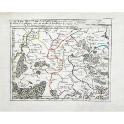
Carte du Duche de Luxembourg ou sont les Seign de Lompre, IV Mirwart et Villance, Partied u Duche de Bouillon, et les Consins du Lyegeois
Small scale map of region of the Duchy of Luxembourg, a former principality of the Holy Roman Empire, showing the region of southern Belgium by Robert de Vaugondy. Gilles...
Date: Paris, 1748
Selling price: ????
Please login to see price!
Sold in 2010
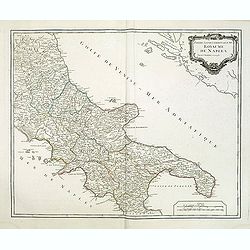
Partie septentrionale du Royaume de Naples.
Map of the southern part of Italy with Naples from his "Atlas Universel".Gilles Robert de Vaugondy (1688–1766), also known as Le Sieur or Monsieur Robert, and...
Date: Paris, 1748
Selling price: ????
Please login to see price!
Sold
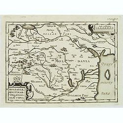
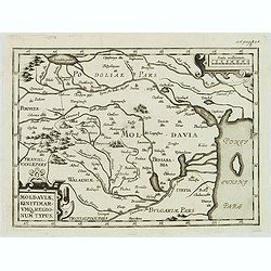
Moldaviae, finitimar umo regionum typus.
Uncommon map of Moldavia published in the second edition of Martinus Broniovius "Tartariae description ..." His work appeared first in 1595. The second edition ...
Date: Vienna, 1746-1748
Selling price: ????
Please login to see price!
Sold in 2012
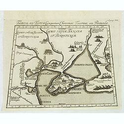
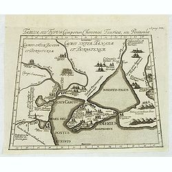
Tabula, seu Typus Camporum Chersonesi . . .
Rare map of part of the Ukraine and the Black Sea region, published in the second edition of Martinus Broniovius "Tartariae description ..."
Date: Vienna, 1746-1748
Selling price: ????
Please login to see price!
Sold in 2012
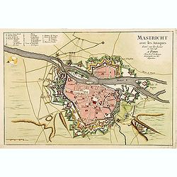
Mastricht avec les Attaques Leve sur les Lieux en Juin 1748. A Paris chez Le Sr. Le Rouge.
A rare separate published plan of Maastricht by G. L. le Rouge. Showing the fortified city with important buildings named. With a key from A to X, a mileage scale and a c...
Date: Paris, 1748
Selling price: ????
Please login to see price!
Sold
Tabula, seu Typus Camporum Chersonesi Tauricae, seu Peninsulae.
Rare map of part of the Ukraine and the Black Sea region, published in the second edition of Martinus Broniovius "Tartariae description ..." His work appeared f...
Date: Vienna, 1746-1748
Selling price: ????
Please login to see price!
Sold in 2013
Moldaviae, finitimar umo regionum typus.
Uncommon map of Moldavia published in the second edition of Martinus Broniovius "Tartariae description ..." His work appeared first in 1595. The second edition ...
Date: Vienna, 1746-1748
Selling price: ????
Please login to see price!
Sold
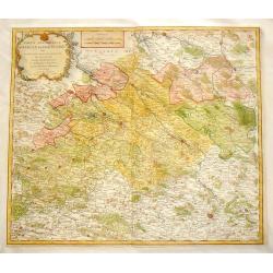
Partie Meridionale du Cercle de Haute Saxe.
Large detailed copper engraved map of the Duchies of Saxe & Meissen in Germany. Features cities such as Prague, Leipzig, Dresden, Berlin & Wittenberg.Johann Bapti...
Date: Nuremberg, 1748
Selling price: ????
Please login to see price!
Sold in 2013
Sir Richard Steele.
This ia a large finely engraved portrait of Sir Richard Steele, the private secretary to James. the 1st Duke of Ormonde. It was engraved by Houbraken from a painting by K...
Date: Amsterdam, 1748
Selling price: ????
Please login to see price!
Sold in 2016
Regni Bohemiae, Duc. Silesiae, Marchionatuum Moraviae et Lusatiae. . .
Johann Baptist Homann's well-engraved map including the towns of Prague, Poznan/ Loda, Wroclaw, etc.This example was printed from plate B (2nd of 3), which can be identif...
Date: Nuremberg, 1748
Selling price: ????
Please login to see price!
Sold in 2018
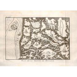
Plan de la Grotte de Kungur.
Interesting map of the Kungeron fortress in Krai Russia in the Ural Mountains. This is the site of the Kungur ice cave.Published in Prevost's "L'Histoire Generale de...
Date: The Hague, 1748
Selling price: ????
Please login to see price!
Sold in 2016
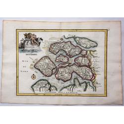
Zelande.
Hand colored copperplate map of the Dutch province of Zeeland by le Rouge from his “Atlas Nouveau Portatif “. Features cartouche of a putti holding a coat of arms and...
Date: Paris, 1748
Selling price: ????
Please login to see price!
Sold in 2017
La Basse Autriche.
Fine detailed map of lower Austria by Le Rouge. Features a cartouche depicting a battle between soldiers.George Louis Le Rouge was active from 1740- till 1780 as a publis...
Date: Paris, 1748
Selling price: ????
Please login to see price!
Sold in 2018
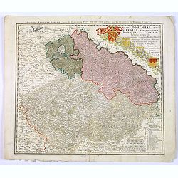
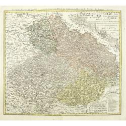
Regni Bohemiae, Duc. Silesiae, Marchionatuum Moraviae et Lusatiae. . .
Johann Baptist Homann's well-engraved map including the towns of Prague, Poznan/ Loda, Wroclaw, etc.Johann Baptist Homann (1663-1724) was a German engraver and publisher,...
Date: Nuremberg, 1748
Selling price: ????
Please login to see price!
Sold in 2018
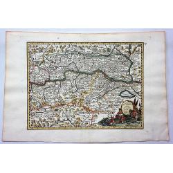
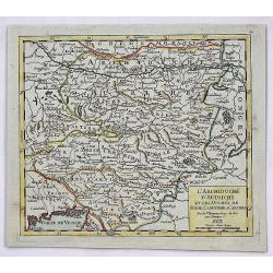
L'Archiduche D'Autriche et les Duches de Stirie, Cartinthie et Carniole.
A fine map of Inner Austria, or currently Austria, Slovenia and Hungary. This region referred to the Duchies and Habsburg hereditary lands. It was published in the 1748 e...
Date: Paris, 1748
Selling price: ????
Please login to see price!
Sold in 2017
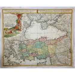
Carte de l'Asie Minevre. . .
A striking map centred on the Black Sea, and the geographical regions surrounding it. Map also shows Asia Minor, Crete, Cyprus, northern Syria, Iraq, Georgia, the Crimea,...
Date: Nuremburg, 1748
Selling price: ????
Please login to see price!
Sold in 2018
Regni Bohemiae, Duc. Silesiae, Marchionatuum Moraviae et Lusatiae. . .
Johann Baptist Homann's well-engraved map including the towns of Prague, Poznan/ Loda, Wroclaw, etc.Johann Baptist Homann (1663-1724) was a German engraver and publisher,...
Date: Nuremberg, 1748
Selling price: ????
Please login to see price!
Sold in 2020
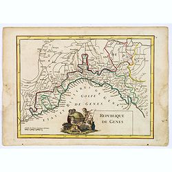
Republique de Genes.
A nice map of northwest Italy and the Gulf of Genoa, at left Nice and Monaco, there is a nice putti-scene in the sea, reflecting Genoese exploration and discovery around ...
Date: Paris, 1748
Selling price: ????
Please login to see price!
Sold in 2019
![[2 maps] Novissimum Silesiae Theatrum id est Exactissimus Superioris et Inferioris Silesiae.. (2 maps)](/uploads/cache/21439-250x250.jpg)
![[IV.] Carte du Brabant où se trouvét la Mairie de Santhoven.. Ryen.](/uploads/cache/24684-250x250.jpg)
![[VIII.] Carte du Brabant ou sont les env.s de Louvain, d'Ascot, de Diest de Leeuwe &c.](/uploads/cache/24688-250x250.jpg)
![[III]. Carte de l'Etât de Gênes où se trouvent la Principauté d'Oneille, les enviros d'Albinga, le Marquisat de Finale &c.](/uploads/cache/24546-250x250.jpg)
