Browse Listings in Asia > India > Sri Lanka (Ceylon)
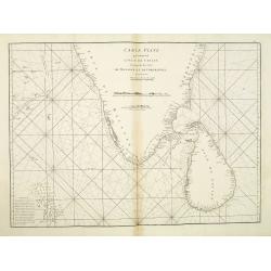
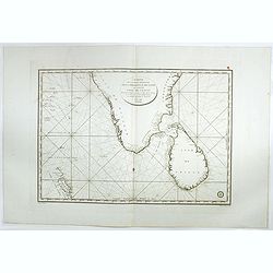
Carte Plate qui comprend L'Isle de Ceylan. . .
Chart showing the southern tip of India and Sri Lanka. Latitude and longitude scales, compass rose and system of rhumb lines, soundings near coast and in bay areas.D' Apr...
Place & Date: Paris, 1775
Selling price: $150
Sold in 2021
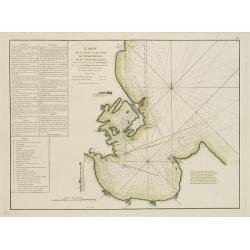
Carte de la Baye et du Port de Trinquemalay Dans L'Isle de Ceylan.
French chart of the harbour of Trinquemalay on the island of Ceylon. Prepared after Samuel Cornish who was a vice admiral for the English East India company.Latitude and ...
Place & Date: Paris, ca 1775
Selling price: $325
Sold
[Untitled] Sea chart of Ceylon and Southern India.
A scarce separately published English Sea Chart of the south coast of India, the island of Ceylon, with inset maps of Gula Bay (Galle) Sri Lanka, Tutocarine Bay (Tuticori...
Place & Date: London, 1779
Selling price: $205
Sold in 2019
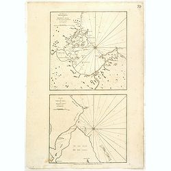
The Bay of Tricoenmale or Trinkili-Male, on the East Coast of Ceylon. (together with) Plan of Venlos Bay, on the East Coast of Ceylon.
Nautical chart of the Tricoenmale or Trinkili-Male (Trincomalee) Bay and the Venlos (Vandelous) Bay on the east coast of Sri Lanka or Ceylon.Two charts on a single sheet,...
Place & Date: London, 1794
Selling price: $250
Sold in 2016
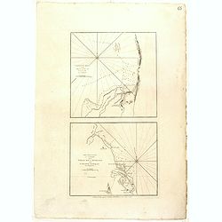
Calpentyn Road, on the West Coast of Ceylon. The East Coast of Ceylon, from Venlos Bay to Batecalo, with the Banks, Rocks, Soundings & ca.
Two nautical charts on one sheets, originally prepared by the Dutch publisher Van Keulen. The upper chart of Calpentyn Road, on the West Coast of Ceylon. (255x257mm.)The ...
Place & Date: London, 1794
Selling price: $200
Sold in 2020
Carte de la partie Méridionale dela presque'isle de L'Inde qui comprend L'Isle de Ceylan. . . 1798.
Large focused on southern part of India and Sri Lanka. Showing villages, banks, isles and soundings made in meters.Chart was prepared by Vice Admiral Rosili and publishe...
Place & Date: Paris, after 1798
Selling price: $300
Sold in 2017
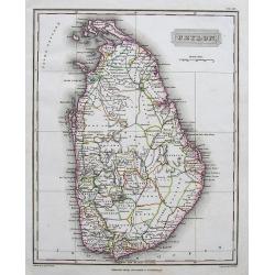
Ceylon.
A fine and richly detailed map of Sri Lanka. With numerous place names. Drawn by A. Arrowsmith, engraved by Sidney Hall, and published by Archibald Constable & Co., i...
Place & Date: Edinburgh, 1823
Selling price: $30
Sold in 2017
[Manuscript map without title] Map of the east Indian coast with Sri Lanka showing The Cousins Voyage 1831.
Manuscript map of the Indian coast with Ceylon (Sri Lanka) with the track of the vessel "Le Cousin" from Calcutta to Pondicherry and the retour voyage from Madr...
Place & Date: Perhaps India, ca. 1831
Selling price: $400
Sold in 2014
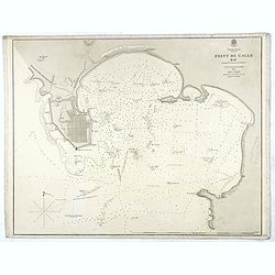
Indian Ocean Ceylon - Point de Galle Bay.
Showing the bay of Galle, surveyed by Mr TH Twynham Master Attendent at Pt de Galle. Also with surveys by Sir. Edward Belcher, and Alexander Dalrymple, first hydrographer...
Place & Date: London, 1858
Selling price: $130
Sold
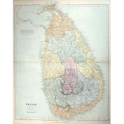
CEYLON
A fine detailed map of Ceylon with the provinces colored in separate tints. The districts are separated by narrow red lines and their names underlined in red A railway ru...
Place & Date: London, 1887
Selling price: $50
Sold in 2014
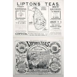
Map of Ceylon shewing Lipton's Tea Estates.
Two Adverts for Lipton's Tea the first one has a map of Ceylon showing their estates on the Island set in advertising text dated December 25th 1897, The second is an adve...
Place & Date: London, 1897
Selling price: $70
Sold in 2014
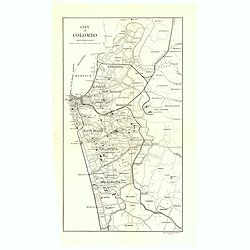
City of Colombo.
A uncommon issue of this detailed map of Colombo.The Department of Survey of Sri Lanka (also known as the Department of the Surveyor General) is a non-ministerial governm...
Place & Date: Colombo, 1925
Selling price: $50
Sold in 2019
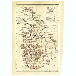
Ceylon.
A uncommon issue of this detailed map of Ceylon. Notes roads, railways, towns, rivers, lakes, and a host of other topographical features. Scale of 24 miles to an inch. Th...
Place & Date: Colombo, 1925
Selling price: $60
Sold in 2019
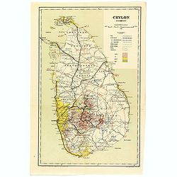
Ceylon.
A uncommon issue of this detailed map of Ceylon. The map covers the entire island and is color coded according to provinces. Notes roads, railways, towns, rivers, lakes, ...
Place & Date: Colombo, 1925
Selling price: $35
Sold in 2022
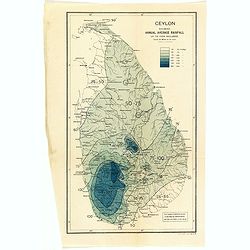
Ceylon showing annual average rainfall up to 1926 inclusive.
A uncommon issue of this detailed map of Ceylon showing the annual average rainfall in a scale of 24 miles to an inch. The Department of Survey of Sri Lanka (also known a...
Place & Date: Colombo, 1926
Selling price: $35
Sold in 2022
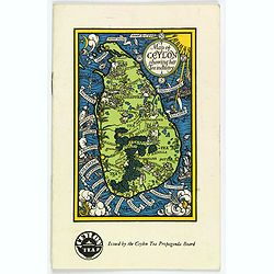
Map of Ceylon showing her Tea Industry.
A delightful little brochure highlighting the Ceylonese tea industry, issued by the Ceylon Tea Propaganda Board in the mid 1930s. It features a lovely map of the island o...
Place & Date: Ceylon, ca 1934
Selling price: $150
Sold in 2020
![[Untitled] Sea chart of Ceylon and Southern India.](/uploads/cache/44286-250x250.jpg)
![[Manuscript map without title] Map of the east Indian coast with Sri Lanka showing The Cousins Voyage 1831.](/uploads/cache/34583-250x250.jpg)
