Browse Listings in East Meets West > India
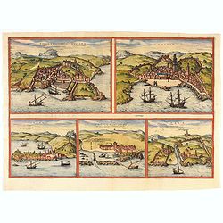
Tingis, Lusitanis, Tangiara. / Tzaffin. / Septa. / Arzilla/ Sala.
Views of the five northern and western African coastal town-view on one sheet: Latin text.From the greatest publication in this genre!. The Civitates was compiled and wri...
- $600 / ≈ €504
Date: Cologne, 1580
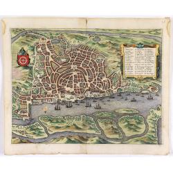
Goa.
A finely engraved, detailed town-plan of Goa, the main Portuguese trading post in India. It also appeared in Gottfried’s Archontologia (1649). There is a cartouche iden...
Date: Frankfurt, 1680
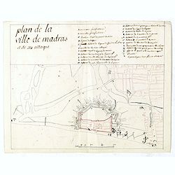
Plan de la ville de Madras et de ses attaques.
Manuscript map, in black, brown and red ink, showing the fortifications of the city of Madras, now Chennai, on the east coast of India, north of Pondicherry.Showing the c...
- $2000 / ≈ €1679
Date: Paris, ca 1760
Plan de Gingy, ville et forteresse d'Asie . . . [An Early Manuscript Map of Pondicherry Prior To Its Reconstruction After The Seven Years War.]
An early manuscript map of Gingy shortly after The Seven Years War, when the French took possession of large part of India.With an extensive key to the left.Gingee Fort o...
- $1500 / ≈ €1260
Date: Paris, 1765
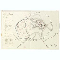
Plan de Thiagar, prise par l'arméé française en 1759.
An early manuscript map of Thiagar. With an extensive unfinished key to the left. The map was drawn shortly after the end of the Seven Years War, when the French took pos...
- $750 / ≈ €630
Date: Paris, 1769
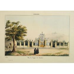
Pondichery - Vue de l'Eglise des Jésuites.
Lithography representing a view of a church belonging to the Jesuit order. Plate N° 11.From Souvenirs d'un voyage dans l'Inde, exécuté de 1834 à 1839, by A. Delessert...
- $300 / ≈ €252
Date: Paris, 1843
![Plan de Gingy, ville et forteresse d'Asie . . . [An Early Manuscript Map of Pondicherry Prior To Its Reconstruction After The Seven Years War.]](/uploads/cache/43006-250x250.jpg)
