Browse Listings in Europe > Eastern Europe
![Mer Adriatique. Côte Orientale. De l'Ile Meleda à Antivari.. [3552]](/uploads/cache/23471-250x250.jpg)
Mer Adriatique. Côte Orientale. De l'Ile Meleda à Antivari.. [3552]
This large scale coastal chart shows the stretch of Dalmatian coast between the island Mljet in Croatia as far as Ulcinj (Montenegro). With latitude and longitude scales,...
- $200 / ≈ €170
Date: Paris [1877] corrected to 1934
![Mer Adriatique. Partie Sud.. [3976]](/uploads/cache/23549-250x250.jpg)
Mer Adriatique. Partie Sud.. [3976]
This large scale coastal chart centered on the southern part of the Adriatic sea. Showing the Dalmatian coast between Split in Croatia as far as the northernmost tip of C...
- $200 / ≈ €170
Date: Paris [1883] updated for 1935
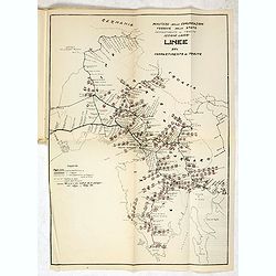
MEMORANDUM Vlade Demokratske Federativne Jugoslavije po pitanju Juliske Krajine i drugih jugoslavenskih teritorija pod Italijom.
Memorandum of the government of the Democratic Federative Yugoslavia concerning the questions of the Jilian March and other Yugoslav territories under Italy.Julian March ...
- $300 / ≈ €254
Date: London, 1946

