Browse Listings in Map Types
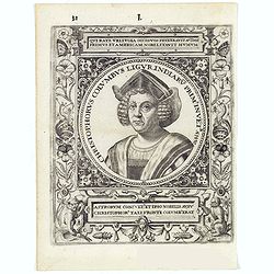
Christophorus Columus Ligur Indiarum Prim invet A°1492
Very decorative portrait of Christopher Columbus (c. 31 October 1451 – 20 May 1506), engraved by Theodor de Bry (1528-1593) and published in Jean Jacques Boissard, &quo...
Place & Date: Frankfurt a.M. 1597 - 1599
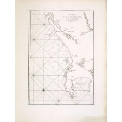
Plan du Cap de Bonne-Esperance et ses environs..
Large and detailed sea chart of the Cape of Good Hope from Saldahna Bay to False Bay.Engraved by Guillaume-Nicolas Delahaye (1727-1802).Latitude and longitude scales, com...
Place & Date: Paris, 1745
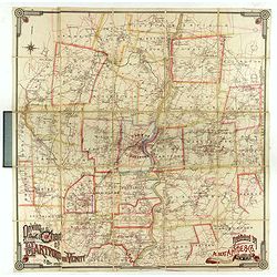
Driving chart of Hartford and vicinity : 15 miles around.
Road map by Albert A. Hyde & Co. of Hartford and vicinity, with the Connecticut River in the center. Published by Albert A. Hyde & Co., in New York and lithograph...
Place & Date: New York / Philadelphia, 1884
[Portrait] Johannes Baptista Homann . . .
Stunning full portrait of the Imperial Geographer of the Holy Roman Empire, Johann Baptist Homann (1664-1724) who was born in the Bavarian town of Kammlach. Educated at a...
Place & Date: Nuremberg, c.1740
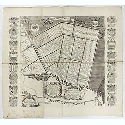
Chaerte vande Wieringer waert, de welcke inden jaere XVI… (Wieringerwaard)
Rare wall map of the Wieringerwaard polder, as raffled on 12 July 1611. The polder was laid dry in 1610. It border, and also the border of the municipality, were the Zuid...
Place & Date: 1741-1744
Jules Verne Le Tour du Monde en 80 jours. [Goose game board inspired by Jules Verne's novel Tour du Monde en 80 jours.]
Goose game board inspired by Jules Verne's novel, whose boxes are illustrated with color lithographs and the center occupied by a world map. Vignette illustrations number...
Place & Date: Paris, ca. 1880
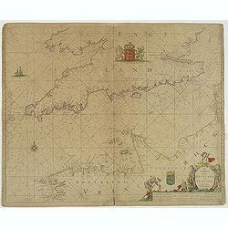
Het Canaal tusschen Engeland en Vranciick.
An eye-catching chart of the Channel.Pieter Goos (ca. 1616-1675) was one of the most important cartographers, engravers, publishers and print sellers of Amsterdam. His wi...
Place & Date: Amsterdam, after 1666
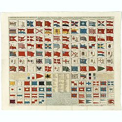
Carte des pavillons accompagnée d'observations pour en faire comprendre le blazon et les différentes devises aussy bien que d'une table alphabétique pour les trouver facilement.?
Map of 88 marine flags, including Malta, Turkey, Middelburg, Amsterdam, Portugal, Monaco, Tuscany, China, Nanking, the French Royal flag, French admiralty flag and mercha...
Place & Date: Amsterdam, 1720
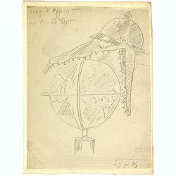
Trop d'Appetit par A. Le Petit.
Dated in lower right dated "Le 9 juin 1875". The drawing is representing an alligator's jaw wearing a Prussian helmet, and about to chew a globe. Alfred Le Peti...
Place & Date: Paris, 1875
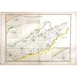
Carte de la Mer Rouge, depuis Moka jusqu's Gedda. . . .
Chart of the Red Sea. With 3 inset maps of Shake Omare, Goofs and Gedan. D'Après De Mannevillette (1707-1780) was one of France's first hydrographers. When the first edi...
Place & Date: Paris, 1753
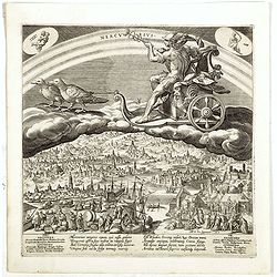
Mercurius.
Mercury holding a caduceus and riding in a chariot drawn by two birds on the clouds in the sky, an extensive landscape with a harbor with goods being loaded and unloaded ...
Place & Date: Antwerp, 1585
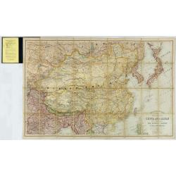
Standford's map of the empires of China and Japan with the adjacent parts of the Russian Empire, India, Burma &c.
Charming, folding map of China and Japan with the adjacent parts of the Russian Empire, India, and Burma. A key identifies railway lines in red, projected railway lines i...
Place & Date: London, ca. 1911
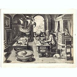
Lapis polaris magnes.
This is a plate from a series of twenty prints illustrating new inventions and discoveries (Nova Reperta) after Jan van der Straet. On image, bottom right: 'Ion. Stradanu...
Place & Date: Antwerp, Philips Galle, c. 1590
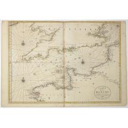
Carte de la Manche. . .
Decorative chart showing the Chanel, with the coastline of France from La Baie de Douarnenez to Dunkerque, and the coastline of England from Stroble head to Manning Tree....
Place & Date: Amsterdam, 1692
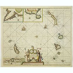
Nieuwe Pascaert van al de Carnarisse Eylanden. . .
So-called "Blue-back" sea- charts of the Canary Islands.Latitude scale, compass rose and system of rhumb lines, soundings, anchorage's, etc. A wealth of cities ...
Place & Date: Amsterdam, 1700
[Planisphère] - Crédit Lyonnais - Fondé en 1863. Afrique du Nord à Union Française.
Original pictorial lithographed advertising poster showing the western part of Africa. Published by the French bank Crédit Lyonnais.Design by Lucien_Boucher who is a fam...
Place & Date: Paris, 1950
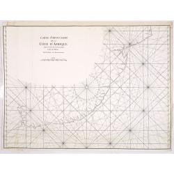
Carte particulière de la côte d'Afrique depuis le cap des Courans jusqu'à la baye de Ste Hélène. . .
Large and detailed sea chart of South Africa.Engraved by Guillaume-Nicolas Delahaye (1727-1802).Latitude and longitude scales, compass rose and system of rhumb lines, sou...
Place & Date: Paris, 1745
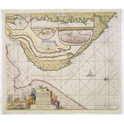
.Paskaart van de Mont van de Witte Zee,. Beginnende van Tiepena tot Pelitza, als mede van C. Cindenoes tot Catsnoes.
Fine sea chart of the southern part of the Barents Sea, oriented to the West. With five inset maps: - Swetenoes, de Kust van Laplandt, Lombascho, 'T Vaste Landt van Lapla...
Place & Date: Amsterdam, c.1710
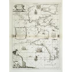
Citta, porto, e rada di Brest, e . . . Nella Bretagna . . .
A beautiful and rare map of Bretagne. In top right an inset with the town of Brest.The remarkable Vincenzo Coronelli (1650-1718), encyclopaedist, geographer, inventor and...
Place & Date: Venice, 1690
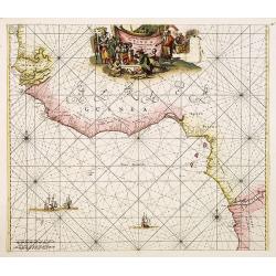
Tractus Littorales Guineae a Promontorio Verde usque ad sinum Catenbelae.
Chart of the West coast of Africa from Mauritania up to Angola. In top centre a very decorative title cartouche.
Place & Date: Amsterdam, 1675
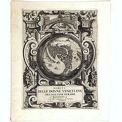
Habiti delle Donne Venetiane . . .
Title page of the book Habiti delle Donne Venetiane" (Dress of Venetian Women) which consists of twenty numbered plates of ornately dressed women. This very decorati...
Place & Date: Venice, ca. 1591
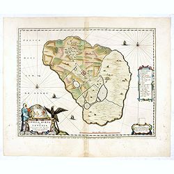
Insula Huaena sive Venusia a Guiljelmo Blaeu cum sub Tychone Astronomiae operam daret, delineata.
Decorative map of the island Hvan in the Danish Sound. In the center Tycho Brahe's famous observatory Uraniborg established in 1576, under the patronage of Frederick II, ...
Place & Date: Amsterdam, 1659
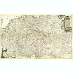
Deutschlands Postkarte begraenzt von Oesterreich, Preussen, Frankreich, Holland, Italien und der Schweiz. . .
Detailed and important post road map prepared by Ignaz Heymann. The map shows, the Low Countries, Germany, Poland, Austria, Hungary, etc.Borders in original out-line colo...
Place & Date: Triest, 1800
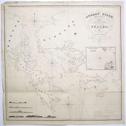
Straat Riouw onder opzicht van de commissie tot verbetering der Indische Zeekaarten..
Very large and rare so-called Blue Back centered on the strait passing between the Riau Islands. It contains an inset map with enlarged details of Riouw Harbor on Bintang...
Place & Date: Amsterdam 1843
Bressia vulgo Bresse. [colored by Van Santen]
Title cartouche with putti and surveyor with surveying instruments. Upper right-hand corner Geneva, lower left Lyon and in the center Bourg-en Bresse. Upper right-hand co...
Place & Date: Amsterdam, 1650
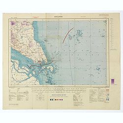
Singapore.
Chart of Southern part of Malaysian peninsular showing good detail on of Singapore. Map with legend and scale.
Place & Date: London, 1944
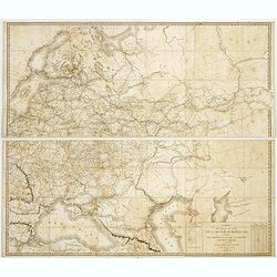
Carte des routes de poste de la Russie européenne, exécutée par ordre de S.E.M. le duc de Feltre ministre de la Guerre, ...
Post-route map on a scale of 1:2 500 000 made during the French campaign in Russia, which began June 24, 1812. With a table of the conventional signs and a table of conve...
Place & Date: Paris, Dépôt Général de la Guerre 1812
A chart of the China Sea inscribed to Monsr. D'APRES de MANNEVILLETTE .. To A.Dalrymple.
Most important milestone chart is based upon the surveys made from navigational surveys by Alexander Dalrymple (1737-1808]. He was the first hydrographer of the British A...
Place & Date: Paris, ca 1775
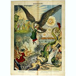
Excelsiori (Rana N. 28 - Cent. 20).
"After so many wars and so many troubles, young Russia, in a more serene glaze all the beautiful sun of freedom you will enjoy ... ". Fascinating allegorical sa...
Place & Date: Bologna, 1905
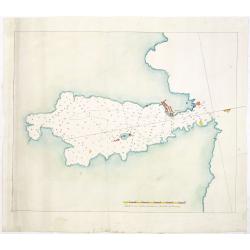
Manuscript plan of Havana harbour.
Manuscript chart with good nautical detail and soundings of Havana harbour.
Place & Date: Spain c.1820
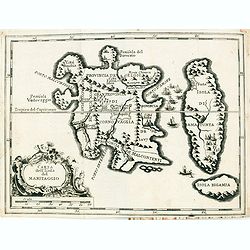
Carta Topografica dell' Isola Del Maritaggio di Monsieur le Boble per la prima volta. Tradotta dal francese in italiano.
Second Italian printing of Eustache Le Noble’s "Carte de l’isle de marriage." The book’s text offers instructions on how to reach this matrimonial island ...
Place & Date: Cosmopoli, 1766
[Lot of 4 charts] Plan de la Baie et du Port de Camraigne / Plan de la Baie de Niatrang et du Golfe de Binkang / Plan de la Cote de Cochinchine. . . / Plan des Ports de Xuandai, Vung-Lam. . .
[A set of four French sea charts numbered consecutively]. A set of 4 basic coastal sea charts of parts of southern French Indochina (Vietnam).Chart 295 centers on the reg...
Place & Date: Paris ca 1780
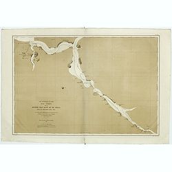
CARTE de la Côte Occidentale de COREE, Plan Croquis de la Rivière HAN-KANG ou de SEOUL, depuis son Embouchure jusqu'à Séoul, dressée en 1866 ...
Uncommon chart of the Han-Kang River from its mouth to Seoul, prepared in 1866 by order of C.A. ROZE, Commander-in-Chief of the French " la Station des Mers de Chine...
Place & Date: Paris, 1868
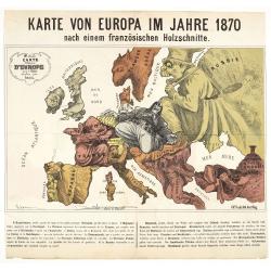
Karte von Europa im Jahre 1870 nach einem französischen Holzschnitte.
Satirical illustration by Paul Hadol showing disposition of power in Europe at the beginning of 1870. Satirical print depicting a map of Europe in which the countries are...
Place & Date: Hamburg, Fuchs, 1914
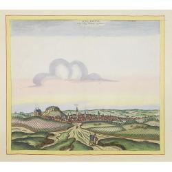
Schlanium vulgo Schlani Bohemiae oppidum.
Very decorative and rare panoramic town view of Schlan, Schlanium s. Slany.The engraver and publisher of prints, Mrs. Anna Beek of the Hague, enlarged this print, origina...
Place & Date: The Hague, 1700
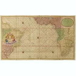
Nieuwe Wassende Graadige Pas-kaart van de Kust van Guinea en Brasilia.
Rare two-sheet sea chart of the coasts of Brazil, West Africa and South Africa, published by Johannes Van Keulen (the younger), circa 1720.The chart shows the western coa...
Place & Date: Amsterdam, 1751
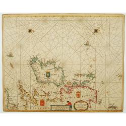
.Paskaarte om Achter Yrlandt om te Zeylen van Hitlant tot. . .
An eye-catching chart of Ireland, including the north of England and Scotland, with the West to the top.Pieter Goos (ca. 1616-1675) was one of the most important cartogra...
Place & Date: Amsterdam, 1673
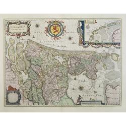
Hollandia Comitatus.
Orientated west to the top of the sheet, this presents the County of Holland in the classical orientation for seventeenth-century maps, with Amsterdam at the center. The ...
Place & Date: Amsterdam, 1660
The Coast of New Found Land From Salmon Cove to Cape Bonavista. . . [together with] The Coast of New Found Land from Cape-Raze to Cape St-Francis.
Two charts showing the coast of New Found Land from Salmon Cove to Cape Bonavista and from Cape-Raze to Cape St-Francis. With inset chart of Trinity HarborGrierson publis...
Place & Date: Dublin, 1767
North Pacific.
Huge three sheet so-called Blue-back sailing chart of the Northern Pacific including China, Korea (with Matu Is. and Liancourt), Japan, Philippines, Kamchatka, Hawaii, Al...
Place & Date: London, 1868
![[Portrait] Johannes Baptista Homann . . .](/uploads/cache/36599-250x250.jpg)
![Jules Verne Le Tour du Monde en 80 jours. [Goose game board inspired by Jules Verne's novel Tour du Monde en 80 jours.]](/uploads/cache/44919-250x250.jpg)
![[Planisphère] - Crédit Lyonnais - Fondé en 1863. Afrique du Nord à Union Française.](/uploads/cache/44865-250x250.jpg)
![Bressia vulgo Bresse. [colored by Van Santen]](/uploads/cache/29235-250x250.jpg)

![[Lot of 4 charts] Plan de la Baie et du Port de Camraigne / Plan de la Baie de Niatrang et du Golfe de Binkang / Plan de la Cote de Cochinchine. . . / Plan des Ports de Xuandai, Vung-Lam. . .](/uploads/cache/44795A-250x250.jpg)
![The Coast of New Found Land From Salmon Cove to Cape Bonavista. . . [together with] The Coast of New Found Land from Cape-Raze to Cape St-Francis.](/uploads/cache/40658-250x250.jpg)
