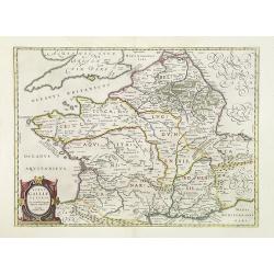
Typus Galliae Veteris, Ex conatib' Geograph. Abrah.Ortelii.
A very decorative map with countries of ancient France prepared by Abraham Ortelius and published by one of the most famous map publishers, Willem Blaeu.
Place & Date: Amsterdam, 1645
A very decorative map with countries of ancient France prepared by Abraham Ortelius and published by one of the most famous map publishers, Willem Blaeu.
Rare issue of Cornelis Danckert's attractive map of Limburg, shows the area of Cologne, Mainz, Trier, Jülich, Mons, Antwerp and Liege in Belgium.Decorative title cartouc...
This powerful image shows US President Franklin D. Roosevelt and UK Prime Minister Winston Churchill in a tug-of-war over Africa. This original war poster was created by ...
First edition of this rare and important map of Pennsylvania and New Jersey by H.S. Tanner and published in his "New American Atlas" from 1823. Includes roads, ...
This is Blaeu’s first map of the Danube and surrounding regions. The Danube River runs through the map from the top left with its headwaters in the German Black Forest ...