Browse Listings
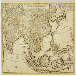
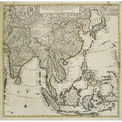
Carte des Indes et de la Chine Dressée..
Large and attractive map of the East Indes, India and China.The map is from a Dutch edition of De L'Isle's work entitled, Atlas Nouveau, Contenant Toutes Les Parties Du M...
Date: Amsterdam c. 1745
Selling price: ????
Please login to see price!
Sold
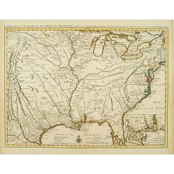
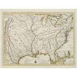
Carte de la Louisiane et du Cours du Mississipi Dressée sur un grand nombre de Memoires..
Covens & Mortier's issue of Delisle's influential map of the French possession of Louisiana. Updated to include New Orleans. When originally published in 1718, it was...
Date: Amsterdam c. 1745
Selling price: ????
Please login to see price!
Sold
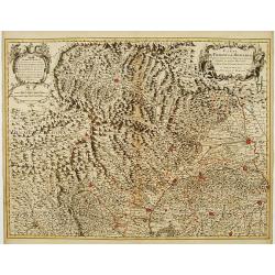
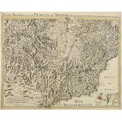
Carte du Piemont et du Monferrat Dressée sur plusieurs Cartes..
Large, detailed map of Valle d'Aosta and most part of Piedmont. Includes illustrated topography with notations about towns, roads, passes, mountains, etc. Relief shown pi...
Date: Amsterdam, c. 1745
Selling price: ????
Please login to see price!
Sold in 2008
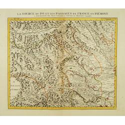
La Source du Po, et les passages de France en Piémont.
First of 5 detailed maps illustrating the flow of the river Po, in northern Italy, this maps depicts the mountainous area at the border between Italy and France. Relief s...
Date: Amsterdam c. 1745
Selling price: ????
Please login to see price!
Sold
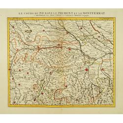
Le Cours du Po dans le Piemont et le Montferrat.
Second of 5 detailed maps illustrating the flow of the river Po, in northern Italy, this maps depicts the stretch of river flowing through the Piedmont and the Monferrato...
Date: Amsterdam c. 1745
Selling price: ????
Please login to see price!
Sold
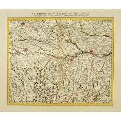
Le Cours du Po dans le Milanez.
Third of 5 detailed maps illustrating the flow of the river Po, in northern Italy, this maps depicts the stretch of river marking the natural border between Lombardy and ...
Date: Amsterdam c. 1745
Selling price: ????
Please login to see price!
Sold
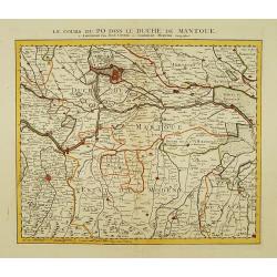
Le Cours du Po dans le Duche de Mantoue.
Fourth of 5 detailed maps illustrating the flow of the river Po, in northern Italy, this maps depicts the stretch of river flowing through the province of Mantua as far a...
Date: Amsterdam c. 1745
Selling price: ????
Please login to see price!
Sold
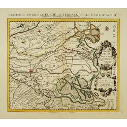
Le Cours du Po dans le Duché de Ferrare et les Etats de Venise..
Last of 5 detailed maps illustrating the flow of the river Po, in northern Italy, this maps depicts the last stretch of river from Ravalle as far as its delta into the Ad...
Date: Amsterdam c. 1745
Selling price: ????
Please login to see price!
Sold
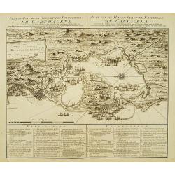
Plan du Port de la Ville et des Forteresses de Carthagène..
Highly decorative plan of the bay and fortifications of Cartagena in Colombia during the siege by the British fleet. Table of explanations in French and Dutch below. Nort...
Date: Amsterdam c. 1745
Selling price: ????
Please login to see price!
Sold
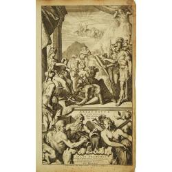
Atlas Novus ad Usum Serenissimi Burgundiae Ducis.
Title page of the homonymous atlas by Iean Covens and Corneille Mortier. Blank verso. Soldiers, savages and other individuals are shown approaching a queen seated on her ...
Date: Amsterdam c. 1745
Selling price: ????
Please login to see price!
Sold
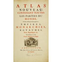
Title page: Atlas nouveau, contenant toutes les parties du monde..
In lower part title page a decorative copper engraving "Socio ditata Labore" (80x120mm), made by J. Wandelaar.The map is from a Dutch edition of De L'Isle's wor...
Date: Amsterdam c. 1745
Selling price: ????
Please login to see price!
Sold
Partie Orientale du Cercle de Francofonie dressée sur les Mémoires..
Large, detailed map of Eastern Franconia. Includes illustrated topography with notations about towns, roads, fortresses, abbeys and monasteries, etc. Relief is shown pict...
Date: Amsterdam c. 1745
Selling price: ????
Please login to see price!
Sold in 2023
L'Electorat de Mayence, le Bas Palatinat et une Partie du Pays de Hesse..
Large, detailed map of Rhenish Franconia. Includes illustrated topography with notations about towns, roads, fortresses, abbeys and monasteries, etc. Relief shown pictori...
Date: Amsterdam c. 1745
Selling price: ????
Please login to see price!
Sold in 2009
Carte du Comté du Brabant, Dressée sur plusieurs Cartes particulières..
Map of the old Duchy of Brabant, which covers parts of the Netherlands and Belgium largely between the Meuse or Maas River and the North Sea. Highly detailed with depicti...
Date: Amsterdam c. 1745
Selling price: ????
Please login to see price!
Sold
Carte des Provinces Unies des Pays Bas..
Very fine large decorative early 18th century engraved folio sheet map of the Netherlands with original outline hand color. Highly detailed with depictions of topography...
Date: Amsterdam c. 1745
Selling price: ????
Please login to see price!
Sold
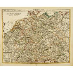
Carte exacte des Postes et Routes de l' Empire d' Allemagne divisee en ses Cercles..
Richly engraved and highly detailed map showing the postal routes and roads in Germany, Bohemia, Austria and Switzerland. Much additional information including topography...
Date: Amsterdam c. 1745
Selling price: ????
Please login to see price!
Sold
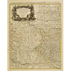
Le Gouvernement General de Languedoc Divisé..
Detailed map of the Southwest of France centred on Toulouse. The map is densely engraved with information with particular emphasis on the fortified cities, which are coll...
Date: Amsterdam c. 1745
Selling price: ????
Please login to see price!
Sold
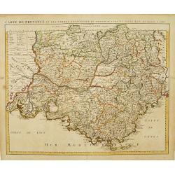
Carte de Provence et des Terres Adjacentes.
Topographically detailed map of the region of Provence in south-eastern France. Relief shown pictorially.The map is from a Dutch edition of De L'Isle's work entitled, Atl...
Date: Amsterdam c. 1745
Selling price: ????
Please login to see price!
Sold
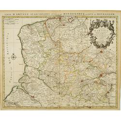
Carte D'Artois ET Des Environs..
Topographically detailed regional map of the Artois region in northern France. The map extends from Dunkirk and Abeville in the West to Doui, Cambrai and Lille in the Eas...
Date: Amsterdam c. 1745
Selling price: ????
Please login to see price!
Sold
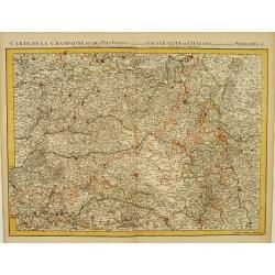
Carte De La Champagne et des Pays Voisins.. Chalons.. Soissons &c.
Very detailed, topographical map of Champagne and surrounding regions of Chalons and Soissons, Reims, Vedun, Mouzon, Sean, Charlemont, etc. Showing fortified cities, road...
Date: Amsterdam c. 1745
Selling price: ????
Please login to see price!
Sold
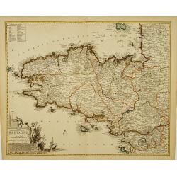
Duché et gouvernement General de Bretagne Divisé..
Highly detailed map of Brittany, in north-western France. Beautifully engraved with a decorative title cartouche depicting Poseidon and Hermes, a compass rose and table o...
Date: Amsterdam c. 1745
Selling price: ????
Please login to see price!
Sold
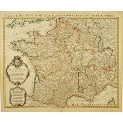
Carte De France Dressée pour l'usage du Roy..
Beautifully engraved, detailed general map of France, illustrating towns, roads, rivers, forests, etc. Embellished by 2 decorative cartouches: a title cartouche surmounte...
Date: Amsterdam c. 1745
Selling price: ????
Please login to see price!
Sold
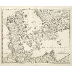
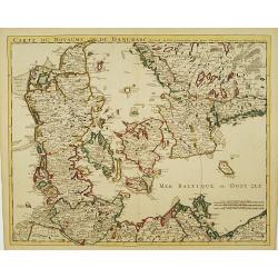
Carte Du Royaume De Danemarc..
Beautifully engraved, highly decorative map showing all of Denmark and southern Sweden, extending north to Warberg.The map is from a Dutch edition of De L'Isle's work ent...
Date: Amsterdam c. 1745
Selling price: ????
Please login to see price!
Sold
Cartes Des Courones Du Nord Qui Comprend les Royaumes de Danemark, Suede & Nowege, &c.. [and] Seconde Carte des Courones du Nord..
Large, highly detailed two sheet map of Scandinavia. Beautifully engraved with a decorative title cartouche and 2 compass roses.Shows illustrated topography with roads, r...
Date: Amsterdam, c. 1745
Selling price: ????
Please login to see price!
Sold in 2009
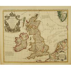
Les Isles Britanniques ou sont le Royaumes d'Angleterre.. d'Ecosse.. d'Irlande..
Beautifully engraved, decorative map of the British Isles. Detailed to show towns, roads, rivers, lakes, counties, etc. Embellished with a decorative distance scale and a...
Date: Amsterdam c. 1745
Selling price: ????
Please login to see price!
Sold
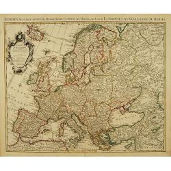
Carte d'Europe Dressée pour l'Usage du ROY..
Beautifully engraved map of Europe. Detailed to show towns, roads, rivers, lakes, counties, etc. Embellished with a decorative title cartouche surmounted by the French cr...
Date: Amsterdam c. 1745
Selling price: ????
Please login to see price!
Sold
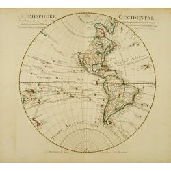
Hemisphere occidental Dresse en 1720..
Beautifully engraved, large map of the Western Hemisphere. Navigators' tracks and many south Pacific islands shown, less details in north Pacific. New Zealand is shown wi...
Date: Amsterdam c. 1745
Selling price: ????
Please login to see price!
Sold
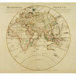
Hemisphere oriental Dressé en 1720..
Beautifully engraved, large map of the Eastern Hemisphere. Shows the tracks of the voyages of Halley and Abel Tasman.The map is from a Dutch edition of De L'Isle's work e...
Date: Amsterdam, c. 1745
Selling price: ????
Please login to see price!
Sold
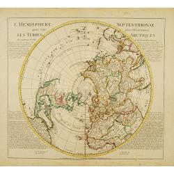
L'Hemisphere Septentrional pour voir plus distinctement les Terres Arctiques.
Decorative map depicting from the northern pole to the Equator with good detail, and showing all the political divisions. California is correctly shown as a peninsula wit...
Date: Amsterdam, c. 1745
Selling price: ????
Please login to see price!
Sold
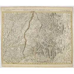
Le Cours du Rhin au dessus de Strasbourg et les Païs Adjacens.
Large, detailed map illustrating part of the flow of the river Rhine. It particularly depicts the stretch of river marking the natural border between Switzerland, France ...
Date: Amsterdam c. 1745
Selling price: ????
Please login to see price!
Sold in 2016
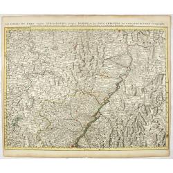
Le Cours du Rhin depuis Strasbourg jusqu'à Worms et les Païs Adjacens.
Large, detailed map illustrating part of the flow of the river Rhine. It particularly depicts the stretch of river from Strasbourg in the South as far as Worms in the Nor...
Date: Amsterdam c. 1745
Selling price: ????
Please login to see price!
Sold in 2021
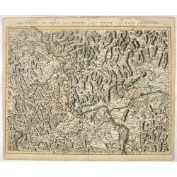
Le Cours du Rhin depuis Worms jusqu'à Bonne, et les Païs Adjacens.
Large, detailed map illustrating part of the flow of the river Rhine. It particularly depicts the stretch of river from Worms in the South as far as Bonn in the North Wes...
Date: Amsterdam c. 1745
Selling price: ????
Please login to see price!
Sold in 2021
Carte du Bourdelois du Perigord.. [and] Carte Du Bearn de La Bigorre de L'Armagnac.. (2 sheets)
Large, detailed map of South-western France, encompassing the Aquitaine région (first sheet) and extending to the Spanish Border and Toulouse (second sheet).The map is f...
Date: Amsterdam c. 1745
Selling price: ????
Please login to see price!
Sold
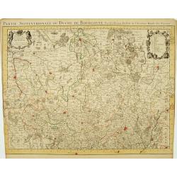
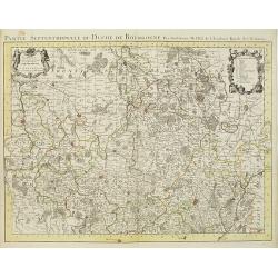
Partie Septentrionale du Duche de Bourgogne..
Large, detailed map of northern Burgundy, covering the region from Bar-sur-Seine in the North to Dijon and Auxonne in the South East. Shows illustrated topography with ma...
Date: Amsterdam c. 1745
Selling price: ????
Please login to see price!
Sold
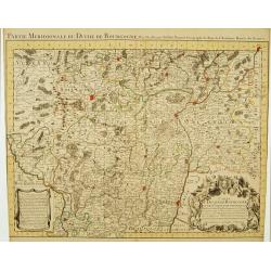
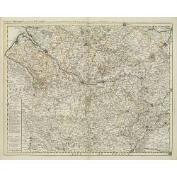
Partie Meridionale du Duche de Bourgogne..
Large, detailed map of northern Burgundy, covering the region from Autun and Dole in the North to Charolles and Mâcon in the South. Shows illustrated topography with man...
Date: Amsterdam c. 1745
Selling price: ????
Please login to see price!
Sold
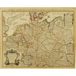
L' Allemagne, Dressee sur les Observations de Tycho-Brahe, de Kepler, de Snellius, sur celles de Messieurs de l' Academie Royale des Sciences &c..
Large, highly detailed map of Germany, including the Netherlands and Belgium. Based on the geography of Nicolas Sanson and Guillaume Delisle, and the observations of Tych...
Date: Amsterdam c. 1745
Selling price: ????
Please login to see price!
Sold
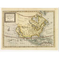
A new map of North America according to the newest observations..
A very fine map of North America, including the West Indies and northern South America.With Straits of Anian and Mozeemlek to north and Gulf of California to east., the B...
Date: London 1745
Selling price: ????
Please login to see price!
Sold
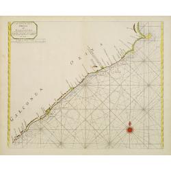
A new chart of the coast of ORIXA and GALCONDA. Carefully corrected and compared with the French charts.
Interesting and detailed navigational chart of southern part of India.
Date: London 1745
Selling price: ????
Please login to see price!
Sold
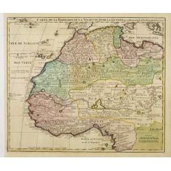
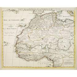
Carte de la Barbarie de la Nigritie et de la Guinée..
Richly engraved map of North and West Africa, based upon the earlier maps of De L'Isle. Richly annotated throughout and with excellent regional detail. It includes the Ca...
Date: Amsterdam c. 1745
Selling price: ????
Please login to see price!
Sold
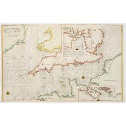
A new and correct chart of the channel between England & France..
The chart includes the South Coast of England from North of the Bristol Channel and of the Thames Estuary, there are insets for Plymouth Sound and the Isle of Wight.
Date: London 1745
Selling price: ????
Please login to see price!
Sold
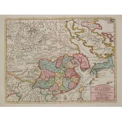
Nouvelle Carte de l'Empire de la Chine et les Païs circomvoisins.
A map of China by Izaak Tirion, also showing Korea and Japan.Isaak Tirion (d. 1769) Amsterdam publisher. His "Nieuwe en beknopte handatlas" saw 6 editions betwe...
Date: Amsterdam, c. 1745
Selling price: ????
Please login to see price!
Sold in 2019
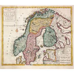
Niewe Kaart van het Koninkrijk Zweden.
Izaak Tirion (d. 1769) Amsterdam publisher. His ' Nieuwe en beknopte handatlas' saw 6 editions between before 1740 and after 1784. Also ' Tegenwoordige staat van alle vol...
Date: Amsterdam, c. 1745
Selling price: ????
Please login to see price!
Sold in 2018
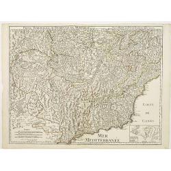
Partie Meridionale du Piemont et du Monferrat..
Map covering the southern part of the Piedmont and the "Riviera di ponente", the sea coast at the east of Genoa. It includes par of France and the Principality ...
Date: Paris 1745
Selling price: ????
Please login to see price!
Sold
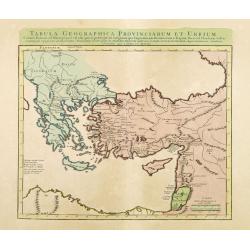
Tabula Geographica Provinciarum et Urbium Colonia Romana..
Covens and Mortier's Map of the Roman World is a copperplate engraving based on an earlier map by Guillelmo De L'Isle (1675-1726)Engraved map in outline color. Relief sho...
Date: Amsterdam c. 1745
Selling price: ????
Please login to see price!
Sold in 2012
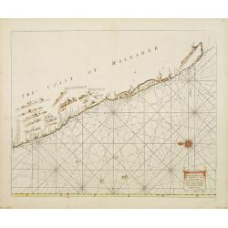
A Large Draught of the Mallabar Coast..
Important chart of the coast centred on Calcutta. From the East India Pilot . Detailed map with compass roses and system of rhumb lines, soundings and anchorage's. Many p...
Date: London 1745
Selling price: ????
Please login to see price!
Sold
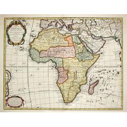
Carte d' Afrique Dressée pour l' usage du Roy?1722.
Guillaume de l' Isle (1675-1724), Royal Geographer, was the most influential French cartographer of the first quarter of the 18th century. ' Atlas de Géographie' (1700-1...
Date: Paris, Ph.Buache, 1745
Selling price: ????
Please login to see price!
Sold in 2008
Carte de la Louisiane et du Cours du Mississipi Dressée sur un grand nombre de Memoires..
Covens & Mortier's issue of Delisle's influential map of the French possession of Louisiana. Updated to include New Orleans.When originally published in 1718, it was ...
Date: Amsterdam c. 1745
Selling price: ????
Please login to see price!
Sold
Carte de la Barbarie de la Nigritie et de la Guinée..
Richly engraved map of North and West Africa, based upon the earlier maps of De L'Isle. Richly annotated throughout and with excellent regional detail. It includes the Ca...
Date: Amsterdam, c. 1745
Selling price: ????
Please login to see price!
Sold in 2022
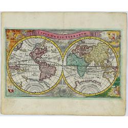
Typus Orbis Terrarum.
A decorative and rare World map published by Adam Friedrich Zurner in Nuremberg. California is shown as an island with a narrowing, irregular northern coast, substantial ...
Date: Nürnberg, 1745
Selling price: ????
Please login to see price!
Sold in 2018
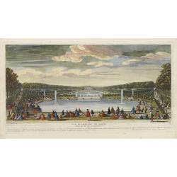
Vue du Château de Marli. Prise du bas du grand parterre. . .
A magnificent view of a stunning Château de Marli by the celebrated landscape engraver Jacques Rigaud (1681-1754). At the Château of Marly, Louis XIV of France escaped ...
Date: Paris, c. 1745
Selling price: ????
Please login to see price!
Sold in 2009
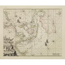
Orientaliora Indiarum Orientalium. . .
This is a corrected version of De Wit. Tasmania is inserted, and New Britain with Dampier's route 1700, now changes the shape of New Guinea. The chart has also been corre...
Date: Amsterdam, 1745
Selling price: ????
Please login to see price!
Sold in 2008
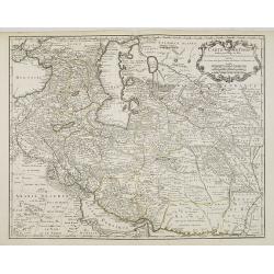
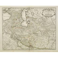
Carte de Perse dressée pour l'usage du Roy. . .
Detailed map of Persia embellished with a title cartouche featuring the French crown and coat of arms. Prepared by one of the major key figures in the development of Fren...
Date: Paris, 1745
Selling price: ????
Please login to see price!
Sold
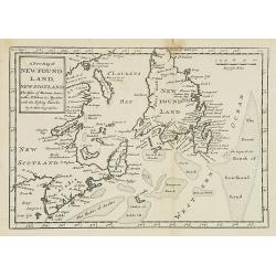
A new map of New Foundland, New Scotland. The Isles of Breton, Antocoste, St. Johns. . .
Fine map shows Newfoundland with the neighboring 'Cap Breton' and 'New Arcadia'. Hermann Moll's map provided a fair amount of information on place names, mostly along the...
Date: London, 1745
Selling price: ????
Please login to see price!
Sold in 2008
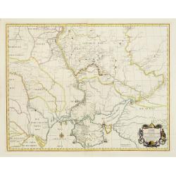
Charte derer von der Russischkeyser Armee im Jahr 1736 zwischen und an dem Dnieper und Donn wieder die Turcken und Tartarn siegreich unternommenen Kriegs-Operationen.
Scarce map illustrating the territories between the rivers Dnieper and Donn felt under Russian domination in 1736. The map is sometimes bound in the Atlas Russicus, print...
Date: Srt. Petersbourg, 1745
Selling price: ????
Please login to see price!
Sold in 2008
Partie Meridionale du Piemont et du Monferrat . . . plusieurs Cartes..
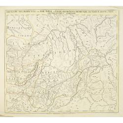
Large, detailed map of Valle d'Aosta and most part of Piedmont. Includes illustrated topography with notations about towns, roads, passes, mountains, etc. Relief shown pi...
Date: Amsterdam, c. 1745
Selling price: ????
Please login to see price!
Sold
Carte de Perse dressée pour l'usage du Roy. . .
Detailed map of Persia embellished with a title cartouche featuring the French crown and coat of arms. Prepared by one of the major key figures in the development of Fren...
Date: Paris, 1745
Selling price: ????
Please login to see price!
Sold in 2009
Carte des Indes et de la Chine Dressée . . .
Large and attractive map of South East Asia, India and China.The map is of interest for the use of East Sea, the sea between Korea and Japan, here called "Mer Orient...
Date: Amsterdam, c. 1745
Selling price: ????
Please login to see price!
Sold
Partie Septentrionale du Duche de Bourgogne . . .
Large, detailed map of northern Burgundy, covering the region from Bar-sur-Seine in the North to Dijon and Auxonne in the South East. Shows many villages, towns, roads an...
Date: Amsterdam, ca. 1745
Selling price: ????
Please login to see price!
Sold
Partie meridionale de Picardie dressee sur les operations geometriques de Mrs. Lesperson & de Rousseville et sur plusieurs autres memoires Par Guillaume Del'isle . . .
Engraved map of the Picardie region in northern France. Urban areas in color. Relief is shown pictorially. Shows forests, Roman roads, churches, abbeys by religious order...
Date: Amsterdam, 1745
Selling price: ????
Please login to see price!
Sold in 2009
Gouvernement Général de L'Isle de France . . .
A fine engraved map centered on Paris metropolitan area and its vicinities in the Isle de France region. Decorative title and scale cartouches.The map is from a Dutch edi...
Date: Paris, ca. 1745
Selling price: ????
Please login to see price!
Sold in 2012
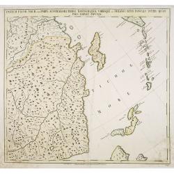
Ostium Fluvii Amur cum parte australiori terrae Kamtschatkae variisque in Oceano sitis Insulis inter quas pars eminet Japoniae. No.19
Detailed map of part of Siberia in Russia, including in the lower right part the Northern tip of Hokkaido and in the upper right corner the southern tip of Kamchatka. The...
Date: Petersburg, 1745
Selling price: ????
Please login to see price!
Sold in 2009
Imperium Japonicum Per Regiones Digestum Sex et Sexaginta Atque Ipsorum Japonensium Mappis Descriptum Ab Hadriano Relando.
Prepared by H.Reland (1676-1718) a professor active in Utrecht and specialized in Asian languages, geography and religions. His first map was a map of Japan copied after ...
Date: Amsterdam, 1745
Selling price: ????
Please login to see price!
Sold
Carte De France Dressée pour l'usage du Roy. . .
Beautifully engraved, detailed general map of France, illustrating towns, roads, rivers, forests, etc. Embellished by two decorative cartouches: a title cartouche surmoun...
Date: Amsterdam, c. 1745
Selling price: ????
Please login to see price!
Sold
La Monarchie des Hebreux sous Salamon, ou le royaume D'Israel. . . / Carte de la terre des Hebreux ou Israelites. . .
Two maps of the Holy Land on one sheet representing the Monarchy of the Hebrews under Solomon divided into 12 governments. The Kingdom of Solomon includes not only Palest...
Date: Paris, 1745
Selling price: ????
Please login to see price!
Sold in 2011
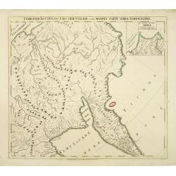
Territorii Iacutensis pars orientalior cum maxima parte terrae Kamtschatkae.
Detailed map of part of Siberia, including Kamtschatka. In the upper right corner an inset map 115x130mm of Siberia. The map was prepared by Joseph Nicolas De L'Isle and ...
Date: Petersburg, 1745
Selling price: ????
Please login to see price!
Sold in 2010
Irkutensis vice praefectura cum Mari Baikal, et fonte Fluvü Lenae, partibusque Fluviorum Argun et Amur. N. 17.
Detailed map of part of Siberia, including Baikal lake and Irkuck. The map was prepared by Joseph Nicolas De L'Isle and was included in "Atlas Russicus". The Ru...
Date: Petersburg, 1745
Selling price: ????
Please login to see price!
Sold in 2010
Pontus Euxinus of niewe en Naaukeurige paskaart van de Zwarte Zee. . .
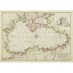
Beautifully engraved map of the Black Sea prepared by Willem Witsen. This is the rare Ottens edition, where the address of Renard is replaced by the address of R. and J. ...
Date: Amsterdam, 1745
Selling price: ????
Please login to see price!
Sold in 2010
Carte du Golfe de Venise . . .
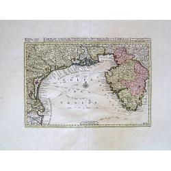
Map of N.E. Italy, from Venice to Trieste
Date: Amsterdam, c.1745
Selling price: ????
Please login to see price!
Sold in 2010
Tabula geographica exhibens regnum Sclavoniae. . .
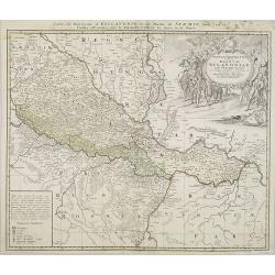
Detailed copper-engraved map of Slavonia, the region in eastern Croatia. Belgrade to the east with the Danube, with the Sava a right side tributary of the Danube river.Ma...
Date: Nuremberg, 1745
Selling price: ????
Please login to see price!
Sold in 2011
The History of the Court of the King of China [with] An Account of the Empire of China. . .
Complete account extracted from a contemporary collection of voyages in French and Spanish and translated into English. Includes a map of China by Herman Moll.
Date: London, 1745
Selling price: ????
Please login to see price!
Sold in 2012
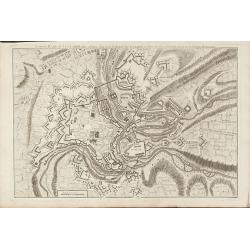
Nouveau Plan de Luxembourg
A rare plan of Luxembourg by Le Rouge. Showing the fortified city with the adjacent streets, title on top.
Date: Paris, 1745
Selling price: ????
Please login to see price!
Sold in 2010
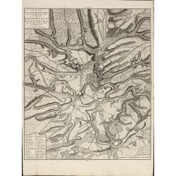
Plan de Luxembourg de ses Nouvelles Fortifications et de ses Environs
A large, scarce of Luxembourg by Covens & Mortier. Based on an earlier Jaillot map. Including a key showing 41 place names. Printed on heavy paper.
Date: Amsterdam, 1745
Selling price: ????
Please login to see price!
Sold in 2010
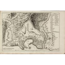
Plan de Genes
A rare plan of Genoa by Le Rouge. Showing the fortified city with the adjacent streets, title on top, key on the right. Decorated with a compass rose.
Date: Paris, 1745
Selling price: ????
Please login to see price!
Sold in 2011
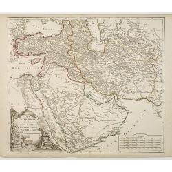
Etats du Grand-Seigneur en Asie, Empire de Perse, Pays des Usbecs, Arabie et Egypte.
Detailed map of the region bounded by the Black Sea, Georgia, the Caspian, Uzbekistan, The Indian Ocean, Saudi Arabia ("Arabie Heureuse"), Egypt, and the Red Se...
Date: Paris, c.1745
Selling price: ????
Please login to see price!
Sold in 2010
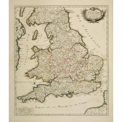
Le royaume d'Angleterre divisé en Comte et Baronies. . .
Fine map of England and Wales. As well as country details, including the main post roads. Le Rouge was active from 1740- till 1780 as a publisher, and was appointed engin...
Date: Paris, 1745
Selling price: ????
Please login to see price!
Sold in 2011
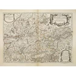
Carte des Comtéz de HAINAUT de NAMUR et de CAMBRESIS.
Map of the region of Mons, Maubeuge, Valencienes in the North of France and Namen and Huy in Belgium.Philippe Buache de la Neuville was born in Neuville-en-Pont (France) ...
Date: Paris, 1745
Selling price: ????
Please login to see price!
Sold in 2020
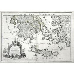
Graeciae Antiquae Tabula Nova . . .
Finely detailed map of Greece, Crete and the southeastern coast of Asia Minor based on a 1707 map by de L'Isle, and later republished by Buache in 1745. Cities, villages,...
Date: Paris, 1745
Selling price: ????
Please login to see price!
Sold in 2010
Territorii Iacutensis pars orientalior cum maxima parte terrae Kamtschatkae.
Detailed map of part of Siberia, including Kamtschatka. In the upper right corner an inset map 115x130mm of Siberia. The map was prepared by Joseph Nicolas De L’Isle an...
Date: Petersburg, 1745
Selling price: ????
Please login to see price!
Sold in 2010
Cartes Des Courones Du Nord Qui Comprend les Royaumes de Danemark, Suede & Nowege, &c.. [together with] Seconde Carte des Courones du Nord..
Large, highly detailed two sheet map of Scandinavia. Beautifully engraved with a decorative title cartouche and 2 compass roses.Shows illustrated topography with roads, r...
Date: Amsterdam c. 1745
Selling price: ????
Please login to see price!
Sold in 2010
Carte Du Royaume de Danemarc.
Beautifully engraved, highly decorative map showing all of Denmark and southern Sweden, extending north to Warberg.The map is from a Dutch edition of De L'Isle's work ent...
Date: Amsterdam, c. 1745
Selling price: ????
Please login to see price!
Sold in 2011
![Cartes Des Courones Du Nord Qui Comprend les Royaumes de Danemark, Suede & Nowege, &c.. [and] Seconde Carte des Courones du Nord..](/uploads/cache/21528-250x250.jpg)
![Carte du Bourdelois du Perigord.. [and] Carte Du Bearn de La Bigorre de L'Armagnac.. (2 sheets)](/uploads/cache/21538-250x250.jpg)
![The History of the Court of the King of China [with] An Account of the Empire of China. . .](/uploads/cache/99680-250x250.jpg)
![Cartes Des Courones Du Nord Qui Comprend les Royaumes de Danemark, Suede & Nowege, &c.. [together with] Seconde Carte des Courones du Nord..](/uploads/cache/29997-250x250.jpg)
