Browse Listings
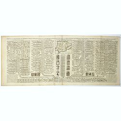
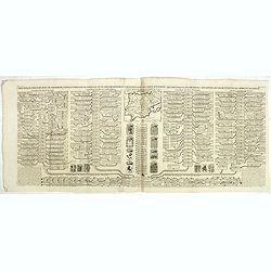
Carte généalogique des rois de Navarre de Castille d'Arragon de Portugal et de Grenade, rangée en parallele avec la carte d'Espagne qui distingue les diverses situations de leurs états, leurs armes et alliances.
Interesting sheet with a map of Spain and Portugal and a genealogical tree of the kings of Castile and Navarre, with descriptive French text, from Chatelain's monumental ...
Date: Amsterdam, 1720
Selling price: ????
Please login to see price!
Sold in 2019
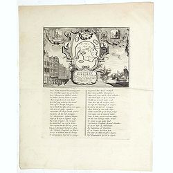
Afbeeldinge van't zeer vermaarde Eiland Geks-Kop. . .
The central map of the island of Madhead is contained in an elaborately engraved cartouche surrounded by scenes of ill-fated investors storming the offices of John Law's ...
Date: Amsterdam, 1720
Selling price: ????
Please login to see price!
Sold in 2019
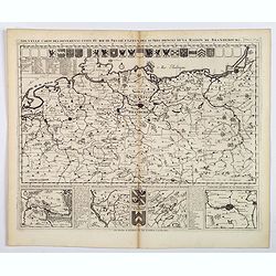
Nouvelle Carte des Differents Etats du Roi de Prusse et de Ceux des Autres Princes de la Maison de Brandebourg.
An interesting map of Germany, focusing on the north. This map covers the area from the French/Dutch borders to Konigsburg (Kaliningrad), including part of modern Poland....
Date: Amsterdam, ca 1720
Selling price: ????
Please login to see price!
Sold in 2021
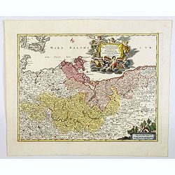
Tabula Marchionatus Brandenburgici et Ducatus Pomerania. . .
A lovely example of the Homann map of Brandenburg and Pomerania, in Germany. The cities of Frankfurt, Brandenburg and Berlin are highlighted in red. This map also include...
Date: Nuremberg, 1720
Selling price: ????
Please login to see price!
Sold in 2019
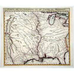
CARTE DE LA LOUISIANE ET DU COURS DU MISSISSIPI.
A nice example of Jean Frederic Bernard's rare variant edition of Guillaume De L'Isle's seminal map, one of the most important and influential maps of the 18th Century, w...
Date: Amsterdam, 1720
Selling price: ????
Please login to see price!
Sold in 2019
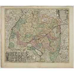
S.R.I. Suevia Circulus et Ducatus, Comprehendes Wirtenbergi Ducatus Augustanum
Decorative and detailed map of Baden-Württemberg and today's Bavarian government district Schwaben. In the lower-left corner is a coat of arms and the upper right corner...
Date: Amsterdam, 1660 - 1720
Selling price: ????
Please login to see price!
Sold in 2023
Carte genealogique de la maison de Courtenay avec les differentes branches quelle a formees accompagnee du Blazon des armes de la plus part des alliances des seigneurs de cette famille.
Genealogical chart, from Chatelain's monumental 7 volume "Atlas Historique". Henri Abraham Chatelain (1684 – 1743) was a Huguenot pastor of Parisian origins. ...
Date: Amsterdam, 1720
Selling price: ????
Please login to see price!
Sold in 2020
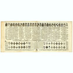
Carte généalogique des rois de Navarre de Castille d'Arragon de Portugal et de Grenade, rangée en parallele avec la carte d'Espagne qui distingue les diverses situations de leurs états, leurs armes et alliances.
Interesting sheet with a small map of Spain and Portugal and a genealogical tree of the kings of Castile and Navarre, with descriptive French text, from Chatelain's monum...
Date: Amsterdam, 1720
Selling price: ????
Please login to see price!
Sold in 2020
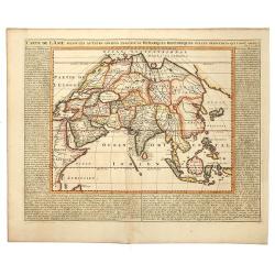
CARTE DE L'ASIE, Selon les auteurs anciens enriche de Remarques Historiques sur le Changements qui y sont arrivez.
A map of Asia, extending from the Mediterranean, the Red Sea and the Saudi Arabian Peninsula to Japan, the Philippines and Southeast Asia. With explanatory text on either...
Date: Amsterdam, 1720
Selling price: ????
Please login to see price!
Sold in 2019
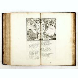
Het Groote Tafereel der Dwaasheid
AN EARLY ISSUE of this biting and vulgar satire on the Mississippi and South Sea Bubbles and an extraordinary visual record with 78 plates of the first banking crash, sho...
Date: Amsterdam, 1720
Selling price: ????
Please login to see price!
Sold in 2017
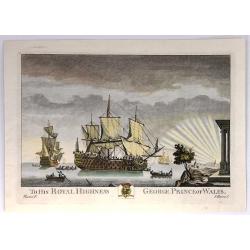
To His Royal highness, George, Prince of Wales
This print was one of twelve, then twenty, drawn and engraved by Thomas Baston, and published by Carrington Bowles in “Twenty-two Prints of Several of the Capital Ships...
Date: London, c1720
Selling price: ????
Please login to see price!
Sold in 2020
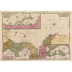
Le Golfe de Panama &cc.Cartagene,..
An impressive large sheet chart of Panama and part of the Colombia coast up to Santa Nevada de Santa Marta. In top left corner, detailed inset map (190x460mm) of Sambalas...
Date: Amsterdam 1720
Selling price: ????
Please login to see price!
Sold
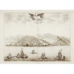
De stadt Algier.
Rare panoramic view of Algiers in Algeria.Printed by Covens and Mortier, who used the plates originally engraved for Montanus. Uncommon issue.
Date: Amsterdam 1720
Selling price: ????
Please login to see price!
Sold
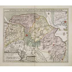
Groningae et Omlandiae Dominium vulgo De Provincie van Stadt en Lande, cum subjacent. Territ. Praefect. et Tractibus. [Lud Tjarda â Starckenburg. Nicol:Visscher. . .
Detailed map of the northern Dutch region of Groningen with figurative cartouche and coats of arms. The town of Groningen in the center, Emden just on the right. Engraved...
Date: Amsterdam, 1685/ 1720
Selling price: ????
Please login to see price!
Sold in 2017
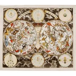
Planisphaerium Caeleste Secundum Restitutionem Hevelianam et Hallejanam. . .
A very decorative double hemisphere celestial chart, centered on the North and South Poles.With smaller circular diagrams illustrating the theories of Tycho, Ptolemy and ...
Date: Augsburg, 1720
Selling price: ????
Please login to see price!
Sold
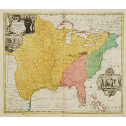
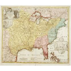
Amplissimae Regionis Mississipi,.. Provinciae Ludovicianae
Attractive map of present-day U.S. from Nouveau Mexico to the Atlantic, centring on the French province of Louisiana, with the English colonies and Spanish Florida indica...
Date: Nuremberg 1720
Selling price: ????
Please login to see price!
Sold
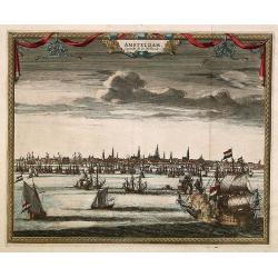
Amsterdam. Capitale de la Hollande.
A panoramic view of the town of Amsterdam seen from 't IJ.Rare.
Date: Leiden 1720
Selling price: ????
Please login to see price!
Sold
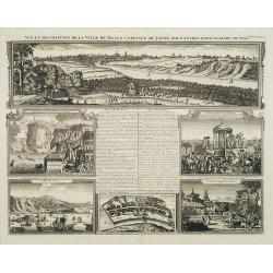
Vue et description de la Ville de Meaco Capitale du Japon..
"Top part of the print shows the town of Meaco (Kyoto) at that time the capital of Japan, with a coach and horses in the foreground. Other parts show among other thi...
Date: Amsterdam, 1720
Selling price: ????
Please login to see price!
Sold in 2010
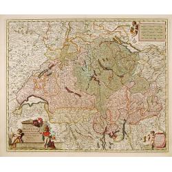
Exactissima Helvetiae, Rhaetiae, Valesia..
Engraved by A.Hogeboom. A re-issue of the map by Nicolaes Visscher. On verso a alphabetical table for locating cities in Switzerland.
Date: Amsterdam 1720
Selling price: ????
Please login to see price!
Sold in 2011
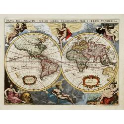
Nova delineatio Orbis Terrarum..
Very decorative with double hemispheres surrounded by six figures representing earth, fire, water, day and night. Shows California as an island. Based on Colom's rare 165...
Date: Leiden 1720
Selling price: ????
Please login to see price!
Sold
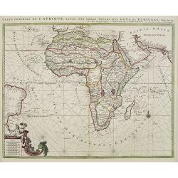
Carte generale de L'Afrique, levée par ordre expres des roys de Portugal..
An impressive chart of the continent of Africa. Decorative scale cartouche to the lower left and the eastern tip of Brazil.
Date: Amsterdam, 1720
Selling price: ????
Please login to see price!
Sold in 2012
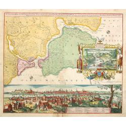
Accurate Vorstellung der .. Constantinopel..
The upper part shows Constantinople with adjoining regions. The bottom part shows a prospect of the town.
Date: Nuremberg 1720
Selling price: ????
Please login to see price!
Sold
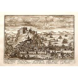
Edimbourg Ville Capitale du Royaume d'Ecosse.
"A very RARE panoramic view of the city of Edinburgh, including a numbered legend in the lower part.Published by the brothers Chéreau, active in Paris at ...
Date: Paris c.1720
Selling price: ????
Please login to see price!
Sold
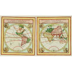
Der Neuen Welt.. / Der Alte Welt..
Two maps on one sheet, showing eastern and western hemisphere. In each corner portrait of important explorers: Columbus, Drake, Vespucci, Magalhaes, Schouten, Dampier, Ta...
Date: Augsburg 1720
Selling price: ????
Please login to see price!
Sold
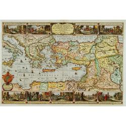
The Travels of st. Paul ..
Around 1655 Moxon (1627-1700 ) visited Amsterdam, probably to learn from the Dutch if there was a northern passage to the Indies. In Amsterdam he met father Claes and son...
Date: London 1720
Selling price: ????
Please login to see price!
Sold
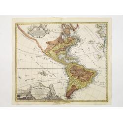
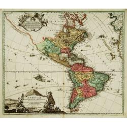
Totius Americae Septentrionalis et Meridionalis.
Richly ornamented map of North and South America. Title cartouche bottom left is copied from De Fer's map of 1699 and cartouche containing text (top left) is based on De ...
Date: Nuremberg 1720
Selling price: ????
Please login to see price!
Sold
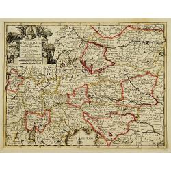
Cercle d'Autriche..
Decorative map of Austria with a nice title cartouche.
Date: Leiden, c.1720
Selling price: ????
Please login to see price!
Sold
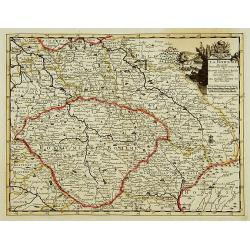
La Bohême, suivant les nouvelles observations?
With decorative title cartouche upper right corner.
Date: Leiden c.1720
Selling price: ????
Please login to see price!
Sold
Lot : 10 maps and city views centered on the river Rhine.
Lot : 10 maps and city views centered on the river Rhine. Maps and prints by Braun and Hogenberg/ de Fer.
Date: c.1720
Selling price: ????
Please login to see price!
Sold
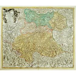
Archiducatus Austriae superioris in suas Quadrantes..
Map of the northern area of Austria. Large decorative uncolored cartouche upper left.Several cities underlined with ink, manuscript addition.
Date: Nuremberg 1720
Selling price: ????
Please login to see price!
Sold
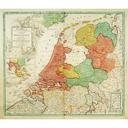
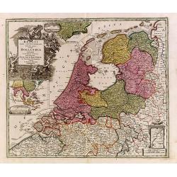
Belgii pars Septentrionalis vulgo Hollandia..
A large, decorative -colored- title cartouche at top left. In an inset -122x140mm- under the title cartouche a small map of Southeast Asia with a panoramic view of the po...
Date: Nuremberg 1720
Selling price: ????
Please login to see price!
Sold
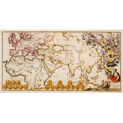
Den AARDBODEM na de Zundvloed door NOACHs dri Soonen en hare nakomelingen bevolkt.
Decorative historical world map indicating the regions where the three sons of Noach have lived. To the right is a family tree. At the bottom are several coins.
Date: The Netherlands 1720
Selling price: ????
Please login to see price!
Sold
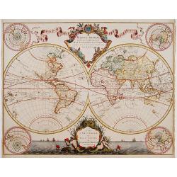
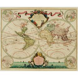
Mappe-Monde dressé sur les observations de.. par M.de L'Isle.
Guillaume de L'Isle became one of the foremost geographers of his age. He was tutored by Jean-Dominique Cassini and at the age of 25 produced a globe, maps of the four co...
Date: Amsterdam 1720
Selling price: ????
Please login to see price!
Sold
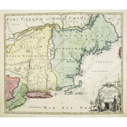
Nova Anglia Septentrionali Americae implantata . . .
German interest in North America was high during the first half of the eighteenth century when Johann Baptiste Homann was the leading German cartographer. During this per...
Date: Nurnberg, 1720
Selling price: ????
Please login to see price!
Sold in 2022
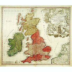
Magna Britannia?
A decorative of Britain and Ireland with great details. Includes part of France, Belgium and Holland. The large title cartouche is very decorative.
Date: Nuremberg, 1720
Selling price: ????
Please login to see price!
Sold
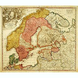
Scandinavia complectens Sueciae, Daniae & Norvegia.
Johann Baptist Homann's well-engraved map has a large decorative cartouche. Detailed map of Scandinavia. Johann Baptist Homann (1663-1724) was a German engraver and publi...
Date: Nuremberg, 1720
Selling price: ????
Please login to see price!
Sold
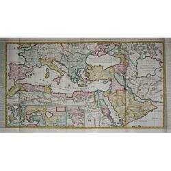
Carte de l\' Empire Othoman consideréedans les Etats de cette Puissance, et Etats qui l\' avoisinent ou qui luy sont tributaires. / Carte pour servir a l\' Histoire Universelle / Carte de la Grèce.
Henri Abraham Chatelain was a Amsterdam-based geographer and publisher. His main product is the 'Atlas Historique et Méthodique', in seven volumes, published between 171...
Date: Amsterdam, 1710 / 1720
Selling price: ????
Please login to see price!
Sold in 2009
Mappe-Monde dressé sur les observations de..
Guillaume de L'Isle became one of the foremost geographers of his age. He was tutored by Jean-Dominique Cassini and at the age of 25 produced a globe, maps of the four co...
Date: Amsterdam 1720
Selling price: ????
Please login to see price!
Sold
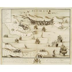
Portsmouth.
A very fine and quite large view of Portsmouth from Joannes Kip's Britannia Illustrata or Views of Several of the Queens Palaces also of the Principal Seats of the Nobili...
Date: London 1708-1720
Selling price: ????
Please login to see price!
Sold
Belgii pars Septentrionalis vulgo Hollandia..
A large, decorative -colored- title cartouche at top left. In an inset -122x140mm- under the title cartouche a small map of Southeast Asia with a panoramic view of the po...
Date: Nuremberg 1720
Selling price: ????
Please login to see price!
Sold
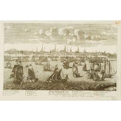
Amsterdam Ville du Comte de Hollande.
A very RARE panoramic view of the city of Amsterdam, including a legend in the lower both corners.The plate is numbered in red pencil in upper right corner.Engraved by Je...
Date: Paris 1690-1720
Selling price: ????
Please login to see price!
Sold
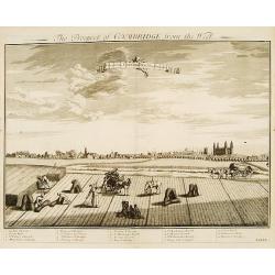
Prospect of Cambridge from the west.
A very fine and quite large view of Cambridge seen from the west, from: Britannia Illustrata or Views of Several of the Queens Palaces also of the Principal Seats of the ...
Date: London 1708-1720
Selling price: ????
Please login to see price!
Sold
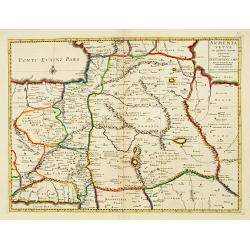
Armenia Vetus In Quatuor Partes..
Uncommon map of ancient Armenia.
Date: Amsterdam 1720
Selling price: ????
Please login to see price!
Sold
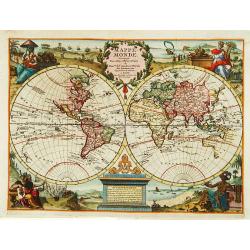
Mappe Monde.
Decorative world map in two hemispheres. Vignettes symbolising the four continents occupy the corners: between the hemispheres there are two elaborate cartouches.
Date: Leiden 1720
Selling price: ????
Please login to see price!
Sold
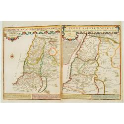
Descriptio Acurata Terrae Promissae.. Terre Sainte Moderne.
To the left a very attractive map of Palestine on both sides of the Jordan, after Philippe de La Rue. To the right hand side a map of Terre Sainte Moderne , under Turkish...
Date: Paris 1720
Selling price: ????
Please login to see price!
Sold
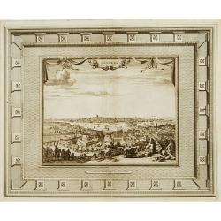
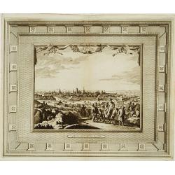
Londres capitale de l'Angleterre.
Fine and uncommon panoramic view of London. The view is printed within a large, elaborately engraved mock-frame border, which was prepared with a blank centre so that the...
Date: Leiden 1720
Selling price: ????
Please login to see price!
Sold
La ville de Dantzic dans la Prusse Royale.
Fine and uncommon panoramic view of Dantzig. The view is printed within a large, elaborately engraved mock-frame border, which was prepared with a blank center so that th...
Date: Leiden, 1720
Selling price: ????
Please login to see price!
Sold
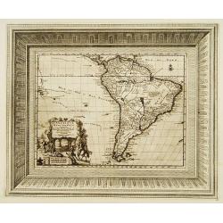
L'Amérique Méridionale..
Fine and uncommon map of south America. Very decorative title cartouche on the lower left corner. The map is printed within a large, elaborately engraved mock-frame borde...
Date: Leiden 1720
Selling price: ????
Please login to see price!
Sold
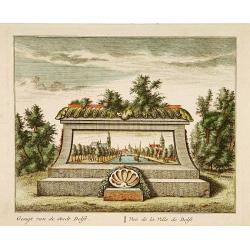
Vue de la Ville de Delft.
A very fine and decorative view of the city of Delft. Includes a title in Dutch and French underneath.
Date: Amsterdam c.1720
Selling price: ????
Please login to see price!
Sold in 2019
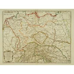
Germania Antiqua in IV. Magnos populos, in minores populos, et in minimos, distincta..
A fine map of ancient Germany, Poland and the Netherlands.Nicolas Sanson was to bring about the rise of French cartography, although the fierce competition of the Dutch w...
Date: Paris 1720
Selling price: ????
Please login to see price!
Sold in 2022
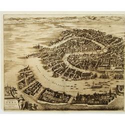
Celeberrima Urbs Venetiae. (Venice)
Precise, beautiful bird's-eye view of Venice and neighboring islands (Murano, Burano, Torcello and Mazorbo), clearly depicting the city's architectural landmark. The surr...
Date: Amsterdam 1720
Selling price: ????
Please login to see price!
Sold
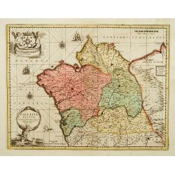
Gallaecia Regnum.
Fine map of part of Spain.
Date: Amsterdam, 1720
Selling price: ????
Please login to see price!
Sold
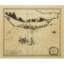
l'Isle de Formosa..
A decorative map of the west coast of Taiwan and the Pescadores Islands (Penghu), showing little detail of the Taiwanese inland, apart from the immense mountain range. Fo...
Date: Leiden 1720
Selling price: ????
Please login to see price!
Sold
Nova Helvetiae tabula geographica [Sheet 1 of 4]
Johann Jakob Scheuchzer (August 2, 1672 ? June 23, 1733) was a Swiss scholar born at Zürich. In 1712 he published, a map of Switzerland in four sheets (scale 1/290,000),...
Date: Amsterdam 1720
Selling price: ????
Please login to see price!
Sold
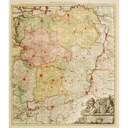
Brabantiae Ducatus
On the lower right a cartouche embellished with figures, trees, birds, fruits and the heraldic arms of Brabant, held by a female figure. At bottom a dedication to Herman ...
Date: Amsterdam 1720
Selling price: ????
Please login to see price!
Sold
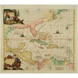
Indiarum Occidentalium Tractus Littoralis cum Insulis..
One of the most splendidly engraved Dutch charts of the Caribbean with two decorative cartouches, one of which illustrates Native American cannibals preparing a meal. Inc...
Date: Amsterdam 1720
Selling price: ????
Please login to see price!
Sold
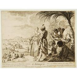
L'Afrique.
Print depicting natives from Africa with lions and elephants.
Date: Paris, 1690-1720
Selling price: ????
Please login to see price!
Sold
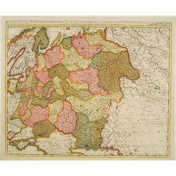
Russia Alba, sive Moscovia, regio valde extensa, divisaque in regni..
European Russia, including Ukraine.
Date: Amsterdam 1720
Selling price: ????
Please login to see price!
Sold
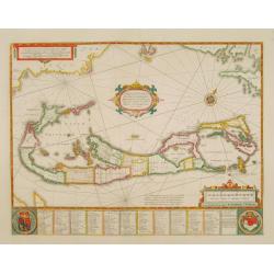
Mappa Aestivarum Insularum, alias Barmudas..
The map is the rare re-issue of the Blaeu's copperplate of 1630. The map includes the arms of Bermuda and England, and lists proprietors of the various tribes into which ...
Date: Amsterdam 1720
Selling price: ????
Please login to see price!
Sold
Magni Mogolis Imperium de novo correctum et Divisum..
A rare issue of this attractive map of northern India and Central Asia. The map was originally published by F.de Wit. P.Mortier acquired de Wit's stock of copperplates in...
Date: Amsterdam 1720
Selling price: ????
Please login to see price!
Sold
Amplissimae Regionis Mississipi,.. Provinciae Ludovicianae.
Attractive map of present-day U.S. from Nouveau Mexico to the Atlantic, centring on the French province of Louisiana, with the English colonies and Spanish Florida indica...
Date: Nuremberg 1720
Selling price: ????
Please login to see price!
Sold
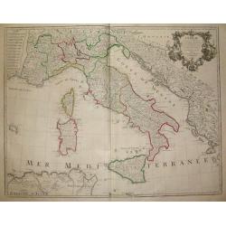
L´Italie...
Title: L´Italie. Dressée sur les Observations de Mrs. de l´Academie Royale des Sciences sur celles du R.P. Riccioli de la Compagnie de Jesus et autres Astronomes du pa...
Date: France, c. 1720
Selling price: ????
Please login to see price!
Sold in 2018
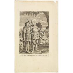
Koning en Koningin van de Mississippi.
An Indian couple of the Mississippi area. From a book satirizing the disastrous Mississippi scheme (1718-1720) of the French Compagnie d'Occident and the speculation of i...
Date: Amsterdam, 1720
Selling price: ????
Please login to see price!
Sold in 2013
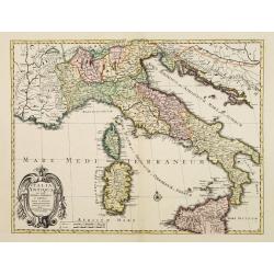
Italia Antiqua cum insulis Sicilia Sardinia..
Fine map of ancient Italy, including Sardinia and Corsica.A Amsterdam issue of the map by Nicolas Sanson.
Date: Amsterdam 1720
Selling price: ????
Please login to see price!
Sold
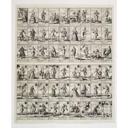
Pasquins windkaart op de windnegotie van 't Iaar 1720
Pasquin's wind card on the wind trade of the year 1720. Set of 52 illustrated playing-cards with human figures and a little explanation under each one. Interesting is the...
Date: Amsterdam 1720
Selling price: ????
Please login to see price!
Sold
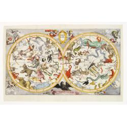
Hemel globe. Coeli enarrant Gloriam del.
Charming double hemisphere celestial map on a polar projection. The map depicts the ecliptic pole to ecliptic, joined through winter solstice.It is based on the Hondius m...
Date: Amsterdam 1720
Selling price: ????
Please login to see price!
Sold
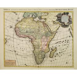
L'Afrique dressée sur les observations de M. de l'academie Royale des Sciences..
Very fine engraved map of Africa with a very decorative title cartouche. Giving good detail along the coast.An version printed in Amsterdam after De L'Isle.
Date: Amsterdam 1720
Selling price: ????
Please login to see price!
Sold
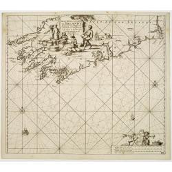
Nieuwe pascaert, vande suyt syde van Yrlandt..
Showing the south coast of Ireland.Latitude scale, compass rose and system of rhumb lines, soundings, anchorage's, etc. In lower right corner with added number 20.
Date: Amsterdam 1720
Selling price: ????
Please login to see price!
Sold
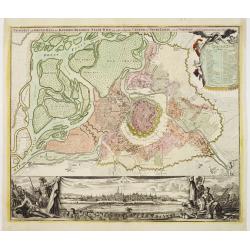
Prospect und Grund-riss.. stadt Wien.
The upper part shows Vienna with adjoining regions. The bottom part shows a prospect of the town.
Date: Nuremberg 1720
Selling price: ????
Please login to see price!
Sold
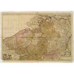
Het groot en by naar geduurige schouwburg van den Europeeschen Oorlogh behelsende Brabant, Vlanderen, Henegouwe, Namur en Luyck, etc. te Amsterdam by P.Schenk.
Rare and interesting map of Brabant, and present-day Belgium. The wall map consists of two pages, pasted together and in top a separate printed slip with its title Het gr...
Date: Amsterdam 1720
Selling price: ????
Please login to see price!
Sold
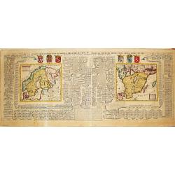
Carte Genealogique pour conduire a l' histore des Rois du Nord, la Carte de leurs etats, leurs Armes &tc. / nouvelle cart du Royaume de Suede. / Carte du Royaume de Gothie.
Henri Abraham Chatelain was a Amsterdam-based geographer and publisher. His main product is the 'Atlas Historique et Méthodique', in seven volumes, published between 171...
Date: Amsterdam, 1710-1720
Selling price: ????
Please login to see price!
Sold
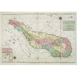
Carte particuliere de L'Isle Dauphine ou Madagascar..
An impressive large sheet of the island of Madagascar. Numerous place names, soundings and sand banks are shown round the island and the regions are defined in original ...
Date: Amsterdam 1720
Selling price: ????
Please login to see price!
Sold in 2012
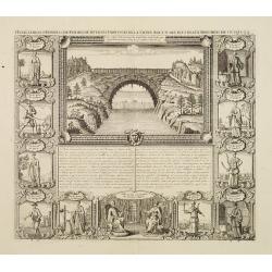
Habillemens d'Hommes & Femmes de diverses provinces de la Chine avec.....la Pont volant de la Provence de Xensi.
Henri Abraham Chatelain was a Amsterdam-based geographer and publisher. His main product is the 'Atlas Historique et Méthodique', in seven volumes, published between 171...
Date: Amsterdam, c. 1720
Selling price: ????
Please login to see price!
Sold
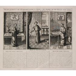
Habillement de l'Empereur de la Chine & des Dames de son Palais
Henri Abraham Chatelain was a Amsterdam-based geographer and publisher. His main product is the 'Atlas Historique et Méthodique', in seven volumes, published between 171...
Date: Amsterdam, c. 1720
Selling price: ????
Please login to see price!
Sold
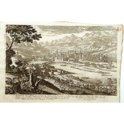
Inspruck Ville d'Allemagne Capitale du Comte de Tyrol.
A very RARE panoramic view of the city of Innsbruck.The plate is numbered in red pencil in upper right corner.Engraved by Pierre Aveline (Paris, c.1656 - 23 May 1722). He...
Date: Paris, 1690-1720
Selling price: ????
Please login to see price!
Sold in 2016
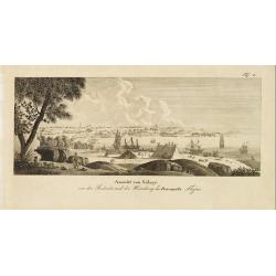
Ansicht von Sidney von der Südseite, und der Mündung des Parramatta Flusses
General view of Sydney, shown from the Parranatta River estuary.
Date: 1720
Selling price: ????
Please login to see price!
Sold
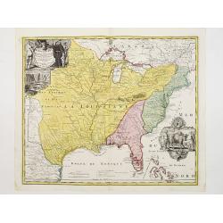
Amplissimae Regionis Mississipi,.. Provinciae Ludovicianae..
Attractive map of present-day U.S. from Nouveau Mexico to the Atlantic, centering on the French province of Louisiana, with the English colonies and Spanish Florida indic...
Date: Nuremberg 1720
Selling price: ????
Please login to see price!
Sold
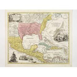
Regni Mexicani seu Novae Hispaniae, Floridae, Novae ..
The map shows the eastern sea board of America, the West Indies and the various estates and countries that border the Gulf of Mexico, with decorative -uncolored- cartouch...
Date: Nuremberg 1720
Selling price: ????
Please login to see price!
Sold
Totius Americae Septentrionalis et Meridionalis..
Richly ornamented map of North and South America. Title cartouche bottom left is copied from De Fer's map of 1699 and cartouche containing text (top left) is based on De ...
Date: Nuremberg 1720
Selling price: ????
Please login to see price!
Sold
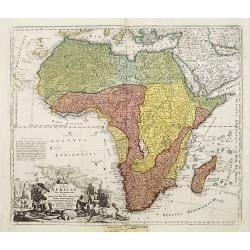
Totius Africae nova repraesentatio..
Richly ornamented map of Africa and the Arabia Peninsula. With an extraordinary delineation of the Nile which is based partly on Ptolemy (rising in two large lakes, Zaire...
Date: Nuremberg 1720
Selling price: ????
Please login to see price!
Sold
![Nova Helvetiae tabula geographica [Sheet 1 of 4]](/uploads/cache/17583-250x250.jpg)
