Browse Listings
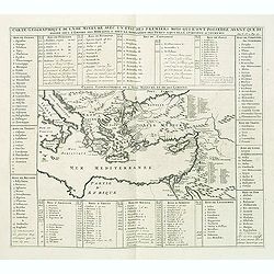
Carte geographique de l'Asie mineure avec un etat des premiers rois. . .
Map of the Mediterranean. This impressive engraving is a wonderful example of Chatelain’s elegant plates from his "Atlas Historique, Ou Nouvelle Introduction A Lâ€...
Date: Amsterdam, ca. 1720
Selling price: ????
Please login to see price!
Sold in 2012
Gouvernement des etats des sept provinces Unies. . .
Print showing the infrastructure of the Dutch government, including the government of the separate provinces and the government of the state. The plate is adorned with a ...
Date: Amsterdam, ca. 1720
Selling price: ????
Please login to see price!
Sold in 2012
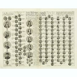
Carte historique & chronologique pour servir Ă l'histoire des Provinces-Unies des Pais-Bas. . .
Showing the genealogy of the ruling families of Europe who were allied with Holland at the beginning of the eighteenth century. Highly decorative, this impressive genealo...
Date: Amsterdam, ca. 1720
Selling price: ????
Please login to see price!
Sold in 2012
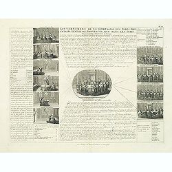
Gouvernement de la Compagnie des Indes Orientales tant en ces Provinces que dans les Indes.
This impressive engraving is a wonderful example of Chatelain’s elegant plates from his "Atlas Historique, Ou Nouvelle Introduction A L’Histoire …", Tom 4...
Date: Amsterdam, ca. 1720
Selling price: ????
Please login to see price!
Sold in 2012
Parte Alpestre dello Stato di Milano, con il Lago Maggiore di Lugano, e di Como.
Highly detailed copper engraved map of the Lago Maggiore, Lago di Lugano, and Lago di Como area. Includes the cities of Bergamo, Milano, Como, Arona, Bellinzona, Locarno,...
Date: Amsterdam, c1720
Selling price: ????
Please login to see price!
Sold
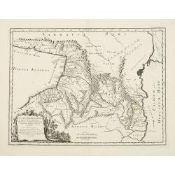
Colchis, Iberia, Albania..
Uncommon map covering the area in-between the Caspian Sea and the Black Sea. With decorative cartouche lower left.
Date: Amsterdam, 1720
Selling price: ????
Please login to see price!
Sold in 2012
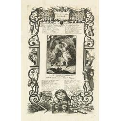
Nieuw-jaars geschenk, met narren paarde muskus geparfumeerd opgedraagen aan de geld-godin Pecunia door de actie-prins of viceroy van Plutus, in zyn niewe schuilhoek zyn wanhebbelyke liefde koesterende.
Page taken from "Het groote tafereel der dwaasheid : vertoonende de opkomst, voortgang en ondergang der actie, bubbel en windnegotie, in Vrankryk, Engeland, en de Ne...
Date: Amsterdam, 1720
Selling price: ????
Please login to see price!
Sold in 2012
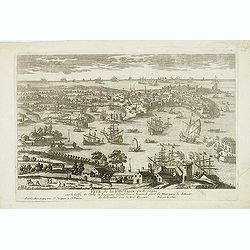
Veue de la Ville de Cadix en Espagne. . .
A very RARE panoramic of the city of Cadiz.Engraved by Pierre Aveline (Paris, c.1656 - 23 May 1722). He was also a print-publisher and print-seller. He probably trained ...
Date: Paris, 1690-1720
Selling price: ????
Please login to see price!
Sold in 2012
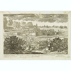
Rozes, Ville de Catalogne par l'Armée du Roy Louis le Grand sur les Espagnols.
A very RARE panoramic of the city of Rozes.Engraved by Pierre Aveline (Paris, c.1656 - 23 May 1722). He was also a print-publisher and print-seller. He probably trained ...
Date: Paris, 1690-1720
Selling price: ????
Please login to see price!
Sold
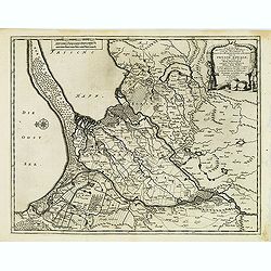
Les trois isles appellées. . . Dantzic Marienbourg et Elbing dans la Prusse Royale. . .
Fine and uncommon map including the town of Danzig and the region south of it. East to the top.From van der Aa's very rare work La galerie agréable du Monde. Very attrac...
Date: Leiden, 1720
Selling price: ????
Please login to see price!
Sold in 2015
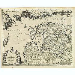
La Lavonie Avec les frontieres de Courlande et de Finlande . . .
Fine and uncommon map showing already quite accurate Livonia, Eastland and Curland. Many villages and towns are named.In the upper part the coast line of Finland.From van...
Date: Leiden, 1720
Selling price: ????
Please login to see price!
Sold in 2012
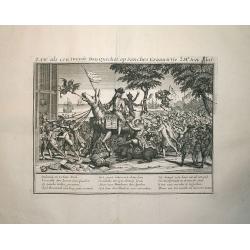
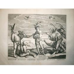
Law, als een tweede Don Quichot, op Sanches Graauwtje..
This engraving is from the important account of one the most infamous financial meltdowns in history, known as the Mississippi Bubble incident. This engraved view is titl...
Date: Amsterdam, 1720
Selling price: ????
Please login to see price!
Sold in 2012
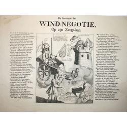
Wind-Negotie, op zijn Zeegekar.
This engraving is from the important account of one the most infamous financial meltdowns in history, known as the Mississippi Bubble incident. This engraved view is titl...
Date: Amsterdam, 1720
Selling price: ????
Please login to see price!
Sold in 2012
De Actiewereld op haar einde.
This engraving is from the important account of one the most infamous financial meltdowns in history, known as the Mississippi Bubble incident. This engraved view is titl...
Date: Amsterdam, 1720
Selling price: ????
Please login to see price!
Sold in 2012
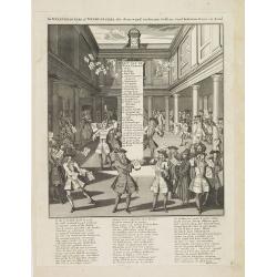
De windverkopers of Windvangers, die door wind, verliezen Geld. . .
Decorative print satirizing the stock exchange business after it collapse in the beginning of the 18th century, that led to the complete ruin of many of over-eager French...
Date: Amsterdam, 1720
Selling price: ????
Please login to see price!
Sold in 2017
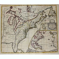
A new map of the English Empire in America. . .
This fine English map of eastern North America including Canada engraved by John Harris and first published by Robert Morden. John Senex acquired and made minor alteratio...
Date: London, 1720
Selling price: ????
Please login to see price!
Sold in 2013
Carte Heraldique representant les armes de l'emperereur. . .du Saint Empire Romain.
This impressive engraving of heraldic arms of the Holy Roman Empire is a wonderful example of Chatelain’s elegant plates from his "Atlas Historique, Ou Nouvelle In...
Date: Amsterdam, ca. 1720
Selling price: ????
Please login to see price!
Sold in 2012
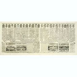
Carte généalogique des branches naturelles ou du coté gauche de la maison des Bourbons. . .
Interesting sheet with an impressive engraving ornamented with numerous vignettes representing French castles of Meudon, Versailles, St. Germain en Laye and Fontaine Blea...
Date: Amsterdam, ca. 1720
Selling price: ????
Please login to see price!
Sold in 2012
Carte générale des états du Czar Empereur de Moscovie ou l'on voit . . .
General map of Russia of the states of the Czar Emperor of Muscovy showing his possessions in Europe and Asia. To the left and right explanatory panels with coats of arms...
Date: Amsterdam, ca. 1720
Selling price: ????
Please login to see price!
Sold in 2012
Carte pour servir d'introduction Ă l'histoire romaine . . .
Map of the ancient Roman Empire. This impressive engraving is a wonderful example of Chatelain’s elegant plates from his "Atlas Historique, Ou Nouvelle Introductio...
Date: Amsterdam, ca. 1720
Selling price: ????
Please login to see price!
Sold in 2012
Nouvelle carte généalogique des branches du coté gauche de la maison de valois . . .
This impressive engraving is a wonderful example of Chatelain’s elegant plates from his "Atlas Historique, Ou Nouvelle Introduction A L’Histoire …", Tom 7...
Date: Amsterdam, ca. 1720
Selling price: ????
Please login to see price!
Sold in 2012
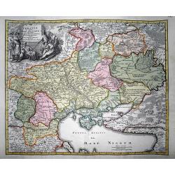
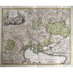
Ukrania quae et Terra Cosaccorum cum vicinis Walachiae, Moldaviae, Minorisq., Tartariae Provinciis exhibita.
Very decorative copper engraved map of the Ukraine with the Black Sea, Sea of Azov, and Crimea. Extending from Moscow to Konstantinopel (Istanbul). Highly detailed with a...
Date: Nuremberg, 1720
Selling price: ????
Please login to see price!
Sold in 2012
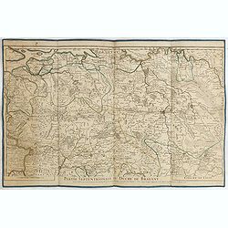
Partie septentrionale du duche de Brabant. . .
Detailed map prepared by Alex-Hubert Jaillot of the Dutch province of Brabant with the towns of 's-Hertogenbosch, Eindhoven, Helmond, Tilburg, Breda, etc. Also including ...
Date: Paris, 1720
Selling price: ????
Please login to see price!
Sold in 2015
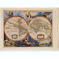
Nova Delineatio Totius Orbis Terrarum Per Petrum Vander Aa.
Originally engraved by Jacob van Meurs in 1660, and reissued here by Vander Aa, this map is based on Arnold Colom's wonderfully graphic map from the first world maritime ...
Date: Leiden, 1720
Selling price: ????
Please login to see price!
Sold in 2013
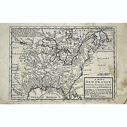
A new map of New France containing Canada, Louisiana &c. in N.th America. . .
A fine map of Canada, Great Lakes and most of South east New Foundland. For this edition the London meridian is used with Deg.West from London and Deg.East from London en...
Date: London, c. 1720
Selling price: ????
Please login to see price!
Sold in 2013
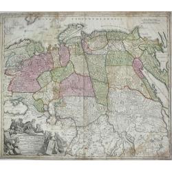
Generalis Totius Imperii Russorum Novissima Tabula.
Highly detailed map of Imperial Russia, at the beginning of the period when Russia was exploring the Pacific Ocean and Arctic Seas. Depicts Russian Empire and northern Ch...
Date: Nuremberg, 1720
Selling price: ????
Please login to see price!
Sold in 2013
Ukrania quae et Terra Cosaccorum cum vicinis Walachiae, Moldaviae, Minorisq., Tartariae Provinciis exhibita.
Rare and very decorative copper engraved map of the Ukraine with the Black Sea.
Date: Nuremberg, 1720
Selling price: ????
Please login to see price!
Sold in 2013
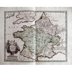
GALLIA VETUS EX IULII CAESARIS...
Interesting map of ancient France. Includes Switzerland and Benelux. With a decorative title cartouche and contemporary hand coloring.
Date: Nuremberg, c1720
Selling price: ????
Please login to see price!
Sold in 2013
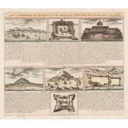
Vue et Description de quelques-uns des principaux forts des Hollandois dans les Indes.
This impressive engraving is a wonderful example of Chatelain’s elegant plates.Ornamented with numerous vignettes representing some of the Dutch settlements in the East...
Date: Amsterdam, c.1720
Selling price: ????
Please login to see price!
Sold in 2013
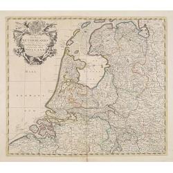
The Dutch Netherlands or the seven United Provinces. . .
Fine map of The Netherlands with decorative title cartouche. Engraved by S.Parker. Revised by John Senex.John Senex's A New General Atlas of the World was, strangely the ...
Date: London, 1720
Selling price: ????
Please login to see price!
Sold in 2013
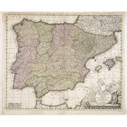
Hispaniarum Portugalliae que coronarum..
Detailed map of Spain and Portugal with large uncolored title cartouche.
Date: Amsterdam, 1720
Selling price: ????
Please login to see price!
Sold in 2025
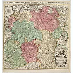
Ducatus Brabantiae, complrctens dominia Lovanii, Bruxellarum, Antverpia. . . / Carte du Brabant. . .
Covens & Mortier's map of Brabant, based upon De L'Isle's map of 1700. The North is orientated to the top side of the map. On the lower right a cartouche decorated wi...
Date: Amsterdam, 1720
Selling price: ????
Please login to see price!
Sold in 2013
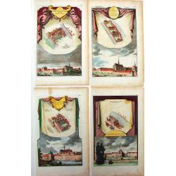
Four Town Plans of Dutch Monastaries.
Unique, detailed, hand-colored plans of Monasteries in Holland. Jan Goeree produced these in about 1720.Jan Goeree (1670-1730) was a painter, draughtsman, engraver, and e...
Date: Amsterdam, 1720
Selling price: ????
Please login to see price!
Sold in 2015
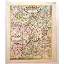
Partie Occidentale du Temporel de L'Archevesche et Eslectorat de Treves
Detailed map of Germany and part of Luxemburg. Figurative title cartouche with two putti as well as a ribboned scale cartouche. Nicolas Sanson (1600–1667) was a French...
Date: Paris, 1696 - 1720
Selling price: ????
Please login to see price!
Sold in 2013
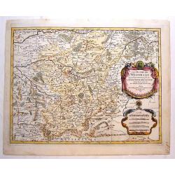
Le Duche de Westphalie.
An Interesting map featuring the Duchy of Westfalen. With two, large, super decorative cartouches with two putti and an exraordinary compass rose. Nicolas Sanson (1600–...
Date: Paris, 1696 - 1720
Selling price: ????
Please login to see price!
Sold in 2015
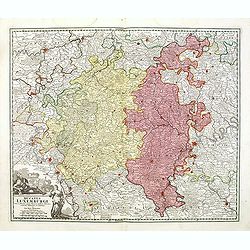
Ducatus Luxemburgi tam in Maiores quam Minores . . .
Fine map of Luxembourg by J. B. Homann. With one decorative cartouche in lower left corner.
Date: Nuremberg, ca. 1720
Selling price: ????
Please login to see price!
Sold in 2014
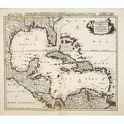
Insulae Americanae Nempe: Cuba, Hispaniola, Iamaica, Pto Rico, Lucania, Antillae vulgo Caribe, Barlo-et Sotto-Vento Etc. . . .
A rare re-issue of the plate by Danckerts. The West Indies with the gulf of Mexico and Florida. The map shows prominently in the center Cuba, Haiti, the Bahamas and Flori...
Date: Amsterdam, 1720
Selling price: ????
Please login to see price!
Sold in 2013
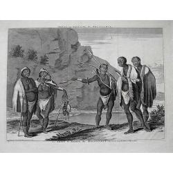
Dracht en Wapening der Hottentots.
Large format view of "Hottentots" in traditional clothing and armed with spear and bow. Located at the Cape of Good Hope. Title below the view: "Les Armes ...
Date: Leiden, c1720
Selling price: ????
Please login to see price!
Sold in 2013
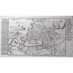
Marseille oder Marsilien.
Very detailed German plan of Marseille and environs, with the harbor and fortifications. With extensive information to the left, and a 26 letter key locating important bu...
Date: Augsburg, c1720
Selling price: ????
Please login to see price!
Sold in 2013
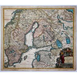
Regni Sueciae in Omnes Suas Subjacentes.
Large, detailed, hand-colored map featuring Sweden, Finland, Eastern Russia and Northern Poland, Lithuania, Latvia & Estonia. Fine allegorical title cartouche with fo...
Date: Nuremberg, 1720
Selling price: ????
Please login to see price!
Sold in 2017
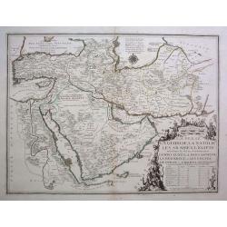
La Perse, La Georgie, La Natolie, Les Arabies, L'Egipte et le Cours du Nile. .
A scarce regional map showing the Asian territories of Ottoman Empire with emphasis on the course of river Nile. The map has an elaborate cartouche showing the ethnic pop...
Date: Paris, c 1720
Selling price: ????
Please login to see price!
Sold in 2013
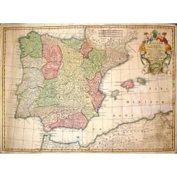
Hispania ex Archetypo Roderici Mendez Sylvae.
Striking copperplate map of Spain & Portugal. Decorative allegorical cartouche with an older man's head and two white horses. The Lotter family were engravers and pub...
Date: Augsburg, 1720
Selling price: ????
Please login to see price!
Sold in 2014
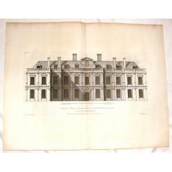
The Elevation of Althrop in Northampton Shire.
Fine copper engraving of Althrop, the seat of the Right Honorable Earl of Sunderland. Included in the famous architectural publication, "Vitruvious Britannicus"...
Date: London, 1720
Selling price: ????
Please login to see price!
Sold in 2016
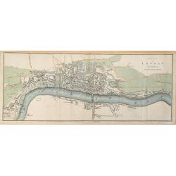
Plan of London in the reign of Queen Elizabeth.
Plan of London in the reign of Queen Elizabeth 1st 1546. This delicately hand colored early map of London is highly detailed. This map dated 1720 by James Stratford of Ho...
Date: London, 1720
Selling price: ????
Please login to see price!
Sold in 2014
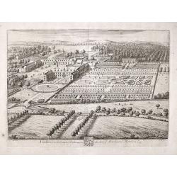
Southwick in the County of Southampton Seat of Richard Norton Esq.
Engraved by Joannes Kip after the drawing by Leonard Knyff. Plate 74 from "Britannia Illustrata or Views of Several of the Queens Palaces and also of the Principal S...
Date: London, 1720
Selling price: ????
Please login to see price!
Sold in 2017
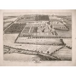
Brightwel in the County of Suffolk the seat of the Honourable Sir Barnardiston Barr.
Brightwel in the County of Suffolk the seat of the Honourable Sir Barnardiston Barr. Plate 52 from "Britannia Illustrata or Views of Several of the Queens Palaces...
Date: London, 1720
Selling price: ????
Please login to see price!
Sold in 2017
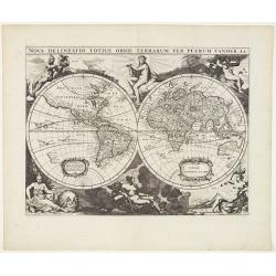
Nova delineatio Orbis Terrarum..
Very decorative with double hemispheres surrounded by six figures representing earth, fire, water, day, and night. It Shows California as an island. Based on Colom's rare...
Date: Leiden, 1720
Selling price: ????
Please login to see price!
Sold in 2013
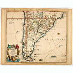
Carte du Paraguay, du Chili, du Detroit de Magellan &c.
A finely engraved, detailed map of the southern half of South America. Prepared by de l'Isle.
Date: Amsterdam, 1720
Selling price: ????
Please login to see price!
Sold in 2014
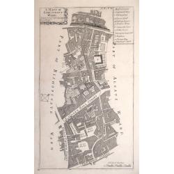
A MAPP OF LIME STREET WARD. TAKEN FROM YE LAST SURVEYS & CORRECTED.
An eighteenth-century plan of Lime Street Ward in the heart of the City of London. The area covered extends north from Fenchurch Street across Leadenhall Street and via S...
Date: London, 1720
Selling price: ????
Please login to see price!
Sold in 2014
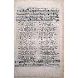
William and Margaret - A Ballad.
Very unusual musical sheet with text, by David Mallet. Famous ballad from around 1720. Only few examples are known! We could only locate holdings in the British Museum.
Date: unknown, ca. 1720
Selling price: ????
Please login to see price!
Sold in 2014
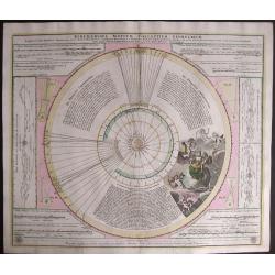
Ephemerides Motuum Coelestium Geometricae.
A fine and decorative celestial chart, describing the orbit of the planets in the Copernican Solar system. The central diagram represents the solar system, with the Sun a...
Date: Nuremberg, 1720
Selling price: ????
Please login to see price!
Sold in 2014
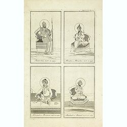
Tamberlan, mort en 1405. - Miracha ou Miraschae, mort en 1451. - Mohamed ou Miramont mort en 1451. - Abuchaid ou Abuzaid mort en 1469.
Striking and highly detailed copper engraved plate including 4 Indian princes or kings. From Chatelain's Atlas Historique, 1732-1739. In upper right margin: 'Tom. V. Nro ...
Date: Amsterdam, 1720
Selling price: ????
Please login to see price!
Sold in 2014
Sek ou Seich Omar, mort en 1493. Babar ou Baber ou Babour, mort en 1530. Amayum ou Houmayon, mort en 1552. Akebar ou Xa Aguebar, mort en 1605.
Striking and highly detailed copper engraved plate including 4 Indian princes or kings. From Chatelain's Atlas Historique, 1732-1739. In upper right margin: 'Tom. V. No 3...
Date: Amsterdam, 1720
Selling price: ????
Please login to see price!
Sold in 2014
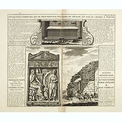
Antiquités curieuses de qui se trouvent aux environs de Smyrne, et sur le chemin d´Ephese.
Striking and highly detailed copper engraved plate showing monuments in Ephesus which was an ancient Greek city on the coast of Ionia, three kilometers southwest of prese...
Date: Amsterdam, 1720
Selling price: ????
Please login to see price!
Sold in 2014
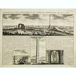
Description de la Ville d'Alexandrie et des Antiquites Remarquables qu'on y voit.
Panoramic view of the ancient Egyptian port city of Alexandria accompanied by insets of "Palais de Cleopatre" (the ruins of Cleopatra's palace), Obelisque d'Ale...
Date: Amsterdam, 1720
Selling price: ????
Please login to see price!
Sold in 2016
[. . .] rte Ancienne et Moderne des Differents Etats et Pais situez au Long du Danube, pour servir a L'Intelligence De L'His [. . .]
A striking and highly detailed copper engraved plate with a map of region north of the Adriatic Sea and centered on the Danube River, from Croatia to the Black Sea. Inclu...
Date: Amsterdam, 1720
Selling price: ????
Please login to see price!
Sold in 2014
[. . .] ur servir d'introduction Ă l'histoire Romaine et Ă celle de l'Empire, ou l'on fait observer la genealogie de cr [. . .]
A striking and highly detailed copper engraved plate with a map of the ancient Roman Empire, including Europe as far east as the Black Sea. Including descriptive text pan...
Date: Amsterdam, 1720
Selling price: ????
Please login to see price!
Sold in 2014
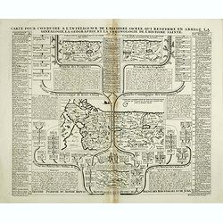
Carte pour conduire a l'inteligence de l'Histoire Sacree qui renferme en abree la genealogie, la geographie, et la chronologie de l'Histoire Sainte.
Four maps of the Holy Land on the same sheet. The main map in the middle of the sheet: "Carte de l’introduction du peuple d’Israel dans le Pais de Canaan..."...
Date: Amsterdam, 1720
Selling price: ????
Please login to see price!
Sold in 2014
Carte des pavillons accompagnée d'observations pour en faire comprendre le blazon et les différentes devises aussy bien que d'une table alphabétique pour les trouver facilement.?
Map of 88 marine flags.
Date: Amsterdam, 1720
Selling price: ????
Please login to see price!
Sold in 2014
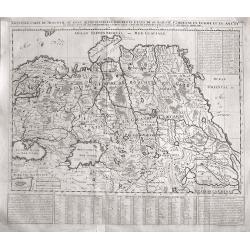
Nouvelle Carte De Moscovie Ou Sont Representes Les Differents Etats De Se Maiesete Czarienne En Europe Et En Asie...
Very detailed, large map of Russia, which, importantly, extends from the Black Sea and from the Balkans to China and the Mer De Tartarie, and hence includes a large part ...
Date: Amsterdam, 1720
Selling price: ????
Please login to see price!
Sold in 2015
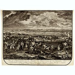
Vue et représentation de la Bataille de Chiari donnée le 1 septebre 1703. . .
Extremely fine and detailed engraving by Huchtenburg depicting the siege of Chiari (Italy) by Price Eugene on September 1st 1703.From Jean Dumont's, "Batailles gagnĂ...
Date: The Hague, Pierre Husson, 1720
Selling price: ????
Please login to see price!
Sold in 2014
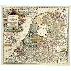
Belgii pars Septentrionalis vulgo Hollandia. . .
A large, decorative colored title cartouche at top left. In an inset -122x140mm- under the title cartouche a small map of Southeast Asia with a panoramic view of the port...
Date: Nuremberg, 1720
Selling price: ????
Please login to see price!
Sold in 2014
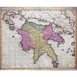
Regnum Moreae accuratissime divisum in Provincias Saccaniam, Tzaconiam, Caliscopium et Ducatum Clarensae, una cum Insulis Cephalonia, Zacyntho, Cythera, Aegina et Sidra
Uncommon map of Greece, by Gerardus Valk and Leonardus Valk in old colors.
Date: Amsterdam, circa 1720
Selling price: ????
Please login to see price!
Sold in 2017
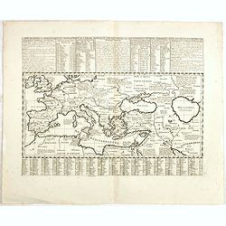
Carte historique chronologique et géographique de l'empire romain où l'on fait observer son étendue et diverses remarques pour l'intelligence de l'histoire.
Interesting sheet with a map of the Roman Empire, with descriptive French text, from Chatelain's monumental 7-volume "Atlas Historique". In upper right margin: ...
Date: Amsterdam, 1720
Selling price: ????
Please login to see price!
Sold in 2017
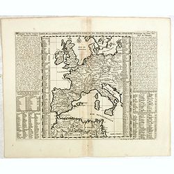
Carte de la Germanie et les différents états où ses peuples ont porté leurs conquètes.
Interesting sheet with a map of Europe, with descriptive French text, from Chatelain's monumental 7-volume "Atlas Historique". In upper right margin: 'Tome 2, N...
Date: Amsterdam, 1720
Selling price: ????
Please login to see price!
Sold in 2014
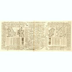
Nouvelle carte pour introduire à la géographie et à la généalogie des rois d'Angleterre et d'Ecosse avec diverses remarques pour le secours de la chronologie et de l'Histoire.
Interesting sheet with a map of the family tree for the Royal Families of Great Britain, Scotland, and France, with descriptive French text, from Chatelain's monumental 7...
Date: Amsterdam, 1720
Selling price: ????
Please login to see price!
Sold in 2015
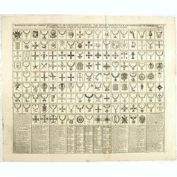
Nouvelle carte des ordres militaires ou de la chevalerie institués par divers princes pour récompenser le mérite ou la vertu par reconnaissance de quelque signalée victoire.
Interesting sheet with an illustration of all the medals awarded to the Knights, with descriptive French text, from Chatelain's monumental 7-volume Atlas "Historique...
Date: Amsterdam, 1720
Selling price: ????
Please login to see price!
Sold in 2014
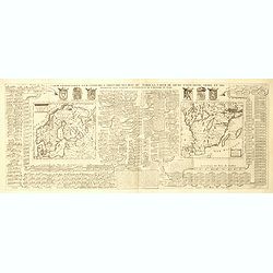
Carte généalogique pour conduire à l'histoire des rois du nord de la carte de leurs états, leurs armes et des remarques pour conduire à l'intelligence de l'histoire du nord.
Interesting sheet with a genealogical table of the Kingdoms of the Scandinavian countries with two small maps: Scandinavia and Southern Sweden, with descriptive French te...
Date: Amsterdam, 1720
Selling price: ????
Please login to see price!
Sold in 2018
Carte généalogique des rois de Navarre de Castille d'Arragon de Portugal et de Grenade, rangée en parallele avec la carte d'Espagne qui distingue les diverses situations de leurs états, leurs armes et alliances.
Interesting sheet with a map of Spain and Portugal and a genealogical tree of the kings of Castile and Navarre, with descriptive French text, from Chatelain's monumental ...
Date: Amsterdam, 1720
Selling price: ????
Please login to see price!
Sold in 2014
Carte généalogique des branches naturelles du coté gauche de la maison de Bourbon accompagnée des armes et alliances
Interesting sheet with an impressive engraving ornamented with numerous vignettes representing French castles of Meudon, Versailles, St. Germain en Laye and Fontaine Blea...
Date: Amsterdam, 1720
Selling price: ????
Please login to see price!
Sold in 2014
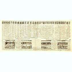
Nouvelle carte généalogique des branches du coté gauche de la maison Valois.
Interesting sheet with a map of the family tree of the house of Valois. In lower part views of les Invallides, Trianon, Versailles, St.Cloud and descriptive French text, ...
Date: Amsterdam, 1720
Selling price: ????
Please login to see price!
Sold in 2022
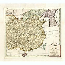
La Chine avec La Corée et les parties de la Tartarie les plus voisines..
Fine map of China, Korea and Taiwan (named as Tayouan ou Formose I.). Prepared after Jesuit sources from 1708-1717.The map is of interest for the use of Kao-Liqoue ou Roy...
Date: Paris, 1720
Selling price: ????
Please login to see price!
Sold in 2023
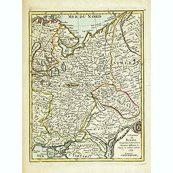
L'Empire de Russie Comprenant la Moscovie, le Royaume la Moscovie. . . 1769.
Uncommon map of Russia. Engraved by Jean Crepy (the father) who was active as an engraver and publisher at the end of the 17th and beginning of the 18th century. He was a...
Date: Paris, 1690-1720
Selling price: ????
Please login to see price!
Sold in 2014
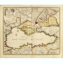
Nouvelle Carte de la Mer Noire et du Canal de Constantinope.
Decorative and uncommon map of the Black Sea region. In the upper left-hand corner is an inset map (200x280) of the Bosporus including Istanbul.
Date: Amsterdam, 1680, 1720
Selling price: ????
Please login to see price!
Sold in 2014
Russia Alba, sive Moscovia, regio valde extensa, divisaque in Regna, Ducatus, Principatus, et Provincias, cum adjacentibus Regnis . . .
Scarce map of European Russia, including Ukraine. Extending to the east, showing some portion of the Tartar and Mongol regions.
Date: Amsterdam, 1720
Selling price: ????
Please login to see price!
Sold in 2014
Tabula Novissima Totius Germaniae praecipuè ex Designatione Viri celeberrimi Dni Johannis Caspari Eisenschmidii 1711.
Folding wall map of Greater Germany, with cartouche of imperial German double-headed eagle, putti and instruments, and female figure (royal or allegorical).Extremely Rare...
Date: Nurnberg, 1720
Selling price: ????
Please login to see price!
Sold in 2020
Carte pour l'itelligence de l'histoire dAngleterre où on remarque les conquètes de cette monarchie dans la plupart des états de l'europe, les droits sur lesquels sont fondées ses prétentions sur la monarchie française ou sur divers états...
Interesting sheet with historical and genealogical copper engraving, extracted from the historical atlas: introduction to the history, chronology, ancient and modern geog...
Date: Amsterdam, 1720
Selling price: ????
Please login to see price!
Sold in 2021
Carte des différents colleges de l'Empire, l'ordre de l'élection du sacre et du couronnement de l'Empereur.
Interesting sheet with an illustration of the various colleges of the German Empire, the order of the election and coronation of the coronation of the Emperor, with descr...
Date: Amsterdam, 1720
Selling price: ????
Please login to see price!
Sold in 2020
Ducatus Luneburgici et Comitatus Dannebergensis.
Map of the Principality of LĂĽneburg and the County of Dannenberg. Top right detailed title cartouche with coat of arms, knights and rulers representation. In addition, P...
Date: Nuremberg, 1720
Selling price: ????
Please login to see price!
Sold in 2018
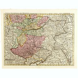
Partie Meridionale de Moscovie. . .
Centered on Moscow including Azow and part of present-day Ukraine in the bottom part of the map. The map is based on Delisle's important map of the region with revisions ...
Date: Amsterdam, 1720
Selling price: ????
Please login to see price!
Sold in 2018


![[. . .] rte Ancienne et Moderne des Differents Etats et Pais situez au Long du Danube, pour servir a L'Intelligence De L'His [. . .]](/uploads/cache/34428-250x250.jpg)
![[. . .] ur servir d'introduction Ă l'histoire Romaine et Ă celle de l'Empire, ou l'on fait observer la genealogie de cr [. . .]](/uploads/cache/34429-250x250.jpg)
