Browse Listings
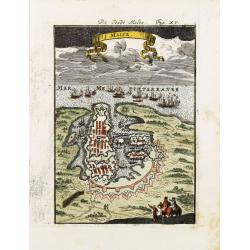
Malte.
A charming late 17th century French plan of La Valletta. With a ribbon style title cartouche and a nautical sailing ship scene across the top.By Allain Manneson Mallet (1...
Date: Franckfurt 1684
Selling price: ????
Please login to see price!
Sold
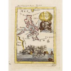
Les Isles Philippines 1684.
A charming late 17th century French map of the Philippines with a large pictorial cartouche depicting a mermaid with sea horses, a nautical sailing ship scene across the ...
Date: Franckfurt 1684
Selling price: ????
Please login to see price!
Sold
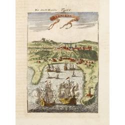
Manille.
A charming late 17th century French bird's-eye view of Manila and its harbour. With a ribbon style title cartouche and a nautical sailing ship scene on the bottom.By Alla...
Date: Franckfurt 1684
Selling price: ????
Please login to see price!
Sold
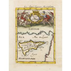
Isles de Cypre.
A charming late 17th century French map of Cyprus with a large pictorial cartouche depicting an infantry combat.By Allain Manneson Mallet (1630-1706), a well traveled mil...
Date: Franckfurt 1684
Selling price: ????
Please login to see price!
Sold
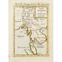
Inde Ancienne A L'Orient Du Gange.
A charming late 17th century French map of the area east of Ganges River, covering Myanmar, Thailand, Cambodia, Laos, Vietnam, part of Malaysia and Sumatra.By Allain Mann...
Date: Franckfurt 1684
Selling price: ????
Please login to see price!
Sold
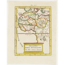
Ancienne Libye Interieure. . .
A charming map of the inland part of Libya with a colorful architectural title cartouche.German title in curtain draped at top. No text on verso.From the German text edit...
Date: Frankfurt, 1684
Selling price: ????
Please login to see price!
Sold in 2012
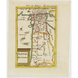
Egypte Ancienne. . .
A charming map of ancient Egypt with a colorful title architectural cartouche.German title in curtain draped at top. No text on verso.From the German text edition publish...
Date: Frankfurt, 1684
Selling price: ????
Please login to see price!
Sold in 2008
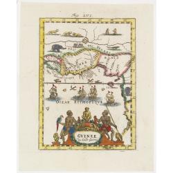
Guinee . . .
A charming map of Guinee with hand painted borderlines and a colorful ornamental title cartouche of two male figures , one holding a parrot, the other a spear that are su...
Date: Frankfurt, 1684
Selling price: ????
Please login to see price!
Sold in 2008
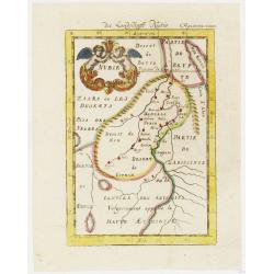
Nubie . . .
A charming map of Nubia which was considered part of the Abyssinian Empire referred to as upper Ethiopia with a colorful title cartouche of two putties holding a burst of...
Date: Frankfurt, 1684
Selling price: ????
Please login to see price!
Sold in 2012
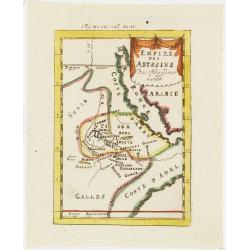
Empire des Abyssins. . .
A charming map of he Abyssinian Empire referred to as Nubia with a colorful title banner.German title in curtain draped at top. No text on verso.From the German text edit...
Date: Frankfurt, 1684
Selling price: ????
Please login to see price!
Sold in 2012
Zaara le Desert . . .
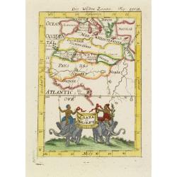
A charming map of the northwestern part of Africa with colored borderlines and a beautiful colorful title banner upheld by two male figures seated on two elephants, one h...
Date: Frankfurt, 1684
Selling price: ????
Please login to see price!
Sold in 2008
Pays des negres. . .
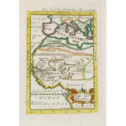
A charming map of western Africa with colored borderlines and scale in addition to a colorful ornamental title cartouche in lower right corner.German title in curtain dra...
Date: Frankfurt, 1684
Selling price: ????
Please login to see price!
Sold in 2008
Derr weg der carovane von Maroc nach Mecha et nach Quibriche . .
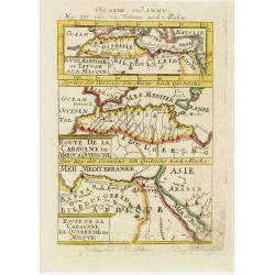
A charming map of the Route to Mecca from Africa to the Middle East divided into three horizontal detailed route maps with the names of colored towns and coastlines. The ...
Date: Frankfurt, 1684
Selling price: ????
Please login to see price!
Sold in 2008
Source du Nil. . .
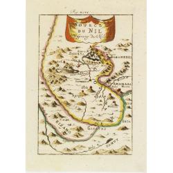
A charming map of the source of the river Nile. The river are colored along with a colorful title banner.German title in curtain draped at top. No text on verso.From the ...
Date: Frankfurt, 1684
Selling price: ????
Please login to see price!
Sold in 2011
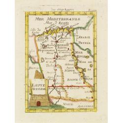
Egypte Moderne. . .
A charming map of Egypt with colored borders and a colorful title cartouche of a stone pyramidal structure in construction.German title in curtain draped at top. No text ...
Date: Frankfurt, 1684
Selling price: ????
Please login to see price!
Sold in 2011
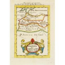
L'Empire du Cherif de Fez Maroc Sud & C. . .
A charming map of Morocco with colored coastlines and a beautiful colorful title cartouche.German title in curtain draped at top. No text on verso.From the German text ed...
Date: Frankfurt, 1684
Selling price: ????
Please login to see price!
Sold in 2008
I. Goree [Ialoffes Royaume]
A charming map featuring a bird's eye view of Island of Goree with hills, dwellings and trees on the island, four ships at sea heading towards the island, and coastal Ara...
Date: Franckfurt, 1684
Selling price: ????
Please login to see price!
Sold in 2008
Isle de Zocotora [Die Insel Zocotora]
A charming map featuring a bird's eye view of Socotra with hills, dwellings and trees on the island, two naval battles with cannons firing at sea, and coastal Arabia and ...
Date: Frankfurt, 1684
Selling price: ????
Please login to see price!
Sold in 2008
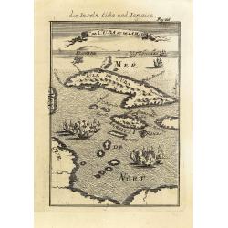
I.de Cuba et de Jamaica.
Map showing the islands of Cuba and Jamaica. The map is inserted in a prospective view of the Caribbean Sea, where some vessels are involved in a naval combat.From the Fr...
Date: Frankfurt, 1684
Selling price: ????
Please login to see price!
Sold in 2013
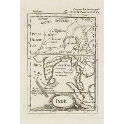
Inde.
A charming late 17th century French map of India, Malay Peninsular with a decorative title cartouche.By Allain Manneson Mallet (1630-1706), a well traveled military engin...
Date: Frankfurt, 1684
Selling price: ????
Please login to see price!
Sold in 2008
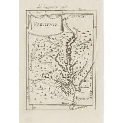
Virginie.
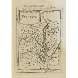
Charming miniature map of the Chesapeake Bay region locating the colony at Jamestown and the village of Pomejok.Several Indian tribes named including Powhatan. Title in c...
Date: Frankfurt, 1684
Selling price: ????
Please login to see price!
Sold in 2008
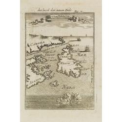
Isle de Terre Neuve.
Charming map centered on the island of Newfoundland, covering also the land around the St. Lawrence Gulf. Embellished with 6 sailing ships and hills in the Labrador area....
Date: Frankfurt, 1684
Selling price: ????
Please login to see price!
Sold in 2008
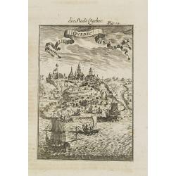
Quebec.
A charming late 17th century French view of Quebec.From the German text edition published by Davis Zunners. Allain Manneson Mallet (1630-1706), a well travelled military ...
Date: Franckfurt, 1684
Selling price: ????
Please login to see price!
Sold in 2008
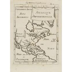
Amerique Septentrionale.
A charming late 17th-century French map of North America, showing California to 40 degrees North and labeled I.Calfornie.From the German text edition published by Davis Z...
Date: Frankfurt, 1684
Selling price: ????
Please login to see price!
Sold in 2008
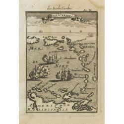
Isles Caribes.
Very handsome map of the Caribbean, extending to include the shores of South America. The map is inserted in a prospective view of the Caribbean Sea, where some vessels a...
Date: Frankfurt, 1684
Selling price: ????
Please login to see price!
Sold in 2008
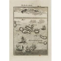
Isles Açores.
Charming map of the Azores islands shown in a perspective view of the Atlantic ocean and embellished with fighting ships just off shores.From the French text edition of D...
Date: Frankfurt, 1684
Selling price: ????
Please login to see price!
Sold in 2008
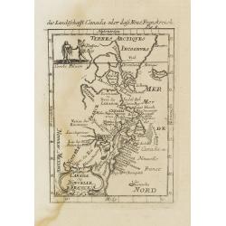
Canada ou Nouvelle France.
A strange early depiction of the Eastern Seaboard, from Terres Arctiques Incognues to Virginie, including also an outline of the Great Lakes. Native Indians appear at the...
Date: Frankfurt, 1684
Selling price: ????
Please login to see price!
Sold in 2008
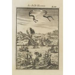
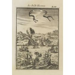
Havana.
Handsome view of the Havana harbour, assaulted by several vessels. Title garland on top.From the French text edition of Description d'Univers, 1683. by Allain Manneson Ma...
Date: Frankfurt, 1684
Selling price: ????
Please login to see price!
Sold in 2008
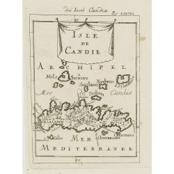
Isle de Candie.
A charming late 17th century French map of Crete and surrounding islands.By Allain Manneson Mallet (1630-1706), a well traveled military engineer and geographer who worke...
Date: Frankfurt, 1684
Selling price: ????
Please login to see price!
Sold in 2009
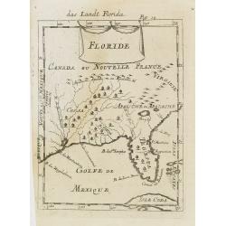
Floride. / Das Landt Florida.
A charming late 17th century French map of Florida, Virginia, Louisiana. Tegesta is the name given to the Florida peninsula.The map has little detail, Virginia is above t...
Date: Frankfurt, 1684
Selling price: ????
Please login to see price!
Sold in 2008
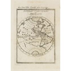
Nouveau Continent ou Amerique.
Attractive map of the western hemisphere showing the American continent and large part of the Pacific ocean. It outlines the coasts of Australia and Antarctica according ...
Date: Frankfurt, 1684
Selling price: ????
Please login to see price!
Sold in 2008
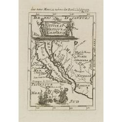
Nouveau Mexique et Californie.
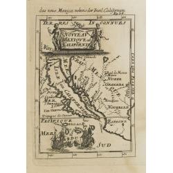
A charming late 17th century French map of California, Nueva Granada and Nouvelle Espagne. California with flat northern coast, labeled Isle de Calfornie. A unique projec...
Date: Frankfurt, 1684
Selling price: ????
Please login to see price!
Sold in 2008
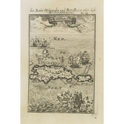
I.d'Hispaniola et Pto Rico.
Map showing the islands of St. Domingo and Puerto Rico. The map is inserted in a prospective view of the Caribbean Sea, where some vessels are involved in a naval combat....
Date: Frankfurt, 1684
Selling price: ????
Please login to see price!
Sold in 2008
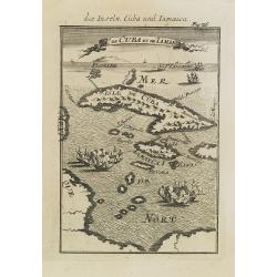
I.de Cuba et de Jamaica.
Map showing the islands of Cuba and Jamaica. The map is inserted in a prospective view of the Caribbean Sea, where some vessels are involved in a naval combat.From the Fr...
Date: Frankfurt, 1684
Selling price: ????
Please login to see price!
Sold in 2008
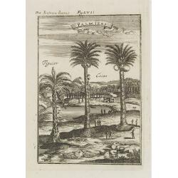
Palmiers.
A fine 17th century depiction of a palm, coconut and a fig tree plantation .From the French text edition of Description d'Univers, 1683. by Allain Manneson Mallet (1630-1...
Date: Frankfurt, 1684
Selling price: ????
Please login to see price!
Sold in 2009
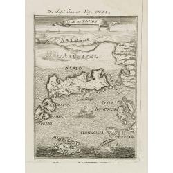
Isle de Samos.
A charming late 17th century map of the Samos Island. Samos is a Greek island in the North Aegean sea, south of Chios, north of Patmos and the Dodecanese, and off the Ion...
Date: Frankfurt, 1684
Selling price: ????
Please login to see price!
Sold in 2010
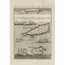
I. de Nicaria et Patmos.
A charming late 17th century map of the Island of Nicaria and Patmos. Located on the eastern borderline of the Aegean Sea, Patmos is the northernmost island of the Dodeca...
Date: Frankfurt, 1684
Selling price: ????
Please login to see price!
Sold in 2011
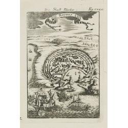
Rhodes.
A charming late 17th century map of the city of Rhodes. By Allain Manneson Mallet (1630-1706), a well traveled military engineer and geographer who worked in 17th century...
Date: Frankfurt, 1684
Selling price: ????
Please login to see price!
Sold in 2008
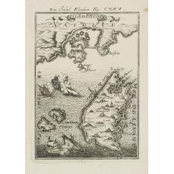
Isles de Rhodes.
A charming late 17th century map of the Islands of Rhodes. By Allain Manneson Mallet (1630-1706), a well traveled military engineer and geographer who worked in 17th cent...
Date: Frankfurt, 1684
Selling price: ????
Please login to see price!
Sold in 2009
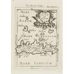
Isle de Crete.
A charming late 17th century map of the Island of Crete. By Allain Manneson Mallet (1630-1706), a well traveled military engineer and geographer who worked in 17th centur...
Date: Frankfurt, 1684
Selling price: ????
Please login to see price!
Sold in 2008
Isle de la Sonde vers L\'Orient. [Moluccan Islands]
A charming late 17th century map of the Moluccas Islands. By Allain Manneson Mallet (1630-1706), a well traveled military engineer and geographer who worked in 17th centu...
Date: Frankfurt, 1684
Selling price: ????
Please login to see price!
Sold in 2008
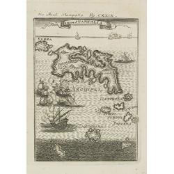
Isle de Stampalia.
A charming late 17th century map of the Stampalia Island. Stampalia is a Greek island which belongs to the Dodecanese, an island group of twelve major islands in the sout...
Date: Frankfurt, 1684
Selling price: ????
Please login to see price!
Sold in 2011
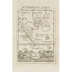
Isles de Maldives.
A charming late 17th century French map of the Maldives Islands.From the German text edition published by Davis Zunners. Allain Manneson Mallet (1630-1706), a well travel...
Date: Frankfurt, 1684
Selling price: ????
Please login to see price!
Sold in 2011
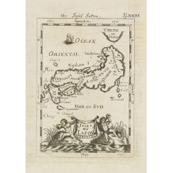
Isles du Japon. / Die Insel Japon.
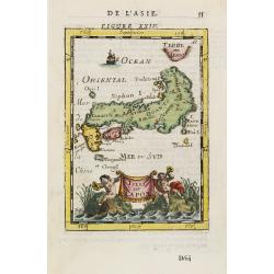
A charming late 17th century French map of the islands of Japan with a very decorative title cartouche showing trumpet-blowing cherubs.From the German text edition publis...
Date: Frankfurt, 1684
Selling price: ????
Please login to see price!
Sold in 2008
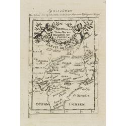
Partie de la Terre Ferme de l\'Inde ou l\'Empire du Mongol.
Map of India. From the German text edition published by Davis Zunners. Allain Manneson Mallet (1630-1706), a well traveled military engineer and geographer who worked in ...
Date: Frankfurt, 1684
Selling price: ????
Please login to see price!
Sold in 2011
Asie Moderne.
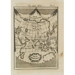
A charming late 17th century French map of Asia.From the German text edition published by Davis Zunners. Allain Manneson Mallet (1630-1706), a well traveled military engi...
Date: Frankfurt, 1684
Selling price: ????
Please login to see price!
Sold in 2008
Afrique Moderne.
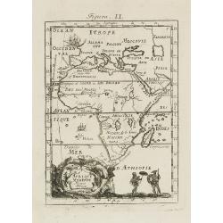
A charming late 17th century French map of Africa. From the German text edition published by Davis Zunners. Allain Manneson Mallet (1630-1706), a well traveled military e...
Date: Frankfurt, 1684
Selling price: ????
Please login to see price!
Sold in 2008
Pas kaart van de Zuyd kust van Cuba en van Geheel Yamaica
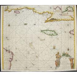
Fine sea chart covering the southern part of Cuba, all of Jamaica and the western tip of Hispaniola and a bit of the Honduras coastline Insets of "Baya Oristan in Ya...
Date: Amsterdam, c.1684
Selling price: ????
Please login to see price!
Sold in 2010
Virginie.
Charming miniature map of the Chesapeake Bay region locating the colony at Jamestown and the village of Pomejok.Several Indian tribes named including Powhatan. Title in c...
Date: Frankfurt, 1684
Selling price: ????
Please login to see price!
Sold in 2008
Nouveau Mexique et Californie.
A charming late 17th century French map of California, Nueva Granada and Nouvelle Espagne. California with flat northern coast, labeled Isle de Calfornie. A unique projec...
Date: Frankfurt, 1684
Selling price: ????
Please login to see price!
Sold in 2008
Nieuwe Paskaert, Van de Kust Van Genehoa als Medeen gedeelte van Gambia, beginnende an C. Blanco tot C. Verde, Met al syn diep ten end droogten, dus Ver Naeukeurig op gestelt.
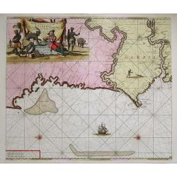
Nice chart, showing the coast of Africa, from Cabo Blanco till Cabo Verde (Dakar) and Gambia River. The Dutch firm and printing house van Keulen was one of the most impor...
Date: Amsterdam, 1684
Selling price: ????
Please login to see price!
Sold in 2009
Novissima Comitatus Zutphaniae, Totiusque Fluminis Insulae Descriptio, ex Officina Nicolai Visscher.
Map of the province of Gelderland in the Netherlands. Taken from the atlas Germania Inferior, sive XVII Provinciarum Geographicae generales ut et particulares tabulae. Ka...
Date: Amsterdam, 1684
Selling price: ????
Please login to see price!
Sold in 2009
[Title page ] Germania Inferior Sive XVII Provinciarum Geographicae Generales ut et particulares Tabulae. Kaert-Boeck van de XVII Nederlandtsche Provincien.
Copper engraved allegorical title page. The 17 Provinces are here personified as 17 beautiful young women, some holding the shields of the Province they represent. Other ...
Date: Amsterdam, 1684
Selling price: ????
Please login to see price!
Sold in 2009
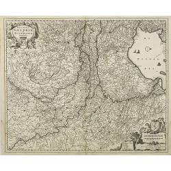
Ducatus Geldria et Zutphania Comitatus.
Map of Gelderland. West to the top. Taken from the atlas Germania Inferior, sive XVII Provinciarum Geographicae generales ut et particulares tabulae. Kaert-Boeck van de X...
Date: Amsterdam, 1684
Selling price: ????
Please login to see price!
Sold in 2009
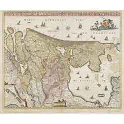
Comitatus Hollandiae Tabula Pluribus Locis Recens Emendata.
Third state of 5) of this popular map of Holland, copied by F. de Wit, J. Danckerts and C. Allard and P. Schenk up to late in the 18th century. Bottom left corner an inse...
Date: Amsterdam, 1684
Selling price: ????
Please login to see price!
Sold in 2010
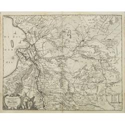
Transisalania Provincia vulgo Over-Yssel. Auctor. N. ten-Have.
Map of central part of the Netherlands with relief shown pictorially. With a decorative cartouche, showing a fisherman, typical for Claes Jansz. Visscher's maps. Prepared...
Date: Amsterdam, 1684
Selling price: ????
Please login to see price!
Sold in 2009
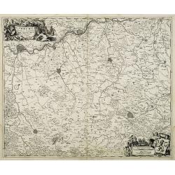
Limburgi Ducatus et Comitatus Valckenburgi Nova Descriptio Per N. Visscher.
The map describes the southern part of Limburg and reaches into Belgium (Liege, Verviers) and Germany (Aachen). The map has two decorative cartouches, etched by Mr. Romey...
Date: Amsterdam, 1684
Selling price: ????
Please login to see price!
Sold in 2018
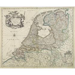
Belgium Foederatum emmendatè auctum et novissimè editum per Nicolaum Visscher.
A well detailed map of the present day Netherlands. The most southern part of Limburg in an inset, lower right corner. Taken from the atlas Germania Inferior, sive XVII P...
Date: Amsterdam, 1684
Selling price: ????
Please login to see price!
Sold in 2013
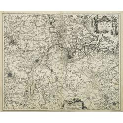
Mechlinia Dominium et Aerschot Ducatus Auctore Nicolao Visscher.
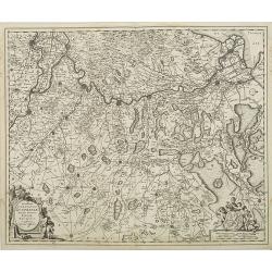
Fine decorative map of part of Belgium including the cities of Antwerp, Mechelen, Brussels, Leuven and Tienen. Taken from the atlas Germania Inferior, sive XVII Provincia...
Date: Amsterdam, 1684
Selling price: ????
Please login to see price!
Sold in 2015
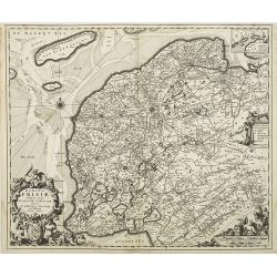
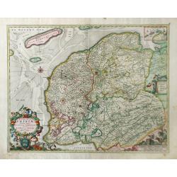
Dominii Frisae Tabula, inter Flevumrt Lavicam, Auctore B. Schotano à Sterringa. Ex Officina Nicolai Visscher.
Map of the provinces Friesland. This map was prepared by B.Schotanus à Steringa. Taken from the atlas Germania Inferior, sive XVII Provinciarum Geographicae generales ut...
Date: Amsterdam, 1684
Selling price: ????
Please login to see price!
Sold in 2010
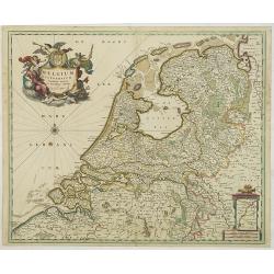
Belgium Foederatum emmendatè auctum et novissimè editum per Nicolaum Visscher.
A well detailed map of the present day Netherlands. The most southern part of Limburg in an inset, lower right corner. Taken from the atlas Germania Inferior, sive XVII P...
Date: Amsterdam, 1684
Selling price: ????
Please login to see price!
Sold in 2017
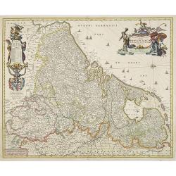
Novissima et accuratissima XVII Provinciarum Germaniae Inferior Delineatio, Ex Officina Nicolai Visscher.
Map of Belgium, the Netherlands and Luxembourg with a decorative title cartouche and cartouche of explanations and a dedication to Johan Munter. North orientated to the r...
Date: Amsterdam, 1684
Selling price: ????
Please login to see price!
Sold in 2009
Havana.
Handsome of Havana and its harbour, assaulted by several vessels. Title garland on top.From the French text edition of Description d'Univers, 1683. by Allain Manneson Ma...
Date: Frankfurt, 1684
Selling price: ????
Please login to see price!
Sold
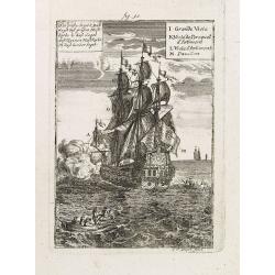
Das grosse Segel. . .
Maritime scene of a vessel with its key: J-M by Allain Manneson Mallet (1630-1706), a well traveled military engineer and geographer who worked in 17th century France und...
Date: Frankfurt, 1684
Selling price: ????
Please login to see price!
Sold in 2014
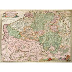
Belgii Regii Tabula, in qua omnes Provincia ab Hispanis ad Annum 1684 possessae, nec nontam a Rege Galliea quam Batavis acquifitae. . .
Beautifully colored map of present day Belgium, northern France, Luxembourg and the Netherlands from Visscher's Germania Inferior. Paris and Luxembourg are shown in the s...
Date: Amsterdam, 1677-1684
Selling price: ????
Please login to see price!
Sold in 2010
Dominii Frisia Tabula, inter Flevum et Lavicam.
Map of Friesland, a northern province of the Netherlands. The major cities of Friesland, such as Franeker, Leeuwarden and Sneek. The coat of arms of Friesland is depicted...
Date: Amsterdam, 1677-1684
Selling price: ????
Please login to see price!
Sold in 2010
Atlas Terrestris: or a Book of Mapps of all the Empires, Monarchies, Kingdoms, Regions, . . . in the whole World.
One of a series of composite world atlases of varying contents published by John Seller (fl.1658-1698) from 1676 onwards and among one of the very earliest English world ...
Date: London: John Seller, [no date] c. 1684
Selling price: ????
Please login to see price!
Sold in 2010
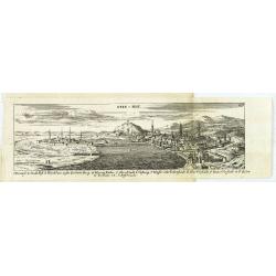
Ofen v. Pest.
Panoramic view of Ofen v. Pest (Budapest). Published in "Der Donau-Strand Mit allen seinen Ein- und Zuflüssen. . .".Published by Jacob Sandrart.
Date: Nuremberg, Jacob Sandrart, 1684
Selling price: ????
Please login to see price!
Sold in 2020
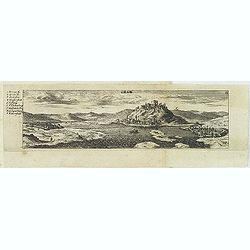
Gran.
Panoramic view of Gran (Esztergom). Published in "Der Donau-Strand Mit allen seinen Ein- und Zuflüssen. . ."Published by Jacob Sandrart.
Date: Nuremberg, Jacob Sandrart, 1684
Selling price: ????
Please login to see price!
Sold
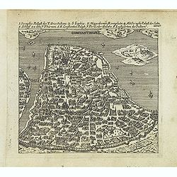
Constantinople.
Uncommon bird's-eye town-plan of Constantinople Published in "Der Donau-Strand mit allen seinen Ein- und Zuflüssen. . ." Published by Jacob Sandrart.
Date: Nuremberg, Jacob Sandrart, 1684
Selling price: ????
Please login to see price!
Sold in 2016
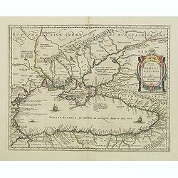
Pontus Euxinus Aequor Iafonio pulfatum remige premum.
Prepared by Ortelius after Mercator, and additional ancient sources as Plinius, Ovidius, Strabo, Apollonius, Procopius and Apianus.This map belongs to a series of histori...
Date: Amsterdam, 1652-1684
Selling price: ????
Please login to see price!
Sold in 2011
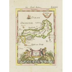
Isles du Japon.
A charming late 17th century French map with a very decorative title cartouche showing trumpet-blowing cherubs, by Allain Manneson Mallet (1630-1706), a well traveled mil...
Date: Paris, 1685
Selling price: ????
Please login to see price!
Sold in 2021
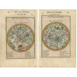
De la sphere (pair of maps).
Pair of small charts each with the constellations in allegorical form featuring the northern and southern sky.
Date: Paris 1685
Selling price: ????
Please login to see price!
Sold
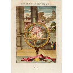
Globe Terestre.
Decorative print of a terrestrial globe. By Allain Manneson Mallet (1630-1706), a well traveled military engineer and geographer who worked in 17th century France under K...
Date: Paris, 1685
Selling price: ????
Please login to see price!
Sold in 2008
Isles du Japon.
A charming late 17th century French map with a very decorative title cartouche showing trumpet-blowing cherubs, by Allain Manneson Mallet (1630-1706), a well traveled mil...
Date: Paris, 1685
Selling price: ????
Please login to see price!
Sold in 2013
Le Royaume de Danmark subdivisé en ses Principales Provinces..
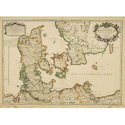
A decorative map of Denmark prepared by N.Sanson and published by Hubert Jaillot.
Date: Paris 1685
Selling price: ????
Please login to see price!
Sold
Tabula Tartariae et majoris partis Regni Chinae
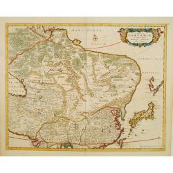
Nice map of the region from the Caspian Sea through China and Japan. Eastern Russia is truncated with no Kamchatka peninsula and Yedso is shown according to the voyages o...
Date: Amsterdam 1685
Selling price: ????
Please login to see price!
Sold
Exactissima Asiae delineatio
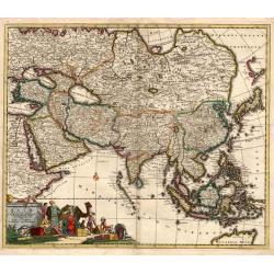
An attractive full color example of Danckerts scarce map of Asia and the Northern part of Australia based on De Wit. The map extends North to the unknown coasts of Yesso ...
Date: Amsterdam, 1685
Selling price: ????
Please login to see price!
Sold
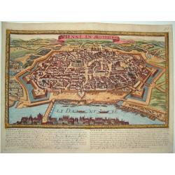
Vienne en Austriche
A scarce, uncommon bird's-eye view of the fortified city of Vienna and surrounding area. Superb detail of streets and individual buildings. Fortifications include walls a...
Date: Paris, ca. 1685
Selling price: ????
Please login to see price!
Sold
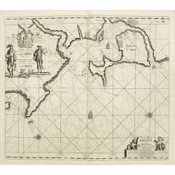
Nieuwe Pascaart waar in vertoont wert de Baij van Cadix In't groot.
An important sea-chart of the coast and island of Cadiz. With plate number 30 in lower right corner. Large title cartouche, with title in Dutch and French and a dedicatio...
Date: Amsterdam, 1685
Selling price: ????
Please login to see price!
Sold
![I. Goree [Ialoffes Royaume]](/uploads/cache/25317-250x250.jpg)
![Isle de Zocotora [Die Insel Zocotora]](/uploads/cache/25316-250x250.jpg)
![Isle de la Sonde vers L\'Orient. [Moluccan Islands]](/uploads/cache/26298-250x250.jpg)
![[Title page ] Germania Inferior Sive XVII Provinciarum Geographicae Generales ut et particulares Tabulae. Kaert-Boeck van de XVII Nederlandtsche Provincien.](/uploads/cache/26693-250x250.jpg)
