Browse Listings in Europe
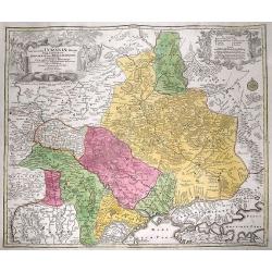
Amplissima Ucraniae Regio, Palatinatus Kioviensem et Braclaviensem...
An uncommon and attractive map of the Ukraine. With excellent detail of the topography, including rivers, hills, etc. Decorated with two attractive cartouches showing...
Date: Augsburg, c1750
Selling price: ????
Please login to see price!
Sold in 2012
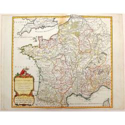
Gallia Antiqua in Provincias et Populos Divisa
This large map of the Roman time Gauls (Gallia) dated 1750, was incorporated in the 1st edition of "Atlas Universel" in 1757. With significant portions of Belgi...
Date: Paris, 1750
Selling price: ????
Please login to see price!
Sold in 2015
[No tittle] Folding map centered on the Bodensee, Zurichersee
Beautiful and detailed map of the area around the Bodensee, including Konstanz, Liechtenstein, Zurich and Fussen in the east, etc More about folding maps. [+]
Date: Germany, ca. 1750
Selling price: ????
Please login to see price!
Sold in 2013
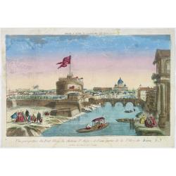
Vue perspective du pont Elian, du château St Ange, et d'une partie de la ville de Rome.
A view of the Castle of St.Angelo and Elian Bridge, with part of the city of Rome. Published by Jacques Chereau, who was a well-known publisher of optical prints, establi...
Date: Paris, ca. 1750
Selling price: ????
Please login to see price!
Sold in 2016
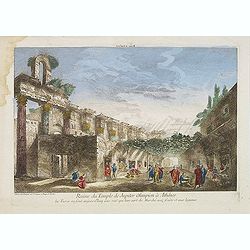
Ruine du Temple de Jupiter Olimpien à Athênes les Turcs en sont aujour d'huy une rue quil leur sert de Marché aux fruits et aux legumes.
Optical print of the ruins of the Temple of Jupiter Olympius in Athenes. This famous temple was build by Antiochus. Published by Jacques Chereau, who was a well-known pub...
Date: Paris, ca. 1750
Selling price: ????
Please login to see price!
Sold in 2016
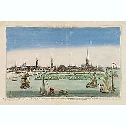
Hambourg, ville d'Allemagne dans le duché de Holstein. . .
Showing the town of Hamburg seen from the river Elbe. Optical print published by Mondhare, who was a well-known publisher of optical prints, established in rue St. Jacque...
Date: Paris, ca. 1750
Selling price: ????
Please login to see price!
Sold in 2015
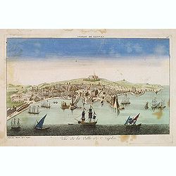
Vue de la ville de Naples. . .
A decorative view of Naples with a busy harbour, published by Basset, who was a well-known publisher of optical prints, established in rue St. Jacques in Paris. In the ei...
Date: Paris, ca. 1750
Selling price: ????
Please login to see price!
Sold in 2014
TABULA GEOGRAPHICA CAMPANIAE...
Decorative copper engraved map of Champagne. Very detailed, covering the region Champagne-Ardenne with Reims, Troyes, Châlons, Vitry, and Épernay. With an allegoric tit...
Date: Nuremberg, 1750
Selling price: ????
Please login to see price!
Sold in 2013
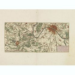
Nieuwe kaart van Parys en Versailles met de nabygelegen Landstreek en Plaatsen.
Very detailed map covering the vicinity of Paris from Versailles to Vincennes. Nice detail around Boid de Boulogne and St.Cloud
Date: Amsterdam, 1750
Selling price: ????
Please login to see price!
Sold in 2013
Kaart van den loop der Rivieren de RHYN, de MAAS de MERWE, en de LEK. . . [together with] Kaart van de beneden Rivier de Maas. . . [together with] Nieuwe kaart van 't Kwartier Nijmegen . . .
1./ Kaart van den loop der Rivieren de RHYN, de MAAS de MERWE, en de LEK... (352x450mm.) A detailed map of the center of the Netherlands, with the rivers Rhine, Maas, de ...
Date: Amsterdam, 1750
Selling price: ????
Please login to see price!
Sold in 2013
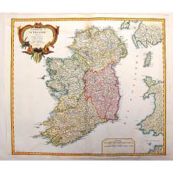
Royaume D'Irelande, Divisee en Ses Quatre Provinces.
A very precise and detailed map of Ireland by "Le Sieur". With large fancy title cartouche and scale table. One of the most beautiful maps of Ireland. Gilles R...
Date: Paris, 1750
Selling price: ????
Please login to see price!
Sold in 2013
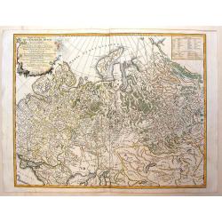
Partie Occidentale de L'Empire de Russie
Detailed map of the western part of the Russian Empire, north of the Black & Caspian Seas, Nova Zembla and including most of Finland. Gilles Robert de Vaugondy (168...
Date: Paris, 1750
Selling price: ????
Please login to see price!
Sold in 2014
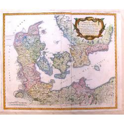
Royaume de Danemarck
Lovely map of Denmark that includes Schleswig-Holstein, the Pomeranian coast and Southern Sweden. Includes a fancy ribboned title cartouche.Gilles Robert de Vaugondy (168...
Date: Paris, 1750
Selling price: ????
Please login to see price!
Sold in 2014
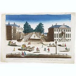
Vue du petit Voorhout une des promenades de La Haye prise du coté du pont Coucamp.
Showing the Voorhout in The Hague. Likely published by J. Chereau, who was a well-known publisher of optical prints, established in rue St.Jacques in Paris. In the eighte...
Date: Paris, ca. 1750
Selling price: ????
Please login to see price!
Sold in 2013
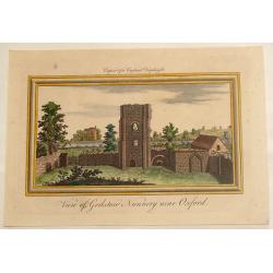
View of Godston Nunnery Near Oxford.
Pleasant hand-colored print of the famous "Godston Nunnery" close to Oxford in Oxfordshire. The print was by Samuel & Nathaniel Buck who sketched the ruins ...
Date: London, c1750
Selling price: ????
Please login to see price!
Sold in 2013
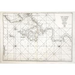
Carte générale des costes de l'Europe sur l'Ocean comprises depuis Dronthem en Norvege jusques au Detroit de Gibraltar.
General chart of the Atlantic coasts of Europe, from Trondheim in Norway to the Straits of Gibraltar. Prepared by Nicolas Bellin and engraved by H. van Loon.
Date: Paris, 1750
Selling price: ????
Please login to see price!
Sold in 2013
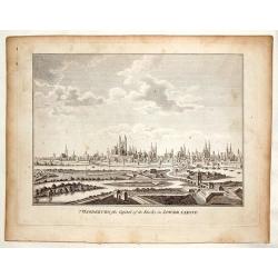
Magdenburg, the Capital of its Duchy in Lower Saxony.
This is a fine copper engraved view of Magdenburg featuring 19 churches with spires, several fortifications and a river system with 10 ships and boats.
Date: Nuremberg, c. 1750
Selling price: ????
Please login to see price!
Sold in 2016
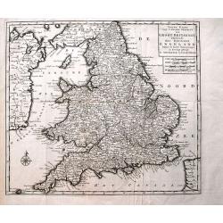
Nieuwe Kaart van 't Zuider Gedeelte van Groot Britannie behelzende Het Koningryk Engeland...
Detailed map of England and Wales, including parts of Ireland. Shows the Picts Wall (Hadrian's Wall)! With a wealth of place names, rivers, roads, areas, etc.
Date: Amsterdam, c1750
Selling price: ????
Please login to see price!
Sold in 2013
Vue Perspective de L'Interieur de L'Eglise des Invalides Prise Dessous les Orgues.
A Vue Optique featuring the interior of the Church of the Invalids in Paris. Jacques Chéreau (1688–1776) was a portrait engraver, printmaker and publisher of optical...
Date: Paris, 1750
Selling price: ????
Please login to see price!
Sold in 2018
ACCURATA ET NOVISFIMA REPRAEFENTATIO ICHNOGRAPHIEA HANNOVERAE.
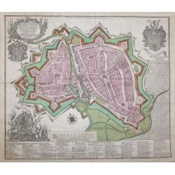
Double-page engraved plan of Hanover by Tobias Conrad Lotter.Showing all the churches and notable places, with an inset decorative shield in the top right with details ab...
Date: Augsburg, 1750
Selling price: ????
Please login to see price!
Sold in 2014
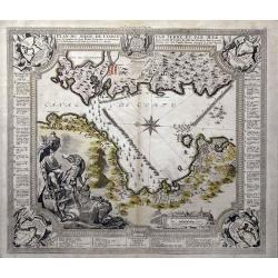
Plan du siege de Corfu par Terre et par Mer...
This uncommon map depicts the western coast of Corfu, including Kérkira at the time of the siege on July 5th, 1716 against the Turkish marine. Part the Greek coast (prov...
Date: Nuremberg, 1750
Selling price: ????
Please login to see price!
Sold in 2015
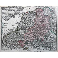
Vereinigte Niederlande, Spanische Niederlande, Herzogt. Brabant, Herzogt. Luxemburg, Graefsch. Flandern.
Detailed miniature map published by Tobias Conrad Lotter and Tobias Lobeck in their "Atlas Geographicus portatilis...".
Date: Augsburg, ca. 1750
Selling price: ????
Please login to see price!
Sold in 2014
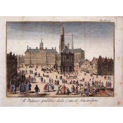
Il Palazzo Publico Della Citta di Amsterdam.
Very pleasing hand colored copper engraving of Amsterdam featuring the Palace.
Date: Venice, 1750
Selling price: ????
Please login to see price!
Sold in 2019
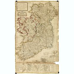
A new map of Ireland divided into its provinces, counties and baronies, wherein are distinguished the bishopricks, borroughs, barracks, bogs, passes, bridges &c. with the principal roads, and the common reputed miles
A magnificent and highly detailed late 18th century map of Ireland, with in lower right corner inset town plans of Dublin, Cork, Limerick, Waterford and Gallway, with pla...
Date: London, 1726-1750
Selling price: ????
Please login to see price!
Sold in 2015
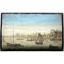
The South East prospect of London, from the Tower to London Bridge.
Optical vue of the River Thames, looking to the west from the Tower of London to London Bridge and St Paul's; animated with a number of boats on the water.
Date: Londo, circa 1750
Selling price: ????
Please login to see price!
Sold in 2022
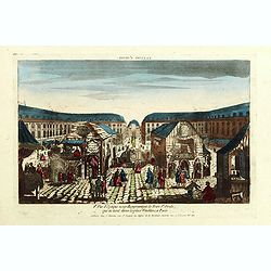
8e Vue d'optique nouvelle représentant la Foire St Ovide qui se tient dans la place Vendôme, à Paris.
Showing the St Ovide fair at the Vendôme Place in Paris. Likely published by J. Chereau, who was a well-known publisher of optical prints, established in rue St.Jacques ...
Date: Paris, ca. 1750
Selling price: ????
Please login to see price!
Sold in 2015
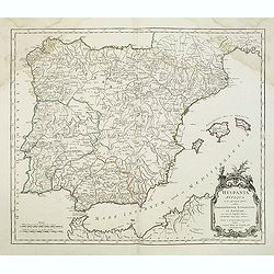
Hispania Antiqua.
Map of ancient Spain and Portugal. Engraved by G. Delahaye. From his "Atlas Universel".Gilles Robert de Vaugondy (1688–1766), also known as Le Sieur or Monsie...
Date: Paris, 1750
Selling price: ????
Please login to see price!
Sold in 2015
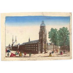
Vue Perspective de L'Universite d'Augsbourg Fonde par L'Eveque Julien.
Original antique print published by Chereau in Paris in c1750. This is an optical print, also called “Vue Optique” or “Vue d'Optique”, which were made to be viewe...
Date: Paris, c1750
Selling price: ????
Please login to see price!
Sold in 2019
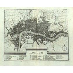
London.
Small French map of London with a key below naming 24 important places within the city. Numerous streets are indicated. Uncommon map, probably dating to around 1700-1750.
Date: Paris, ca. 1700-1750
Selling price: ????
Please login to see price!
Sold in 2016
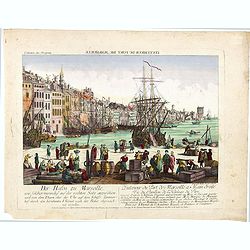
L'interieur du port de marseille...
A so-called optical print. A lively and harbor scene of Marseille, with many people loading a vessel. Engraved by Balthazar Frederic Leizelt.. The image is actually of a...
Date: Augsburg, c. 1750
Selling price: ????
Please login to see price!
Sold in 2016
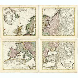
Tabula Geographica Europae. . .
Interesting map in four sheets, forming a map of Europe, including good detail on Scandinavia, Russia, Poland with a decorative title cartouche, and a Prussian duty stamp...
Date: Berlin, ca. 1750
Selling price: ????
Please login to see price!
Sold in 2017
Vue generale de la ville de Londres
A 'bird's-eye' view of London, taken from a point several hundred feet above Tower Bridge. Note: St. Paul's church, the Monument to the fire of London, and Westminster Ab...
Date: Paris, ca 1750
Selling price: ????
Please login to see price!
Sold in 2016
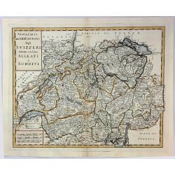
Nuova Carta dei XIII Cantoni degli Svizzeri infieme coi loro Alleati e Sudditi.
Taken from Volume II of Albrizzi's "Atlante Novissimo" after Guillaume de L'Isle. Showing Switzerland divided into its various cantons, with major towns, cities...
Date: Padua, 1750
Selling price: ????
Please login to see price!
Sold in 2016
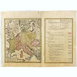
Tab. IV Imperii Francici vel Romano German f. Romani Occid . . .
Uncommon map and table depicting the divisions of Europe, during the reign of the Holy Roman Emperor Charles V.
Date: Nuremberg / 1750
Selling price: ????
Please login to see price!
Sold in 2017
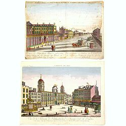
Two Optical prints of London
Two optical prints "Prospect des Admiralitaets Hauses, nebst dem neuen Gebäu für die Quarde zu Pferd" and "Vue de la Maison de Northumberland à Charing ...
Date: Augsburg 1750
Selling price: ????
Please login to see price!
Sold in 2016
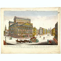
Vue de l Hotel du Lord Maire, qui comprend la Façade, et le Cot' Occidental de Londres.
Shows the famous Lord Mayor's coach driving through London. The Lord Mayor's coach is famous for its role in the Lord Mayor's Show, which is one of the longest establishe...
Date: Augsburg, 1750
Selling price: ????
Please login to see price!
Sold in 2016
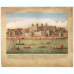
Der Tower La Tour de Londres.
Optical view by J.B. WINCKLER after L. KNYF, German and French captions below, In the eighteenth and nineteenth centuries there were many popular speciality establishment...
Date: Augsburg, 1750
Selling price: ????
Please login to see price!
Sold in 2016
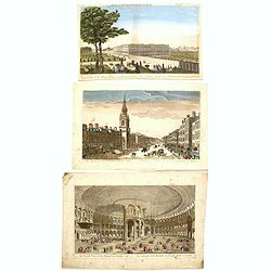
Three Optical prints of London. . .
Three optical prints of London "An Inside View of the Rotundo in London Caff. - Vue interieur de la Rotonde oú le Caffé", with "A View of the Royal Palac...
Date: London, ca. 1750
Selling price: ????
Please login to see price!
Sold in 2016
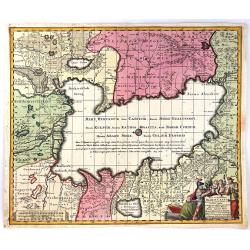
Nova et Accuratissima Maris Caspii....
Highly decorative map showing the Caspian Sea and the countries around it. Main cities / countries around it include: Baky / Baku in Aserbaidschan, Astrakhan / Astrakha...
Date: Augsberg, 1750
Selling price: ????
Please login to see price!
Sold in 2016
Newport a Strong Sea-Port Town in Flanders, Restored to the Empire by the Treaty of Utrecht.
A hand colored plan of Newport, a sea port town of Flanders from Tindal's Continuation of Mr. Rapin's "HISTORY OF ENGLAND". Engraved by James Basire in London c...
Date: London, ca. 1750
Selling price: ????
Please login to see price!
Sold in 2016
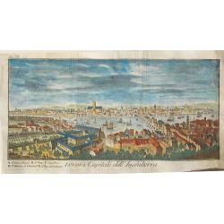
Londra, capitale dell'Inghilterra
A nice copper engraving depicting the city of London, from "Lo stato presente di tutti i paesi e popoli del mondo naturale, politico, e morale", printed in 1750...
Date: Venice, ca 1750
Selling price: ????
Please login to see price!
Sold in 2016
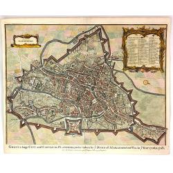
Ghent, a Large City and Castle in Flanders
A very fine bird's-eye plan of the city and fortifications of Ghent and the surrounding countryside in Belgium. A decorative cartouche encloses a detailed key to the map ...
Date: London, 1750
Selling price: ????
Please login to see price!
Sold in 2016
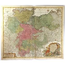
Saxoniae Inferioris circulus, exhibens ducatus Brunswic
This large detailed map of Saxony shows northern Germany with Sachsen Anhalt, Niedersachsen, Mecklenburg Vorpommern, Schleswig, Holstein, Brandenburg, Hamburg, Bremen and...
Date: Augberg, 1750
Selling price: ????
Please login to see price!
Sold in 2016
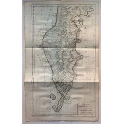
Carte du Kamtchatka
One of the best maps of the region from the 1700's. Handsome copper engraved map of the Kamtchatka peninsula with excellent detail showing topography, including several l...
Date: Paris, 1750
Selling price: ????
Please login to see price!
Sold in 2016
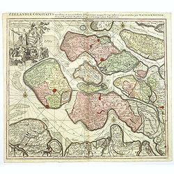
Zeelandiae Comitatus. . .
A scarce map of Zeeland, a section of south-western The Netherlands, published by Matthäus Seutter.Impressive cartouche with coat of arms of Zeeland top left, reflecting...
Date: Augsburg, ca.1750
Selling price: ????
Please login to see price!
Sold in 2017
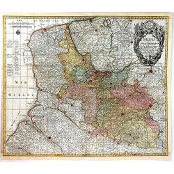
Artsia cum Finitimis Locis Seden ac Thatrum Belli ...
A fine large map of the Pas-de-Calais / Artois region in northern France, and part of Belgium between Calais, Abeville and Douay, with decorative figural cartouche. By Co...
Date: Nüremburg, 1750
Selling price: ????
Please login to see price!
Sold in 2016
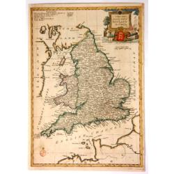
A New and Accurate Map of England.
Fine, very detailed map of England and Wales by Thomas Bowen in about 1750. It has a decorative cartouche with a cannon, a lion, a bust, a globe, and a three-lioned shiel...
Date: London, ca. 1750
Selling price: ????
Please login to see price!
Sold in 2017
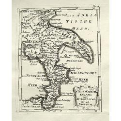
Gross Griechenland oder Apulien, Lucanien und Bruttium.
A rare map of soutern Italy. Shows the area from Apulia to Messina in Sicily, including Salerno, Paestum, Potenza, Bari, Tarent, Lamezia, Crotone, Reggio, and many more w...
Date: Anon, ca. 1750
Selling price: ????
Please login to see price!
Sold in 2018
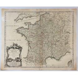
Le Royaume de France Divise Suivant les Gouvernemens Generaux.
A fine politically and topographically detailed 1750 map of France by Robert de Vaugondy. It covers all of France from the English Channel to Corsica and Spain.The map fe...
Date: Paris, 1750
Selling price: ????
Please login to see price!
Sold in 2017
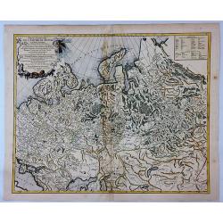
Partie Occidentale de L'Empire de Russie.
A highly detailed map of the Western Part of Russia, extending South to the Caspian and East to Irkurkoy and Ilimskoy. Interesting natural cartouche featuring two bears e...
Date: Paris, 1750
Selling price: ????
Please login to see price!
Sold in 2018
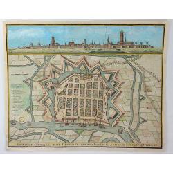
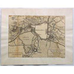
A New Plan of the Town of Bois le Duc and Its Fortifications.
Striking engraved plan showing the city of s'Hertogenbosch in Brabant, Netherlands. The map focuses on the town fortifications and also includes details of the town plan...
Date: London, J. Nourse, 1750
Selling price: ????
Please login to see price!
Sold in 2018
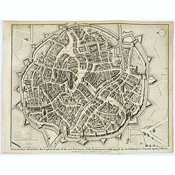
Mechlin, or Malines the Capital of one of the ten Provinces of the Netherlands. . .
A detailed 'bird's eye view of the Belgian city of Mechelen. Streets are named, and houses and buildings are shown in great detail. Prominent buildings shown. City walls ...
Date: London, ca 1750
Selling price: ????
Please login to see price!
Sold in 2020
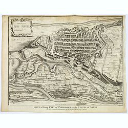
Cony, a strong City of Piedmont in the States of Savoy.
A detailed 'bird's eye view of the Italian city of Cony (Cuneo) and surrounding fields, farmland rivers and terrain.Houses and public buildings are shown in great detail,...
Date: London, ca 1750
Selling price: ????
Please login to see price!
Sold in 2017
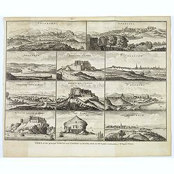
Views of the principal Towns and Castles in Scotland..
A delightful selection of 10 Scottish Towns, Castles, and of The Bass Rock. Towns include Edinburgh, Glasgow, Sterling, Aberdeen, St. Andrews, Montrose, Cannery Town in R...
Date: London, ca. 1750
Selling price: ????
Please login to see price!
Sold in 2021
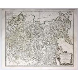
Partie Orientale de L'Empire de Russie en Asie...
An attractive and detailed map of the northeastern portion of Asia, including Russia, China, the Gobi Desert, etc. Included are cities, villages, rivers, mountain ranges ...
Date: Paris, 1750
Selling price: ????
Please login to see price!
Sold in 2017
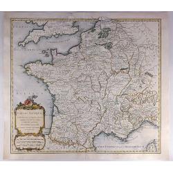
Gallia Antiqua in Provincias et Populos Divisa.
An attractive map of France or 'Gaul'. It features Gallia during ancient Roman times, and extends from the English Channel south as far as the Pyrenees Mountains and Hisp...
Date: Paris, 1750
Selling price: ????
Please login to see price!
Sold in 2023
[Two maps] Tetrachia Ducatus Geldriae Neomagensis. / Transisalania vulgo Over-Yssel auct. N. ten Have. . .
[Two maps] Frederick de Wit's very attractive map of the area of Nijmegen in The Netherlands. North is orientated to the upper right. The map is adorned with a banner sty...
Date: Amsterdam, ca. 1680 - 1750
Selling price: ????
Please login to see price!
Sold in 2018
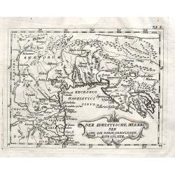
Der Adriatische Meerbusen und die daran graenzende Alte Völker.
A rare map of northern Italy. Shows the area from Brixen to Istria, including Verona, Venice, Trieste, and Pula, by an unidentified and unknown cartographer.
Date: Anon, ca. 1750
Selling price: ????
Please login to see price!
Sold in 2018
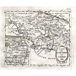
Land der Etrurier und Umbrier.
A rare map of central Italy. Shows the area from Porto Venere until Ancona, including Rome, Pisa, and Siena. An inset map shows the area around Rome. By an unidentified a...
Date: Anon, ca. 1750
Selling price: ????
Please login to see price!
Sold in 2018
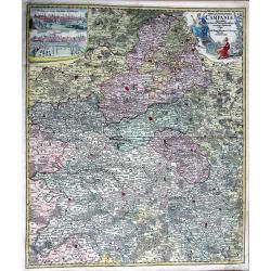
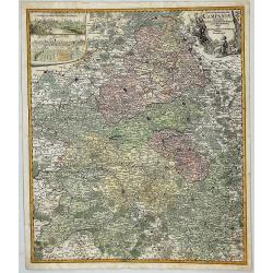
Tabula Geographica Campaniae in Suas Sic Dictas. . .
A map of Champagne, the famous wine provence in France. On the top left are insert views of Reims and Troyes, and a decorative cartouche featuring a king and his subjects...
Date: Nuremberg, ca. 1750
Selling price: ????
Please login to see price!
Sold in 2018
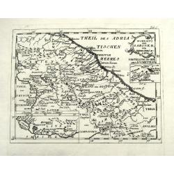
Wohnsitz der Sabiner, und ihrer Abkömlinge.
A rare map of central Italy. Shows the area from Ancona to Benevento, including Rome, Narni, Terni, Ortona, and many more with their old names. An inset map shows the Vel...
Date: Anon, ca. 1750
Selling price: ????
Please login to see price!
Sold in 2018
Vorstellung v. Campanien u. Samnium.
A rare map of the area around Naples. Shows the area from Città di Castello until Salerno. Includes Naples, Nola, Sorrento, islands of Capri and Ischia, and many more wi...
Date: Anon, ca. 1750
Selling price: ????
Please login to see price!
Sold in 2018
Madrit.
Very rare view of Madrid from Johann Friedrich Probst. Printed on two sheets. Different versions of this exceptional, large view of Madrid were produced by the Probst. No...
Date: Augsburg, ca 1750
Selling price: ????
Please login to see price!
Sold in 2021
Pologne.
A compact small map of Poland, including Lithuania and Belarus, as they appeared in 1750. Dense detail provided, with topography, place names, rivers and lakes. A nice sm...
Date: Paris, 1750
Selling price: ????
Please login to see price!
Sold in 2019
Antient Germany.
A map of Germany in Roman times, that also shows Denmark and southern tip of Sweden, and parts of eastern Europe. With good map detail, including rivers, regions, towns, ...
Date: London, ca 1750
Selling price: ????
Please login to see price!
Sold in 2019
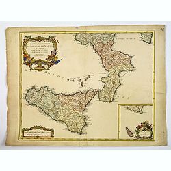
Partie Meridionale du Royaume de Naples. . .
A quite striking map of Sicily, Naples and neighbouring islands, with a large attractive inset of Malta, and extreme southern portion of Sicily, taken from an early editi...
Date: Paris, ca 1750
Selling price: ????
Please login to see price!
Sold in 2019
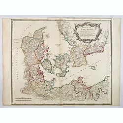
Royaume de Danemark. . .
A nice, detailed map of Denmark, including the Baltic Sea and the lower part of Sweden. Showing towns, rivers, mountains, ports, islands, etc. Adorned with a large title ...
Date: Paris, ca 1750
Selling price: ????
Please login to see price!
Sold in 2020
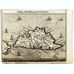
A Map of the Island of Corsica.
Scarce small map of Corsica and part of Sardinia.
Date: England, ca. 1750
Selling price: ????
Please login to see price!
Sold in 2019
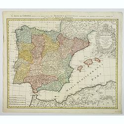
Regnorum Hispaniae et Portugalliae. . .
A beautifully detailed map of Spain and Portugal by Homann. It offers excellent detail of the Iberian Peninsula and the Balearic Islands, plus parts of southwestern Franc...
Date: Nuremberg, ca 1750
Selling price: ????
Please login to see price!
Sold in 2021
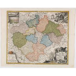
Mappa Geographica Totius Regni Bohemiae In XII Circulos divisae annexisComitatuGlacensi et Districtu Egerano . . .
Uncommon map of the Czech Republic, centered on Prague. Includes four ornate cartouches, coat of arms and a birdseye view of the Bridge across the Moldau River in Prague.
Date: Augsburg, 1750
Selling price: ????
Please login to see price!
Sold in 2020
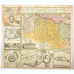
Regnum Bosniae , una cum finitimis Croatiae, Dalmatiae. . .
One half of a large two sheet map that covers from the Dalmatian coast to Walachia to the city of Nissa, including Bosnia, Serbia, Croatia, and parts of Slovenia and Bulg...
Date: Nuremberg, ca 1750
Selling price: ????
Please login to see price!
Sold in 2020
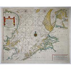
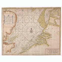
A Correct Chart Of The Sea Coasts Of England, Flanders And Holland Shewing The Sands Shoals Rocks And Dangers, The Bays Harbours Roads Buoys Beacons & Seamarks On The Said Coasts.
Mount & Page's chart of the Channel and contiguous British, Belgian and Dutch Coastlines. The imprint of "W.& J.Mount & T.Page" helps date this part...
Date: London, ca. 1750
Selling price: ????
Please login to see price!
Sold in 2020
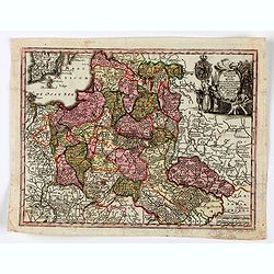
Poloniae Regnum ut et Magni Ducatus Lithuaniae . . .
Detailed map of Poland and the Baltic regions, extending in the south to Ukraine and northern Hungary.Matthaus Seutter the elder first published his "Atlas Geographi...
Date: Augsburg, 1740-1750
Selling price: ????
Please login to see price!
Sold in 2020
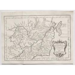
Carte de la Tartarie Orientale. . .
A detailed copper engraved map of northeast Asia and Manchuria, showing the island "Sagallan Anga Hata" or "Isle de Bouche Noire". From Prevost's &quo...
Date: Paris, 1750
Selling price: ????
Please login to see price!
Sold in 2021
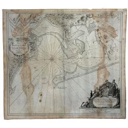
[An untitled Sea Chart of South Devon.]
A large scale English Sea Chart of part of southern Devon in SW England. The chart is dominated by a very decorative dedication cartouche highlighting the landing of Will...
Date: London ca 1750
Selling price: ????
Please login to see price!
Sold in 2020
Carte Generale Inserviente al Teatro della Guerra [...]a Lusazia, la Silesia divisa. . .
A very rare map of the area around Wroclaw and Glatz, extending until Prague, Dresden, and Olomouc. With a title cartouche showing a small view. Further two putti holding...
Date: Venice, ca 1750
Selling price: ????
Please login to see price!
Sold in 2020
Kaart van de Baay van Cadix met de Palan Fortificatien Ten Dienst der Zeevaart opgesteld door William May...
Scarce chart of the Bay of Cadiz, showing with large details towns, settlements, soundings, anchorages, etc., and an inset of the fortifications. There is a very decorati...
Date: Amsterdam, 1750
Selling price: ????
Please login to see price!
Sold in 2023
A Correct Chart of the Sea Coasts of England, Flanders, and Holland…
Nice example of Mount & Page's map of the Channel showing the coastlines of England, Belgium and Holland.Published at first in 1671-1672 in John Seller's 'The English...
Date: London, ca. 1750
Selling price: ????
Please login to see price!
Sold in 2021
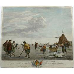
Winter pleasures on the Haarlemmer Lake with Haarlem in the distance.
Engraving By J. Aliamet, Les Amusements De L'Hiver. Rare 18th century Dutch golf engraving by J. Aliamet depicting Dutchman playing the early form of golf on the ice near...
Date: Paris, 1750
Selling price: ????
Please login to see price!
Sold in 2023
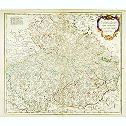
Le royaume de Boheme, le Duché de Silésie..
Covering Czech Republic, embellished with decorative title cartouche.
Date: Paris, 1751
Selling price: ????
Please login to see price!
Sold in 2008
![[No tittle] Folding map centered on the Bodensee, Zurichersee](/uploads/cache/30634-250x250.jpg)
![Kaart van den loop der Rivieren de RHYN, de MAAS de MERWE, en de LEK. . . [together with] Kaart van de beneden Rivier de Maas. . . [together with] Nieuwe kaart van 't Kwartier Nijmegen . . .](/uploads/cache/33462-250x250.jpg)


![[Two maps] Tetrachia Ducatus Geldriae Neomagensis. / Transisalania vulgo Over-Yssel auct. N. ten Have. . .](/uploads/cache/40600-250x250.jpg)
![[An untitled Sea Chart of South Devon.]](/uploads/cache/46633-250x250.jpg)
![Carte Generale Inserviente al Teatro della Guerra [...]a Lusazia, la Silesia divisa. . .](/uploads/cache/84695-250x250.jpg)
