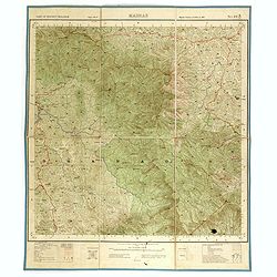
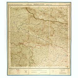
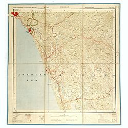
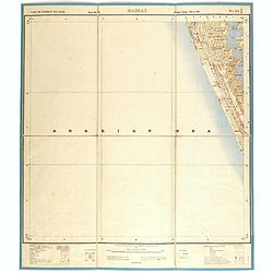
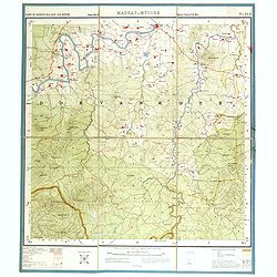
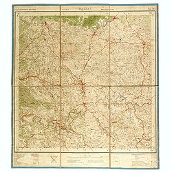
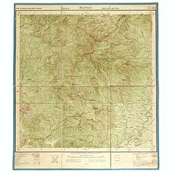
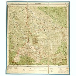
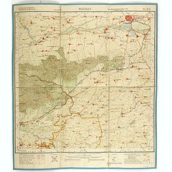
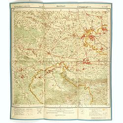
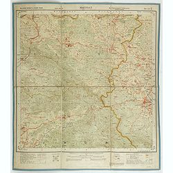
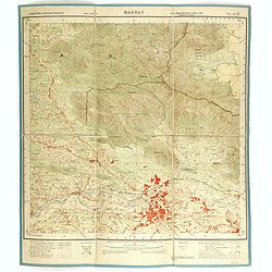
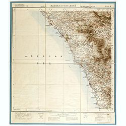
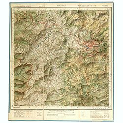
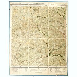
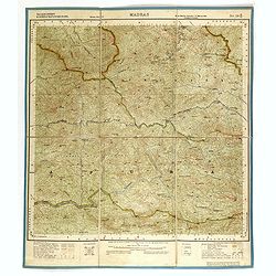
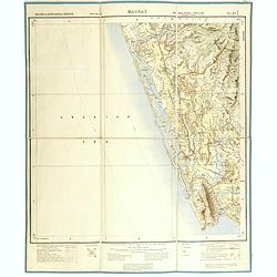
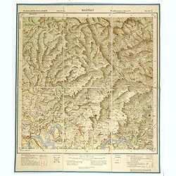
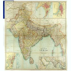
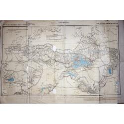
A set of Twelve maps of India.
>A set of 12 highly detailed and beautifully colored maps of India at the time of the British Raj. The maps show in high detail; Railways existing and under constructi...
Place & Date: London, 1881
Selling price: $200
Sold in 2019
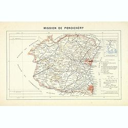
Mission de Pondichery
Important map of Pondichery in India, prepared by Adrien Launay, who was a French Missionary and later chronicler of the history of the French Missions in Indo-China at e...
Place & Date: Lille, 1890
Selling price: $170
Sold in 2017
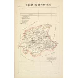
Mission du Coïmbatour.
Important missionary centered on Coimbatour. It is the Third largest city and urban agglomeration in the Indian state of Tamil Nadu, prepared by Adrien Launay, who was a ...
Place & Date: Lille, 1890
Selling price: $125
Sold in 2017
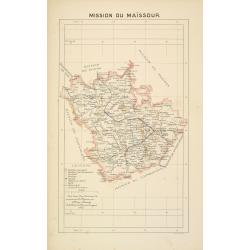
Mission du Maïssour.
Important missionary map centered on Mysor, prepared by Adrien Launay, who was a French Missionary and later chronicler of the history of the French Missions in Indo-Chin...
Place & Date: Lille, 1890
Selling price: $125
Sold in 2017
[Untitled] Map of Northern India, Tibet, Nepal, Bhutan and surrounding countries.
The top sheet (No.47) of a two sheet map centered on Nepal, Bhutan and Tibet. Also covered by the map are: Northern India, Afghanistan, Pakistan, Turkistan, far Eastern C...
Place & Date: London, ca 1890
Selling price: $150
Sold in 2018
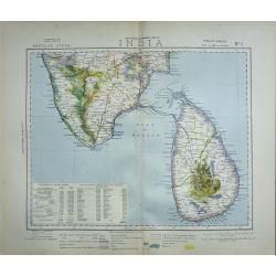
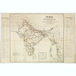
India. To illustrate the goods traffic on Indian ralways . . .
Large folded map of India, Ceylon, Malaysia, illustrating the goods traffic on Indian railways for the year 1891. A small inset showing the continuation until Singapore.T...
Place & Date: London, 1891
Selling price: $85
Sold in 2017
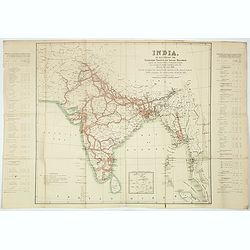
India. To illustrate the passengers traffic on India railways, showing the average number of passengers carried per mile over the various sections of each line, during the year 1891 . . .
Large folded map of India, Ceylon, Malaysia, showing the traffic of passengers by train for the year 1891. A small inset showing the continuation until Singapore.Text pan...
Place & Date: London, 1891
Selling price: $85
Sold in 2017
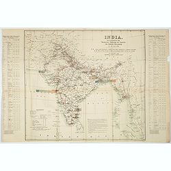
India. To illustrate the principal centres of traffic on Indian railways.
Large folded map of India, Ceylon, Malaysia, illustrating the principal centres of traffic on Indian railways for the year 1891.Text panels to the side : "Principal ...
Place & Date: London, 1891
Selling price: $85
Sold in 2017
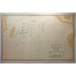
Cyclone tracks in the South Indian Ocean, December 1848-1885.
A map of the tracks of cyclones recorded in December for the years 1848 to 1885, except for years 1849, 1850 and 1853, published in London. Printed for H.M.S.O. by Eyre a...
Place & Date: London, 1891
Selling price: $12
Sold in 2018
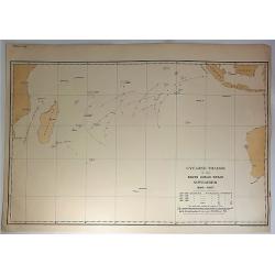
Cyclone Tracks in the South Indian Ocean, November 1848-1885.
A map of the tracks of cyclones recorded in November for the years 1848 to 1885, except for years 1849, 1850 and 1853, published in London. Printed for H.M.S.O. by Eyre a...
Place & Date: London, 1891
Selling price: $11
Sold in 2018
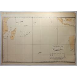
Cyclone tracks in the South Indian Ocean, October 1848-1885.
A map of the tracks of cyclones recorded in October for the years 1848 to 1885, except for years 1849, 1850 and 1853, published in London. Printed for H.M.S.O. by Eyre an...
Place & Date: London, 1891
Selling price: $10
Sold in 2018
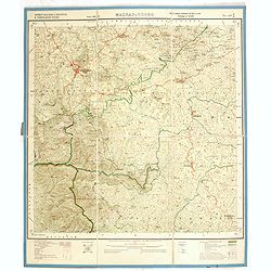
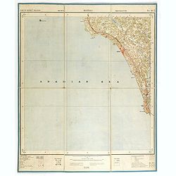
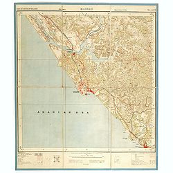
Part of district Malabar. MADRAS NO 49 M11.
Very detailed "Survey of India" map made by trigonometric surveying techniques. Season 1912-1913 and published in 1914.This "Survey of India" map was ...
Place & Date: Calcutta, Superintendent government printing, India, 1909
Selling price: $30
Sold in 2014
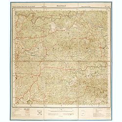
Part of district Malabar. MADRAS NO 49 M5.
Very detailed "Survey of India" map made by trigonometric surveying techniques. Season 1912-1913 and published in 1914.This "Survey of India" map was ...
Place & Date: Calcutta, Superintendent government printing, India, 1909
Selling price: $40
Sold in 2014
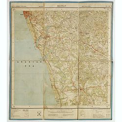
Part of district Malabar and of Mahé. MADRAS NO 49 M9.
Very detailed "Survey of India" map made by trigonometric surveying techniques. Season 1912-1913 and published in 1914.This "Survey of India" map was ...
Place & Date: Calcutta, Superintendent government printing, India, 1909
Selling price: $30
Sold in 2014
Part of district Malabar. MADRAS. NO 49 M16.
Very detailed "Survey of India" map made by trigonometric surveying techniques. This "Survey of India" map was published under the direction of Colone...
Place & Date: Calcutta, Superintendent government printing, India, 1909
Selling price: $50
Sold in 2015
[India and Indochina map with Ottoman script]
Post card size map in Ottoman script showing India and Indochina prepared by Mehmet EŞREF in a small atlas : عموم...
Place & Date: Istanbul, 1325 or 1909
Selling price: $195
Sold in 2019
Part of district Malabar. MADRAS NO 49 M14.
Very detailed "Survey of India" map made by trigonometric surveying techniques. Season 1912-1913 and published in 1914.This "Survey of India" map was ...
Place & Date: Calcutta, Superintendent government printing, India, 1910
Selling price: $30
Sold in 2014
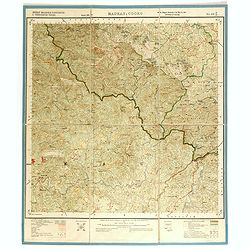
Part of Coorg and of district Malabar. MADRAS & COORG NO 49 M13.
Very detailed "Survey of India" map made by trigonometric surveying techniques. Season 1912-1913 and published in 1914.This "Survey of India" map was ...
Place & Date: Calcutta, Superintendent government printing, India, 1910
Selling price: $30
Sold in 2014
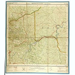
Part of district Malabar and of Mahé. MADRAS NO 49 M10.
Very detailed "Survey of India" map made by trigonometric surveying techniques. Season 1912-1913 and published in 1914.This "Survey of India" map was ...
Place & Date: Calcutta, Superintendent government printing, India, 1910
Selling price: $55
Sold in 2014
Part of district Malabar. MADRAS NO 49 N14.
Very detailed "Survey of India" map made by trigonometric surveying techniques. Season 1912-1913 and published in 1914.This "Survey of India" map was ...
Place & Date: Calcutta, Superintendent government printing, India, 1910
Selling price: $30
Sold in 2014
Part of district Malabar. MADRAS NO 49 N13.
Very detailed "Survey of India" map made by trigonometric surveying techniques. Season 1912-1913 and published in 1914.This "Survey of India" map was ...
Place & Date: Calcutta, Superintendent government printing, India, 1910
Selling price: $30
Sold in 2014
Part of district Malabar and Nilgiris. MADRAS NO 58 A8.
Very detailed "Survey of India" map made by trigonometric surveying techniques. Season 1912-1913 and published in 1914.This "Survey of India" map was ...
Place & Date: Calcutta, Superintendent government printing, India, 1910
Selling price: $30
Sold in 2014
Part of district Malabar and Nilgiris. MADRAS NO 58 A7.
Very detailed "Survey of India" map made by trigonometric surveying techniques. Season 1912-1913 and published in 1914.This "Survey of India" map was ...
Place & Date: Calcutta, Superintendent government printing, India, 1910
Selling price: $30
Sold in 2014
Part of district Nilgiris and Malabar and of Mysore State. MADRAS NO 58 A6.
Very detailed "Survey of India" map made by trigonometric surveying techniques. Season 1912-1913 and published in 1914.This "Survey of India" map was ...
Place & Date: Calcutta, Superintendent government printing, India, 1910
Selling price: $30
Sold in 2014
Part of district Malabar and Mysore. MADRAS & MYSORE NO 58 A5.
Very detailed "Survey of India" map made by trigonometric surveying techniques. Season 1912-1913 and published in 1914.This "Survey of India" map was ...
Place & Date: Calcutta, Superintendent government printing, India, 1910
Selling price: $30
Sold in 2014
Part of district Malabar. MADRAS NO 58 A4.
Very detailed "Survey of India" map made by trigonometric surveying techniques. Season 1912-1913 and published in 1914.This "Survey of India" map was ...
Place & Date: Calcutta, Superintendent government printing, India, 1910
Selling price: $30
Sold in 2014
Part of district Malabar & Nilgiri. MADRAS NO 58 A3.
Very detailed "Survey of India" map made by trigonometric surveying techniques. Season 1912-1913 and published in 1914.This "Survey of India" map was ...
Place & Date: Calcutta, Superintendent government printing, India, 1910
Selling price: $40
Sold in 2014
Part of district Malabar & Nilgiri. MADRAS NO 58 A2.
Very detailed "Survey of India" map made by trigonometric surveying techniques. Season 1912-1913 and published in 1914.This "Survey of India" map was ...
Place & Date: Calcutta, Superintendent government printing, India, 1910
Selling price: $30
Sold in 2014
Part of district Malabar and of Mysore State. MADRAS NO 58 A1.
Very detailed "Survey of India" map made by trigonometric surveying techniques. Season 1912-1913 and published in 1914.This "Survey of India" map was ...
Place & Date: Calcutta, Superintendent government printing, India, 1910
Selling price: $30
Sold in 2014
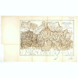
Sikkim and Bhutan wit parts of Adjacent countries. . .
Lithographed map by John Claude White of Sikkim and Bhutan showing Talung, Tongshyong and Passanram glaciers. The map was published in the Geographical Journal of 1910, t...
Place & Date: London, 1910
Selling price: $60
Sold in 2017
District Malabar & Padinalknad & Yedenalknad Tâluks. MADRAS & COORG NO 48 P12.
Very detailed "Survey of India" map made by trigonometric surveying techniques. Season 1912-1913 and published in 1914.This "Survey of India" map was ...
Place & Date: Calcutta, Superintendent government printing, India, 1911
Selling price: $30
Sold in 2014
District Malabar &Kiggatnäd & Yedenalknad Tâluks. MADRAS & COORG NO 48 P16.
Very detailed "Survey of India" map made by trigonometric surveying techniques. Season 1912-1913 and published in 1914.This "Survey of India" map was ...
Place & Date: Calcutta, Superintendent government printing, India, 1911
Selling price: $30
Sold in 2014
Coimbatore & Malabar districts & Cochin states. MADRAS NO 58 B-13
Very detailed "Survey of India" map made by trigonometric surveying techniques. Season 1909-1910 and published in 1912.This "Survey of India" map was ...
Place & Date: Calcutta, Superintendent government printing, India, 1912
Selling price: $30
Sold in 2014
Malabar district & Cochin state. MADRAS NO 58 B-10
Very detailed "Survey of India" map made by trigonometric surveying techniques. Season 1909-1910 and published in 1912.This "Survey of India" map was ...
Place & Date: Calcutta, Superintendent government printing, India, 1912
Selling price: $30
Sold in 2014
Malabar district & Cochin state. MADRAS NO 58 B-6
Very detailed "Survey of India" map made by trigonometric surveying techniques. Season 1909-1910 and published in 1912.This "Survey of India" map was ...
Place & Date: Calcutta, Superintendent government printing, India, 1912
Selling price: $30
Sold in 2014
Coimbatore & Malabar districts. MADRAS NO 58 B-9
Very detailed "Survey of India" map made by trigonometric surveying techniques. Season 1909-1910 and published in 1912.This "Survey of India" map was ...
Place & Date: Calcutta, Superintendent government printing, India, 1912
Selling price: $30
Sold in 2014
Malabar district & Cochin & Travancore States. MADRAS NO 58 B-3
Very detailed "Survey of India" map made by trigonometric surveying techniques. Season 1909-1911 and published in 1912.This "Survey of India" map was ...
Place & Date: Calcutta, Superintendent government printing, India, 1912
Selling price: $40
Sold in 2014
Malabar district & Cochin State. MADRAS NO 58 B-2
Very detailed "Survey of India" map made by trigonometric surveying techniques. Season 1909-1910 and published in 1912.This "Survey of India" map was ...
Place & Date: Calcutta, Superintendent government printing, India, 1912
Selling price: $30
Sold in 2014
Malabar district & cochin states. MADRAS NO 58 B1.
Very detailed "Survey of India" map made by trigonometric surveying techniques. Season 1912-1913 and published in 1914.This "Survey of India" map was ...
Place & Date: Calcutta, Superintendent government printing, India, 1912
Selling price: $30
Sold in 2014
Combatore, Malabar & Nilgiri Districts. MADRAS NO 58 A12.
Very detailed "Survey of India" map made by trigonometric surveying techniques. Season 1912-1913 and published in 1914.This "Survey of India" map was ...
Place & Date: Calcutta, Superintendent government printing, India, 1912
Selling price: $30
Sold in 2014
Coimbatore & Malabar Districts& cochin state. MADRAS NO 58 B14.
Very detailed "Survey of India" map made by trigonometric surveying techniques. Season 1912-1913 and published in 1914.This "Survey of India" map was ...
Place & Date: Calcutta, Superintendent government printing, India, 1912
Selling price: $30
Sold in 2014
Coimbatore & Malabar districts. MADRAS NO 58 B-9.
Very detailed "Survey of India" map made by trigonometric surveying techniques. Season 1909-1910 and published in 1912.This "Survey of India" map was ...
Place & Date: Calcutta, Superintendent government printing, India, 1912
Selling price: $45
Sold in 2015
Malabar district & cochin & Travancore states. MADRAS NO 58 C45.
Very detailed "Survey of India" map made by trigonometric surveying techniques. Season 1912-1913 and published in 1914.This "Survey of India" map was ...
Place & Date: Calcutta, Superintendent government printing, India, 1913
Selling price: $30
Sold in 2014
Malabar district, Kiggatnad Taluk & Mahé. MADRAS, COORG & MAHE NO 49 M.
Very detailed "Survey of India" map made by trigonometric surveying techniques. Season 1912-1913 and published in 1914.This "Survey of India" map was ...
Place & Date: Calcutta, Superintendent government printing, India, 1913
Selling price: $30
Sold in 2014
Malabar district. MADRAS, COORG & MAHE NO 49 N.
Very detailed "Survey of India" map made by trigonometric surveying techniques. Season 1912-1913 and published in 1914.This "Survey of India" map was ...
Place & Date: Calcutta, Superintendent government printing, India, 1913
Selling price: $30
Sold in 2014
Malabar & Nilgiri Districts. MADRAS NO 58 A11.
Very detailed "Survey of India" map made by trigonometric surveying techniques. Season 1912-1913 and published in 1914.This "Survey of India" map was ...
Place & Date: Calcutta, Superintendent government printing, India, 1913
Selling price: $30
Sold in 2014
South Kanara & Malabar Districts & Pädinalknäd Täluk. MADRAS, COORG & MAHE NO 48 P7.
Very detailed "Survey of India" map made by trigonometric surveying techniques. Season 1912-1913 and published in 1914.This "Survey of India" map was ...
Place & Date: Calcutta, Superintendent government printing, India, 1913
Selling price: $30
Sold in 2014
Malabar district & Cochin & Travancore states. MADRAS NO 58 B11
Very detailed "Survey of India" map made by trigonometric surveying techniques. Season 1912-1913 and published in 1913.This "Survey of India" map was ...
Place & Date: Calcutta, Superintendent government printing, India, 1913
Selling price: $45
Sold in 2014
Malabar & South Kanara districts. MADRAS NO 48 P 4
Very detailed "Survey of India" map made by trigonometric surveying techniques. Season 1912-1913 and published in 1914.This "Survey of India" map was ...
Place & Date: Calcutta, Superintendent government printing, India, 1914
Selling price: $30
Sold in 2014
Thacker's Reduced Survey Map of India.
Thacker's reduced Survey Map of India prepared by John Bartholomew and published n Calcutta by Thacker, Spink, & Co. And W. Thacker & Co. in London in 1914.This e...
Place & Date: Calcutta: Thacker, Spink, & Co./ London : W. Thacker and Co., 1914
Selling price: $145
Sold in 2018
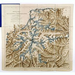
Sketch map of the Glaciers of Kangchenjunga.
This important 'Sketch-map of the Glaciers of Kangchenjunga’, by E.J. Garwood was prepared on Freshfield's expedition of 1899, a red line in red pen and ink is showing ...
Place & Date: London, Edward Arnold, 1926
Selling price: $700
Sold in 2017
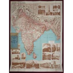
Tourist map of India, Indian State Railways.
An attractive large folding full color pictorial tourist map of India, showing Tibet to the north, Burma to the east, Ceylon in the south. With many photographic illustra...
Place & Date: London, 1930
Selling price: $210
Sold in 2016
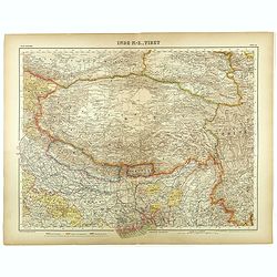
Inde N-E., Tibet.
Very detailed map of Tibet, with a color code to British, Chinese and Indo-French possessions. From "Atlas Universel" by Bagge and D. Aïtoff.
Place & Date: Paris, 1931
Selling price: $100
Sold in 2021
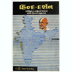
“Hind darshan” (a view of Hind/ Hindustan)
Very rare chromolithographed propaganda poster in Gujarati script, likely published post partition and assassination of Gandhi but not too much after.The poster showing a...
Place & Date: ca. 1942-1946
Selling price: $1750
Sold in 2017
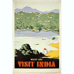
Mount Abu - Visit India.
Lithographed poster showing Mount Abu and Nakki Lake, a touristic hill station in western India’s Rajasthan state, near the Gujarat border. Nakki Lake is a popular spot...
Place & Date: India, Madras, ca. 1950
Selling price: $500
Sold in 2019
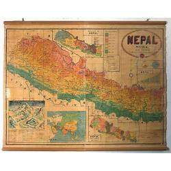
Nepal physical.
Wall map of Nepal drawn by Modgill & Co. of Delhi and published by the Nepal Trading Corporation. The map was printed at the Commercial Offset Press of New Delhi.With...
Place & Date: New Delhi, c. 1955
Selling price: $500
Sold in 2020
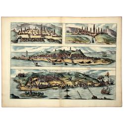
ANFA. QUIBUSDAM ANAFFA - AZAAMURUM - DIU - GOA fortissima Indiae urbs in Christianorum potestatem anno Salutis 1509. . .
A nice old color example of Braun & Hogenberg's set of Casablanca (Anfa) - Azemmour (Azamor) - Diu - Old Goa (Velha Goa). Text to verso.
Place & Date: Cologne, ca 1572
Selling price: $400
Sold in 2019
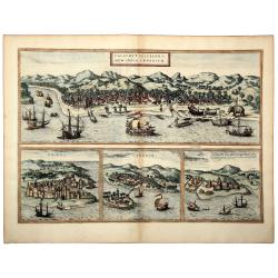
CALECHUT CELEBERRI MUM INDIAE EMPORIUM - ORMUS - CANONOR - S. GEORGE Oppidum Mina nunucaptum.
A striking old colored set of four city views, illustrating a trip from Africa to the trading regions of East, from Braun & Hogenberg's Civitates Orbis Terrarum, the ...
Place & Date: Frankfurt, ca 1572
Selling price: $300
Sold in 2019
Trigonometrical Branch Survey of India, Sheet No6 of North Eastern Frontier Parts of Tibet, Sikhim and Bhutan
A well-used map of the area surrounding Lhasa. Published under the direction of Colonel G. C. De Pree, Surveyor General of India.
Place & Date: Dehra Dun, 1885
Selling price: $210
Sold in 2016
![[Untitled] Map of Northern India, Tibet, Nepal, Bhutan and surrounding countries.](/uploads/cache/42031-250x250.jpg)
![[India and Indochina map with Ottoman script]](/uploads/cache/44320-250x250.jpg)
