Browse Listings in Europe
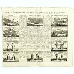
Vue et description des principales villes de l'Armenie et de la Georgie avec les habillements des femmes du pays, et ceux des prêtres et religieux armeniens. . .Tom: V N° 11 Pag: 28
View and description of the principal Armenian and Georgian cities with illustrations of Armenian women's garments as well as priests' and monks' clothing. The views are ...
Place & Date: Amsterdam, ca 1720
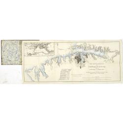
The town & harbour of Sevastopol with the batteries & approaches. . .
Rare colored linen backed map showing the harbour and town of Sevastopol, with soundings. In upper left corner a inset map (65x150mm) of the Black Sea. In bottom part a l...
Place & Date: London, March 27th, 1854
[Voyage en Suisse / Reise die Schweiz.]
A first edition children's folding board game of Switzerland and its many places and sights to visit. Although it is missing most of its original components (dice, cards,...
Place & Date: Switzerland, 1891
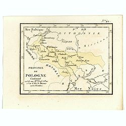
Province de Pologne contenant 22 Col. une M.on Prof 5 Pen. 2 Nov. 6 Rés. 30 Maisons 1050 Jésuites.
Rare map of Poland from "Atlas Universel indiquant les établissemens des Jésuites: avec la manière dont ils divisent la terre, suivi desévénemens remarquables d...
Place & Date: Paris, Ambroise Dupont , 1826
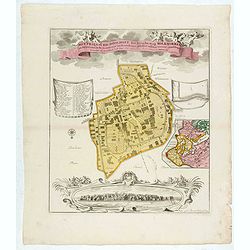
Het Friessche Doolhoff, het beruchte dorp Molk-Worren
Uncommon map made in 1718 by Johannes Hilarides, principal at the Latin School in Bolsward.. Probably the only printed plan of a Frisian village of that time. The map was...
Place & Date: Amsterdam, 1705
Candia [Map of the island Crete]
Very rare map of the island Crete published in the first edition of "Viaggio da Venetia, a Costantinopoli. Per Mare, e per Terra, & infieme quello di Terra Santa...
Place & Date: Venice, Giacomo Franco, 1598
Military map of the countries between Odessa & Perekop with the stations of the Russian forces.
Rare colored linen-backed map showing Russian troop positions and Odessa Batteries. On the inside of the cover a list of "Wyld's list of recent publications : seat o...
Place & Date: London, ca. 1855
(Art déco gouache with winter scene of The Palace of Westminster )
Outstanding "art deco" gouache (unsigned) from the workshop of "Robert Pichon. Ateliers de Dessin et Lithographie – 10, rue Rochechouart – Paris. The ...
Place & Date: Paris, ca. 1930
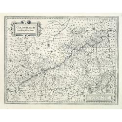
Coloniensis Archiepisscopatus.
Extremely rare first edition of this beautiful map of Cologne and Dusseldorff.Jodocus Hondius Jr. planned to produce a new modern atlas less dependent on the Mercator pla...
Place & Date: Amsterdam, 1629
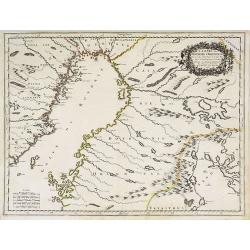
Cajanie, ou Bothnie Orientale Tirée de celles d'Andr Burae et de Isaac Massa. . .
Map of the Northern part of Gulf of Bothnia, today's border area between Sweden and Finland. The map derive from the work of the Swedish cartographer Andreas Bureus and I...
Place & Date: Paris, P.Mariette, 1666
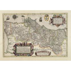
Portugalliae que olim Lusitania..
The best-known map of Portugal, after Alvares Secco (1560), orientated west to the top of the sheet. Secco's map was copied by many mapmakers and publishers for upwards o...
Place & Date: Amsterdam, 1628
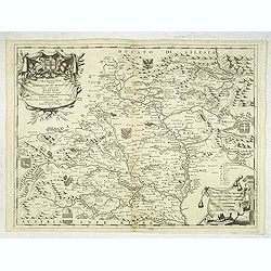
Marcomania hoggidi Merchesato de Moravia. . .
Although Komensky's map of Moravia was already known in his time, Coronelli used the obsolete map by Fabricius, with a lot of locations added by the publisher's unchained...
Place & Date: Venice, 1696
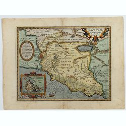
Latium.
Based on classical authors' sources, specifically Virgilius, Plinius, Varro, Halicarnasseus, Festus and Ausonius.Philip Wingius in his letter to Ortelius from 1592 mentio...
Place & Date: Antwerp, 1595
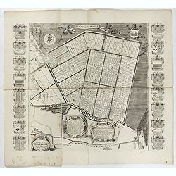
Chaerte vande Wieringer waert, de welcke inden jaere XVI… (Wieringerwaard)
Rare wall map of the Wieringerwaard polder, as raffled on 12 July 1611. The polder was laid dry in 1610. It border, and also the border of the municipality, were the Zuid...
Place & Date: 1741-1744
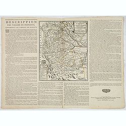
Les vallées du Piemont. Habitees par les Vaudois ou Berbets. . .
Detailed map of Piedmont region covering French and Italian territories. Surrounded by a French text description "Description des vallées du Piemont qu'habitent par...
Place & Date: Paris, 1690
[West Central London from Booth's Poverty Map of London]
A map of West Central London, one section (of twenty) of an extended version of the incredibly influential Poverty Map, originally published in Charles Booth's 'Life and ...
Place & Date: London, 1900
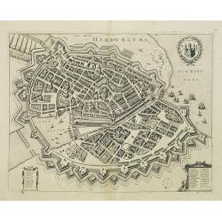
Hamburgum.
Engraved bird's-eye town-plan of Hamburg, two keys below. Frederick de Wit published after 1694 a town book of European and Asian cities (Theatrum Praecipuarum Totius Eur...
Place & Date: Amsterdam, ca. 1694
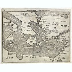
Tafel der Lender darin der Apostel Paulus geprediget hat.
Rare wood block map depicting the Mediterranean, with an over-sized Cyprus from the final Dutch edition of Heinrich Bünting's famous Itinerarium Sacrae Scripturae, a boo...
Place & Date: Magdeburg, 1581
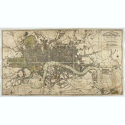
London in Miniature With The Surrounding Villages. An Entire New Plan In which the Improvements both present and intended are actually reduced, by permission, from the surveys of the Several Proprietors. . .
Hand-coloured engraved map, dissected and mounted on linen, orange publishers label on one side, extending west to east from Kensington to East India and Greenwich Dock a...
Place & Date: London, 1821
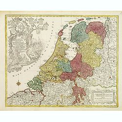
Belgica Foederata. . .
Decorated with a cartouche showing the coats of arms of Zeeland, Holland, Utrecht, Friesland, Groningen and Overijssel. T.C. Lotter married M. Seutter's daughter in 1740 ...
Place & Date: Augsburg, ca.1760
Carte de la Coste de La Rochelle a Brouaige et de l'Isle d'Oleron Observee par le S.r de Chattillon ingenieur du Roy.
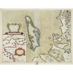
Map of the island of Oléron, with an inset in lower left corner showing the route of an English fleet to La Rochelle. At the time of mapping the area was a stronghold of...
Place & Date: Paris, 1627
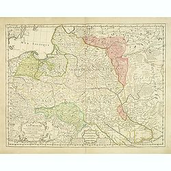
La Pologne Dressée sur ce qu'en ot donné Starovolsk, Beauplan, Hartnoch. . .
Large map of Poland, Lithuania, Belarus and part of Ukraine. The map is filled with detail and decorated with a title cartouche flanked by mythological figures.According ...
Place & Date: Paris, 1773 - 1780
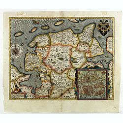
Typus Frisiae Orientalis à Dullarto
One of the most decorative maps of East Frisia and its important shipping center of Emden and the Watten Islands, from the cartography of Ubbo Emmius, a local cartographe...
Place & Date: Amsterdam, ca. 1624
Anverpia, nobile in Barbantia oppidum, parrim maritimum . . . [Antwerp]
The bird's-eye plan provides an excellent view of the citadel, city, docks and fortifications. The city was defended by a line of fortification and a moat constructed und...
Place & Date: Cologne, 1585
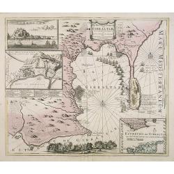
De Haven en Straat von Gibraltar, Niewlyks getekend, en in`t licht gebracht door Johannes Covens en Cornelis Mortier tot Amsterdam.
Decorative map showing the siege of Gibraltar during the Spanish war of succession. This highly interesting map is richly ornated with three additional inset maps and vie...
Place & Date: Amsterdam, 1710
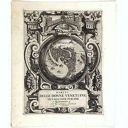
Habiti delle Donne Venetiane . . .
Title page of the book Habiti delle Donne Venetiane" (Dress of Venetian Women) which consists of twenty numbered plates of ornately dressed women. This very decorati...
Place & Date: Venice, ca. 1591
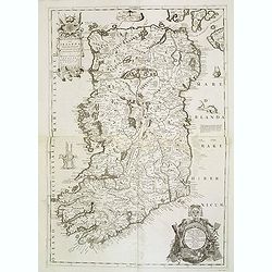
Parte settentrionale dell' Irlanda / Irlanda parte meridionale . . .
A beautiful and flamboyantly engraved grand two-sheet map of Ireland. Embellished with two cartouches, a vessel under sail and a sea monster.The map is the product of the...
Place & Date: Venice, 1696
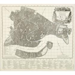
Nuova Pianta Iconografica.. Venezia.
Precise bird's-eye town-plan of Venice, clearly depicting the city's architectural landmark, being a reduction of Ughi's 8-sheet map of 1725. There is a grid engraved ove...
Place & Date: Venice, 1818
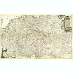
Deutschlands Postkarte begraenzt von Oesterreich, Preussen, Frankreich, Holland, Italien und der Schweiz. . .
Detailed and important post road map prepared by Ignaz Heymann. The map shows, the Low Countries, Germany, Poland, Austria, Hungary, etc.Borders in original out-line colo...
Place & Date: Triest, 1800
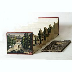
Optique de St.Cloud.
This perspective view of St. Cloud comprises 6 hand colored images of the grand Bassin d'Apollon viewed through an square and two round holes cut out from the front card ...
Place & Date: Paris, ca.1845
Bressia vulgo Bresse. [colored by Van Santen]
Title cartouche with putti and surveyor with surveying instruments. Upper right-hand corner Geneva, lower left Lyon and in the center Bourg-en Bresse. Upper right-hand co...
Place & Date: Amsterdam, 1650
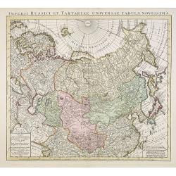
Imperii Russici et Tartariae Universae tabula novissima.
Decorative and rare map covering Russia, Tibet, China, Tartary, Korea, Taiwan and Japan prepared by J. M. Hasius. The sea between Japan and Korea is mentioned Mare Orient...
Place & Date: Utrecht, 1743
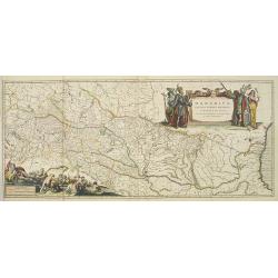
Danubius Fluvius Europae Maximus, a Fontibus ad Ostia..
Depicts the course of the Danube River, from its sources in the Alps to the Black Sea..Because of the dimensions the map was printed from two copper plates.With two very ...
Place & Date: Amsterdam, 1638
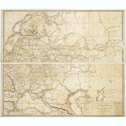
Carte des routes de poste de la Russie européenne, exécutée par ordre de S.E.M. le duc de Feltre ministre de la Guerre, ...
Post-route map on a scale of 1:2 500 000 made during the French campaign in Russia, which began June 24, 1812. With a table of the conventional signs and a table of conve...
Place & Date: Paris, Dépôt Général de la Guerre 1812
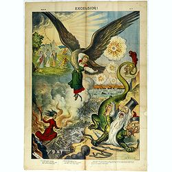
Excelsiori (Rana N. 28 - Cent. 20).
"After so many wars and so many troubles, young Russia, in a more serene glaze all the beautiful sun of freedom you will enjoy ... ". Fascinating allegorical sa...
Place & Date: Bologna, 1905
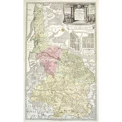
Potentissimo Borussorum Regi Friderico Wilhelmo Maiestate, Fortitudine Clementia Augustissimo Hancce Lithuaniam Borussicam : in qua luca coloniis Salisburg., ad incolendum Regio nutu...
Potentissimo Borussorum Regi Friderico Wilhelmo Maiestate, Fortitudine Clementia Augustissimo Hancce Lithuaniam Borussicam : in qua luca coloniis Salisburg., ad incolendu...
Place & Date: Nuremberg, 1735
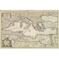
La mer Mediterranee divisee en ses principales parties ou mers. . .
Very large map centered on the Mediterranean. With a sub title along upper margin "La Mer Mediterranée divisée en Mer de Levant et de Ponant Subdivisées en Leurs ...
Place & Date: Amsterdam, c.1705
Generalkarte vom Königreich Preussen u. d. Herz[ogtum] Warschau nach astronomischen Ortsbestim[m]ungen und geodätischen Messungen. . .
Rare seemingly unrecorded map of Poland with its borders after the Congress of Vienna, probably based on a lost first edition of Daniel Friedrich Sotzmann's (1754-1840) m...
Place & Date: Nuremberg, Schneider & Weigel 1815
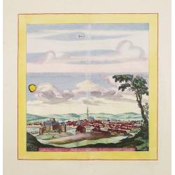
Volna.
Very decorative and rare panoramic town-view of Volna. We have more Anna Beek prints available.The engraver and publisher of prints, Mrs. Anna Beek of the Hague, enlarg...
Place & Date: The Hague, ca. 1700
[Spain and Portugal]
A rare map of Spain and Portugal engraved by Jan and Lucas van Deutecom and published by Gerard de Jode, Antwerp 1593. Latin text on verso.The map appeared in the second ...
Place & Date: Antwerp, 1593
![[Voyage en Suisse / Reise die Schweiz.]](/uploads/cache/48396-250x250.jpg)
![Candia [Map of the island Crete]](/uploads/cache/45233-250x250.jpg)

![[West Central London from Booth's Poverty Map of London]](/uploads/cache/40267-250x250.jpg)
![Anverpia, nobile in Barbantia oppidum, parrim maritimum . . . [Antwerp]](/uploads/cache/26518-250x250.jpg)
![Bressia vulgo Bresse. [colored by Van Santen]](/uploads/cache/29235-250x250.jpg)
![Generalkarte vom Königreich Preussen u. d. Herz[ogtum] Warschau nach astronomischen Ortsbestim[m]ungen und geodätischen Messungen. . .](/uploads/cache/37060-250x250.jpg)
![[Spain and Portugal]](/uploads/cache/47718-250x250.jpg)