Browse Listings in Europe
[ Map of the island Nexos]
Very rare map of the island Naxos published in the first edition of "Viaggio da Venetia, a Costantinopoli. Per Mare, e per Terra, & infieme quello di Terra Santa...
Place & Date: Venice, Giacomo Franco, 1598
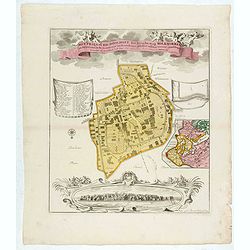
Het Friessche Doolhoff, het beruchte dorp Molk-Worren
Uncommon map made in 1718 by Johannes Hilarides, principal at the Latin School in Bolsward.. Probably the only printed plan of a Frisian village of that time. The map was...
Place & Date: Amsterdam, 1705
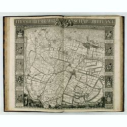
't Hooge Heemraedschap van Delfland met alle de Steden, Dorpen, Ambachten, Litmaten, Polders, (etc.).
The so-called Kruquius map is a wall-map of the Delfland water board district. The map consists of 25 engraved map sheets. Several maps flanked by fine large armorial car...
Place & Date: Delft, 1712-1750
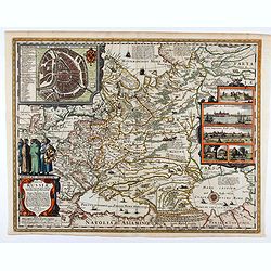
Tabula Russiae.
One of the most decorative maps of Russia, based on the work of Fedor Borisovich. Visscher's version of Hessel Gerritsz' rare map of Russia. In an inset -130x170mm- a pla...
Place & Date: Amsterdam, 1651
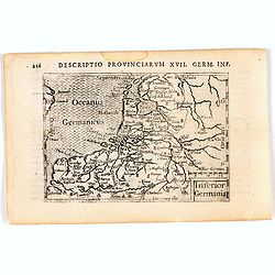
Inferior Germania.
A rare miniature map of present-day The Netherlands and Belgium. Strap-work title cartouche in the lower right corner with scale. Expertly engraved by Petrus Kaerius, the...
Place & Date: Amsterdam, 1606
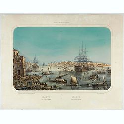
Malte Vue prise de la Mer. - Malta Vista lomada del mar.
Very decorative view of the Grand Harbour of Malta by Louis Lebreton, published in "Ports de Mer d’Europe" in 1859 by L. Turgis in Paris.This lithography show...
Place & Date: Paris, Turgis, 1859
[Spain and Portugal]
A rare map of Spain and Portugal engraved by Jan and Lucas van Deutecom and published by Gerard de Jode, Antwerp 1593. Latin text on verso.The map appeared in the second ...
Place & Date: Antwerp, 1593
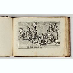
Deliciae Batavicae.
It is a charming book illustrated with portraits of Willem of Orange and Prince Maurits and eight engraved armorial plates. Followed by 30 engraved views or scenes of ...
Place & Date: Amsterdam, Johannes Janssonius, 1618
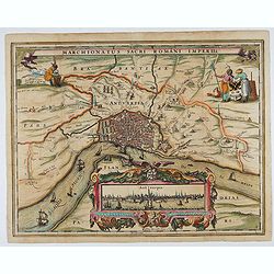
Marchionatus Sacri Romani Imperii.
A wonderfully decorative map showing in the middle of the image a town plan from Antwerp and in the lower part an inset with a panoramic view of the city and harbour of A...
Place & Date: Amsterdam, 1617- 1624
Traiectum ad Mosam. [Maastricht]
A birds-eye view of Maastricht seen from the south. Rising on Vrijthof square is the dominant complex of Sint-Servaas, in front of which - seen here in a distorted perspe...
Place & Date: Cologne, ca. 1581
![[ Map of the island Nexos]](/uploads/cache/45289-250x250.jpg)
![[Spain and Portugal]](/uploads/cache/47718-250x250.jpg)
![Traiectum ad Mosam. [Maastricht]](/uploads/cache/47901-250x250.jpg)