Browse Listings in Asia > China > China General
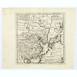
The Empire of China and Island of Japan. . .
The map is of interest for the use of East Sea, the sea between Korea and Japan, here called "Sea of Corea". Some interesting notations are made. From his atlas...
Place & Date: London, 1736
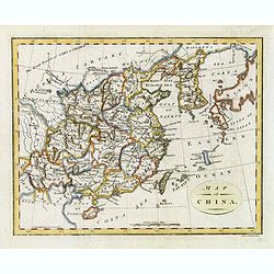
Map of China.
Showing China, Taiwan and Korea, divided into provinces with the main cities marked. The map is of interest for the use of Sea of Corea, the sea between Korea and Japan, ...
Place & Date: London, 1804
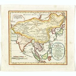
Charte von China und den angränzenden Ländern und Völkerschaften so wie den letzten Kaiser Tschien-Long. . .
Uncommon map of China on a scale of ca. 1:6,000,000. The map's complete title is “Charte von China und den angränzenden Ländern, und Völkerschaften so wie sie dem le...
Place & Date: Parague, 1812
Selling price: $400
Sold in 2023
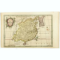
A new & accurate map of the Empire of China from the Sieur Robert's Atlas. With improvements.
An excellent early engraving of China and Korea that appeared in Sieur Robert de Vaugondy's Geographical Dictionary (London: 1759). Decorative title cartouche on the uppe...
Place & Date: London, 1759
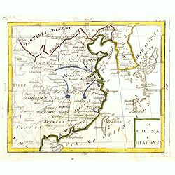
La China e Giapone.
Uncommon map of China, Korea, Japan and Taiwan (I.Formosa), only one town labeled, Tayoan. Very strange shape for Japan.The map is of interest for the use of Mar di Corea...
Place & Date: Italy, ca. 1800
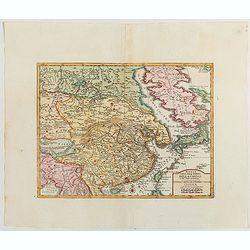
Nuova carta dell' Imperio della Chia e dei Paesi circonvicini. / Nueva carta de l'Impario de la Quina.
The map is of interest for the use of Mar di Corea" and "Mar Setentrionale del Giapone" in the sea between Korea and Japan.Rare early edition of Albrizzi's...
Place & Date: Venice, 1740
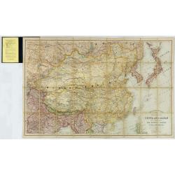
Standford's map of the empires of China and Japan with the adjacent parts of the Russian Empire, India, Burma &c.
Charming, folding map of China and Japan with the adjacent parts of the Russian Empire, India, and Burma. A key identifies railway lines in red, projected railway lines i...
Place & Date: London, ca. 1911
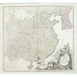
L'Empire de la Chine. . .
Detailed map of China, Korea and Taiwan. The large title cartouche is resplendent in the French style with musicians, a dancer, and various accouterments representative o...
Place & Date: Paris, dated 1750
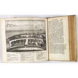
Hedendaegsche Historie of tegenwoordige staet van alle volkeren 1 deel. (Volume 1 - China, Japan, Phillippines, Moluccas)
This provides an interesting illustrated description of China, Japan, the Phillippines, Moluccas. Including a map of China, Korea, and Japan, with the Sea between Korea a...
Place & Date: Amsterdam, 1734
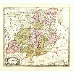
Imperii Sinarum nova descriptio.
Schenk and Valk's rare early 18th century issue of Janssonius milestone map of China, Korea and Japan after Martino Martini. Engraved by Johannes van Loon. The overall ba...
Place & Date: Amsterdam, ca. 1720
