Browse Listings in Atlases
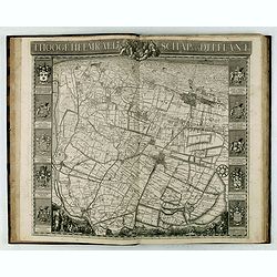
't Hooge Heemraedschap van Delfland met alle de Steden, Dorpen, Ambachten, Litmaten, Polders, (etc.).
The so-called Kruquius map is a wall-map of the Delfland water board district. The map consists of 25 engraved map sheets. Several maps flanked by fine large armorial car...
Place & Date: Delft, 1712-1750
Beschrijving van Oud en Nieuw Oost-Indien. Vervattende een Naukeurige en uitvoerige verhandelinge van Nederlands Mogentheyd [...] met meer dan thien honderd en vyftig Prentverbeeldingen verrykt...
"The most comprehensive work on Asia published in Europe during the early colonial period" (Landwehr). The first book to give a comprehensive account in text an...
Place & Date: Dordrecht /Amsterdam, 1724-1726
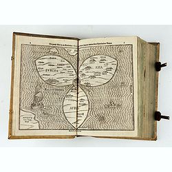
Itinerarium Sacrae Scripturae. Das ist: Ein Reisebuch...
Itinerarium Sacrae Scripturae. Das ist: Ein Reisebuch, Uber die gantze heilige Schrifft, in zwey Bücher geteilet... Zuvor gemehret mit einem Büchlein De monetis et mens...
Place & Date: Magdenburg, 1587
ATLAS RUSSICUS mappa una generali et undeviginti specialibus vastissimum Imperium Russicum cum adiacentibus regionibus [repeated in French].
After an unnumbered general map of Russia there are 13 numbered maps that cover European Russia (scale 1, 1.527.000). The other (last) 6 maps cover Asian Russia (Siberia,...
Place & Date: St Peterburg, Akademie von Wissenschaften. 1745
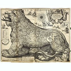
Composite atlas of the Low Countries.
A composite atlas comprising 18 double-page engraved maps by or after Hessel Gerritsz, Theodoor Galle, Jacob van Deventer, Gerard Mercator, Peter Verbiest, Jean Surhon, C...
Place & Date: [Antwerp, c. 1633
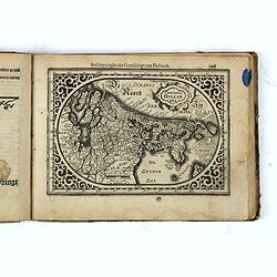
Nieuw Nederlandtsch Caertboeck. Waer in volkomentlijcker als oyt te voren vertoont werden de XVII. Nederlanden.
Rare first edition of this atlas of the provinces of the Netherlands, Belgium and Luxemburg. Engraved title page, with : "Gedruckt t' Amsterdam by Abraham Goos Plaet...
Place & Date: Amsterdam, 1616
Ch'onha chido. [Atlas of all under Heaven]
A late 18th century Ch'onha chido atlas with 10 woodblock maps showing the World, China and the 8 province maps of Korea, bound into thicker mulberry paper covers. One ma...
Place & Date: Korea, ca. 1780
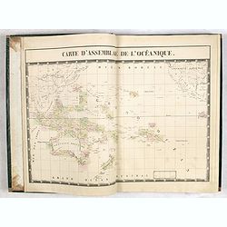
Atlas Universel de Géographie. Sixième partie - Océanique.
Volume 6 including detailed maps of Australia, New Zealand, Hawaii, Pacific islands, Indonesia and 3 maps of the Philippines. With title page and one general map.Supporte...
Place & Date: Brussels 1827
Chorographica descriptio provinciarum, et conventum fratrum minorum S. Francisci Capucinorum...
All maps are good and dark impressions. Several maps with slight foxing and browning, the folding map with 2 splits (top right part 10 cm and lower left part 6 cm into en...
Place & Date: Turin, 1649
Le Théâtre du monde dédié au roi contenant les cartes générales et particulières des royaumes et états qui le composent.
The present example of the Théâtre du monde is the reissue of 1746 by Jean-Baptiste Nolin II. This scarce atlas is illustrated with 123 maps mostly double-page, in orig...
Place & Date: Paris, 1746
![Beschrijving van Oud en Nieuw Oost-Indien. Vervattende een Naukeurige en uitvoerige verhandelinge van Nederlands Mogentheyd [...] met meer dan thien honderd en vyftig Prentverbeeldingen verrykt...](/uploads/cache/47258-250x250.jpg)
![ATLAS RUSSICUS mappa una generali et undeviginti specialibus vastissimum Imperium Russicum cum adiacentibus regionibus [repeated in French].](/uploads/cache/27877-250x250.jpg)
![Ch'onha chido. [Atlas of all under Heaven]](/uploads/cache/44640-250x250.jpg)
