Browse Listings in Europe
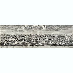
Paris.
A spectacular panoramic view of Paris, with legends numbered from 1-70 in French. With the title in a banderol.After a design by Friedrich Bernhard Werner (1690-1776) who...
Place & Date: Augsbourg, ca. 1740
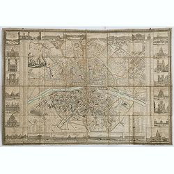
Nouveau Plan Routier de la Ville et Faubourgs de Paris // Avec ses principaux Edifices et Nouvelles Barrieres.
Decorative wall map of Paris, published by M. P|chon in Paris and engraved by Michel Glot. The plan is framed by a floral border and there are 27 Parisian views of places...
Place & Date: Paris, 1834
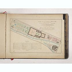
Société de la Charité Maternelle à Paris. Plan de le ville de Paris, Divisé par Quartiers avec Nomenclature.
>Rare atlas de Paris dressé par E. Devrainne, divisé en 80 quartiers et colorié par Le Roux (Le Roux pinxit). Illustré d'une page de titre aux armes de Paris avec ...
Place & Date: Imprimerie Mercier, Clichy, 1876
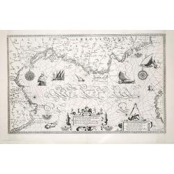
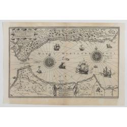
(Sea-chart of Catalunia, Languedoc, Provence, Cote d'Azur, Riviera, Corsica with Marseille, Cannes, Nice, Monaco.)
This very rare chart is important as the first printed sea chart of France's Mediterranean coast, also depicting Catalunya's northern coast, the Italian Cote d'Azur till ...
Place & Date: Amsterdam, 1607
Hydrograhica descriptio
This very rare chart is important as the first printed sea chart of the Mediterranean coast of Spain, Gibraltar, also depicting the northern coast of Marocco.Willem Bar...
Place & Date: Amsterdam, W.Blaeu, 1612
Langwasser Stanislau Neu Brandenburg Mei 1942 Juni 1945
Map met reproducties van crayontekeningen van Krijgsgevangenschap in Langwasser, Stanislau en Neu-Brandenburg, Mei 1942 -juni 1945.Uitgegeven april 1948 door het Minister...
Place & Date: Den Haag, April 1948
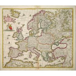
Nova et Accurata totius EUROPAE Descriptio Authore Frederico de Wit Amstelodami.
General map of Europe richly ornamented with small compass rose and Europa shown riding Zeus in the form of a bull, and several putti holding the title banner aloft.
Place & Date: Amsterdam, 1680
