Browse Listings in America > North America > North Pole
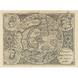
Polus Arcticus cum vicinis regionibus.
Map of the North Pole regions from the 1608 second edition of Jodocus Hondius' Atlas Minor.A reduction of the 1606 Mercator-Hondius folio map (which is a later state of t...
Place & Date: Amsterdam, 1608
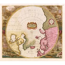
Poli Arctici, et circumiacentium terrarum descriptio novissima. . .
A re-issue of the Hondius' plate. A particularly decorative map of the North Pole with Iceland. Several Dutch names in Labrador. The toponymy in Canada reflects the conti...
Place & Date: Amsterdam, 1660
Carte nouvelle de l'Amérique angloise contenant tout ce que les Anglois possèdent. . . avec la Floride / gravée. . . par Maththias Albert Lotter. . .
As mentioned in the title piece, the map includes the area at that time in the possession of the English, i.e. Canada, New Large, beautiful and detailed map of the Easter...
Place & Date: Augsburg, 1777
ETATS-UNIS DE L'AMÉRIQUE SEPTENTRIONALE Avec LES ISLES ROYALE, DE TERRE NEUVE, DE S.T JEAN, L'ACADIE, &c. 1785. Supplement a l'Atlas de M. Robert de Vaugondy a Paris Ches Boudet Ingenieur du Roi.
A map of the eastern United States with "Supplément à l'atlas de M Robert de Vaugondy à Paris chez Boudet Imprimeur du Roi", in place of the attribution to D...
Place & Date: Paris, 1785
Etats-Unis de L'Amerique Septentrionale. [Two sheets in manuscript ]
Two sheets giving an detailed information in French, about population in the year 1810, principal cities, products of industry and commerce, financial situation for the y...
Place & Date: France, ca. 1819
Missions et Résidences dans la Partie Septentrionale de l'Amérique Contenant 50 Jésuites.
Very rare missionary map of North America from "Atlas Universel indiquant les établissemens des Jésuites: avec la manière dont ils divisent la terre, suivi desév...
Place & Date: Paris, Ambroise Dupont , 1826
Portrait de Benjamin Franklin.
Portrait de Benjamin Franklin. From Giulio Ferrario's work Le Costume ancien et moderne ou histoire du gouvernement, de la milice, de la religion, des arts, etc. publishe...
Place & Date: Milan, 1827
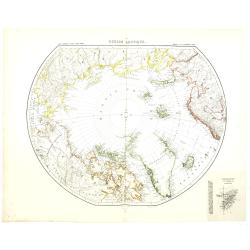
Région arctique.
Decorative map of the North Pole, prepared by Louis Vivien de Saint-Martin (* 22. Mai 1802 in Saint-Martin de Fontenay, died 3 January 1897 in Paris). He was one of the m...
Place & Date: Paris, Hachette, 1877
The Greyhound Map of This Amazing America. . .
A large colored lithograph map of the USA, published by the Greyhound Corporation during the second world war. The map demonstrates where all the Greyhound bus routes int...
Place & Date: United States, 1941