|
Click here to view in thumbnail view | Argentina |
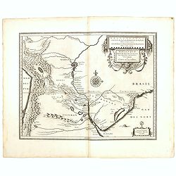
| BLAEU, W - Paraguay o Prov. de Rio de la Plata cum regionibus adiacentibus Tucuman et Sta. Cruz de la Sierra. Amsterdam, 1634, Uncoloured.. 370x480mm. Slight discolouration to centerfold and very light marginal water stains and a small rust spot affecting the engraved surface. Good strong, dark impression. Very good condition. Blaeu's map of the Rio de la Plata region of South America. Originally engraved for Jodocus Hondius II, at his death in August 1629 this map was, among 39 other copper plates, purchased by Willem Blaeu who deleted Hondius' name and added...
(Click on title or image to go to item page)
|
Condition:
 |
|
| COOK, Captain James. - Carte de Maidenland ou de la Virginie de Hawkins, Découverte par Sir Richard Hawkins en 1574, et du Canal Falkland . . . [Tome I Pl.7.] Paris, 1774, Uncoloured.. 217x292mm. Center fold as issued. Good condition. Chart shows the Falkland Islands and the Falkland Straits discovered by Sir Richard Hawkins in 1574. Shows many harbors, channels, capes, bays, shoals, islands, rocks, soundings and ships tracks circumnavigating the islands.
This print is taken from the first French edition of James Cook's f...
(Click on title or image to go to item page)
|
Condition:
 |
|
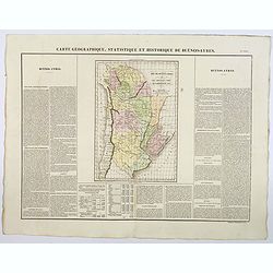
| BUCHON, J.A. - Carte Geographique, Statistique et Historique de Buenos-Ayres. Paris, 1825, In original colours.. 445x610mm. In mint condition. Lightly age toned. Wide margins etc. A nice detailed map of what is today northern Argentina (Rep. of Buenos Ayres or the United Provinces of South America) from Buchon's Atlas Gégraphique Statistique, historique et chronologique des deux Ameriques et des isles adjacentes traduit de l'atlas exécuté en Amerique d'aprés Lesage, avec d...
(Click on title or image to go to item page)
|
Condition:
 |
|
| MONQAUT / VAZQUEZ MILLAN - Plano de los Ferro-Carriles de Republica Argentina 1902. Buenos Aires, ca. 1902, In original printed colours.. 915x690mm. Bound in cloth covers, front cover gilt titled, marbled endpapers. Very good copy, underlaid with cloth (minor traces of use). Red seller' stamp on verso. Paper has been varnished for durability.
Folding rail road map of Argentina, with inset of Buenos Aires in upper right corner....
(Click on title or image to go to item page)
|
Condition:
 |
|
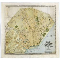
| ESCALANTE, E. - Nuevo plano de la ciudad de Buenos Aires y parte del partido de avellaneda . . . Buenos Aires, 1912, In original printed colours.. 610x645mm. Lithography in colours. Cut on neat line and laid down on Japan paper for protective reason. Very minor damage to paper surface. Generally very good impression. A rare detailed city plan of Buenos Aires prepared in 1912 by Ernesto Escalante. The plan depicts the city from the Partido de Avellaneda and the Villa Riachuelo to the Rio de la Plata and from the Avenida General Paz to the Rio de la Plata. Streets are illustrated and labeled throughout the ci...
(Click on title or image to go to item page)
|
Condition:
 |
| |
|