Browse Listings
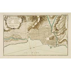
Ville du Cap dans l'Isle de St Domingue.
This chart shows the territories of city of Cap in Isle of St Domingue. Engraved by Croisey.The only issue of this version of Bellin's map, slightly larger than the commo...
Date: Paris 1764
Selling price: ????
Please login to see price!
Sold
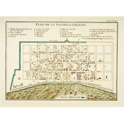
Plan de la Nouvelle Orléans.
A map of New Orleans.The only issue of this version of Bellin\'s map, slightly larger than the common version. Depths shown by soundings.From Bellin\'s Petit atlas mariti...
Date: Paris 1764
Selling price: ????
Please login to see price!
Sold
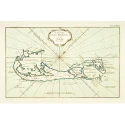
Carte des Isles Bermudes ou de Sommer.
This chart shows the island of Bermuda.The only issue of this version of Bellin's map, slightly larger than the common version. Depths shown by soundings.From Bellin's Pe...
Date: Paris 1764
Selling price: ????
Please login to see price!
Sold
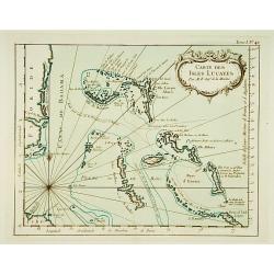
Carte des Isles Lucayes.
This chart shows the territories of the Bahamas, and the East coast of southern Florida. The only issue of this version of Bellin's map, slightly larger than the common v...
Date: Paris 1764
Selling price: ????
Please login to see price!
Sold
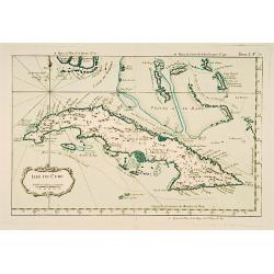
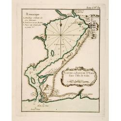
Isle de Cube.
This chart shows the island of Cuba.The only issue of this version of Bellin's map, slightly larger than the common version. Depths shown by soundings.From Bellin's Petit...
Date: Paris 1764
Selling price: ????
Please login to see price!
Sold
Embouchures du Fleuve St Louis ou Mississipi.
Shows the Mississippi River where it empties into the Gulf of Mexico.The only issue of this version of Bellin's map, slightly larger than the common version. Depths shown...
Date: Paris 1764
Selling price: ????
Please login to see price!
Sold
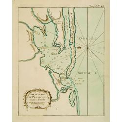
Plan de la Baye de Pensacola dans la Floride.
This chart shows the territories of the inlet of Pensacola in Florida The only issue of this version of Bellin's map, slightly larger than the common version. Depths show...
Date: Paris 1764
Selling price: ????
Please login to see price!
Sold
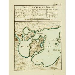
Plan de la Ville de Boston.
One of the earliest obtainable town plans of Boston, from Bellin's Petit Atlas Maritime. Shows Boston 13 years prior to the American Revolution.The only issue of this ver...
Date: Paris 1764
Selling price: ????
Please login to see price!
Sold
Carte de la Baye de Baston. [Boston]
A nice chart of the bay and city plan of Boston. Islands and navigation hazards are all clearly marked. Fleur-de-lys and rhumb lines.The only issue of this version of Bel...
Date: Paris 1764
Selling price: ????
Please login to see price!
Sold
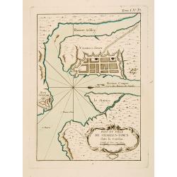
Port et Ville de Charles-Town dans la Caroline.
This chart shows a block plan of Charleston and the entrance to the harbour where the Cooper and Ashley Rivers meet. Fort Johnson is sketched on the shore at the entrance...
Date: Paris 1764
Selling price: ????
Please login to see price!
Sold
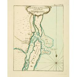
Plan du Port de St Augustin dans la Floride.
This chart shows a plan of the Port of St. Augustine in Florida.The only issue of this version of Bellin's map, slightly larger than the common version. Depths shown by s...
Date: Paris 1764
Selling price: ????
Please login to see price!
Sold
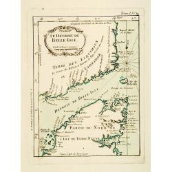
Le Détroit de Belle-Isle.
This chart shows the territories of Strait of Belle-Isle with parts of Labrador and northern part of Newfound land.The only issue of this version of Bellin's map, slightl...
Date: Paris 1764
Selling price: ????
Please login to see price!
Sold
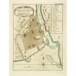
Ville de St. Domingue dans l'Isle de ce Nom.
This chart shows a plan of the city of Santo Domingo on the Dominican Republic. With a lettered key to the principal places in town.The only issue of this version of Bell...
Date: Paris 1764
Selling price: ????
Please login to see price!
Sold
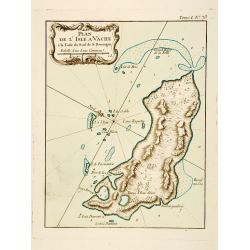
Plan de l'Isle A Vache a la Coste Sud de S. Domingue.
This chart shows the little island l'Isle à Vache on present day Haiti.The only issue of this version of Bellin's map, slightly larger than the common version. Depths sh...
Date: Paris 1764
Selling price: ????
Please login to see price!
Sold
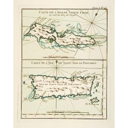
Carte de l'Isle de Sainte Croix au Sud des Isles des Vierges. / Carte de l'Isle de Saint Jean de Portorico.
This chart shows the islands of Sainte Croix and Isle Saint Jean de Porto Rico The only issue of this version of Bellin's map, slightly larger than the common version. De...
Date: Paris 1764
Selling price: ????
Please login to see price!
Sold
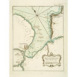
Baye de Matance dans l'Isle de Cube.
This chart shows the Bay of Matance on the island of Cuba.The only issue of this version of Bellin's map, slightly larger than the common version. Depths shown by soundin...
Date: Paris 1764
Selling price: ????
Please login to see price!
Sold
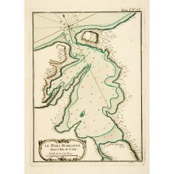
Le Port Marianne dans l'Isle de Cube.
This chart shows the bay of the harbour of Marianne on the island of Cuba. The only issue of this version of Bellin's map, slightly larger than the common version. Depths...
Date: Paris 1764
Selling price: ????
Please login to see price!
Sold
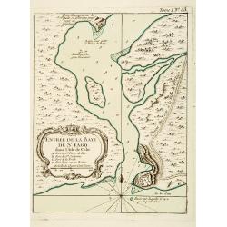
Entrée de la Baye de St Yago dans l'Isle de Cube.
This chart shows the bay of St Yago on the island of Cuba.The only issue of this version of Bellin's map, slightly larger than the common version. Depths shown by soundin...
Date: Paris 1764
Selling price: ????
Please login to see price!
Sold
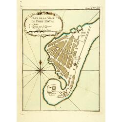
Plan de la Ville de Port Royal.
Plan of the city of Port Royal on Arcadia.The only issue of this version of Bellin's map, slightly larger than the common version. From Bellin's Petit atlas maritime.Tome...
Date: Paris 1764
Selling price: ????
Please login to see price!
Sold
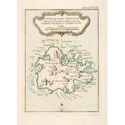
Carte de l'Isle d'Antigue Située par la Latitude 17 Degrés et par la Longitude de 64 Degrés à l'Occident de Paris
This chart shows the island of Antigua.The only issue of this version of Bellin's map, slightly larger than the common version. Depths shown by soundings.From Bellin's Pe...
Date: Paris 1764
Selling price: ????
Please login to see price!
Sold
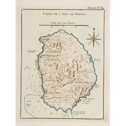
Carte de l'Isle de Nieves.
This chart shows the island of Nieves. The only issue of this version of Bellin's map, slightly larger than the common version. Depths shown by soundings.From Bellin's Pe...
Date: Paris 1764
Selling price: ????
Please login to see price!
Sold
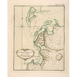
Environs du Fort Louis de la Guadeloupe.
This chart shows the territories around Fort Louis on the island of Guadeloupe The only issue of this version of Bellin's map, slightly larger than the common version. De...
Date: Paris 1764
Selling price: ????
Please login to see price!
Sold
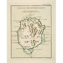
Carte de l'Isle de Marie-Galante.
This chart shows the territories of Isle Marie-Galante The only issue of this version of Bellin's map, slightly larger than the common version. Depths shown by soundings....
Date: Paris 1764
Selling price: ????
Please login to see price!
Sold
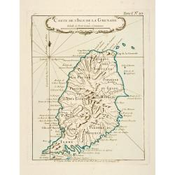
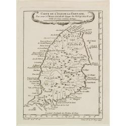
Carte de l'Isle de la Grenade.
This chart shows the island Granada.The only issue of this version of Bellin's map, slightly larger than the common version. Depths shown by soundings.From Bellin's Petit...
Date: Paris 1764
Selling price: ????
Please login to see price!
Sold
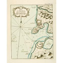
Port et Fort Royal de la Grenade.
This chart shows the territories of the harbour and fortress Royal on the island of Grenada.The only issue of this version of Bellin's map, slightly larger than the commo...
Date: Paris 1764
Selling price: ????
Please login to see price!
Sold
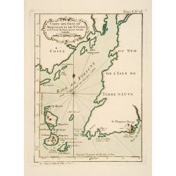
Carte des Isles de Miquelon et de St. Pierre et la Coste de Terre Neuve voisine.
This chart shows the territories of the Miquelon islands and St Pierre.The only issue of this version of Bellin's map, slightly larger than the common version. Depths sho...
Date: Paris 1764
Selling price: ????
Please login to see price!
Sold
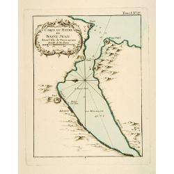
Carte du Havre de Saint-Jean dans l'Isle de Terre-neuve.
This chart shows the territories of the harbour of Saint-Jean on New Found land.The only issue of this version of Bellin's map, slightly larger than the common version. D...
Date: Paris 1764
Selling price: ????
Please login to see price!
Sold
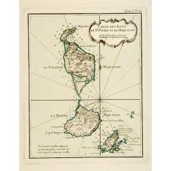
Carte Des Isles De St. Pierre et de Miquelon.
This chart shows the territories of the islands of St. Pierre and Miquelon.The only issue of this version of Bellin's map, slightly larger than the common version. Depths...
Date: Paris 1764
Selling price: ????
Please login to see price!
Sold
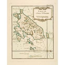
Carte de l'Isle de St. Pierre.
This chart shows the territories of the island of St. Pierre in New Found land.The only issue of this version of Bellin's map, slightly larger than the common version. De...
Date: Paris 1764
Selling price: ????
Please login to see price!
Sold
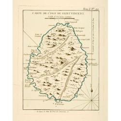
Carte de l'Isle de Saint Vincent.
This chart shows the island of St. Vincent The only issue of this version of Bellin's map, slightly larger than the common version. Depths shown by soundings.From Bellin'...
Date: Paris 1764
Selling price: ????
Please login to see price!
Sold
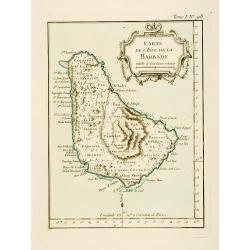
Carte de l'Isle de la Barbade.
This chart shows the island Barbados.The only issue of this version of Bellin's map, slightly larger than the common version. Depths shown by soundings.From Bellin's Peti...
Date: Paris 1764
Selling price: ????
Please login to see price!
Sold
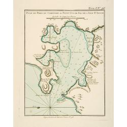
Plan du Port du Carenage ou Petit Cul de Sac de l'Isle Se Lucie.
This chart shows the territories of the harbour of Carenage or Petit Cul de Sac on the island of Sant Lucie.The only issue of this version of Bellin's map, slightly large...
Date: Paris 1764
Selling price: ????
Please login to see price!
Sold
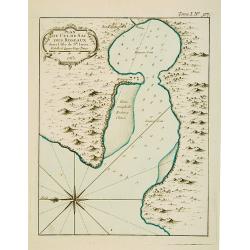
Plan du Cul de Sac des Roseaux dans l'Isle de Ste. Lucie.
This chart shows the territories of Cul de Sac des Roseaux on the island of Saint Lucie. The only issue of this version of Bellin's map, slightly larger than the common v...
Date: Paris 1764
Selling price: ????
Please login to see price!
Sold
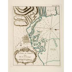
Plan du Port-au-Prince dans l'Isle de St Domingue.
This chart shows the territories of the town of Port-au-Prince on the island St Domingue.The only issue of this version of Bellin's map, slightly larger than the common v...
Date: Paris 1764
Selling price: ????
Please login to see price!
Sold
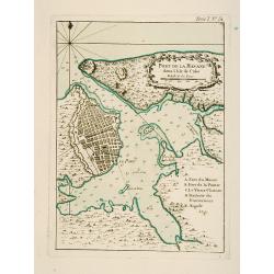
Port de la Havane dans l'Isle de Cube .
This chart shows the territories of the town and harbour of Havana on the island of Cuba.The only issue of this version of Bellin's map, slightly larger than the common v...
Date: Paris 1764
Selling price: ????
Please login to see price!
Sold
Plan de la Baye de St. Yago dans l'Isle de Cube.
This chart shows the territories and Bay of St. Yago on the island of Cuba.The only issue of this version of Bellin's map, slightly larger than the common version. Depths...
Date: Paris 1764
Selling price: ????
Please login to see price!
Sold
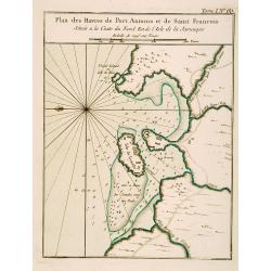
Plan des Havres de Port Antonio et de Saint François Situés a la Coste du Nord Est de la Jamaïque.
This chart shows the territories and harbour of Port Antonio on the island of Jamaica. The only issue of this version of Bellin's map, slightly larger than the common ver...
Date: Paris 1764
Selling price: ????
Please login to see price!
Sold
Suite des Isles Antilles 2.Partie. Together with 2.Partie [2 maps].
These set of 2 chart are showing the Antilles Islands of Guadeloupe, Dominique, Martinique, Grenada, St.Vincent and St. Lucie.The only issue of this version of Bellin's m...
Date: Paris 1764
Selling price: ????
Please login to see price!
Sold
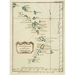
Les Petites Antilles ou Les Isles du Vent.
This chart shows the territories of the smaller Antilles or Windward islands.The only issue of this version of Bellin's map, slightly larger than the common version. Dept...
Date: Paris 1764
Selling price: ????
Please login to see price!
Sold
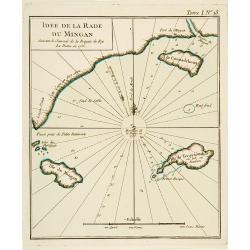
Idée de La Rade du Mingan. Suivant le Journal de la Fregate du Roy La Diane en 1755.
An engraved chart showing part of the mainland and three islands on New Found land.The only issue of this version of Bellin's map, slightly larger than the common version...
Date: Paris 1764
Selling price: ????
Please login to see price!
Sold
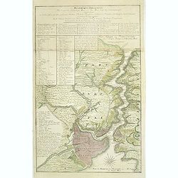
Carte d'une Grande Partie de la Colonie de Surinam.
Nice map of the Dutch colony of Suriname with excellent detail of the Suriname and Commewijne river systems, noting the boundaries of all the plantations laid along their...
Date: Paris, ca. 1764
Selling price: ????
Please login to see price!
Sold in 2008
Baye de Almerie. [4]
Charming of the bay of Almeria. Showing town and harbor plan, with soundings, anchorages, rocks, shoals, fortifications, lighthouses.Joseph Roux (1725-1793) was a Marsei...
Date: Marseille, 1764
Selling price: ????
Please login to see price!
Sold in 2009
Grande Plane de Cartagena. [5]
Charming chart of Cartagena. Showing town and harbour plan, with soundings, anchorages, rocks, shoals, fortifications, lighthouses.Joseph Roux (1725-1793) was a Marseille...
Date: Marseille, 1764
Selling price: ????
Please login to see price!
Sold in 2009
Mt de Cette. [14]
Charming of the Mount of Cette. Showing town and harbor plan, with soundings, anchorages, rocks, shoals, fortifications, lighthouses.Joseph Roux (1725-1793) was a Marsei...
Date: Marseille 1764
Selling price: ????
Please login to see price!
Sold
Grande Rade. [19]
Charming of Grande Rade . Showing town and harbor plan, with soundings, anchorages, rocks, shoals, fortifications, lighthouses.Joseph Roux (1725-1793) was a Marseilles h...
Date: Marseille, 1764
Selling price: ????
Please login to see price!
Sold
Plan de VillaFranche. [22]
Charming of Villefranche. Showing town and harbor plan, with soundings, anchorages, rocks, shoals, fortifications, lighthouses.Joseph Roux (1725-1793) was a Marseilles h...
Date: Marseille, 1764
Selling price: ????
Please login to see price!
Sold
Plan de Porto Ferara. [26]
Charming chart of Ferara harbour. Showing town and harbour plan, with soundings, anchorages, rocks, shoals, fortifications, lighthouses.Joseph Roux (1725-1793) was a Mars...
Date: Marseille, 1764
Selling price: ????
Please login to see price!
Sold in 2015
Plane de Melazo. [32]
Charming chart of the plain of Melazo. Showing town and harbour plan, with soundings, anchorages, rocks, shoals, fortifications, lighthouses.Joseph Roux (1725-1793) was a...
Date: Marseille, 1764
Selling price: ????
Please login to see price!
Sold in 2009
Fonte de la Cantera. [37]
Charming chart of Fonte de la Cantera, including fort of Saragossa. Showing town and harbour plan, with soundings, anchorages, rocks, shoals, fortifications, lighthouses....
Date: Marseille, 1764
Selling price: ????
Please login to see price!
Sold in 2009
I. Metelin. [53]
Charming chart of the island of Metelin. Showing town and harbour plans, with soundings, anchorages, rocks, shoals, fortifications, lighthouses.Joseph Roux (1725-1793) wa...
Date: Marseille, 1764
Selling price: ????
Please login to see price!
Sold in 2018
Carte de l'Isle de la Grenade, Pour servir?
Detailed map of the island Grenada by Jacques Nicolas Bellin (1703-1772), one of the most important and proficient French cartographers of the mid-eighteenth century.He w...
Date: Paris 1764
Selling price: ????
Please login to see price!
Sold
[17] La Ciotat.
Charming chart of the harbor of the town of La Ciotat on Corsica. Showing town and harbor plan, with soundings, anchorages, rocks, shoals, fortifications and lighthouses....
Date: Marseille 1764
Selling price: ????
Please login to see price!
Sold
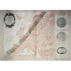
Passage de l' Ombre de la Lune au travers de l' Europe? 1er Avril 1764. / Fases de l' Eclipse telles qu'on les obsevera a Paris.
A highly uncommon map of Europe in sepia printing with superposed in black printing the track of the solar eclips of the 1st of April 1764.Calculated and engraved entirel...
Date: Paris, 1764
Selling price: ????
Please login to see price!
Sold
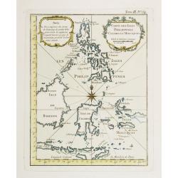
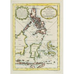
Carte Des Isles Philippines Celebes et Moluques.
Attractive map of the region showing the islands of the Philippines, Suluwesi, the Moloccus, Timor, Flores, Bali, and parts of Borneo and Java. There is no interior detai...
Date: Paris 1764
Selling price: ????
Please login to see price!
Sold
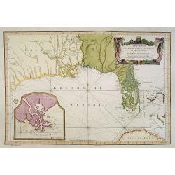
Carte Reduite Des Costes De La Louisiane Et De La Floride..
A well engraved and highly detailed chart of Florida, the Gulf Coast and the Mississippi Valley. This is one of the best examples of Florida as an Archipelago.The region ...
Date: Paris 1764
Selling price: ????
Please login to see price!
Sold in 2013
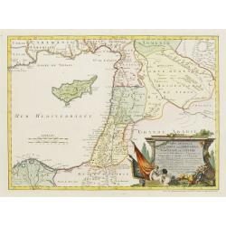
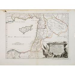
Carte Générale de la Syrie / Palestine / Isle de Chypre..
A very fine map of Syria, Palestine, and the island of Cyprus with part of the surrounding countries, prepared for the understanding of the history of the Crusades by Gui...
Date: Paris/ Bordeaux 1764
Selling price: ????
Please login to see price!
Sold
[untitled] Balearic: Isle Fromentiere & Ivice
Important chart of the island of Formentera and the southern part of Ibiza. Published in Roux's influental "Recueil des principaux plans des ports et rades de la Med...
Date: Paris 1764
Selling price: ????
Please login to see price!
Sold in 2008
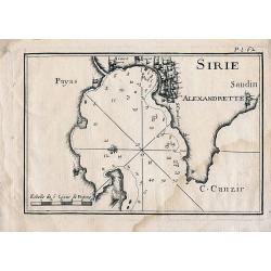
Sirie
Sea chart of Iskenderun in southern Turkey, close to the border to Syria. Published in Roux's influental work "Recueil des principaux plans des ports et rades de la ...
Date: Paris, 1764
Selling price: ????
Please login to see price!
Sold in 2010
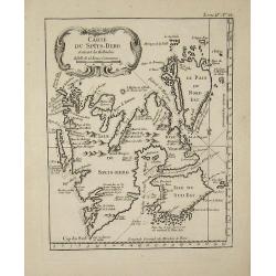
Carte du Spits-Berg
This map is from ''''Petit Atlas Maritime'''' and was etched by Croisey.
Date: 1764
Selling price: ????
Please login to see price!
Sold in 2008
Plan de la Ville de Candie. [Iráklion]
This chart shows the harbour of Iráklion. In lower part a key A-V, 1-12 to the bastions and gates of the town.From Bellin's Petit atlas maritime.Tome IV N119.Jacques Nic...
Date: Paris, 1764
Selling price: ????
Please login to see price!
Sold in 2023
Carte Des Isles Philippines Celebes et Moluques.
Attractive map of the region showing the islands of the Philippines, Sulawesi, the Moluccas, Timor, Flores, Bali, and parts of Borneo and Java. There is no interior detai...
Date: Paris, 1764
Selling price: ????
Please login to see price!
Sold in 2009
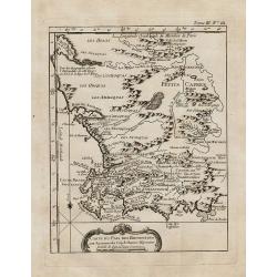
Carte du pais des Hottentots aux environs du Cap de Bonne Esperance.
Bellin\'s scarce vertical edition of the Cape of Good Hope. A finely colored engraving of the south-eastern coast of Africa around Cape Town. From the Le Petit Atlas Mari...
Date: Paris, 1764
Selling price: ????
Please login to see price!
Sold in 2008
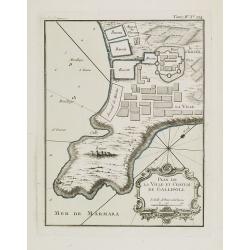
Plan de la ville et château de Gallipoli.
Nice detailed map of the Gallipoli peninsula located in Turkish Thrace (or East Thrace), in the European part of Turkey.The only issue of this version of Bellin's map, sl...
Date: Paris, 1764
Selling price: ????
Please login to see price!
Sold in 2014
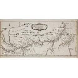
Guyane Portugaise et Partie du Cours de la Riviere des Amazones.
A good engraved map of the Amazon.
Date: Paris, 1764
Selling price: ????
Please login to see price!
Sold in 2010
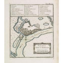
Plan de la ville d'Astracan.
Early town-plan of Astrakhan on the Volga River at the northern end of the Caspian Sea.Depths shown by soundings.From Bellin's Petit atlas maritime.Tome III N.6.Jacques N...
Date: Paris, 1764
Selling price: ????
Please login to see price!
Sold in 2012
Carte Générale de la Syrie / Palestine / Isle de Chypre. . .
A very fine map of Syria, Palestine, and the island of Cyprus with part of the surrounding countries, prepared for the understanding of the history of the Crusades by Gui...
Date: Paris, ca. 1764
Selling price: ????
Please login to see price!
Sold
Dédiée à Monsieur Boucher Premier Peintre du Roy, Recteur et Directur de son Academie Royalle de Peinture et de Sculpture...
Title page etching by Jean-Baptiste Le Prince (1734-1781), for "2me Suite de divers cris de marchands de Russie", showing typical Russian costumes. The sketches...
Date: Paris, 1764
Selling price: ????
Please login to see price!
Sold in 2013
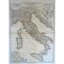
Map of Italy
Map of Italy.
Date: Paris, 1764
Selling price: ????
Please login to see price!
Sold in 2010
[MANUSCRIPT] Carte nouvelle de la Crimée et des pays circonvoisins.
A beautiful manuscript map on paper. Showing the northern part of the Black Sea region with Crimea.Interesting are the border lines of "New Serbia", shown in th...
Date: ca. 1752-1764
Selling price: ????
Please login to see price!
Sold in 2024
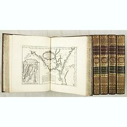
Le Petit atlas maritime. Recueil de cartes et plans des quatre parties du monde, en cinq volumes.
Important maritime atlas in five volumes, containing seven titles, dedication, 5 tables and 580 engraved maps and plans. Volume I: North America and the Caribbean, 102 m...
Date: Paris, 1764
Selling price: ????
Please login to see price!
Sold
(Title page) Premier livre de groupes d'enfants.
Etching by Pierre Aveline after François Boucher, title page in a breezy Rococo style.Underneath the print, lettered with name of designer and publication address: 'Huqu...
Date: Paris, Gabriel Huquier, 1764
Selling price: ????
Please login to see price!
Sold in 2011
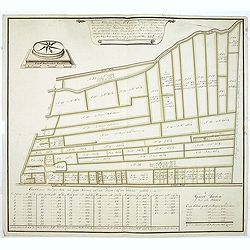
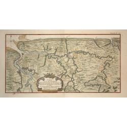
Voor den Weledelen Heer Mr Cornelis Pieter Pompe van Meerdervoort, Heere van Zwijndrecht. . .
Very fine and decorative map by Jan Govertsz van Linden, who was officially admitted as surveyor with by the court of Holland in 1736.According to the title the survey wa...
Date: Zwijndrecht, 27 october, 1764
Selling price: ????
Please login to see price!
Sold in 2011
Bosphorvs Thracicvs : der Kanal des Schwartzen Meers oder die Meer-Enge bey Constantinopel sambt denen an beiden ufern desselben gelegenen Stätten, Flecken, Dörffern, Schlössern, Palaesten, Lusthäusern, Wasserleitungen. . .
Rare and detailed map of the Bosporus, shows names of villages, towns, drainage, vegetation, and other points of interest. In top text columns.
Date: Nuremberg, 1764
Selling price: ????
Please login to see price!
Sold in 2011
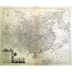
A New and Accurate Map of China, Drawn From Surveys Made by the Jesuit Missionaries. . .
Uncommon map by Kitchin, which appeared in "A Complete Collection of Voyages and Travels" by John Harris, printed for T. Osborne. The map closely resembles Thom...
Date: London, 1764
Selling price: ????
Please login to see price!
Sold in 2012
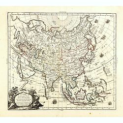
L'Asie, dressée pour l'étude de la Géographie . . .
Highly decorative map of Asia embellished with a landscape style title cartouche and several sailing ships.The map is of interest for the use of Mer de Corée, the sea be...
Date: Paris, 1765
Selling price: ????
Please login to see price!
Sold in 2023
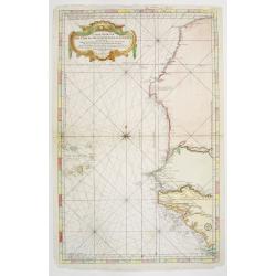
Carte Reduite des Costes Occidentales d'Afrique seconde feuille depuis le Cap Bojador jusqu'a la Riviere de Sierra Leona pour le service des Vaisseaux du Roy... Seconde feuille..
Sea chart of the West African coast, from Sierra Leone to southern Morocco, and including the Cape Verde Islands and part of the Canaries, all at a scale of about 1:3,000...
Date: Paris 1754 corrected in 1765
Selling price: ????
Please login to see price!
Sold
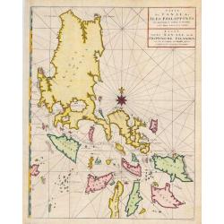
Carte du Canal des Iles Philippines Par lequel passe le Galion de Manille, et les Iles voisines de ce Canal.
A map of the Philippines from a Dutch edition of Anson's Voyage around the World.
Date: Amsterdam, 1765
Selling price: ????
Please login to see price!
Sold in 2016
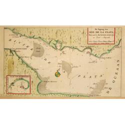
De Ingang van Rio de la Plata, Waar aan de Stad Buenos Ayres ligt, in Zuid-Amerika.
A map showing the Rio de la Plata estuary with the town of Buenos Aires. With an inset depicting the Bay of Maldonado.
Date: Amsterdam, 1765
Selling price: ????
Please login to see price!
Sold
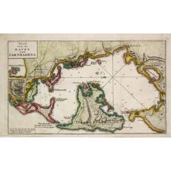
Plan van de Haven van Carthagena.
Izaak Tirion (d. 1769) Amsterdam publisher. His ' Nieuwe en beknopte handatlas' saw 6 editions between before 1740 and after 1784. Also ' Tegenwoordige staat van alle vol...
Date: Amsterdam, 1765
Selling price: ????
Please login to see price!
Sold
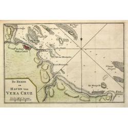
De Reede en Haven van Vera Cruz.
Izaak Tirion (d. 1769) Amsterdam publisher. His ' Nieuwe en beknopte handatlas' saw 6 editions between before 1740 and after 1784. Also ' Tegenwoordige staat van alle vol...
Date: Amsterdam,1765
Selling price: ????
Please login to see price!
Sold in 2020
![Carte de la Baye de Baston. [Boston]](/uploads/cache/17094-250x250.jpg)
![Suite des Isles Antilles 2.Partie. Together with 2.Partie [2 maps].](/uploads/cache/17123-250x250.jpg)
![Baye de Almerie. [4]](/uploads/cache/12224-250x250.jpg)
![Grande Plane de Cartagena. [5]](/uploads/cache/12225-250x250.jpg)
![Mt de Cette. [14]](/uploads/cache/12234-250x250.jpg)
![Grande Rade. [19]](/uploads/cache/12239-250x250.jpg)
![Plan de VillaFranche. [22]](/uploads/cache/12242-250x250.jpg)
![Plan de Porto Ferara. [26]](/uploads/cache/12246-250x250.jpg)
![Plane de Melazo. [32]](/uploads/cache/12252-250x250.jpg)
![Fonte de la Cantera. [37]](/uploads/cache/12257-250x250.jpg)
![I. Metelin. [53]](/uploads/cache/12273-250x250.jpg)
![[17] La Ciotat.](/uploads/cache/12906-250x250.jpg)
![[untitled] Balearic: Isle Fromentiere & Ivice](/uploads/cache/90490-250x250.jpg)
![Plan de la Ville de Candie. [Iráklion]](/uploads/cache/25918-250x250.jpg)

![[MANUSCRIPT] Carte nouvelle de la Crimée et des pays circonvoisins.](/uploads/cache/30484-250x250.jpg)
