Browse Listings
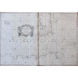
The Coast of the Mediterranean Sea from C. Tenelles to C. Bon, including the Islands of Minorca and Sardinia.
Very rare sea-chart showing the area from Minorca until the coast of Sicily, including most of Sardinia, Pantelleria, and a part of North Africa. With many place names al...
Date: London, 1764
Selling price: ????
Please login to see price!
Sold in 2018
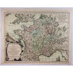
Galliae Veteris Tabula Populus. . .
This attractive copper-engraved map shows France with the ancient Roman names in Gaul. The detailed map depicts mountains, rivers, roads, and numerous towns. A beautiful ...
Date: Venice, 1764
Selling price: ????
Please login to see price!
Sold in 2020
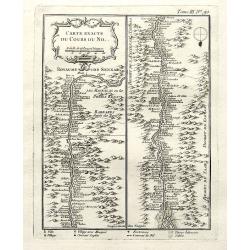
Carte exacte du cours du Nil.
A very detailed map of the Nile river. The banks are filled with place names of forts and villages. The river mouth is at the foot of the map. With a decorative title car...
Date: Paris, 1764
Selling price: ????
Please login to see price!
Sold in 2018
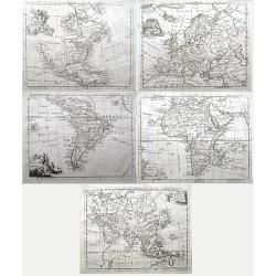
Set of four continents (Maps of North America; South America; Asia; Europe; Africa;)
Interesting set of five detailed maps of the continents. North America with large unexplored parts. Asia with unfinished coast lines and showing a "Companys Land&quo...
Date: London, 1764
Selling price: ????
Please login to see price!
Sold in 2018
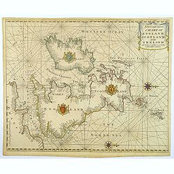
A New and Correct Chart of England Scotland and Ireland.
A striking sea chart of the British Isles, centered on the Isle of Man, published by Mount and Page in London, in the latter half of the eighteenth century. The chart is ...
Date: London, 1764
Selling price: ????
Please login to see price!
Sold in 2022
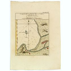
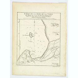
Carte de la Baye de la Table, et Rade du Cap de Bonne Esperance.
This nicely hand colored map is a copperplate map of the Cape of Good Hope, and of Cape Town, in South Africa. This map was issued both in Bellin's Le Petit Atlas Maritim...
Date: Paris, 1764
Selling price: ????
Please login to see price!
Sold in 2018
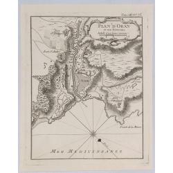
Plan d'Oran et Ses Environs.
A fine nautical chart of the fortified city of Oran in Algeria. It was published in “LE PETIT ATLAS MARITIME”. It features a decorative cartouche. Jacques Bellin (170...
Date: Paris, 1764
Selling price: ????
Please login to see price!
Sold in 2019
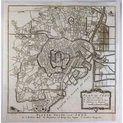
Plan de Jedo.
An antique city plan of the city and port of Tokyo, Japan built for the Dutch (VOC - Dutch East India Company) concession, on the Japanese island of Kyushu. Published by ...
Date: Paris, 1764
Selling price: ????
Please login to see price!
Sold in 2020
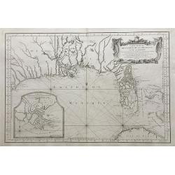
Carte Reduite des Costes de la Louisiane et de la Floride.
A very rare and large original engraved sea chart by Bellin from 1764. Details include Florida, the Gulf Coast and the Mississippi Valley. This is one of the best example...
Date: Paris, 1764
Selling price: ????
Please login to see price!
Sold in 2018
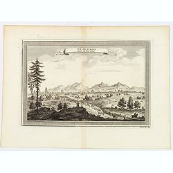
Vue de Peking tiree de Nieuhof.
This handsome view shows Beijing from the countryside, showing the city rising above its massive ancient walls. When Nieuhof visited Peking in the 1650s, the city was the...
Date: Paris, 1764
Selling price: ????
Please login to see price!
Sold in 2019
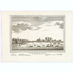
Vue du Chateau de Batavia.
A nice view of Batavia (now Jakarta in Indonesia) then under the control of the Dutch VOC. Many vessels are seen off the harbor, beneath the print is a lettered legend (A...
Date: Paris, ca 1764
Selling price: ????
Please login to see price!
Sold in 2020
Carte de la Baye de la Table, et Rade du Cap de Bonne Esperance.
A nice copperplate map of the Cape of Good Hope, and of Cape Town, in South Africa. This map was issued both in Bellin's Le Petit Atlas Maritime and in the French edition...
Date: Paris, 1764
Selling price: ????
Please login to see price!
Sold in 2021
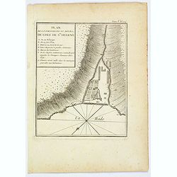
Plan de la Forteresse et Bourg, de Lisle de Ste. Helene.
A plan of the Fortress and Borough on the island of St. Helena by Bellin. With an inset legend of several important items and places of note, including the Govenor's hous...
Date: Paris, 1764
Selling price: ????
Please login to see price!
Sold in 2021
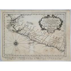
Partie de la Coste de Guinee.
A detailed map of the Guinea coast in West Africa, from the Sierra Leone River to Cape Palmas on the southern coast of what is now Liberia, from the atlas of Prevost d'Ex...
Date: Paris, 1764
Selling price: ????
Please login to see price!
Sold in 2019
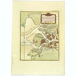
Plan de la Ville et Port de St. Petersbourg.
A nice and attractive map of St Petersburg by Bellin published in "Le Petit Atlas Maritime" and shows the city in detail along with the surrounding waterways. T...
Date: Paris, 1764
Selling price: ????
Please login to see price!
Sold in 2020
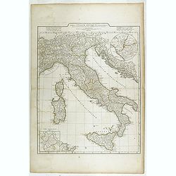
Tabula Italiae Antiquae. . .
Detailed map of Ancient Italy, including Corsica, Sardinia and Sicily.
Date: Rome, 1764
Selling price: ????
Please login to see price!
Sold in 2023
De la Geologie. Du Zodiaque et du L' Eclyptique, Explication des Saisons. [Lot of 3 maps]
Claude Buy de Mornas (d. 1783), géographe du roi (1764). Atlas Méthodique et Elémentaire de Géographie et d' Histoire, 1761, Atlas Historique et Géographique, 1762. ...
Date: Paris, 1762-1764
Selling price: ????
Please login to see price!
Sold in 2023
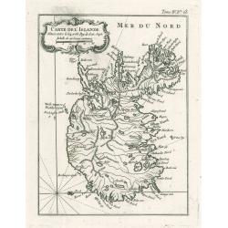
Carte De L'Islande
This elegant of Iceland by Bellin was published as part of his ‘Le Petit Atlas Maritime…’, which covered the world to the extent it was known and is one of the fine...
Date: Paris, 1764
Selling price: ????
Please login to see price!
Sold in 2023
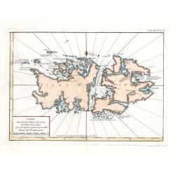
Carte Des Isles Malouines ou Isles Nouvelles - Isles de Falkland
This elegant sea chart of the Falkland Islands by Jacques Nicolas Bellin is from his ‘Le Petit Atlas Maritime…’, which covered the world to the extent it was known ...
Date: Paris, 1764
Selling price: ????
Please login to see price!
Sold in 2023
[Lot of 12 maps] INDIA maps+gravures - Carte De La Baye De Trinquemale Dans L’Isle De Ceylon
[Lot of 12] INDIA maps + gravure - Carte De La Baye De Trinquemale Dans L’Isle De Ceylon.- Platte Grond van t'Fort Tricoen male met de daar aangelegen Pagoods-Berg...
Date: 1764
Selling price: ????
Please login to see price!
Sold in 2023
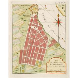
Plan de la Ville de Paramaribo Suivant les Plans Hollandois
Fine map of Panama Bay. From "Petit Atlas Maritime ". Jacques Nicolaas Bellin (1703-1772) was one of the most important and proficient French cartographers of t...
Date: Paris 1764
Selling price: ????
Please login to see price!
Sold
[63] Alexandrette.
"Charming chart of the harbour of the town of Alexandretta in Syria. Showing town and harbour plan, with soundings, anchorages, rocks, shoals, fortifications and lig...
Date: Marseille 1764
Selling price: ????
Please login to see price!
Sold
[68] Barbarie.
Charming of the coast near to Sfax and the island of Djerba. Showing town and harbour plan, with soundings, anchorages, rocks, shoals, fortifications and lighthouses.Jos...
Date: Marseille, 1764
Selling price: ????
Please login to see price!
Sold in 2014
[70] Tunis.
Charming chart of the coasts near the town of Tunis. Showing town and harbour plan, with soundings, anchorages, rocks, shoals, fortifications and lighthouses.Joseph Roux ...
Date: Marseille 1764
Selling price: ????
Please login to see price!
Sold in 2014
[73] Barbarie. Oran..
"Charming chart of the harbour of the town of Oran in Algeria. Showing town and harbour plan, with soundings, anchorages, rocks, shoals, fortifications and lighthous...
Date: Marseille 1764
Selling price: ????
Please login to see price!
Sold in 2014
[75] Barbarie.. Mamora.. Salee
"Charming chart of including the harbours of Mamora, Salee, etc. Showing town and harbour plan, with soundings, anchorages, rocks, shoals, fortifications and lightho...
Date: Marseille 1764
Selling price: ????
Please login to see price!
Sold in 2014
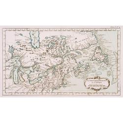
La Nouvelle France où Canada.
This chart shows the territories of New-France and Canada the day before the signature of the treaty of Paris.The only issue of this version of Bellin's map, slightly lar...
Date: Paris 1764
Selling price: ????
Please login to see price!
Sold
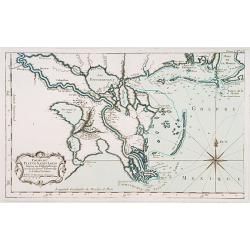
Cours du Fleuve Saint Louis..
The mouth of the River Mississippi, depths shown by soundings. The only issue of this version of Bellin's map, slightly larger than the standard version. From Bellin's Pe...
Date: Paris 1764
Selling price: ????
Please login to see price!
Sold
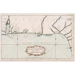
Carte de la coste de la Floride..
Shows the Florida panhandle to Mobile Bay. Little interior data was known. The only issue of this version of Bellin's map, slightly larger than the common version. From B...
Date: Paris 1764
Selling price: ????
Please login to see price!
Sold
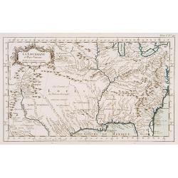
La Louisiane et Pays voisins.
The only issue of this version of Bellin's map, slightly larger than the common version. Excellent detail in the Santa Fe area. More than a dozen rivers, many with names ...
Date: Paris 1764
Selling price: ????
Please login to see price!
Sold
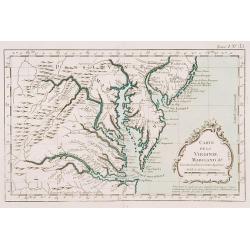
Carte de la Virginie Mari-Land &a.
Shows Virginia, Maryland, Delaware, and southern PA & New Jersey. From Bellin's Petit atlas maritime.Tome I N_35.Jacques Nicolas Bellin (1703-1772) was one of the mos...
Date: Paris 1764
Selling price: ????
Please login to see price!
Sold
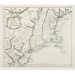
Carte de la Nouvelle Angleterre New York Pensilvanie..
Fine map of New England. From Bellin's Petit atlas maritime.Tome I N_29.Jacques Nicolas Bellin (1703-1772) was one of the most important and proficient French cartographe...
Date: Paris 1764
Selling price: ????
Please login to see price!
Sold
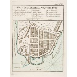
Ville de Manathe ou Nouvelle-Yorc.
This map, which was meant to show New York City, is the printed version of a hand drawn map by J.B.L. Franquelin in 1693.From the Bellin's Petit atlas maritime. In upper ...
Date: Paris 1764
Selling price: ????
Please login to see price!
Sold
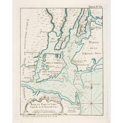
Baye et Port d'Yorc Capitale de la Nouvelle Yorc.
A great little map of the entrance of New York Harbour. The city is shown as a tiny village with other settlements including Neversink, Gravesend, Newark, Woodbridge and ...
Date: Paris 1764
Selling price: ????
Please login to see price!
Sold
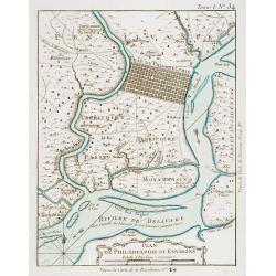
Plan de Philadelphie et Environs.
Nice early plan of the city of Philadelphia and vicinity depicting roads and scattered farms. Decorative title cartouche and fleur-de-lis. With manuscript reference to an...
Date: Paris 1764
Selling price: ????
Please login to see price!
Sold
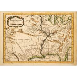
Carte de la Louisiane et Pays Voisins.
A very rare map of Louisiana, Texas and central north America, from Le Commerce de l'Amérique par Marseille, ou Explication des Lettres-Patentes du Roi, portant Reglemen...
Date: Avignon 1764
Selling price: ????
Please login to see price!
Sold in 2016
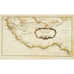
Carte des Costes de Guinée.
A very rare map of western part of Africa with the Ivory coast, from Le Commerce de l'Amérique par Marseille, ou Explication des Lettres-Patentes du Roi, portant Regleme...
Date: Avignon 1764
Selling price: ????
Please login to see price!
Sold
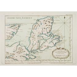
L'Isle Royale située à l'entrée du Golphe de Saint Laurent.
This chart shows the territories of Nova Scotia.The only issue of this version of Bellin's map, slightly larger than the common version. Depths shown by soundings.From Be...
Date: Paris 1764
Selling price: ????
Please login to see price!
Sold
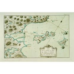
Plan de la Rade et Port de l'Isle Saint-Pierre.
This chart shows a detailed part of the east coast of the island Saint Pierre and Miquelon, which is now-a-day's still French territory.The only issue of this version of ...
Date: Paris 1764
Selling price: ????
Please login to see price!
Sold
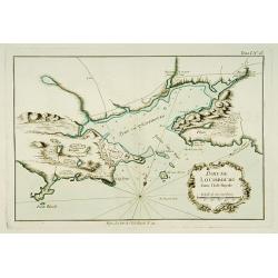
Port de Louisbourg dans l'Isle Royale.
This chart shows the harbour of Louisburg in the southeast portion of the island Nova Scotia in great detail.The only issue of this version of Bellin's map, slightly larg...
Date: Paris 1764
Selling price: ????
Please login to see price!
Sold
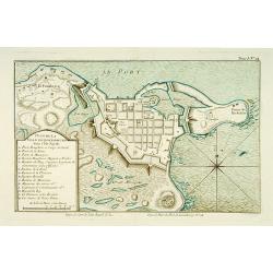
Plan de la ville de Louisbourg dans l'Isle Royale.
A plan of the city of Louisburg on l'Isle Royale.The only issue of this version of Bellin's map, slightly larger than the common version. Depths shown by soundings.From B...
Date: Paris 1764
Selling price: ????
Please login to see price!
Sold
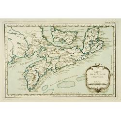
Carte de l'Acadie et Pays Voisins.
Fine chart shows in good detail Prince Edward Island, here called Isle Saint Jean, and covers all of Nova Scotia including Cape Breton. Locates numerous banks south of No...
Date: Paris 1764
Selling price: ????
Please login to see price!
Sold
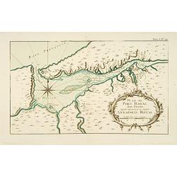
Plan du Port Royal dans l\'Acadie, Appelé Aujourd\' par les Anglois Annapolis Royal.
This chart shows the territories of Port Royal in Acadia.The only issue of this version of Bellin\'s map, slightly larger than the common version. Depths shown by soundin...
Date: Paris 1764
Selling price: ????
Please login to see price!
Sold
Plan de la Baye de Chibouctou nommée par les Anglois Halifax.
This chart shows the territories of Halifax in Nova Scotia, with an inset of the town.The only issue of this version of Bellin's map, slightly larger than the common vers...
Date: Paris 1764
Selling price: ????
Please login to see price!
Sold
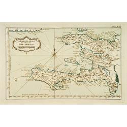
la Partie Francoise de l'Isle de Saint Domingue.
This chart shows the territories of what is today Haiti.The only issue of this version of Bellin's map, slightly larger than the common version. From Bellin's Petit atlas...
Date: Paris 1764
Selling price: ????
Please login to see price!
Sold
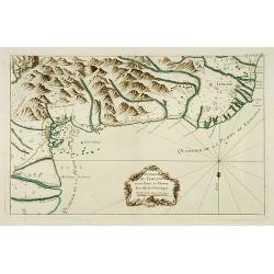
Environs de Leogane et du Port-au-Prince.
A highly detailed map of the area between Leogane and Port au Prince on Hispaniola, with a lovely decorative cartouche.The only issue of this version of Bellin's map, sli...
Date: Paris 1764
Selling price: ????
Please login to see price!
Sold
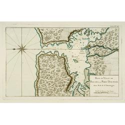
Baye et Ville de Bayaha ou Port Dauphin dans l'Isle de Saint-Domingue.
A detailed chart of the harbour of Banana on the north coast of what is today Haiti.The only issue of this version of Bellin's map, slightly larger than the common versio...
Date: Paris 1764
Selling price: ????
Please login to see price!
Sold
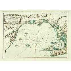
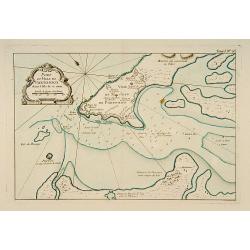
Plan de la Rade et Ville du Petit Goave dans l'Isle de St Domingue.
A very detailed chart of Petit Goave and l'Acul on the north coast of what is today Haiti.The only issue of this version of Bellin's map, slightly larger than the common ...
Date: Paris 1764
Selling price: ????
Please login to see price!
Sold
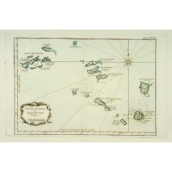
Petites Antilles ou Isle du Vent.. 3ème. Partie.
This chart shows The Windward Islands from the Virgin Islands to Antigua.The only issue of this version of Bellin's map, slightly larger than the common version. Depths s...
Date: Paris 1764
Selling price: ????
Please login to see price!
Sold
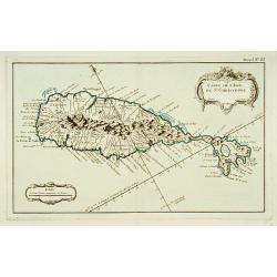
Carte de l'Isle de Saint-Christophe.
This chart shows the island of St. Kitts. Shows interesting topographic details, notes, ports, anchorages, etc.The only issue of this version of Bellin's map, slightly la...
Date: Paris 1764
Selling price: ????
Please login to see price!
Sold
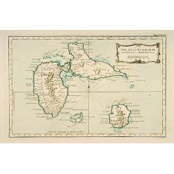
Isle de Guadeloupe les Saintes et Marie Galante.
This chart shows the islands of Guadeloupe, Les Saintes et Marie Galante.The only issue of this version of Bellin's map, slightly larger than the common version. Depths s...
Date: Paris 1764
Selling price: ????
Please login to see price!
Sold
Partie occidentale de l'Isle de la Guadeloupe appellée la Basse Terre. / Partie Orientale de l'Isle de la Guadeloupe.. [2 maps]
A set of 2 maps showing the northern and southern islands of Guadeloupe.The only issue of this version of Bellin's maps, slightly larger than the common version. Depths s...
Date: Paris 1764
Selling price: ????
Please login to see price!
Sold
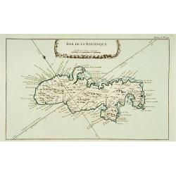
Isle de la Martinique.
This chart shows the island of Martinique,.The only issue of this version of Bellin's map, slightly larger than the common version.From Bellin's Petit atlas maritime.Tome...
Date: Paris 1764
Selling price: ????
Please login to see price!
Sold
Partie Septentrionale de la Martinique. / Partie Meridionale de la Martinique. [set of 2 maps]
A set of two maps depicting the island Martinique.Engraved by Croisey. The only issue of this version of Bellin's map, slightly larger than the common version. Depths sho...
Date: Paris 1764
Selling price: ????
Please login to see price!
Sold
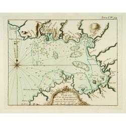
Partie du Cul de Sac Royal de la Martinique.
This chart shows the territories of the bay around Fort Royal on the island of Martinique.The only issue of this version of Bellin's map, slightly larger than the common ...
Date: Paris 1764
Selling price: ????
Please login to see price!
Sold
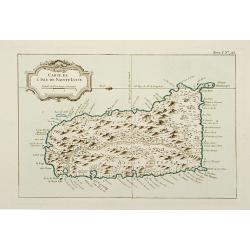
Carte de l'Isle de Sainte Lucie.
This chart shows the island Saint Lucie.The only issue of this version of Bellin's map, slightly larger than the common version.From Bellin's Petit atlas maritime.Tome I ...
Date: Paris 1764
Selling price: ????
Please login to see price!
Sold
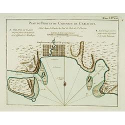
Plan du Port et du Carenage de Cariacoua.
A map of the proposed city and harbour of Carenage de Cariacoua, on the island of St. Vincent.The only issue of this version of Bellin's map, slightly larger than the com...
Date: Paris 1764
Selling price: ????
Please login to see price!
Sold
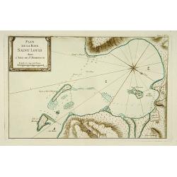
Plan de la Baye Saint Louis dans l'Isle de Saint Domingue.
This chart shows the Bay of Saint Louis on the island Saint-Domingue.The only issue of this version of Bellin's map, slightly larger than the common version. Depths shown...
Date: Paris 1764
Selling price: ????
Please login to see price!
Sold
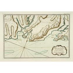
Carte des Bayes Du Mesle des Flamands et de Cavaillon dans l'Isle de St Domingue.
This chart shows the south coast of St Domingo, with the bay area's of Bayes du Mesle des Flamands and Cavaillon.The only issue of this version of Bellin's map, slightly ...
Date: Paris 1764
Selling price: ????
Please login to see price!
Sold
Port et Ville de Porto-Rico dans l'Isle de ce nom.
This chart shows the territories of the harbour and town of "Porto Rico" on St. Jean Island, St. John. The only issue of this version of Bellin's map, slightly ...
Date: Paris 1764
Selling price: ????
Please login to see price!
Sold
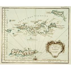
Carte des isles des vierges.
This chart shows the Virgin Islands with island Saint Croix.The only issue of this version of Bellin's map, slightly larger than the common version.From Bellin's Petit at...
Date: Paris 1764
Selling price: ????
Please login to see price!
Sold
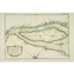
Partie du Fleuve de Saint -Laurent avec le Bassin de Québec et l'Isle d'Orléans.
This chart shows the island of Orleans in the river Saint Laurent .The only issue of this version of Bellin's map, slightly larger than the common version. Depths shown b...
Date: Paris 1764
Selling price: ????
Please login to see price!
Sold
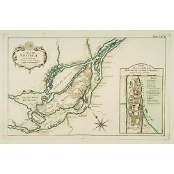
L'Isle de Montréal et ses Environs.
This chart shows the territories of the island Montreal, with an inset plan of the town with a lettered key.The only issue of this version of Bellin's map, slightly large...
Date: Paris 1764
Selling price: ????
Please login to see price!
Sold
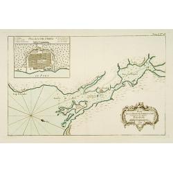
[Detroit] La Rivière du Détroit Depuis le lac Sainte Claire jusqu'au Lac Erié.
This is the first separately printed map of Detroit, showing the village, fort, anchorages, islands and navigational hazards, with an inset of the fort with five lettered...
Date: Paris 1764
Selling price: ????
Please login to see price!
Sold
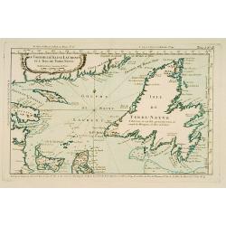
Le Golphe de Saint-Laurent et l'Isle de Terre-Neuve.
This chart shows the territories the Saint Laurent and the island of Newfoundland.The only issue of this version of Bellin's map, slightly larger than the common version....
Date: Paris 1764
Selling price: ????
Please login to see price!
Sold
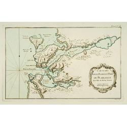
Carte des Bayes, Rades et Port de Plaisance dans l'Isle de Terre-Neuve.
This chart shows the territories of the bay and harbour of Plaisance on New Found land.The only issue of this version of Bellin's map, slightly larger than the common ver...
Date: Paris 1764
Selling price: ????
Please login to see price!
Sold
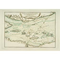
Partie du Fleuve de Saint Laurent avec le Passage de la Traverse et des Isles Voisines.
Striking chart shows islands in the St. Lawrence River in the channels east/northeast of Isle D'Orleans. Locates the Iberville Channel & the current ship channel used...
Date: Paris 1764
Selling price: ????
Please login to see price!
Sold
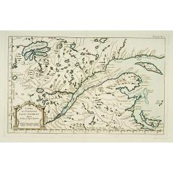
Cours du Fleuve de Saint Laurent depuis la Mer jusqu'à Québec.
Handsome chart shows the lands on both sides of the St. Lawrence River from the Gulf to Quebec. Includes the Gaspe Peninsula, Chaleurs Bay, Isle St. Jean (Prince Edward I...
Date: Paris 1764
Selling price: ????
Please login to see price!
Sold
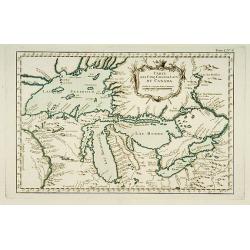
Carte des Cinq Grands Lacs du Canada.
This map shows the territories of all the 5 great lakes. The map shows Indian land, forts, missions, rivers and lakes, plus some trails and portages.The only issue of thi...
Date: Paris 1764
Selling price: ????
Please login to see price!
Sold
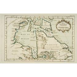
Baye de Hudson et Pays Voisins.
This chart shows the territories of Hudson Bay.The only issue of this version of Bellin's map, slightly larger than the common version. Depths shown by soundings.From Bel...
Date: Paris 1764
Selling price: ????
Please login to see price!
Sold
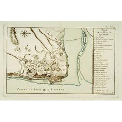
Plan de la Ville de Québec.
A detailed plan the territories of city of Québec. With a lettered key, indicating the principal places in town.The only issue of this version of Bellin's map, slightly ...
Date: Paris 1764
Selling price: ????
Please login to see price!
Sold
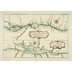
Partie du Fleuve St. Laurent depuis Québec jusqu'au Lac St. François. / Carte du Lac Champlain.
Two charts on one sheet. The upper chart showing the river S.Laurence from Quebec. The lower chart is a detailed depiction of Lake Champlain.The only issue of this versio...
Date: Paris 1764
Selling price: ????
Please login to see price!
Sold
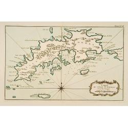
Carte de l'Isle St-Thomas l'Une des Vierges.
This chart shows the island St-Thomas.The only issue of this version of Bellin's map, slightly larger than the common version. Depths shown by soundings.From Bellin's Pet...
Date: Paris 1764
Selling price: ????
Please login to see price!
Sold
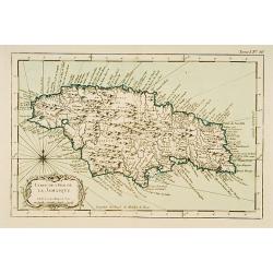
Carte de l'Isle de la Jamaïque.
This chart shows the island of Jamaica.The only issue of this version of Bellin's map, slightly larger than the common version.From Bellin's Petit atlas maritime.Tome I N...
Date: Paris 1764
Selling price: ????
Please login to see price!
Sold
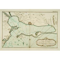
Carte des Havres de Kingstown et de Port Royal.
This chart shows the harbour of Kingston and the fortress of Port Royal.The only issue of this version of Bellin's map, slightly larger than the common version. Depths sh...
Date: Paris 1764
Selling price: ????
Please login to see price!
Sold
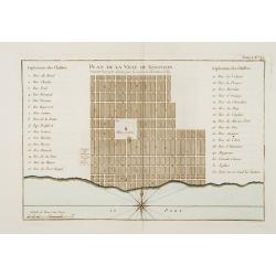
Plan de la Ville de Kingston Suivant le projet donné par le Colonel Christian Lilly.
Plan of the city of Kingston on Jamaica. With a numbered key (1-32) referring to the names of the principal streets.The only issue of this version of Bellin's map, slight...
Date: Paris 1764
Selling price: ????
Please login to see price!
Sold
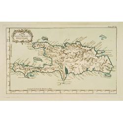
Isle de St Domingue.
This chart shows the island St Domingue.The only issue of this version of Bellin's map, slightly larger than the common version. Depths shown by soundings.From Bellin's P...
Date: Paris 1764
Selling price: ????
Please login to see price!
Sold
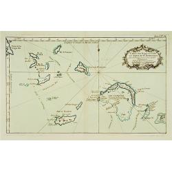
Carte des Isles situées au Nord de St Domingue Avec les Passages pour le retour appellés Débouquemens.
This chart shows the territories of the Caicos Islands and Acklins islands, north of St. Domingue.The only issue of this version of Bellin's map, slightly larger than the...
Date: Paris 1764
Selling price: ????
Please login to see price!
Sold
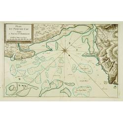
Plan Du Port du Cap dans l'Isle de St. Domingue.
This chart shows the harbour of Cap on the island St-Domingue.The only issue of this version of Bellin's map, slightly larger than the common version. Depths shown by sou...
Date: Paris 1764
Selling price: ????
Please login to see price!
Sold
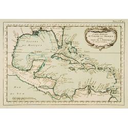
Carte Réduite du Golf du Mexique et des Isles de l'Amérique
This chart shows the Caribbean islands.The only issue of this version of Bellin's map, slightly larger than the common version. From Bellin's Petit atlas maritime.Tome I ...
Date: Paris 1764
Selling price: ????
Please login to see price!
Sold
![De la Geologie. Du Zodiaque et du L' Eclyptique, Explication des Saisons. [Lot of 3 maps]](/uploads/cache/IMG_0104-250x250.jpg)
![[Lot of 12 maps] INDIA maps+gravures - Carte De La Baye De Trinquemale Dans L’Isle De Ceylon](/uploads/cache/4100003-250x250.jpg)
![[63] Alexandrette.](/uploads/cache/12835-250x250.jpg)
![[68] Barbarie.](/uploads/cache/12840-250x250.jpg)
![[70] Tunis.](/uploads/cache/12842-250x250.jpg)
![[73] Barbarie. Oran..](/uploads/cache/12845-250x250.jpg)
![[75] Barbarie.. Mamora.. Salee](/uploads/cache/12905-250x250.jpg)
![Partie occidentale de l'Isle de la Guadeloupe appellée la Basse Terre. / Partie Orientale de l'Isle de la Guadeloupe.. [2 maps]](/uploads/cache/17051-250x250.jpg)
![Partie Septentrionale de la Martinique. / Partie Meridionale de la Martinique. [set of 2 maps]](/uploads/cache/17054-250x250.jpg)
![[Detroit] La Rivière du Détroit Depuis le lac Sainte Claire jusqu'au Lac Erié.](/uploads/cache/17065-250x250.jpg)
