Browse Listings in America
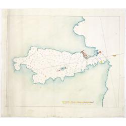
Manuscript plan of Havana harbour.
Manuscript chart with good nautical detail and soundings of Havana harbour.
Place & Date: Spain c.1820
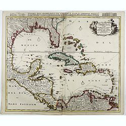
Stoel des Oorlogs in America Waar in Vertoont Werden Alle Desself Voornaamste Eylande . . .
Large impressive map of the West Indies with the Gulf of Mexico and Florida. The map shows prominently in the center Cuba, Haiti, the Bahamas and Florida, which is here m...
Place & Date: Amsterdam, c. 1720
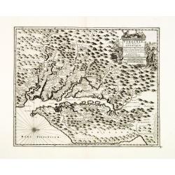
Virginie, Grande Region l'Amerique Septentrionale...
Pierre van der Aa used the old copper plate of Meurs and re-did the engraving, changed the large pictorial cartouche, a new scale of German and French leagues is provided...
Place & Date: Amsterdam, 1729
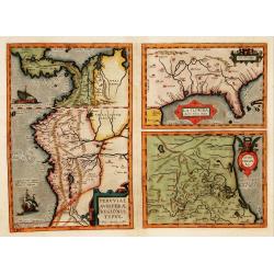
La Florida/ Peruviae Auriferae regionis Typus/ Guastecan.
The Chaves map of Florida is a prime example of an explorer's map since it records the recent discoveries of Cabeza de Vaca, De Soto, and Moscoso. The map revealed little...
Place & Date: Antwerp, 1592
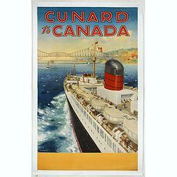
Cunard to Canada.
Poster by Charles Eddowes Turner for Cunard lines. The poster shows The NEW SYLVANIA, one of the four new 22,000 - ton Cunarders which are the largest ever built for serv...
Place & Date: England, ca. 1930
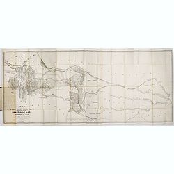
Map of the Great Salt Lake And Adjacent Country in the Territory Of Utah. Surveyed in 1849 and 1850, under the orders of Col. J.J. Abert ...
Map of the Great Salt Lake And Adjacent Country in the Territory Of Utah. Surveyed in 1849 and 1850, under the orders of Col. J.J. Abert .. by Capt. Howard Stansbury .. a...
Place & Date: Ackerman, New York, 1852
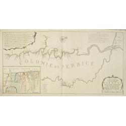
Nieuwe gemeten kaart van de colonie de Berbice met der zelver plantagiën en de namen der Bezitters. . .
Re-issue of his map from 1740, without the printed list of owners, with a large added contemp. hand-colored cartouche Relaas van de rebellie, ontstaan op de plantagien in...
Place & Date: Amsterdam, ca.1763
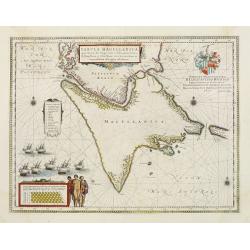
Tabula Magellanica.
A map with Willem Blaeu's signature, but published by his son Joan, of South America's extremity with the Strait of Magellan and Le Maire Strait.The coastlines are depict...
Place & Date: Amsterdam, 1658
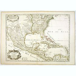
Carte du Mexique et des Etats Unis d'Amérique...
A later edition of De l'Isle's foundation map of 1703, is widely regarded as one of the most influential maps in the history of American Cartography. This updated version...
Place & Date: Paris, 1783
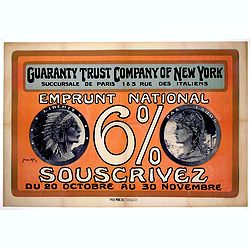
Guaranty Trust Company of New York. Emprunt national 6%.n Souscrivez.
Very decorative propaganda poster with design by Mark All of Paris for "Guaranty Trust Company of New York", a JPMorgan Chase predecessor in order to promote th...
Place & Date: Paris, 1918
