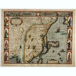
The Kingdome of China.
A most sought-after map of China. Decorative border vignettes including views of the cities of Quinzay and Macao along the top border with the wheeled wind machines and p...
Place & Date: London, G. Humble, 1627
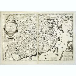
Parte orientale della China.. / Parte occidentale della China. (2 sheets)
The map depicts the eastern part of China with Korea -correctly- as a peninsula. Formosa is included as well. Japan is partly visible i.e. the area of Yamaguchi, strait K...
Place & Date: Venice, 1695
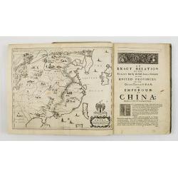
An embassy from the East-India Company of the United Provinces, to the Grand Tartar Cham, Emperor of China deliver'd by their excellencies, Peter de Goyer and Jacob de Keyzer, at his imperial city of Peking. . .
Very rare first English text edition of this most important and early resource on China and the Chinese. Three parts in one folio by John Macock for the author.Part I: An...
Place & Date: London : Printed by the Author at his house in White-Friers, 1669
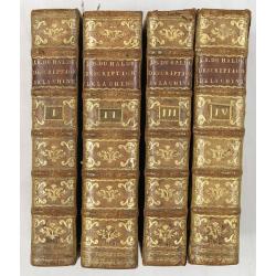
Description geographique, historique, chronologique, politique, et physique de l'empire de la Chine et de la Tartarie chinoise . . . du Thibet, & de la Coree. . .
Without the separately published atlas. Lacking 2 plates in vol.2 (Obseques at p.149 and Gin seng at p.180), one plate torn without a loss (vol.1, p.230), d4 vol.1 with a...
Place & Date: The Hague, H. Scheurleer, 1736
[ Hong Kong / Canton ] Nieuwe Pas=Caart strekkende van Pta Cataon tot Pta. Lamtoan, langs de kusten van Cochinchina, Tonquin, Quangsi en Quantung [?] van Macao.
A finely engraved and detailed chart of Vietnam reaching to Macao and present-day Hong Kong..Very rare: only included in the 6th volume (so-called secret atlas) of Van Ke...
Place & Date: Amsterdam, 1753
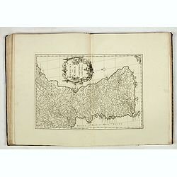
Nouvel atlas de la Chine, de la Tartarie chinoise, et du Thibet.
First edition of "the principal cartographic authority on China during the 18th century". It was the second major atlas of China produced in Europe following th...
Place & Date: The Hague, H. Scheurleer, 1737
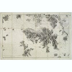
COLLECTION OF HONG KONG MAPS, BOOKS & FLYERS. Including CHINA - HONGKONG surveyed by Captn. Sir Edward Belcher, in H.M.S. Sulphur 1841. Corrected to 1901.
A collection of 30 maps, prints, and publications relating to Hong Kong. Including : - BELCHER, E. Sir, An updated version of this most important nautical chart of Hong K...
Place & Date: London, 1841 - 1901
![[ Hong Kong / Canton ] Nieuwe Pas=Caart strekkende van Pta Cataon tot Pta. Lamtoan, langs de kusten van Cochinchina, Tonquin, Quangsi en Quantung [?] van Macao.](/uploads/cache/24951-250x250.jpg)
