Browse Listings in Asia
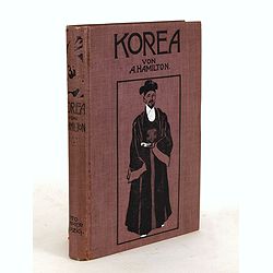
Korea. Das Land des Morgenrots. Nach seinen Reisen geschildert von Angus Hamilton. Autorisierte Übersetzung aus dem Englischen.
With 114 illustrations after photographes and one map.
Place & Date: Leipzig: Spamer, 1904
![Ch'onha chido.[Atlas of all under Heaven]](/uploads/cache/44639composition-world-250x250.jpg)
Ch'onha chido.[Atlas of all under Heaven]
A late 18th century Ch'onha chido atlas with 13 woodblock maps showing the World, China, Korea, Japan, Okinawa, and the 8 provinces. The seas are in black.
Place & Date: Korea, ca. 1760

Nuova carta dell' Imperio della Chia e dei Paesi circonvicini. / Nueva carta de l'Impario de la Quina.
The map is of interest for the use of Mar di Corea" and "Mar Setentrionale del Giapone" in the sea between Korea and Japan.Rare early edition of Albrizzi's...
Place & Date: Venice, 1740
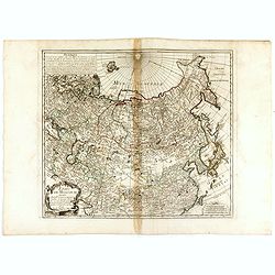
ETATS DE MOSCOVIE.
A detailed map of the Russian Empire West to East from Poland, Finland to the Baring Strait and North to South from China to Spitzbergen. The Siberian coastline is based ...
Place & Date: Paris, 1744

Habillement de l'Empereur de la Chine & des Dames de son Palais..
This impressive engraving is a wonderful example of Chatelain’s elegant plates.Divided in 3 panels, showing examples of costumes of Chinese ladies and those of the king...
Place & Date: Amsterdam, ca. 1728

Insulae Indiae Orientalis.
Map of South East Asia with good detail on the Philippines from the rare Cloppenburg edition slightly larger format and more scarce edition of the Mercator/Hondius "...
Place & Date: Amsterdam, 1630

Ormus
A lovely map of miniature map the Kingdom of Ormus, published by Petrus Bertius, and published in Amsterdam at the beginning of the seventeenth century. With an attractiv...
Place & Date: Amsterdam, 1606
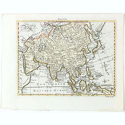
Asia.
Detailed map the Asian continent. The map is of interest for the use of Sea of Corea, the sea between Korea and Japan.
Place & Date: Amsterdam, 1682
Selling price: $225
Sold in 2023
![[Lot of 4 charts] Plan de la Baie et du Port de Camraigne / Plan de la Baie de Niatrang et du Golfe de Binkang / Plan de la Cote de Cochinchine. . . / Plan des Ports de Xuandai, Vung-Lam. . .](/uploads/cache/44795A-250x250.jpg)
[Lot of 4 charts] Plan de la Baie et du Port de Camraigne / Plan de la Baie de Niatrang et du Golfe de Binkang / Plan de la Cote de Cochinchine. . . / Plan des Ports de Xuandai, Vung-Lam. . .
[A set of four French sea charts numbered consecutively]. A set of 4 basic coastal sea charts of parts of southern French Indochina (Vietnam).Chart 295 centers on the reg...
Place & Date: Paris ca 1780
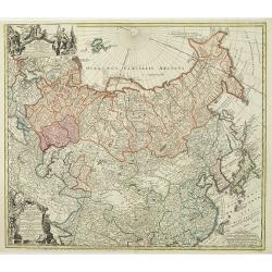
Imperii Russici et Tartariae Universae tam majoris Afiaticæ quam minoris et EuropæTabula.
The map is of interest for the use of Mere Orientale Minus Corea for the sea between Korea and Japan.Decorative map covering Russia, Tibet, China, Tartary, Korea, Taiwan ...
Place & Date: Nuremberg, 1739