Browse Listings in America
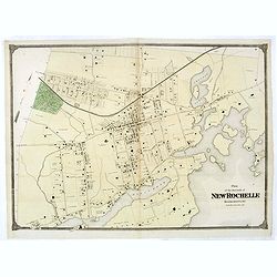
Plan of the Borough of New Rochelle, Westchester Co. N.Y.
Fine lithographed map of the plan of the Borough of New Rochelle. The map provides the names of specific homeowners, as well as information about the occupations and phys...
Place & Date: New York, 1867
[Incas lay siege to Cusco.]
Atahualpa’s brother, Manco, organized a long and bloody siege to reoccupy the Inca capital, which eventually spread to open rebellion throughout the land. Pizarro, who ...
Place & Date: Frankfurt, M.Merian, 1633
[The Dutch covalesce on the Isle Santa Clara.]
Many of the Dutch were in poor health after their Atlantic crossing and when they found an island to the north of Rio de Janeiro, called Santa Clara, (I. do Francez) they...
Place & Date: Frankfurt, M.Merian, 1633
[ Indian accessories ].
Aquatint depicting Indian accessories engraved by Gallina. Plate N°49.From Giulio Ferrario's work Le Costume Ancien et Moderne ou Histoire du gouvernement, de la milice,...
Place & Date: Milan, 1827
[ Portraits of Motezuma II and Cortes ].
Aquatint depicting two portraits of Motezuma II and Cortes engraved by Gallina. Plate N°63.Montezuma II was trained as a priest and rose to become leader of the Aztecs i...
Place & Date: Milan, 1827
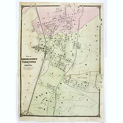
Plan of the Beekmanton Tarryntown and Ivring. Westchester Co. N.Y.
Fine lithographed map of the plan of the Beekmantown, Tarrytown, and Irving, New York. The map provides the names of specific homeowners, as well as information about the...
Place & Date: New York, 1867
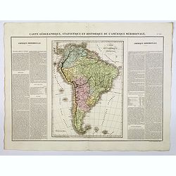
Carte Geographique, Statistique et Historique de l'Amerique Meridionale.
A nice detailed map of South America from Buchon's Atlas Gégraphique Statistique, historique et chronologique des deux Ameriques et des isles adjacentes traduit de l'atl...
Place & Date: Paris, 1825
[ Niagara Falls ]
Two aquatints depicting the Horse Shoe Fall (also known as Canadian Falls at the top) and the Fort Schloper Fall (bottom) engraved by Biasolé. From Giulio Ferrario's wor...
Place & Date: Milan, 1827
[ Local Mexican Indian game, the Voladores de Papantla ].
Aquatint depicting local game engraved by Fumagalli. Plate N°77.The Aztecs also had spectacular dances such as the Voladores de Papantla ,the Sun Dance, in which the dan...
Place & Date: Milan, 1827
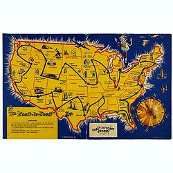
Coast to Coast.
A game board that features a map of the U.S. with a built-in spinner. Players travel a circular track around the map visiting landmarks as they go. A fun way to learn geo...
Place & Date: New York, ca. 1950

![[Incas lay siege to Cusco.]](/uploads/cache/40353-250x250.jpg)
![[The Dutch covalesce on the Isle Santa Clara.]](/uploads/cache/40359-250x250.jpg)
![[ Indian accessories ].](/uploads/cache/27566-250x250.jpg)
![[ Portraits of Motezuma II and Cortes ].](/uploads/cache/27573-250x250.jpg)


![[ Niagara Falls ]](/uploads/cache/27543-250x250.jpg)
![[ Local Mexican Indian game, the Voladores de Papantla ].](/uploads/cache/27587-250x250.jpg)
