Browse Listings in America > North America
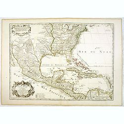
Carte du Mexique et des Etats Unis d'Amérique...
A later edition of De l'Isle's foundation map of 1703, is widely regarded as one of the most influential maps in the history of American Cartography. This updated version...
Place & Date: Paris, 1783
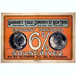
Guaranty Trust Company of New York. Emprunt national 6%.n Souscrivez.
Very decorative propaganda poster with design by Mark All of Paris for "Guaranty Trust Company of New York", a JPMorgan Chase predecessor in order to promote th...
Place & Date: Paris, 1918
Partie de L'Amerique Septentrionale, qui comprend Le Cours De L'Ohio, La N[ouve]lle Angleterre, La N[ouve]lle York, Le New Jersey, La Pensylvanie, Le Maryland, La Virginie, La Caroline.
Double page map of the East coast of America, showing the area from Maine to South Carolina. Inset map titled ""Supplement Pour La Caroline"" showing ...
Place & Date: Paris. 1755
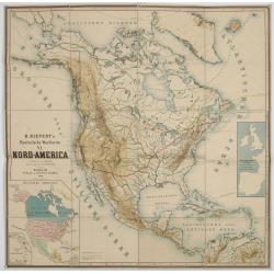
Kiepert's Physikalische Wandkarten. VI. Nord-America.
Large folding school wall map of North and Central America printed in chromo-lithography. Published by Dieter Reimer and printed by Leopold Kraatz in Berlin. Three inset...
Place & Date: Berlin, Dieter Reimer, 1864
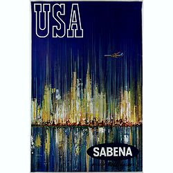
Sabena (USA - NYC).
Sabena Belgian World Airlines poster showing the skyline of New York in abstract style. Published by Rali Brisart in Belgium.La Sabena, acronym for Societé Anonyme Belg...
Place & Date: Brussels, ca. 1970
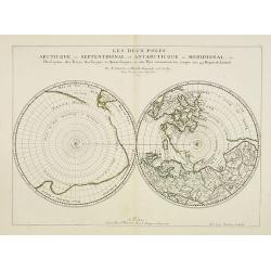
Les deux poles articque ou septentrional et antarticque..
A double hemisphere map to the North and South poles. The North pole is connected to Greenland and Spitzbergen but there is little other detailed coastline in the polar a...
Place & Date: Paris, 1657
20 small lithographed views of Washington DC and Georgetown.
20 small lithographed town-views of Washington DC and Georgetown, cut out from a larger sheet. Showing the East Front of the Capitol, Treasury, Smithsonian Institute, Pre...
Place & Date: Casimir Bohn, Washington, D.C.: 1849
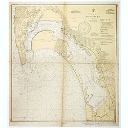
San Diego Bay. (Chart 5107)
Nautical chart of San Diego Bay of 1945. Printed in black, yellow and purple the "Seaward limit defensive sea area". The water area within the indicated limits ...
Place & Date: Washington, 1945
[City Of New York and Environs].
A very decorative bird's-eye view of Manhattan, Brooklyn, and part of New Jersey. Manhattan Island from the southwest is surrounded by the Hudson, Harlem, East River, and...
Place & Date: New York, 1875
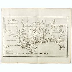
Map of Louisiana from D'Anville's Atlas.
This map presents a highly detailed treatment of the region from Cabo Del Norte to the Apalachiola River, centered on the mouth of the Mississippi and extending inland to...
Place & Date: London, 1788
![Partie de L'Amerique Septentrionale, qui comprend Le Cours De L'Ohio, La N[ouve]lle Angleterre, La N[ouve]lle York, Le New Jersey, La Pensylvanie, Le Maryland, La Virginie, La Caroline.](/uploads/cache/1129917-250x250.jpg)

![[City Of New York and Environs].](/uploads/cache/27530-250x250.jpg)
