Browse Listings in Map Types > Curiosities general

Mercurius.
Mercury holding a caduceus and riding in a chariot drawn by two birds on the clouds in the sky, an extensive landscape with a harbor with goods being loaded and unloaded ...
Place & Date: Antwerp, 1585

Lapis polaris magnes.
This is a plate from a series of twenty prints illustrating new inventions and discoveries (Nova Reperta) after Jan van der Straet. On image, bottom right: 'Ion. Stradanu...
Place & Date: Antwerp, Philips Galle, c. 1590

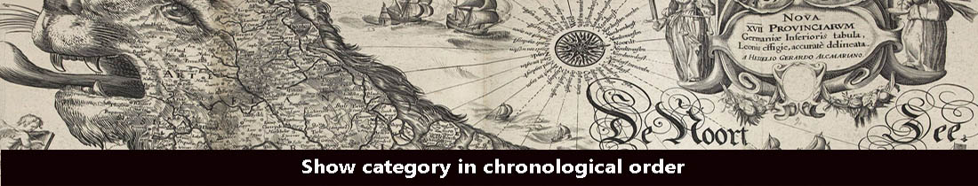
Tabula Anemographica seu Pyxis Nautica.
Impressive compass rose with a fleur de lis at the center and 32 wind directions flowing from it identified in six languages, Greek, Latin, French, Dutch, Italian, and Sp...
Place & Date: Amsterdam, 1650

Insula Huaena sive Venusia a Guiljelmo Blaeu cum sub Tychone Astronomiae operam daret, delineata.
Decorative map of the island Hvan in the Danish Sound. In the center Tycho Brahe's famous observatory Uraniborg established in 1576, under the patronage of Frederick II, ...
Place & Date: Amsterdam, 1659

Original copperplate.
Showing the coast of southern Morocco, the Sahara with the Canary Islands. Copperplates that had been used in the production of early maps are of the greatest rarity and ...
Place & Date: Amsterdam, ca. 1660

Launa vulgo Laun Bohemiae civitas.
Bird's-eye views of Louny in Bohemia by G. Hoefnagel. The copperplate was made for Braun and Hogenberg's town book. However there the print has been transformed by the en...
Place & Date: The Hague, 1700

Schlanium vulgo Schlani Bohemiae oppidum.
Very decorative and rare panoramic town view of Schlan, Schlanium s. Slany.The engraver and publisher of prints, Mrs. Anna Beek of the Hague, enlarged this print, origina...
Place & Date: The Hague, 1700

Carte des pavillons accompagnée d'observations pour en faire comprendre le blazon et les différentes devises aussy bien que d'une table alphabétique pour les trouver facilement.?
Map of 88 marine flags, including Malta, Turkey, Middelburg, Amsterdam, Portugal, Monaco, Tuscany, China, Nanking, the French Royal flag, French admiralty flag and mercha...
Place & Date: Amsterdam, 1720

Colossus Monarchic. Statua Danielis
Fantastic double page allegorical map of a colossus figure representing the great world empires as Daniel interpreted in Nebuchadnezzar's dream. The warrior stands stolid...
Place & Date: Augsbourg, 1730

Carta Topografica dell' Isola Del Maritaggio di Monsieur le Boble per la prima volta. Tradotta dal francese in italiano.
Second Italian printing of Eustache Le Noble’s "Carte de l’isle de marriage." The book’s text offers instructions on how to reach this matrimonial island ...
Place & Date: Cosmopoli, 1766